
VARDOUSSIA
KILOMETERS
DURATION
ELEVATION
PROPOSED SEASON
DIFFICULTY
PHYSICAL CONDITION
TECHNICAL DIFFICULTY
STARTING POINT
Author:
G. Koutrotsios
Photos:
G. Koutrotsios
THE ALPS OF GREECE
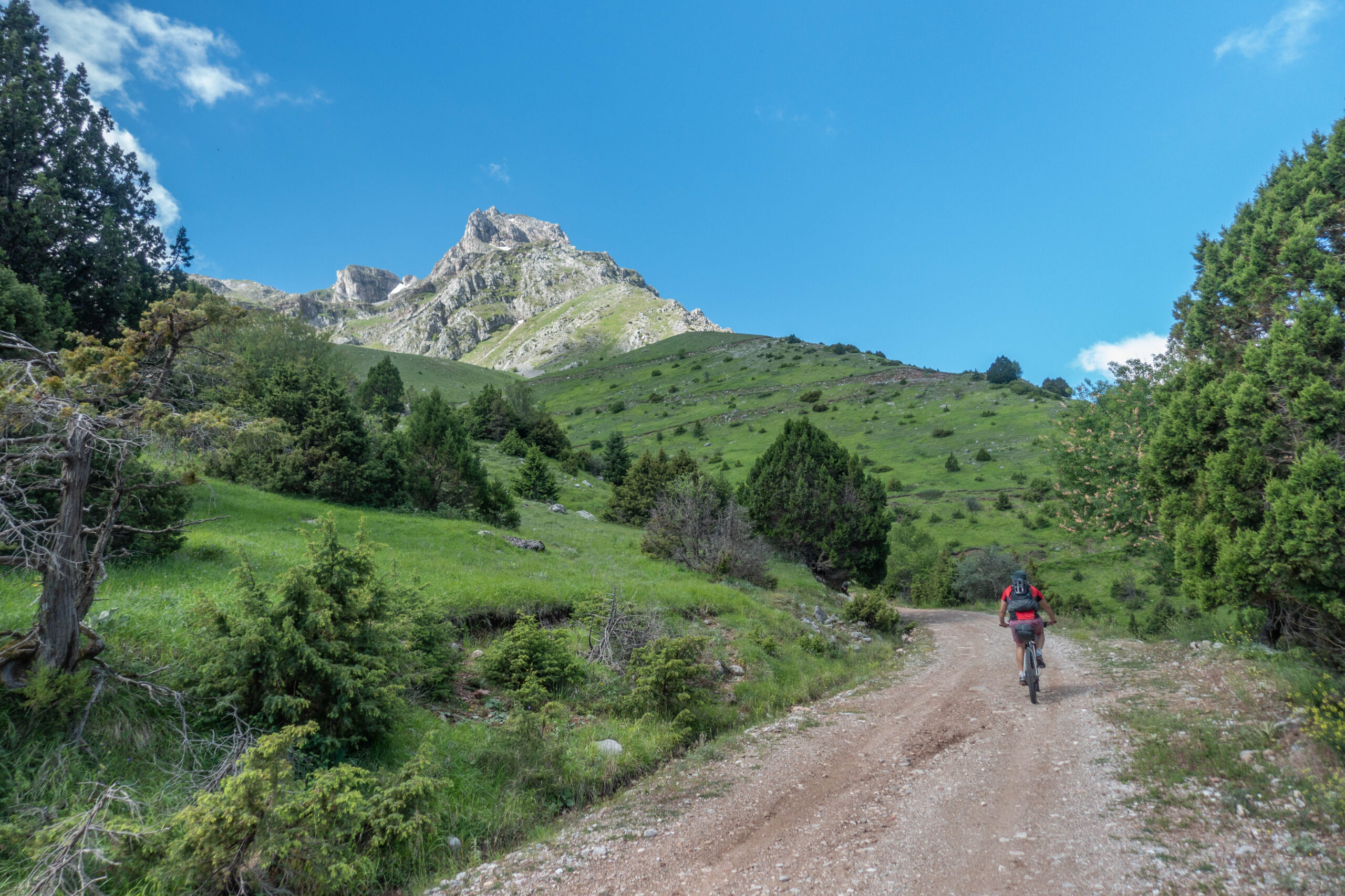
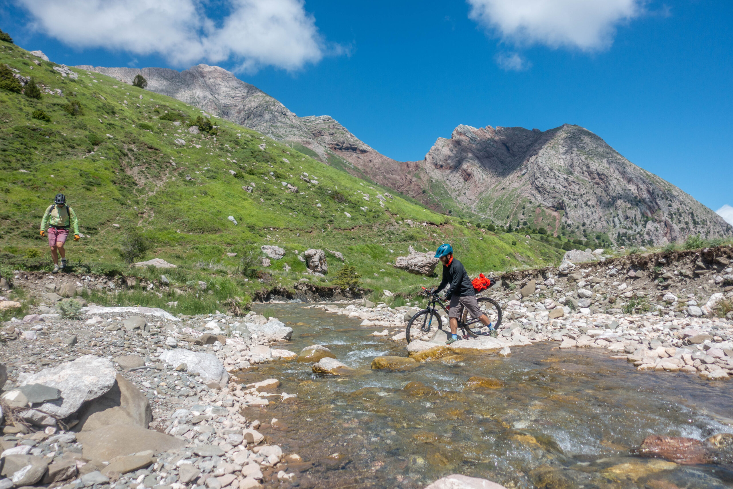
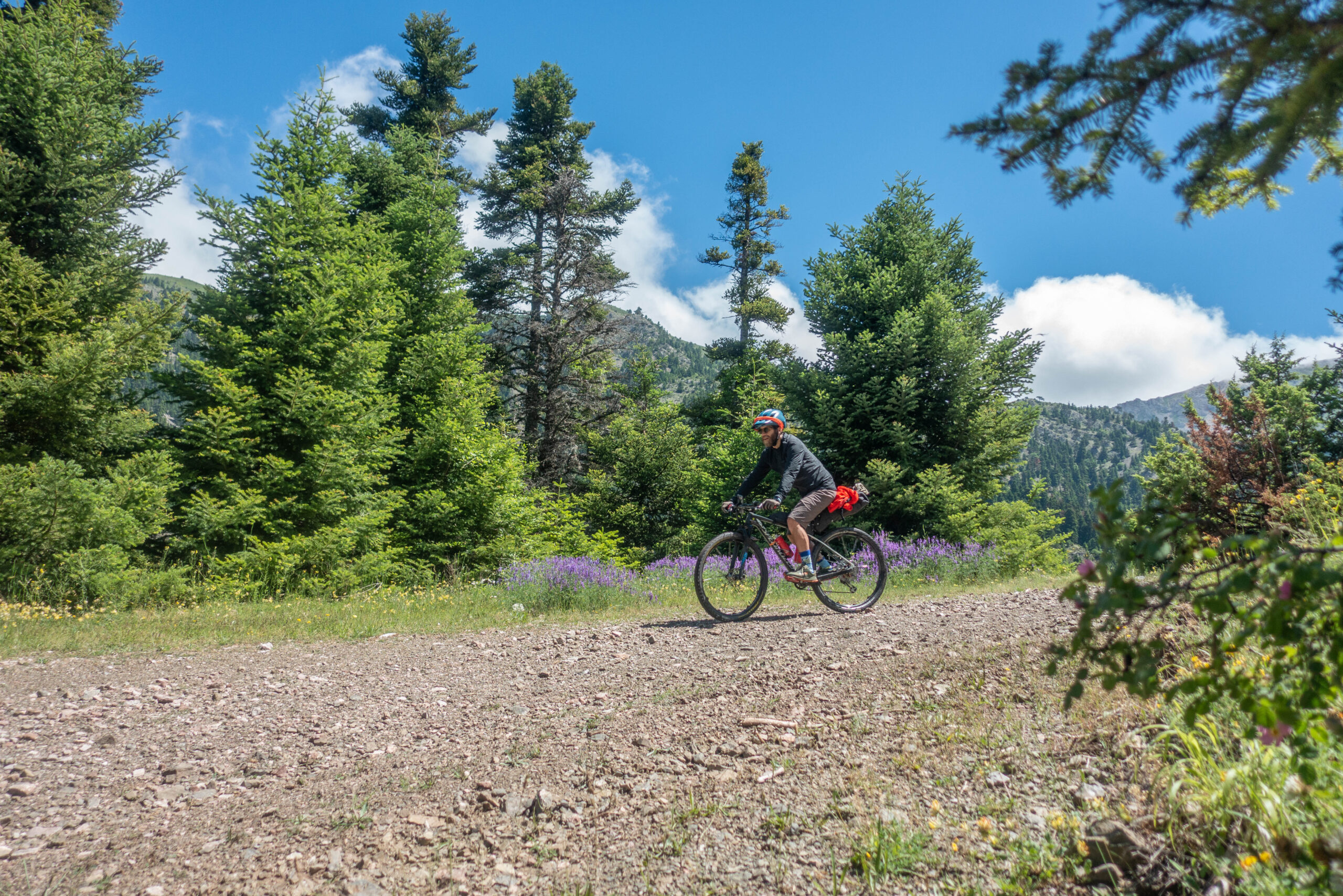
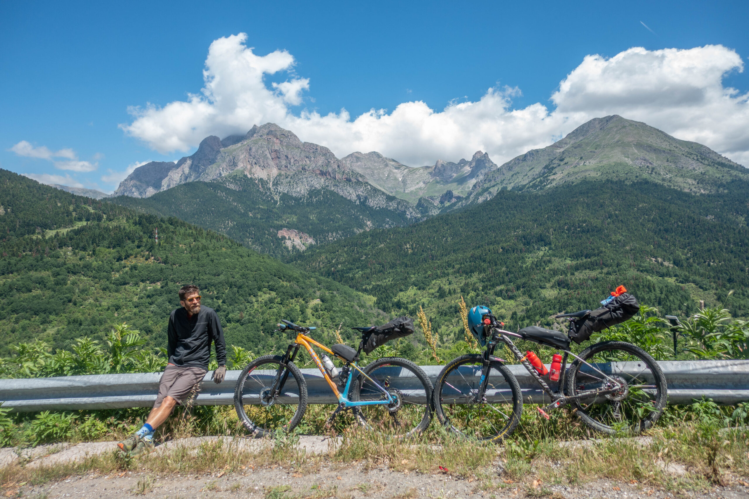
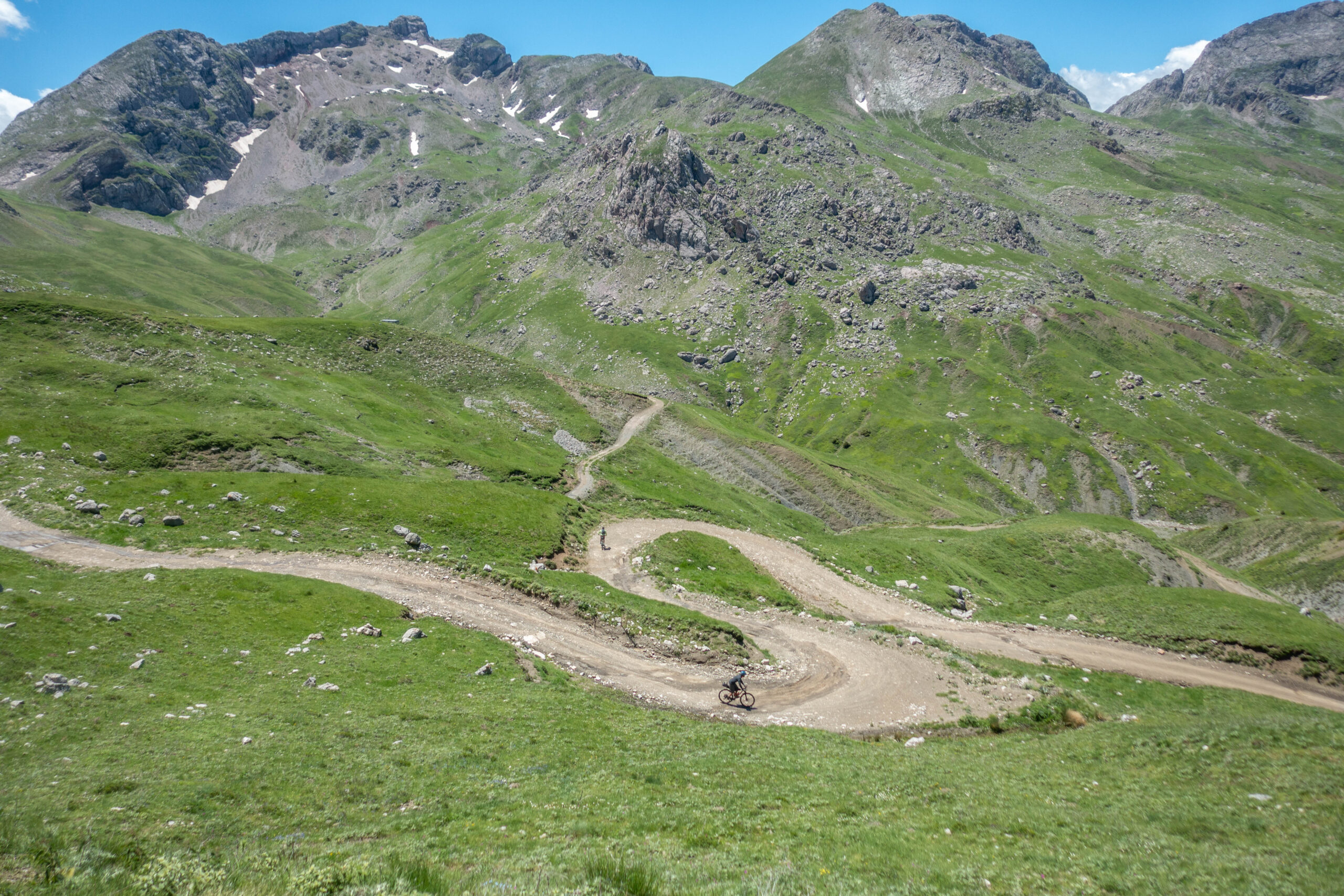
Vardoussia is arguably the finest bikepacking destination in Central Greece. This two-day route traverses a dramatic mountain landscape of jagged summits, alpine pastures, forest roads, secluded valleys, and remote villages deep in the heart of Roumeli. With challenging climbs, long rewarding descents, and some of the most spectacular scenery in mainland Greece, it offers an unforgettable mountain biking experience.
INTRODUCTION
If there is one mountain range in Central Greece made for bikepacking, it is Vardoussia. This two-day route winds through dramatic peaks, alpine meadows, forest roads, mountain streams, and traditional villages in the heart of Roumeli. Expect two rewarding days in the saddle, filled with demanding climbs, exhilarating descents, and landscapes unlike anywhere else in mainland Greece.
There are mountains that welcome you, and there are mountains that make you earn the privilege of knowing them. Vardoussia undoubtedly belongs to the latter category. Rising sharply above the surrounding landscape, its jagged summits, knife-edge ridges, and towering cliffs create one of the wildest mountain environments in Central Greece. Here, nature has ruled for centuries, imposing its own laws on both people and wildlife.
The mountain is deeply rooted in local mythology. According to ancient legends, the dark gorges and hidden caves of Vardoussia were home to the Lamias—supernatural creatures said to lure shepherds and travellers before dragging them into the mountain’s depths. Yet the same traditions also placed the Muses in this landscape, creating a fascinating contrast between creative inspiration and the awe-inspiring power of nature.
In antiquity, the mountain was known as Korax, a name still preserved by its highest summit. The name likely referred to the birds of prey that dominated the skies above the range, as well as the mountain’s commanding presence over the passes and valleys of mountainous Roumeli.
For centuries, Vardoussia served as a refuge and a symbol of freedom. During Ottoman rule, its remote slopes sheltered klephts and armatoloi—mountain fighters who resisted imperial authority. The trails now travelled by hikers and cyclists once carried messengers, rebels, and outlaws who knew that safety could often be found high in the mountains. The same landscape later became a stronghold of the Greek Resistance during World War II, witnessing fierce battles throughout the German occupation.
Despite its rugged appearance, Vardoussia hosts an exceptionally rich natural environment. Among its more than forty peaks rising above 2,000 metres and its vast alpine meadows, over 1,200 plant species have been recorded. Around 110 are endemic to Greece, while four are found nowhere else on Earth but Vardoussia. New discoveries continue to emerge every year, as large parts of the mountain remain only lightly explored.
The steep slopes provide nesting grounds for some of Greece’s most impressive birds of prey, including Golden Eagles, Short-toed Snake Eagles, Honey Buzzards, and Bonelli’s Eagles. Until only a few decades ago, Vardoussia was also one of the last mainland strongholds of the Bearded Vulture, a spectacular species that now survives in Greece only on Crete.
Among the mammals that inhabit the range are roe deer, wolves, wild boar, otters, and numerous smaller species. The undisputed emblem of Vardoussia’s wildlife, however, is the Balkan chamois. Its presence here marks the southernmost limit of the species’ European distribution.
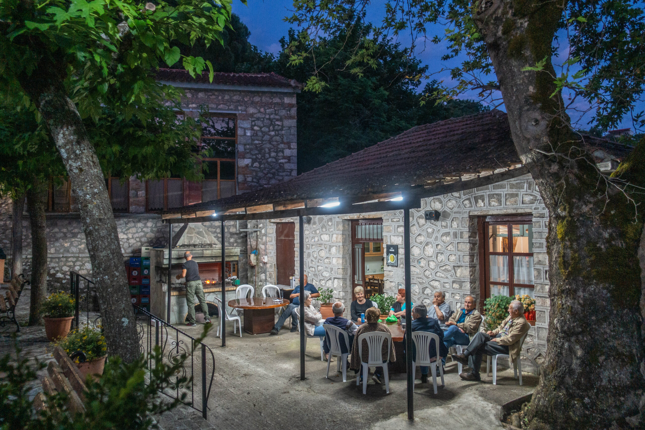
Yet as wild and intimidating as the mountain may appear, the people who live around it are remarkably warm and welcoming. In the villages of Vardoussia—particularly on its western slopes—the traditional hospitality of Roumeli remains very much alive. Locals who still live close to the land and their livestock, much as generations before them did, are always ready to share stories, knowledge, and whatever they have to offer.
Perhaps that is Vardoussia’s greatest charm: the striking contrast between untamed wilderness and genuine human warmth. A mountain fierce in appearance, yet deeply hospitable at heart.
ROUTE DESCRIPTION
Bikepacking is mountain biking in its purest form, and Vardoussia is undoubtedly one of the finest places in Central Greece to experience it.
The route starts in the village of Athanasios Diakos, where spending the night before departure is highly recommended to avoid a long drive on the morning of the ride. The village offers accommodation options for every budget, as well as several “welcoming” chapels, both inside and outside the settlement, for those who prefer a more minimalist overnight experience.
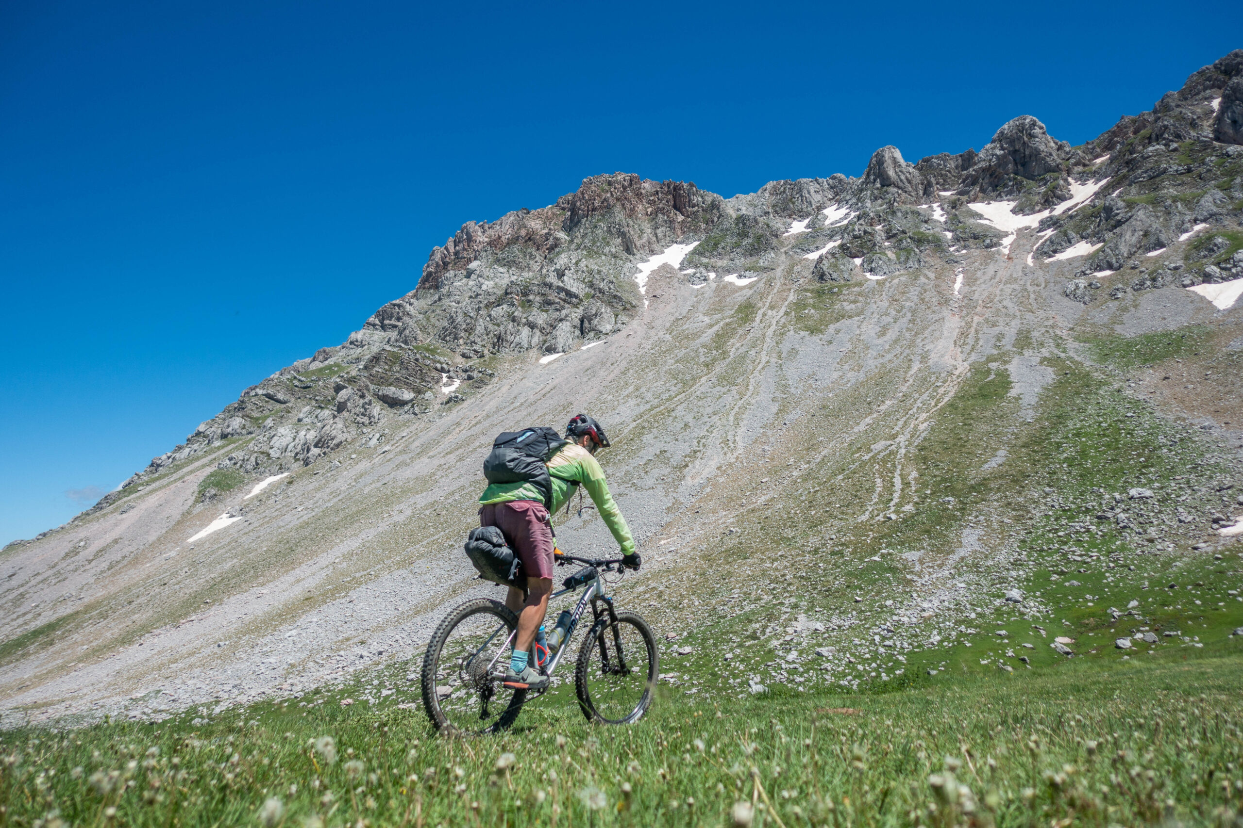
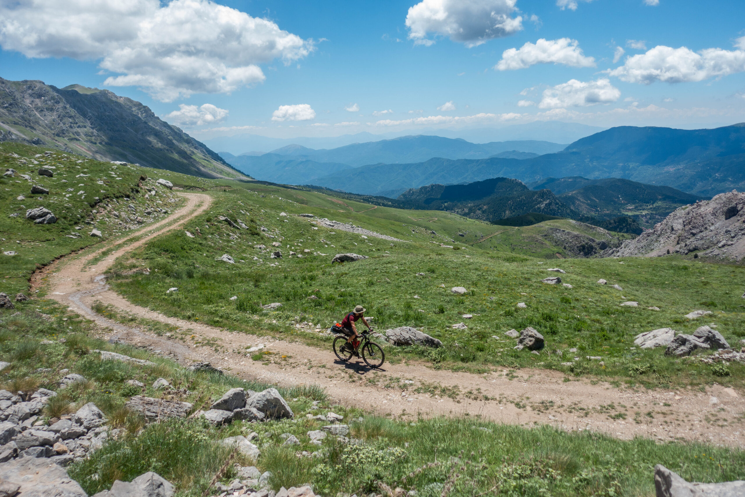
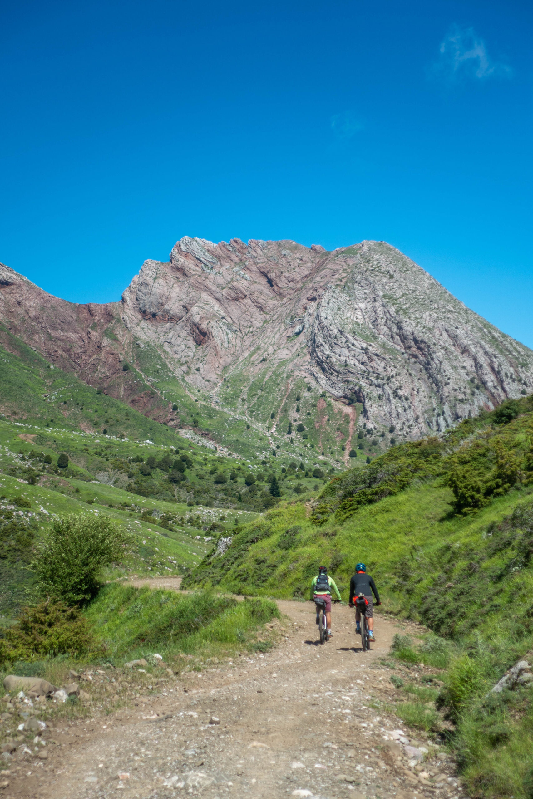
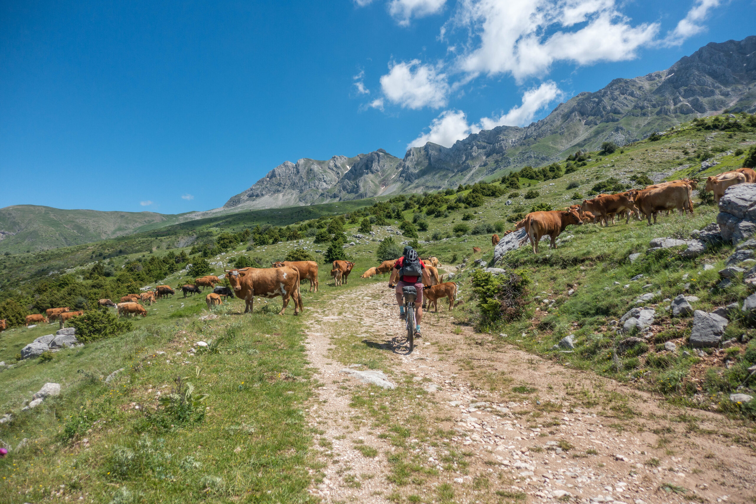
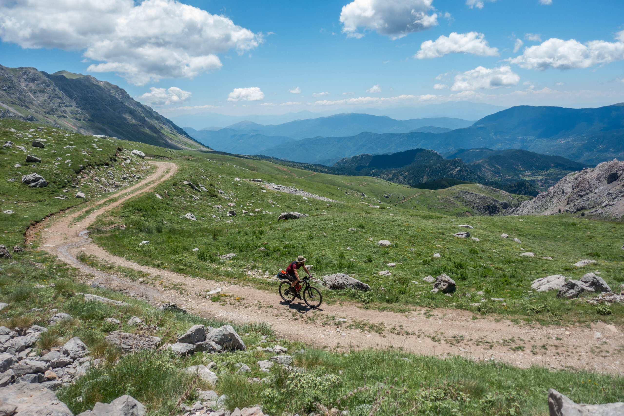
Day one begins with a steady 10-kilometre climb on a well-maintained dirt road leading to the Mousouniotika Meadows, passing beneath the imposing peaks of Skorda and Gioni to Plai. The route then crosses active grazing areas where livestock guardian dogs can be particularly protective. For this reason, it is best ridden early in the morning, when shepherds are usually present at their camps.
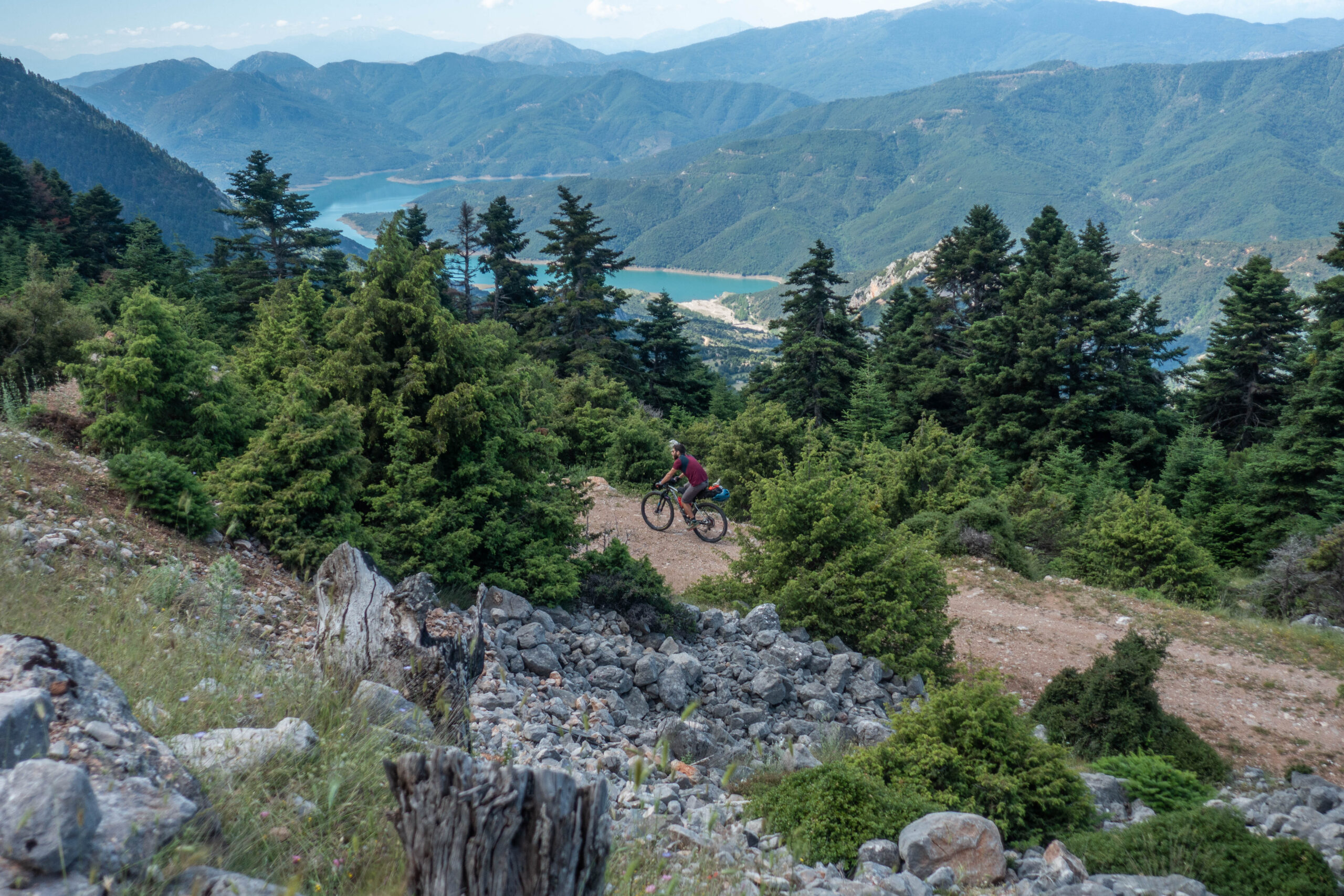
What follows is a spectacular 17-kilometre descent skirting the northern side of Vardoussia’s most impressive summits. One after another, the peaks of Gidovouni, Pyramida, Pano Psilo, Plaka, and Kato Psilo unfold before you along a remote mountain road that sees very few visitors.
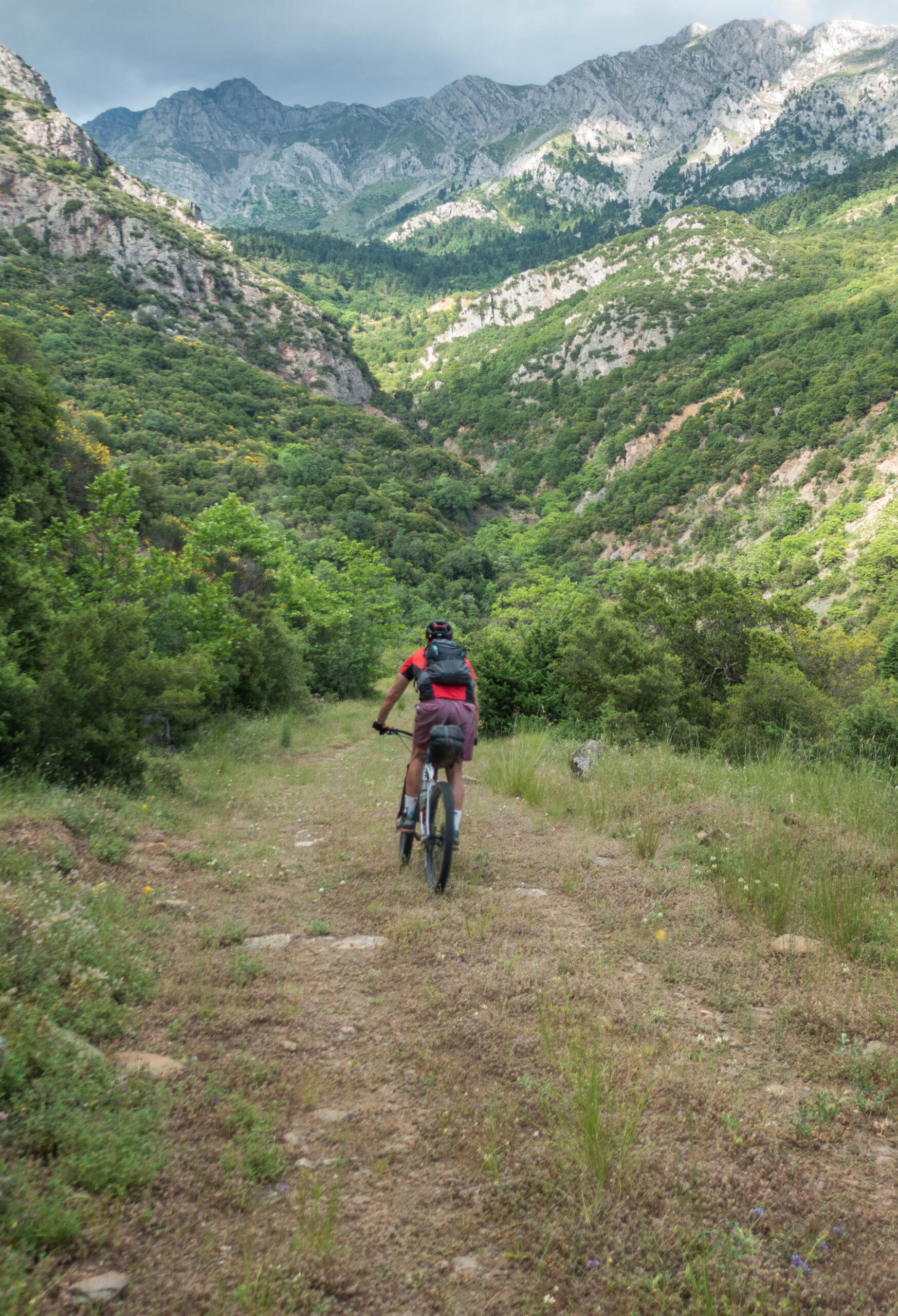
Crossing onto the western side of the range, the route passes through the villages of Artotina, Dichori, and Dafnona via forest roads and a constant sequence of rolling climbs and descents. The day concludes with an epic downhill run to the village of Diakopi, accompanied by uninterrupted views over Lake Mornos, where the recommended overnight stop awaits.
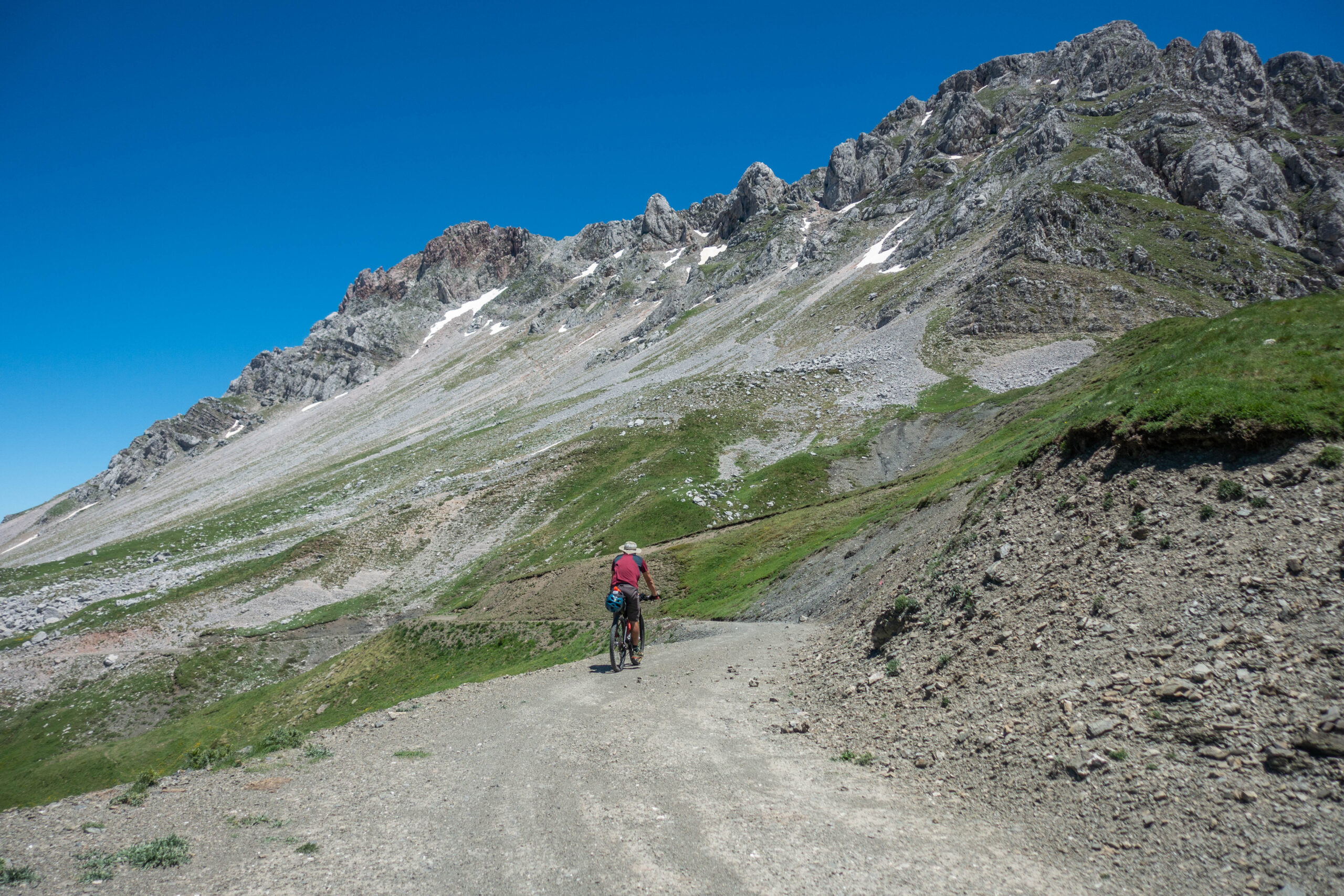
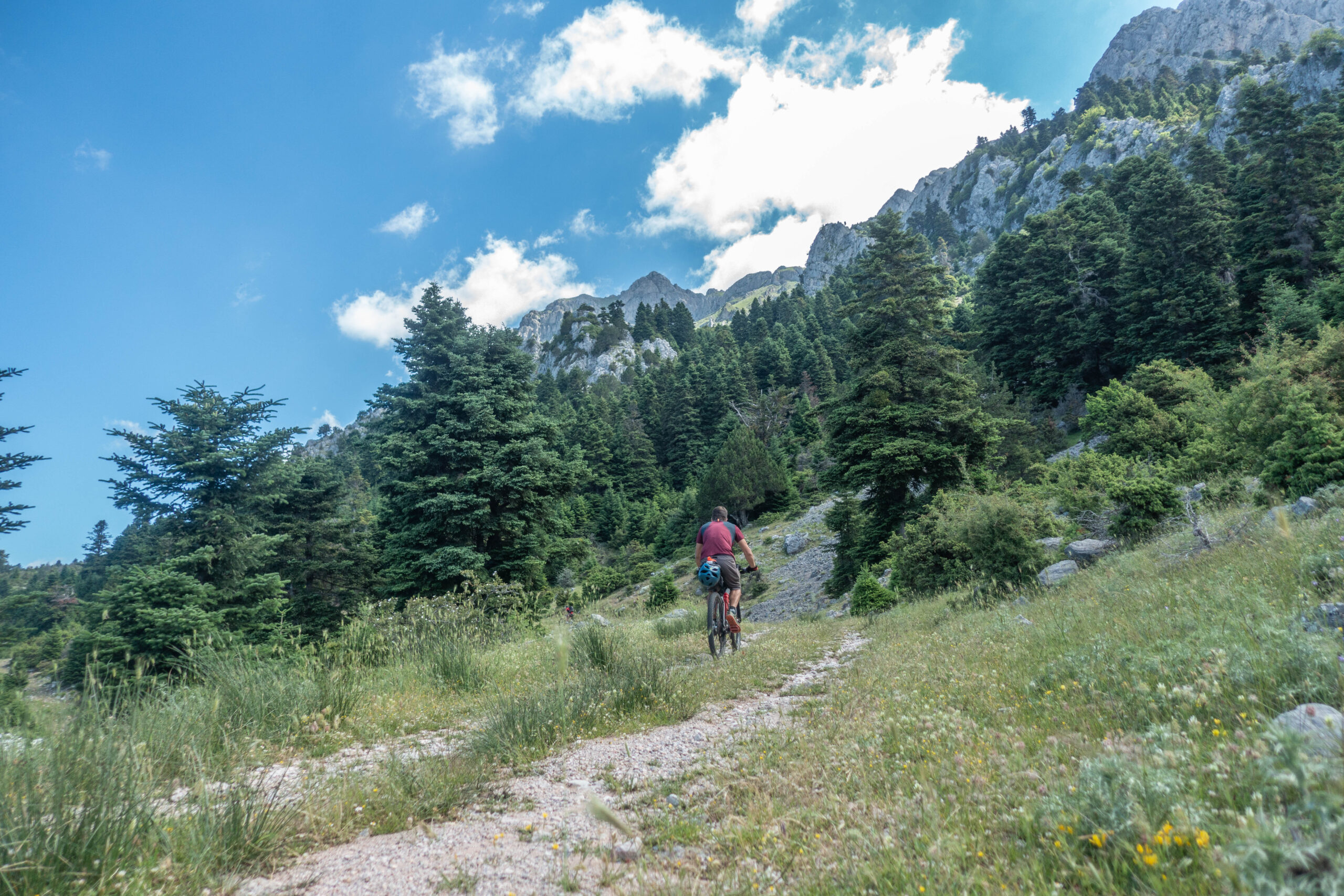
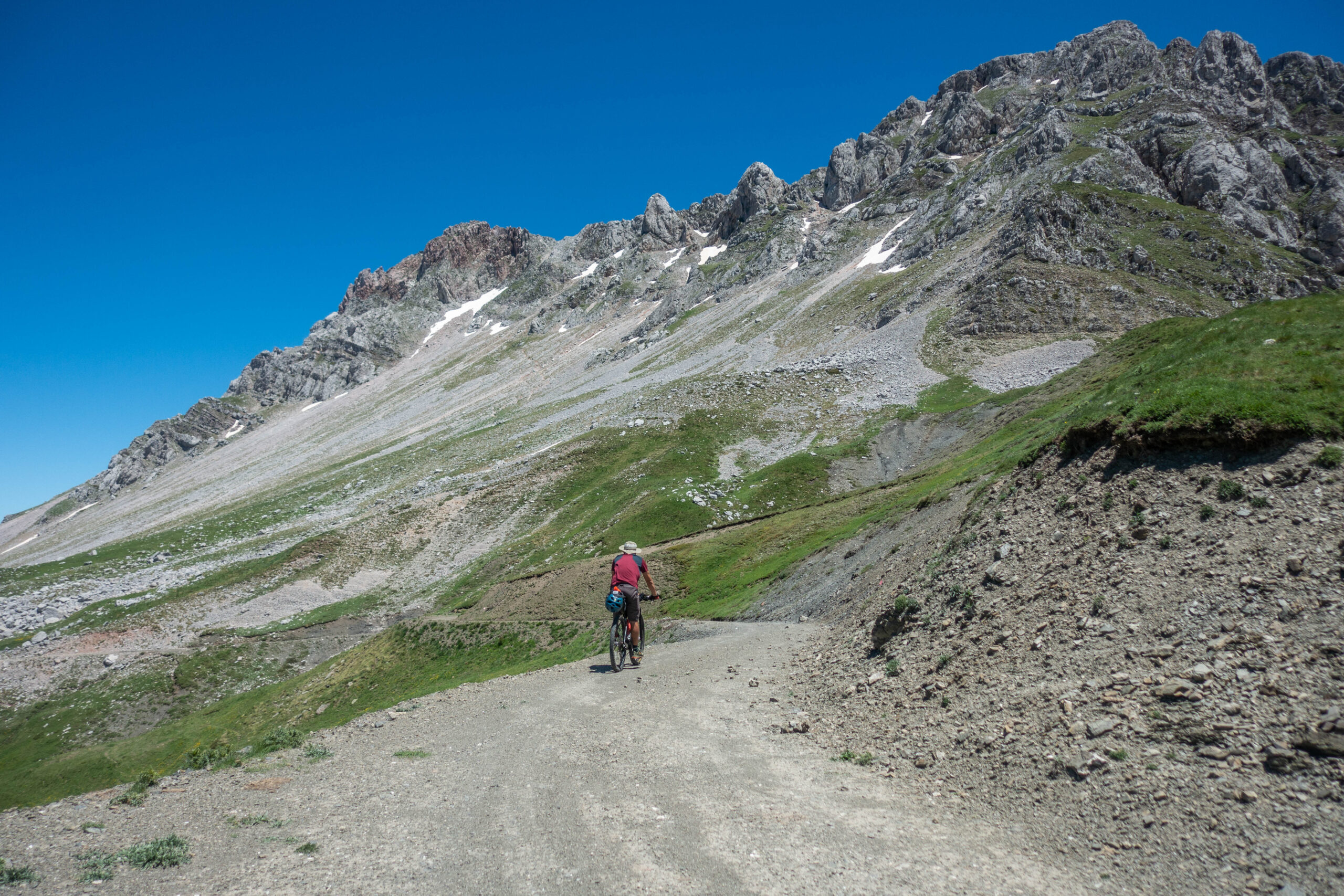
Day two could easily be described as “one long climb followed by one long descent.” In reality, it is far more rewarding than that. The opening 18 kilometres gain nearly 1,400 metres of elevation and offer little opportunity for recovery. Throughout the ascent, riders travel beneath the dramatic eastern peaks of Vardoussia—Korakia, Ornio, Kokkinias, Neraidotsoumba, and Korakas—which dominate the skyline and, when ridden in the morning, provide welcome shade along much of the climb.
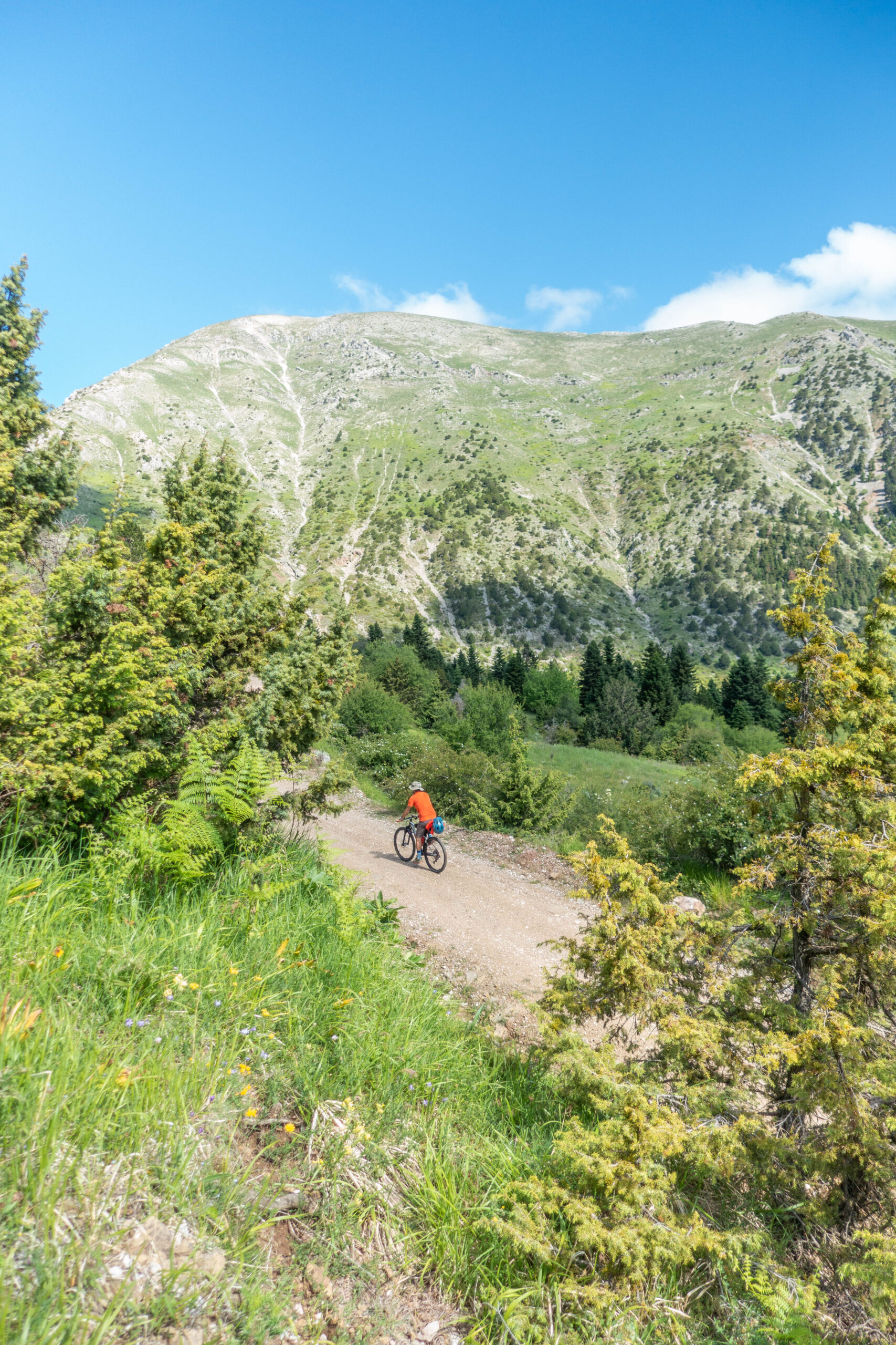
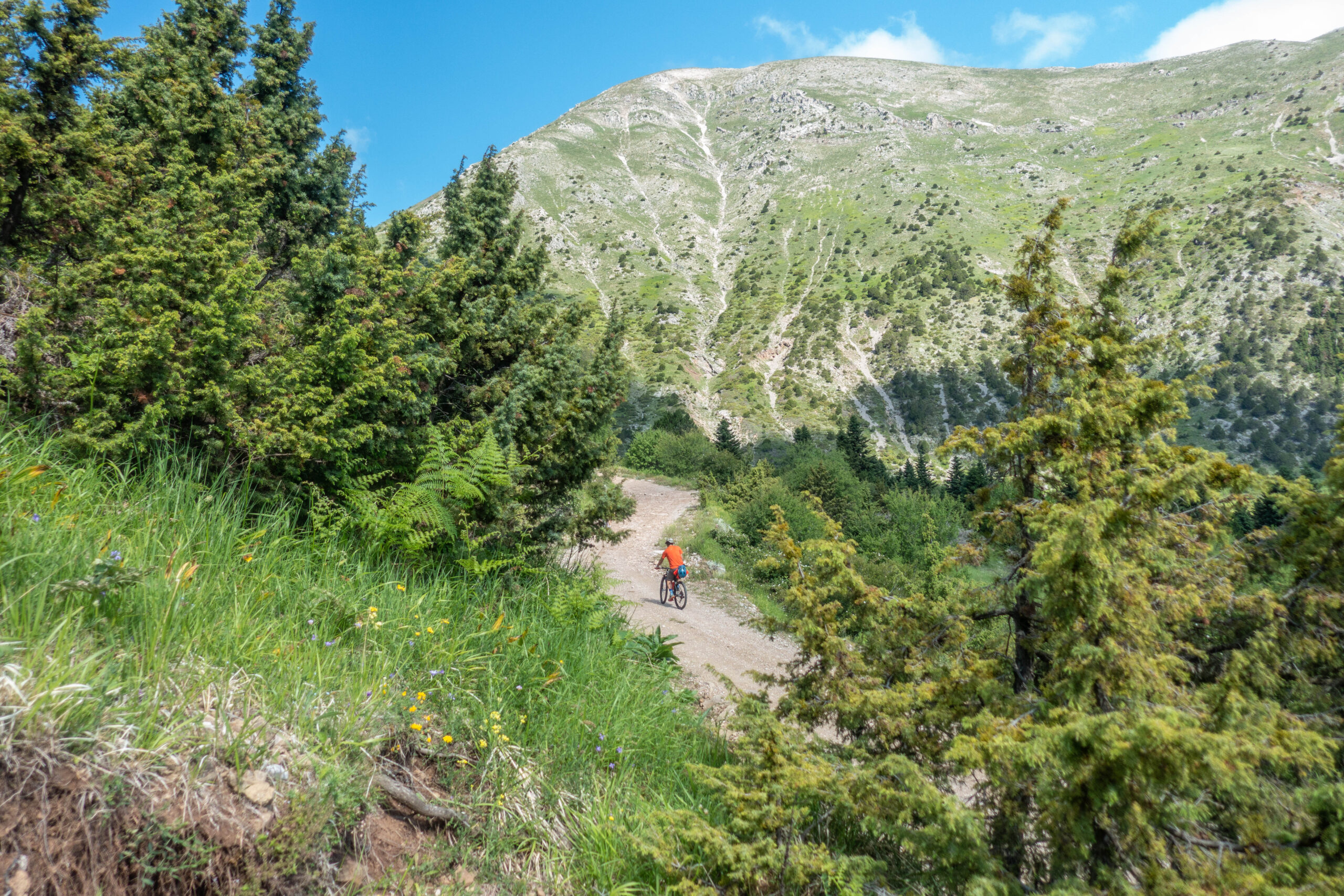
The reward comes in the form of a glorious final descent: 13 kilometres and almost 1,000 metres of elevation loss, making for one of the most enjoyable sections of the entire route. And, of course, there is always the promise of grilled lamb chops and ice-cold beers waiting at the finish.
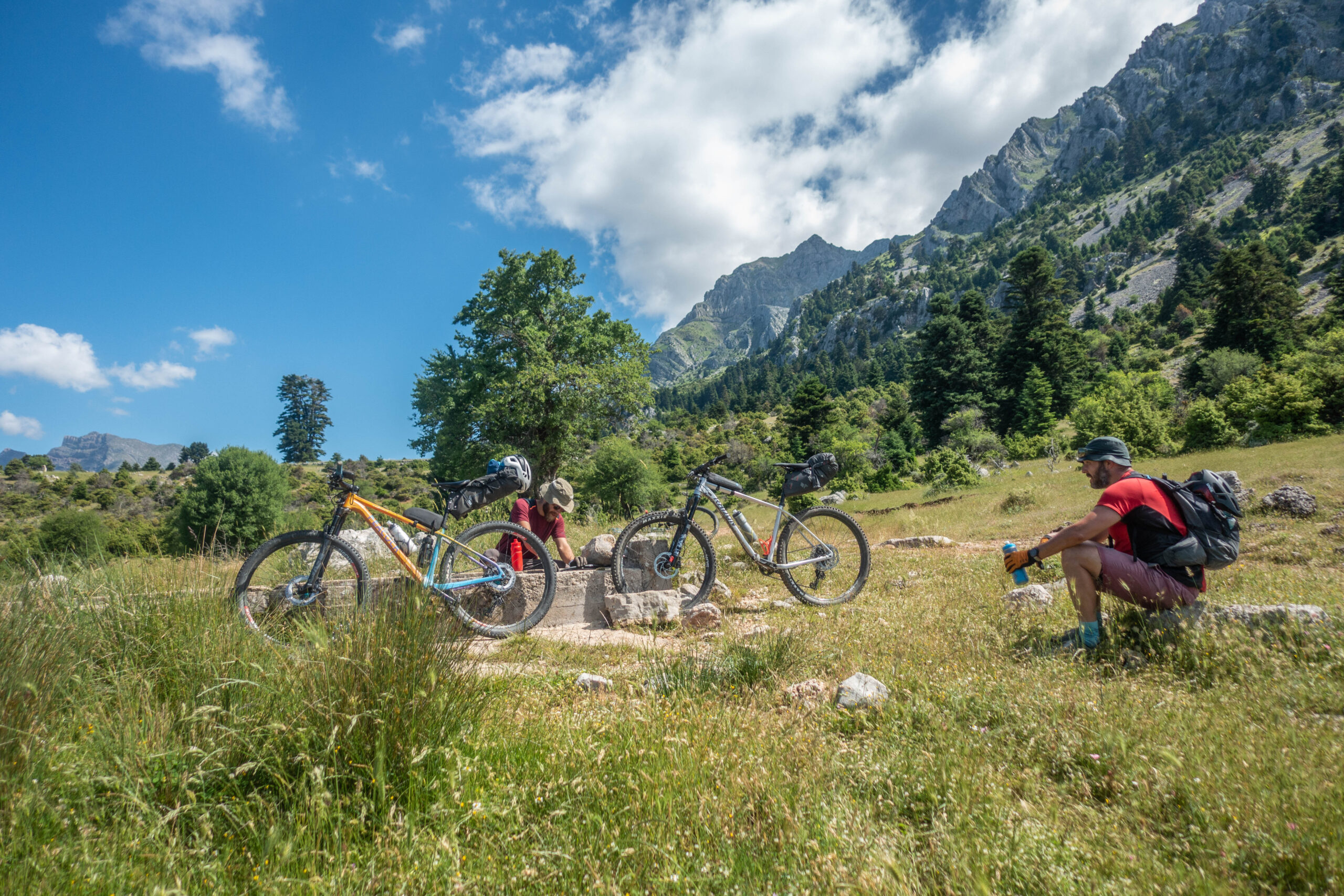
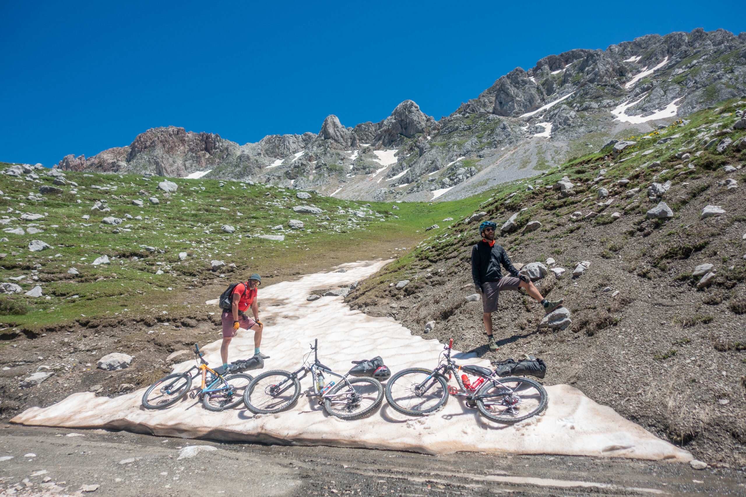
Technically, the route presents few significant challenges, but it does require a high level of fitness. The ideal time to ride it is during May and June, when most of the snow has melted and springs flow abundantly throughout the mountains, reducing the amount of water that needs to be carried.
88.8 km.
ROAD
DIRTROAD
BAD DIRTROAD
PATH
88.8 km.
ROAD
DIRTROAD
BAD DIRTROAD
PATH
ROAD
BAD DIRTROAD
DIRTROAD
PATH
GALLERY
- TIPS
An overnight stay in Athanasios Diakos before starting the route is strongly recommended, allowing riders to begin fresh rather than after a long drive. The village offers accommodation options for every preference and budget, while those seeking a simpler experience will find several unlocked chapels that traditionally offer shelter to travellers.
Notable examples include the small chapel located approximately one kilometre before the village at the junction leading to the Vardoussia Hotel, as well as the large church of Agia Marina near the village square.
For the overnight stop during the route, riders wishing to avoid carrying camping equipment can stay at the community guesthouse in Diakopi, located next to the village square (Mr. Thanasis, tel. +30 698 418 7798, approximately €15 per person).
For those who prefer camping, there are numerous suitable spots both within the villages along the route and in the surrounding forests, often close to natural springs.
Traditional village cafés operate year-round in all settlements along the route. To avoid disappointment, it is advisable to contact the owners in advance so they can prepare a meal for your arrival.
Mrs. Asimina, the owner and driving force behind the café in Diakopi, serves meat from her own livestock and, with prior notice, can prepare excellent homemade pies—even for breakfast. This makes it possible to travel light and carry little more than snacks for the ride itself (tel. +30 690 648 7568).
Back in Athanasios Diakos, the village square is home to one of the finest tavernas in the mountains of Roumeli: Meterizi. Open throughout the year, it serves outstanding grilled meats and traditional home-cooked dishes. If there are two specialties worth seeking out, they are the lamb leg fillet and the exceptional handmade country-style pies.
ROAD BOOK
| Distance between points | Total distance | Description | |
|---|---|---|---|
| 0.0 | 0.0 |  |
Start from the main square of Athanasios Diakos village. Follow the main road through the village and turn right (north). |
| 1.7 | 1.7 |  |
At the first dirt road, turn left towards Profitis Ilias. |
| 8.3 | 10.0 |  |
At the first junction near the livestock pens, continue straight. |
| 0.4 | 10.4 |  |
At the fork, keep right. (The left fork leads to the mountain refuges.) |
| 1.4 | 11.8 |  |
After the concrete building, turn right. |
| 1.0 | 12.8 |  |
Before the livestock pens, turn diagonally left, heading back. |
| 1.3 | 14.1 | |
At the next fork, keep right. |
| 4.6 | 18.7 |  |
Ignore the road branching diagonally right and back. |
| 5.9 | 24.6 | |
As the first village (Artotina) comes into view, ignore the road branching diagonally right and back. |
| 1.6 | 26.2 | |
At the fork before the village, keep right downhill |
| 2.5 | 26.7 | |
Shortly afterwards, ignore the road branching diagonally right and back. |
| 1.8 | 28.5 | |
At the top of the climb, keep right at the fork. Shortly afterwards, turn right for Artotina; the route continues to the left. |
| 2.5 | 31.0 |  |
At the first fork after Artotina, bear left uphill. |
| 1.6 | 32.6 | |
Ignore the road branching diagonally left and back, then immediately keep left at the fork. |
| 1.8 | 34.4 | |
At the top of the climb, keep right at the fork. |
| 1.9 | 36.3 | |
At the highest point of the road, turn right |
| 2.6 | 38.9 |  |
At the bottom of the descent, directly above Dichori village, turn left towards Dafnos. |
| 5.1 | 44.0 | |
With Dafnos village visible ahead, keep right downhill at the fork. |
| 2.2 | 46.2 |  |
In the centre of Dafnos village, turn right onto the paved road at the junction. |
| 1.5 | 47.7 | |
Leave the village following the paved road. At the top of the climb, just after the chapel, turn left onto a passable dirt road. |
| 1.3 | 49.0 |  |
At the first junction, take the diagonal right-back track. |
| 5.6 | 55.6 | |
At the only fork on the descent, keep left towards the lake. |
| 1.4 | 57.0 | |
Just before the village, keep left onto the dirt road. (The concrete road to the right is a dead end.) |
| 0.1 | 57.1 | |
Shortly afterwards, at the next fork, turn right onto the concrete road. |
| 0.8 | 57.9 | |
At the exit of Diakopti village, keep left at the fork towards the cemetery. |
| 0.3 | 58.2 | |
At the top of the first climb, keep right at the fork, remaining on the paved road. |
| 0.3 | 58.5 | |
At the fork before the church, keep left, staying on the paved road. |
| 0.3 | 58.8 | |
After the cemeteries, keep right at the fork towards Panagia. |
| 1.2 | 60.0 | |
At the fork after the water trough, keep left. |
| 0.2 | 60.2 | |
After the livestock pen, keep left at the fork, slightly uphill. |
| 1.1 | 61.3 |  |
Ignore the secondary dirt road on the left at the hairpin bend. |
| 0.3 | 61.6 | |
At the fork, keep right. |
| 5.4 | 67.0 | |
At the fork after the springs, keep right. |
| 1.1 | 68.1 | |
At the next fork, keep right uphill. |
| 22.1 | 70.2 | |
At the following fork, keep right, climbing gently. |
| 8.3 | 78.5 | |
After the mountain refuges, at the bottom of the descent, turn right. |
| 0.4 | 79.9 | |
At the crossroads, continue straight ahead. |
| 2.5 | 82.4 | |
At the fork, keep left. |
| 4.6 | 87.0 | |
At the end of the dirt road, turn right onto the paved road and follow it back to the starting point. |