
Route Analysis

This page provides a detailed description of how the routes are planned and recorded, along with an analysis of their main characteristics. Please read the following sections carefully before selecting a route.
ROUTE PLANNING
Planning begins with a study of the area, identifying points of interest we want to visit. Using maps and digital tools, we design routes that connect as many points of interest as possible, primarily following dirt roads and trails.
All routes share a common starting and ending point, making them circular, and minimize travel on paved roads. For routes including trails, we generally choose the direction to go downhill whenever possible. The same applies to steep or poorly maintained dirt roads. Considering distance, elevation gain, and terrain type, we estimate the required time and look for the optimal opportunity to complete the route.


ROUTE RECORDING
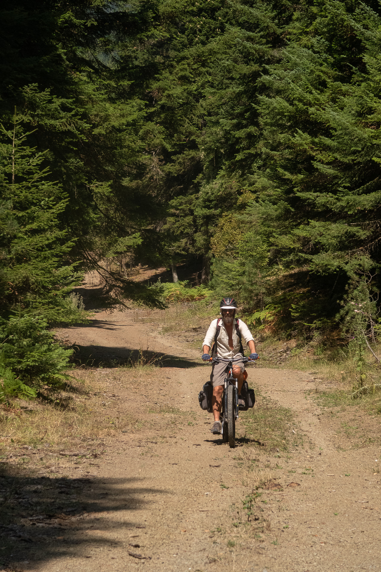
We follow the GPS track of the planned route while remaining open to challenges along the way. Many roads and trails are unmapped and may lead to hidden gems or, occasionally, dead ends requiring us to carry our bikes on our backs!
The entire route is recorded using GPS devices, and data is processed with specialized geographic software. During the ride, we document all important elements (intersections, direction changes, terrain features) and the precise locations of points of interest, water sources, and anything else useful for future riders. Routes are often repeated and refined to ensure the best experience for those who follow.
All collected data is analyzed and presented to users on the website.
ROUTE CHARACTERISTICS
Distance
Total distance from start to finish, excluding detours or route changes. Minor discrepancies may exist between different devices (watches, GPS units, smartphones).
Duration
Total Elevation Gain
Recommended Season
Fitness Level
Technical Difficulty
Overall Difficulty
Terrain Breakdown (%)
- Paved road
- Good-condition dirt road (accessible by a conventional 4-wheel vehicle)
- Poor-condition dirt road (not accessible by a conventional 4-wheel vehicle)
- Trail
Conditions may change after heavy weather, natural events, or construction. High-traffic trails can become more challenging over time.
Elevation Profile
HOW OVERALL ROUTE DIFFICULTY IS DETERMINED
Factors Considered for Rating
| Distance | Rating |
|---|---|
| < 11 km | 1 |
| 11 – 25 km | 2 |
| 26 – 40 km | 3 |
| > 40 km | 4 |
| Elevation Gain | Rating |
| < 300 m | 1 |
| 301 – 600 m | 2 |
| 601 – 1000 m | 3 |
| > 1000 m | 4 |
| Terrain Type | Rating |
| Paved or good dirt | 1 |
| Poor dirt, not accessible by conventional 4-wheel vehicle | 2 |
| Very poor dirt or trail | 3 |
| Technical Difficulty | Rating |
| Minimal skill | 1 |
| Basic MTB skills, few small obstacles | 2 |
| Intermediate skills, medium slopes, rough surface, avoid many obstacles | 3 |
| Advanced skills, many obstacles, steep slopes, dangerous trail sections | 4 |
Overall Difficulty Categories
| Cumulative Score | Difficulty |
|---|---|
| 4-5 | Easy |
| 6-8 | Moderate |
| 9-12 | Hard |
| 13-15 | Very Hard |
Easy routes: beginners and parents with young children.
Moderate routes: average fitness, no special trail skills required.
Hard/Very Hard routes: high fitness and MTB experience needed.
ROUTE SELECTION
Each route page includes a detailed description of the area, road and trail conditions, historical and mythological highlights, vegetation, and wildlife. A concise route summary lists start points, main points of interest, terrain type, and a rough elevation profile. Additional data includes overall difficulty, fitness level, technical difficulty, distance, elevation gain, estimated duration, and best season.
When selecting a route, consider all these factors, including weather forecasts and recent conditions. New users are advised to start with easy or moderate routes to become familiar with our rating system.

GPS TRACKS & ROADBOOKS
MTB-Greece provides free GPS tracks and a roadbook for each route.
GPS tracks (GPX format) can be downloaded and loaded into any smartphone app or navigation device.
Roadbooks (PDF) can be stored on a smartphone or printed as a backup in case of GPS failure, signal loss, or battery issues.