
TILFOUSIO MOUNTAIN
KILOMETERS
DURATION
ELEVATION
PROPOSED SEASON
DIFFICULTY
PHYSICAL CONDITION
TECHNICAL DIFFICULTY
STARTING POINT
Author:
G. Koutrotsios
Photos:
G. Koutrotsios - A. Leontaritis
The unknown mount Tilfousio
When information and available images of an area are so limited, even our expectations are in vain. The route on Tilfousio Mountain, however, pleasantly surprises not only with its trails, forests, and stunning views, but also with the fact that, just 1.5 hours from the capital, it has remained so well hidden from prying eyes, creating a sense of isolation and carefree freedom akin to the most remote mountains of Greece.
INTRODUCTION
The Tilfousio Mountain, unknown to most, lies between Thebes and Livadeia and is an extension of Mount Helicon. Its name comes from the Tilfousa spring, which, according to myth, produced deadly water. Legend has it that the seer Tiresias, passing through the area, quenched his thirst at the spring and died there, eventually being buried on the spot.
Apollo, who from birth was destined to establish the first oracle revealing the will of his father Zeus to humans, considered the Tilfousa spring the perfect site for the oracle. However, when he announced his plan to Tilfousa, the nymph ruling the area, she dissuaded him and suggested he go under Mount Parnassus, to Krisa. Apollo fell into the trap, and when he began building the oracle, he discovered that the spring was guarded by a serpent that devoured anyone who approached. Realizing the deception, he returned to Tilfousa spring and blocked its flow with massive rocks.
Much more recently, in September 1829, Tilfousio Mountain was the site of the last battle of the Greek War of Independence against the Ottoman Turks. Greek forces under Ypsilantis blocked the Turkish troops’ advance toward Lamia. Yet, despite the mountain’s historical significance and the mythical events associated with it, its fame has remained modest, literally and figuratively overshadowed by neighboring Helicon and Parnassus.
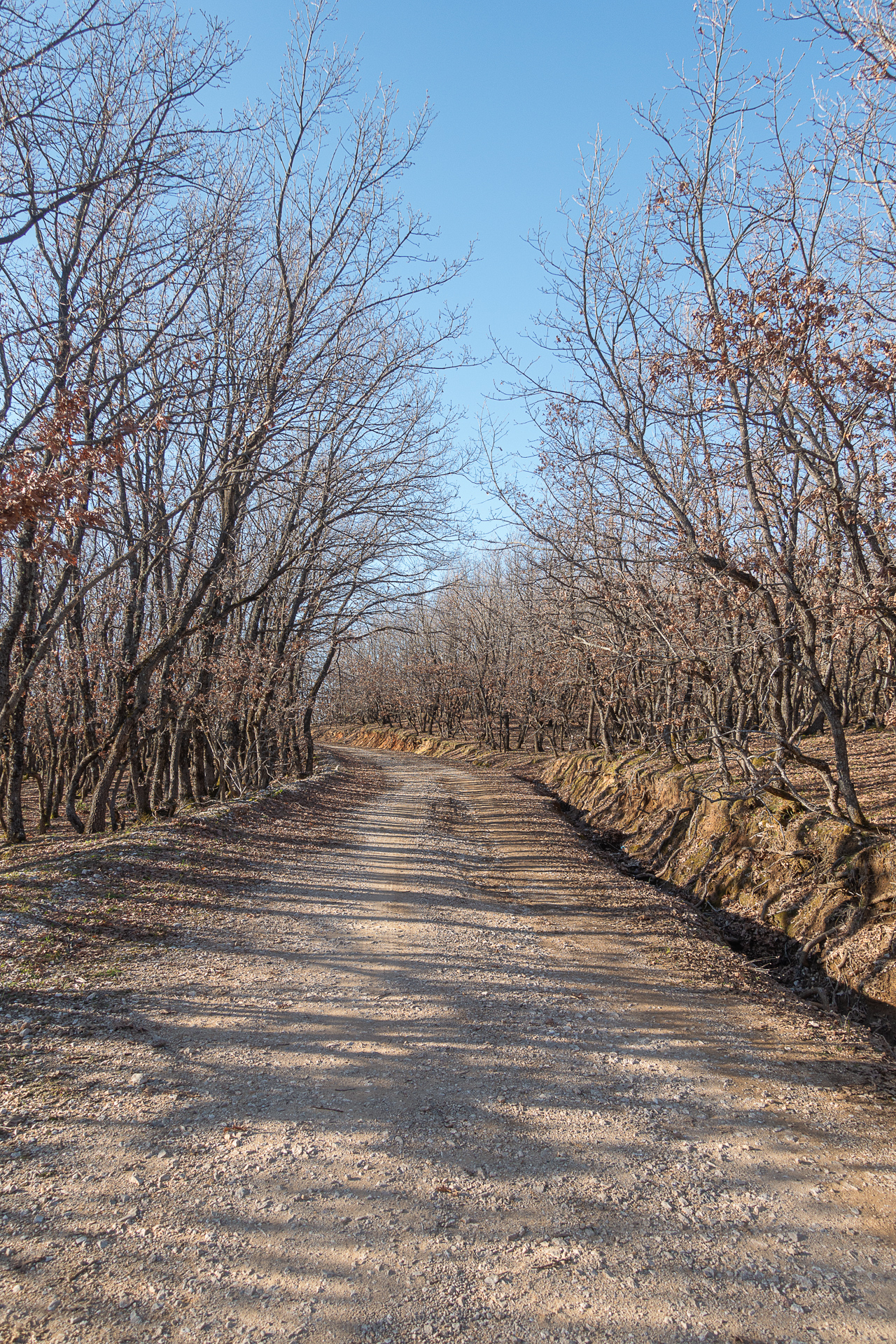
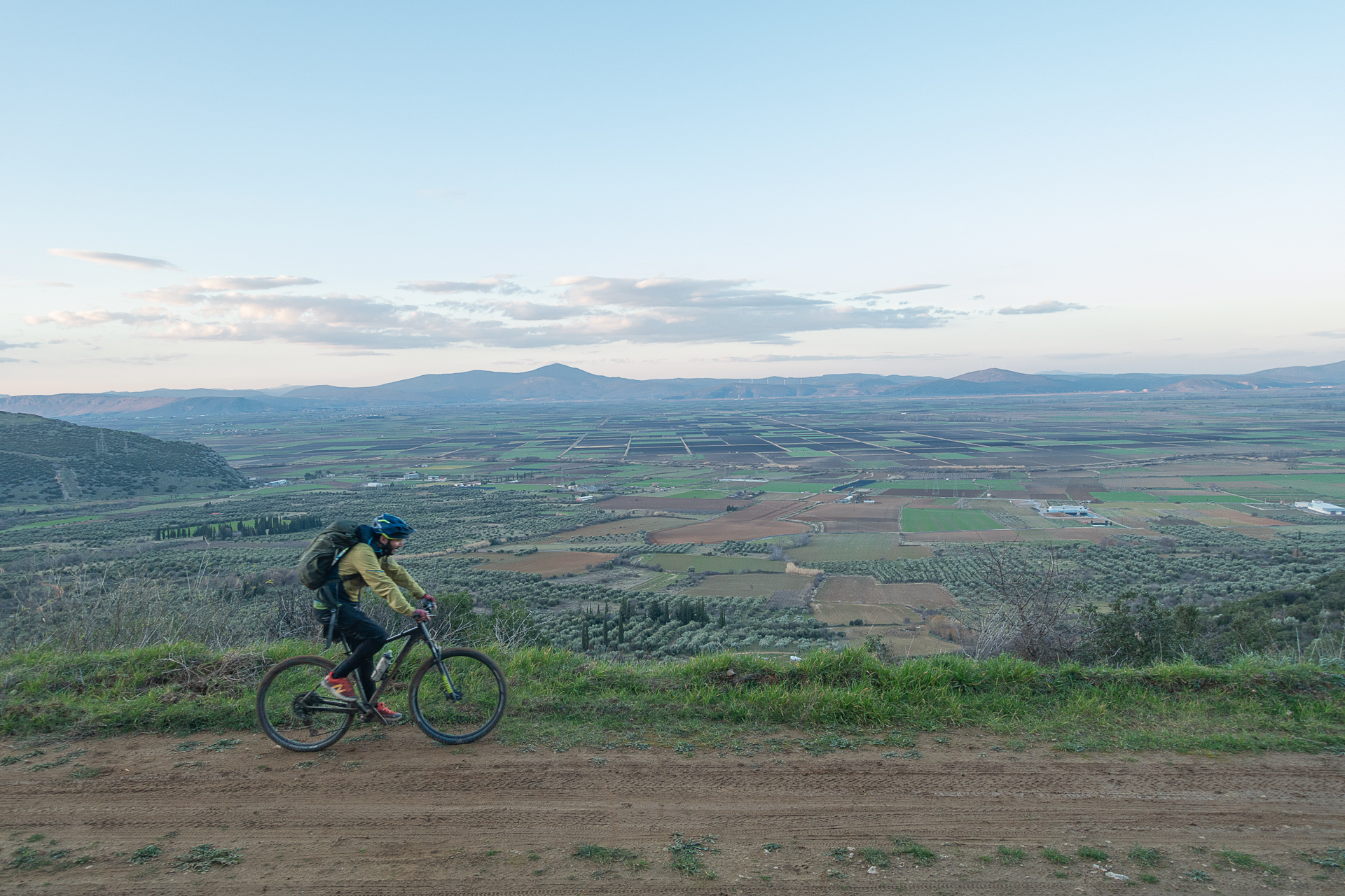
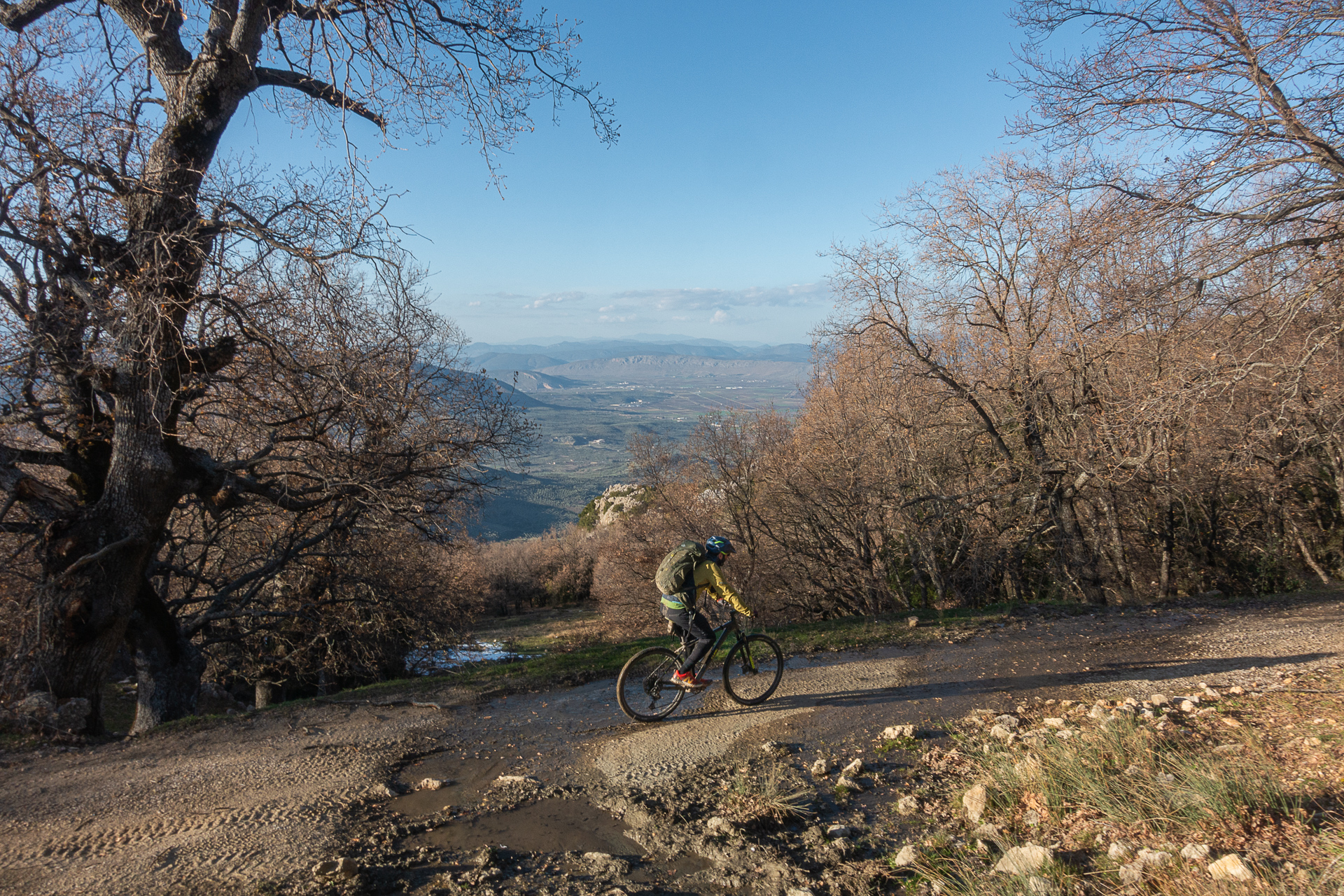
It is worth noting that Tilfousio Mountain and the village of Petra were lakeside until 1931, when the drainage works of Lake Copaïs were completed to combat malaria and provide arable land. Today, from the mountain peaks, one no longer gazes upon the lake waters, but upon the fertile plain and surrounding mountains. The mountain is characterized by an impressive rocky ridge, with steep northern slopes and gently inclined southern slopes covered by extensive deciduous oak forests that color the region beautifully, especially in autumn and winter.
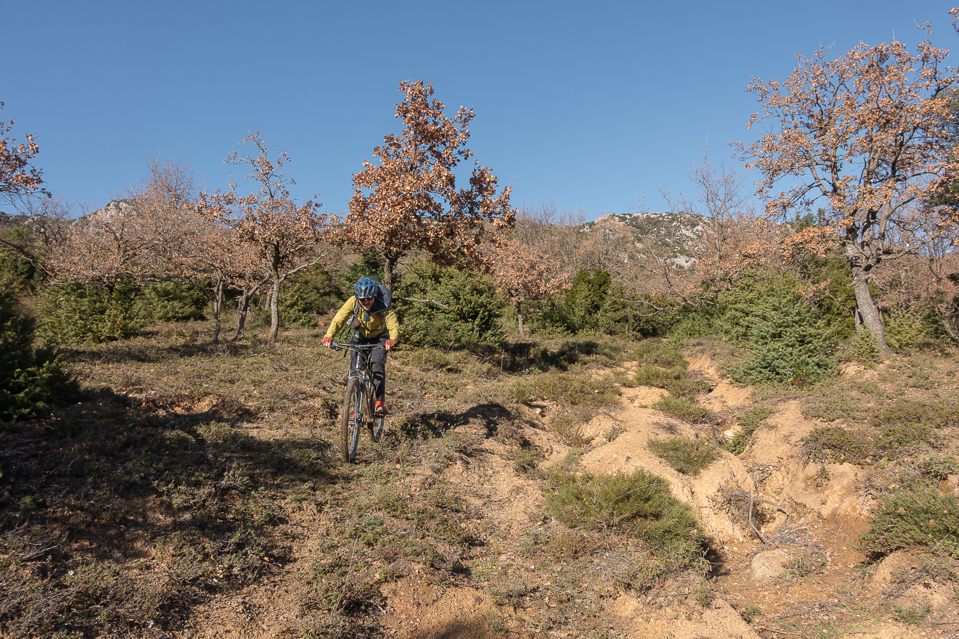
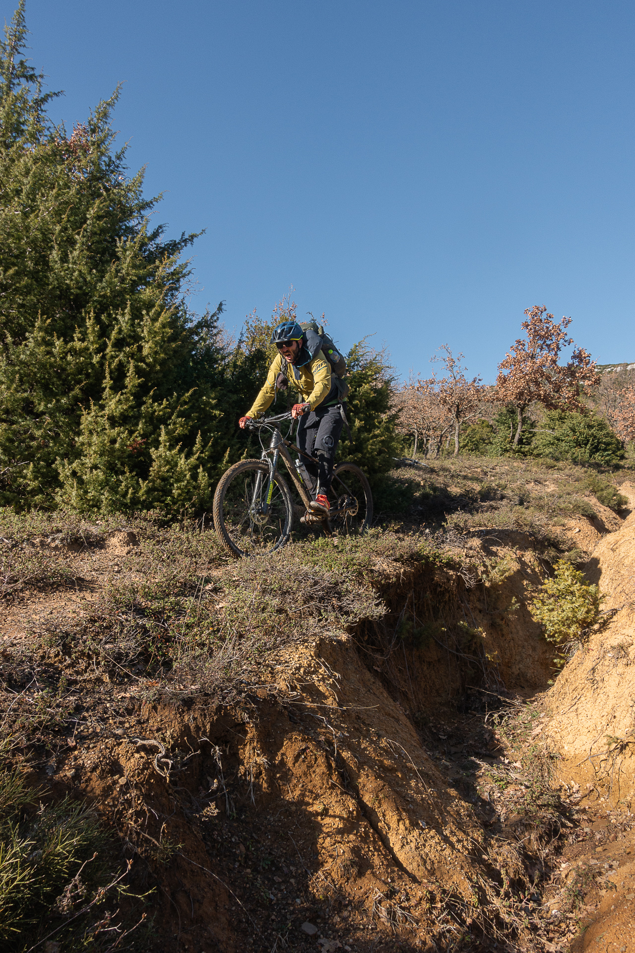
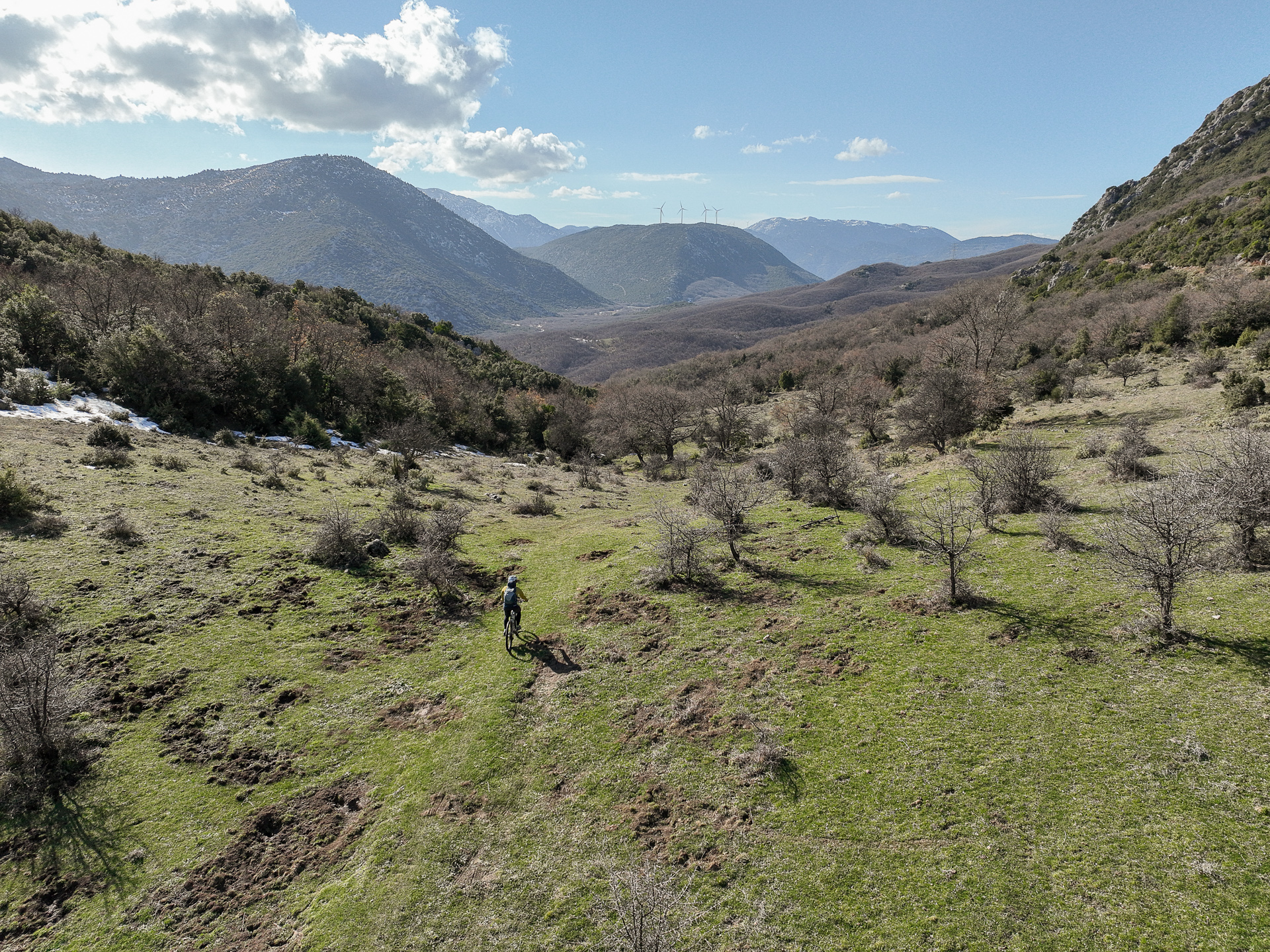
There are few dirt roads, but numerous trails suitable for cycling and ample space to “draw” your own routes on the gentle slopes. In addition, numerous scattered springs and small streams, particularly in winter and spring, reduce the amount of water you need to carry.
ROUTE DESCRIPTION
The route starts at the central square of the village of Petra. It initially climbs 5 km on the newly paved asphalt road to the Monastery of Evangelistria, easily covering the first 300 m of elevation. From there, a network of beautiful, accessible dirt roads with gentle slopes leads to the highest point of the route, just above 800 m.
Here begins the adventure and the most beautiful part of the ride. Before this, a short detour and stop at the saddle above the “doors”—the passage between the southern and northern steep slopes—offers stunning views of Helicon, Lake Copaïs, and the mountains of Euboea.
Leaving the dirt road toward the summit, we enter a small plateau and descend the southern slopes via beautiful trails and neglected, rugged dirt roads, eventually meeting the main but very scenic road (still a dirt road during mapping) connecting the villages of Evangelistria and Koroneia. We follow it for 4.5 km before turning north into a dense oak forest for the last 2 km climb of the route. From here, 14 km remain, mostly downhill, with expansive views over the Copaïs plain back to the starting point.
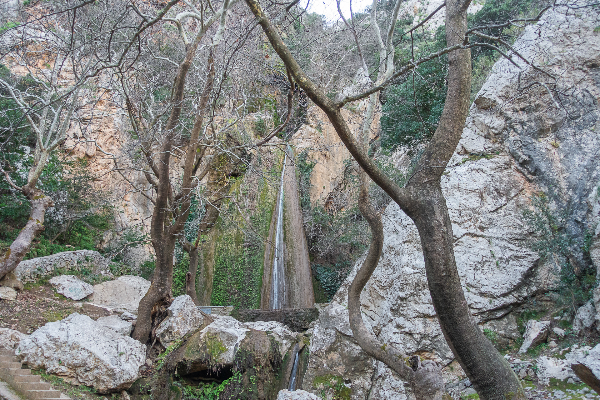
Shortly before the village, the cold waters of Petra Waterfall provide an ideal spot for relaxation and recovery.
34.2 km.
ROAD
DIRTROAD
BAD DIRTROAD
PATH
34.2 km.
ROAD
DIRTROAD
BAD DIRTROAD
PATH
ROAD
BAD DIRTROAD
DIRTROAD
PATH
GALLERY
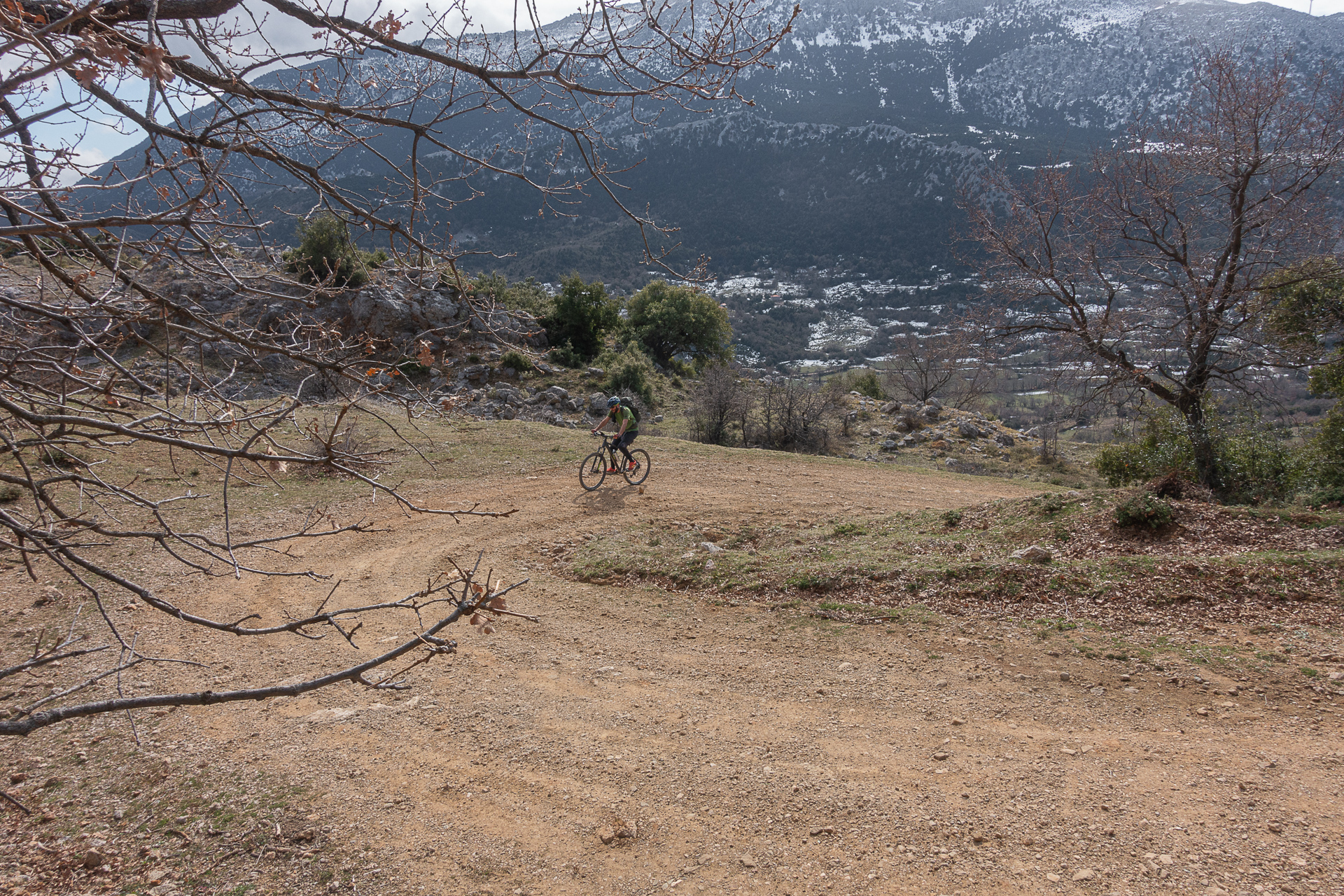
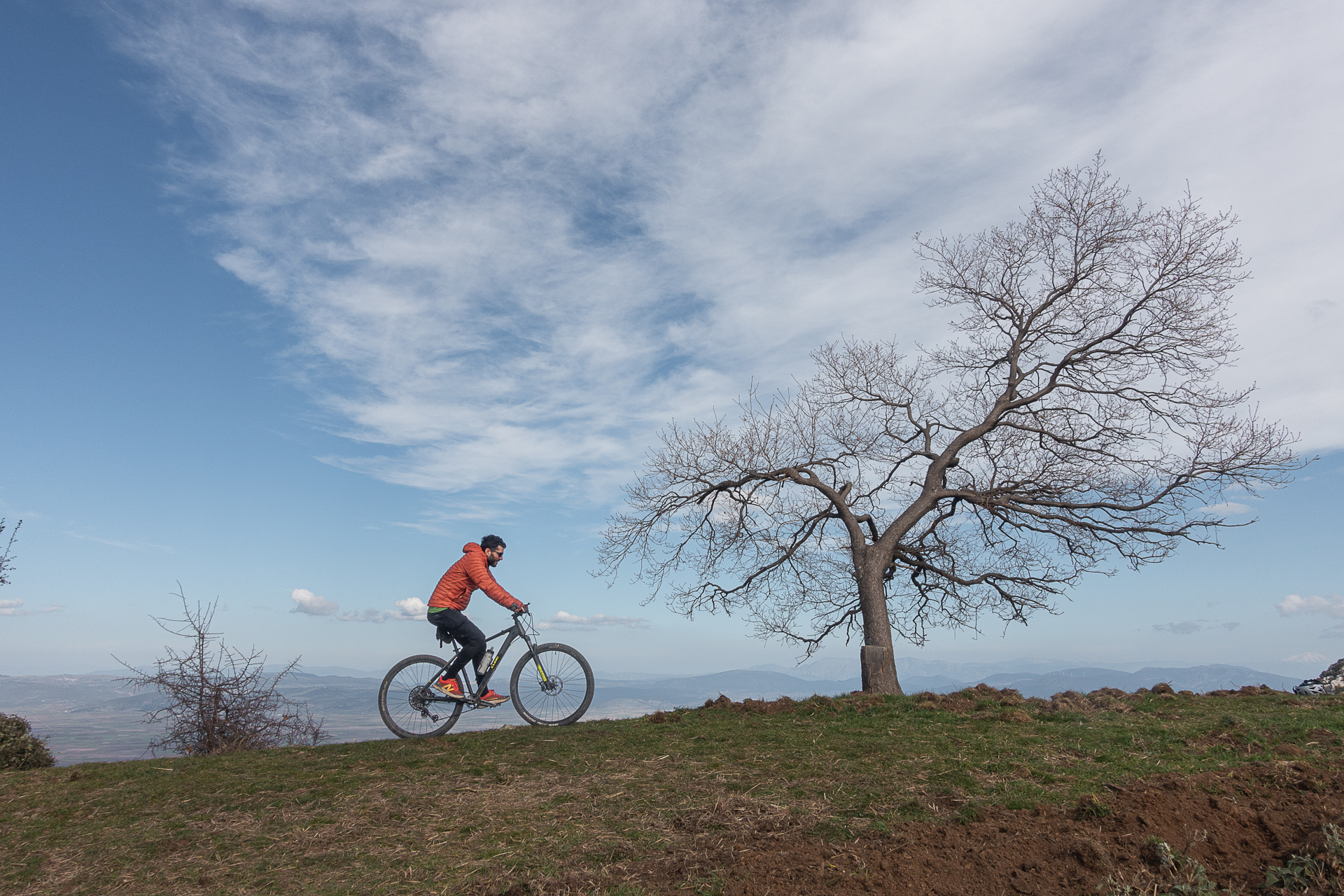
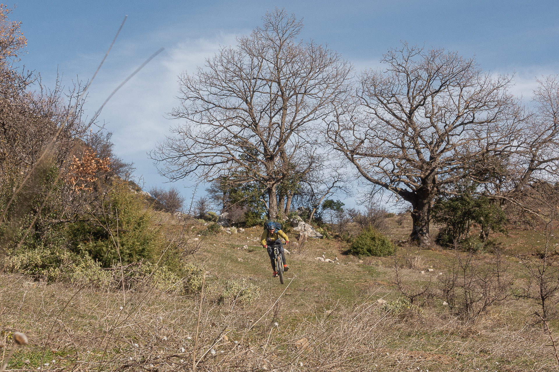
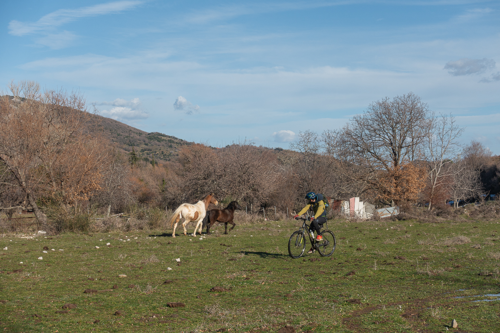
- POINTS OF INTEREST
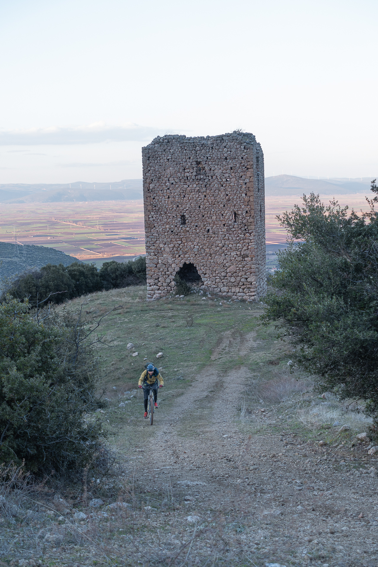
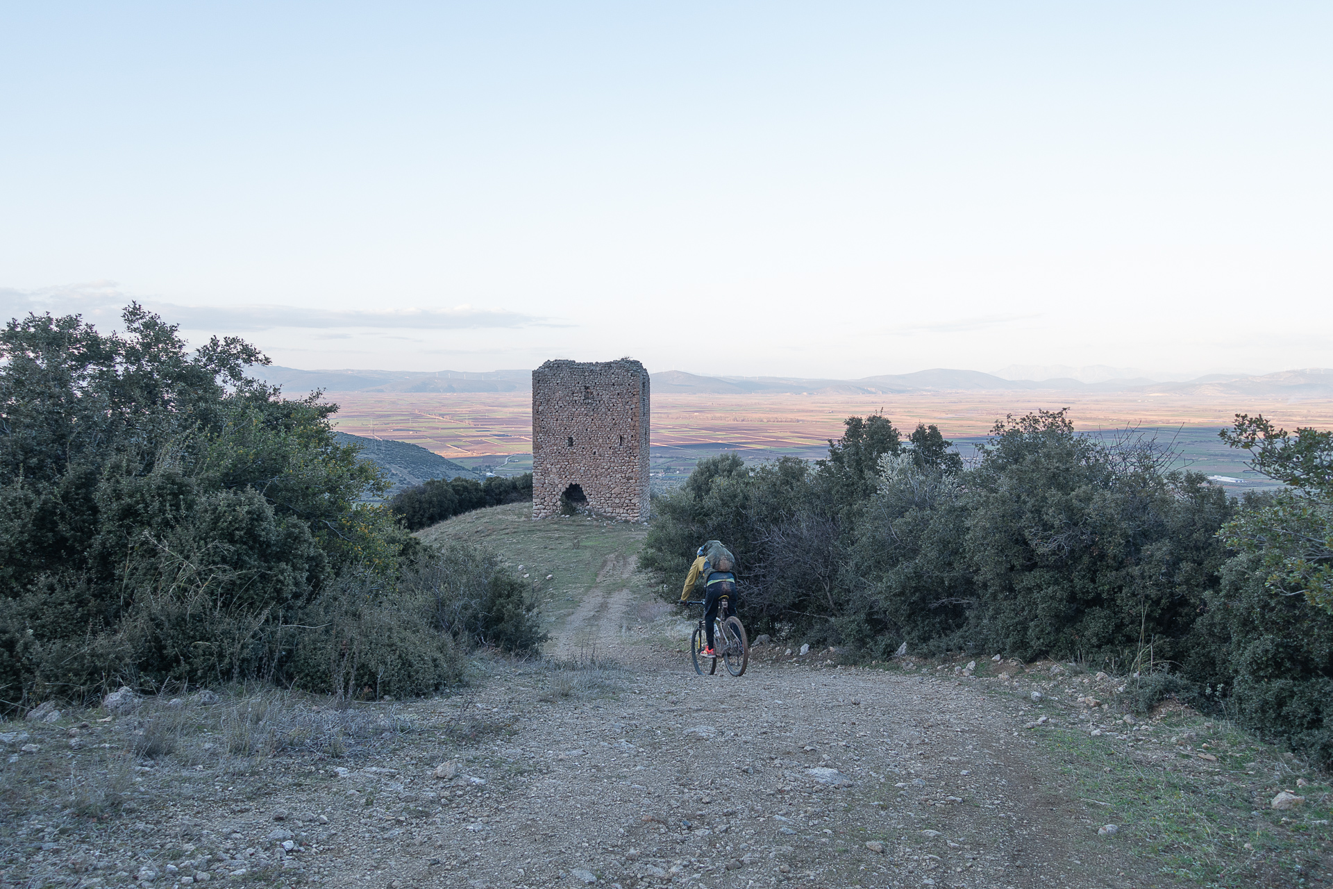
Dating from the Frankish period (1204–1460 AD), the tower overlooks the village of the same name. When built, it commanded views of Lake Copaïs and the surrounding farmland and was likely part of a tower network with defensive and possibly communication functions. It had three floors; the almost square base measures 9.3 × 9.15 m, walls are 1.5 m thick, and the remaining height is 15 m.
One of the tallest waterfalls in Central Greece, its rushing waters drop 25 m, creating a mesmerizing and cool scene complemented by small basins, plane trees, and a tastefully designed area, making it one of Boeotia’s best-hidden treasures.
ROAD BOOK
| Distance between points | Total distance | Description | |
|---|---|---|---|
| 0 | 0 |  |
Starting point: central square of Petra, Boeotia. Follow signs to the Waterfall and Evangelistria. |
| 0.2 | 0.2 |  |
Exit the village, left at the fork toward Monastery Evangelistria. |
| 4.4 | 4.6 |  |
End of the climb, right onto asphalt. |
| 0.1 | 4.7 |  |
After 100 m, straight – right toward “Conference Center.” |
| 0.3 | 5.0 |  |
Next fork, right toward “Conference Center.” (Straight leads to Evangelistria village). |
| 0.8 | 5.8 |  |
First right hairpin after the monastery, left onto secondary dirt road. |
| 0.6 | 6.4 | |
Start of descent, left at fork—downhill |
| 0.2 | 6.6 | |
Second fork (overlooking the village), left—downhill. |
| 0.2 | 6.8 |  |
Mid-descent, diagonal right-back toward Agios Vasileios. |
| 0.6 | 7.4 | |
First fork on the climb, right—uphill. |
| 2.3 | 9.7 | |
Shortly after the climb, left at fork (right leads to mountain peak and Agios Vasileios chapel). At the end of the road, continue straight on a trail through a meadow. |
| 1.1 | 10.8 |  |
End of trail, left onto a rough dirt road. |
| 1.4 | 12.2 | |
End of descent, after Agia Marina chapel and stone reservoir, right slight uphill at fork. |
| 0.5 | 12.7 |  |
End of road, meadow with roadside shrine, diagonal left onto trail. |
| 0.5 | 13.2 | |
End of trail, left onto very rough dirt road. |
| 0.6 | 13.8 | |
Road gradually narrows into a trail; after crossing the stream, right onto wide dirt road (left goes to Evangelistria). |
| 4.2 | 18.0 |  |
First house, diagonal right-uphill. |
| 0.5 | 18.5 |  |
Ignore first left road; continue right slight uphill. |
| 1.6 | 20.1 | |
End of climb, ignore road to the right; continue straight slight downhill. |
| 0.5 | 20.6 |  |
On descent, ignore left diagonal-back road; continue right slight uphill. |
| 1.0 | 21.6 | |
First fork after power poles, right steep downhill. |
| 1.8 | 23.4 | |
End of steep descent, right uphill. |
| 0.1 | 23.5 | |
After 100 m, left downhill onto asphalt. |
| 0.6 | 24.1 |  |
First dirt road right to fire reservoir. |
| 5.9 | 31.0 | |
End of road, left toward village Pyrgos. |
| 1.0 | 32.0 | |
End of road, right toward waterfall. Return via the same route to the starting point. |