
SOUTH KYTHIRA
KILOMETERS
DURATION
ELEVATION
PROPOSED SEASON
DIFFICULTY
PHYSICAL CONDITION
TECHNICAL DIFFICULTY
STARTING POINT
Author:
V. Karalaios
Photos:
V. Karalaios
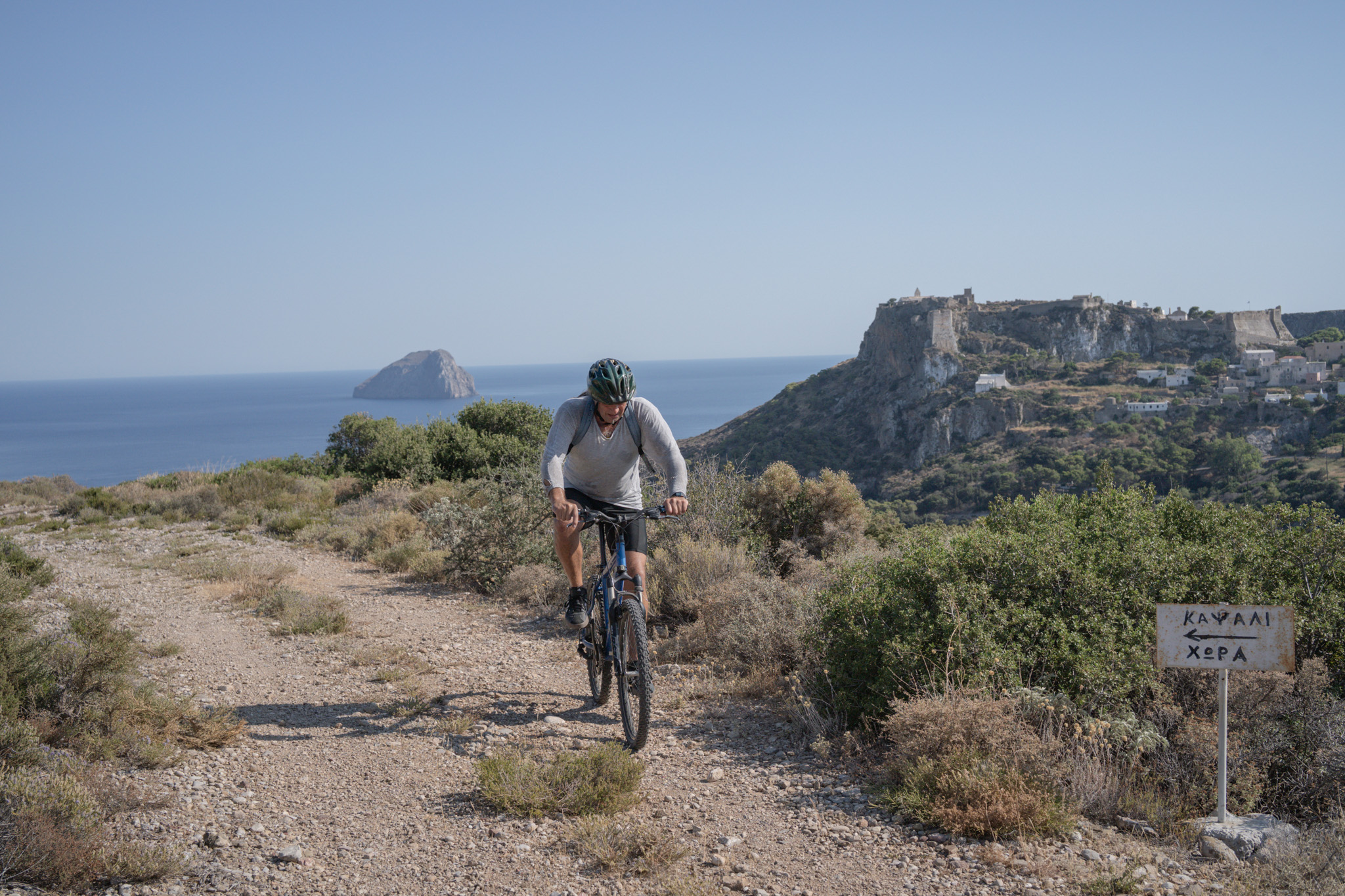
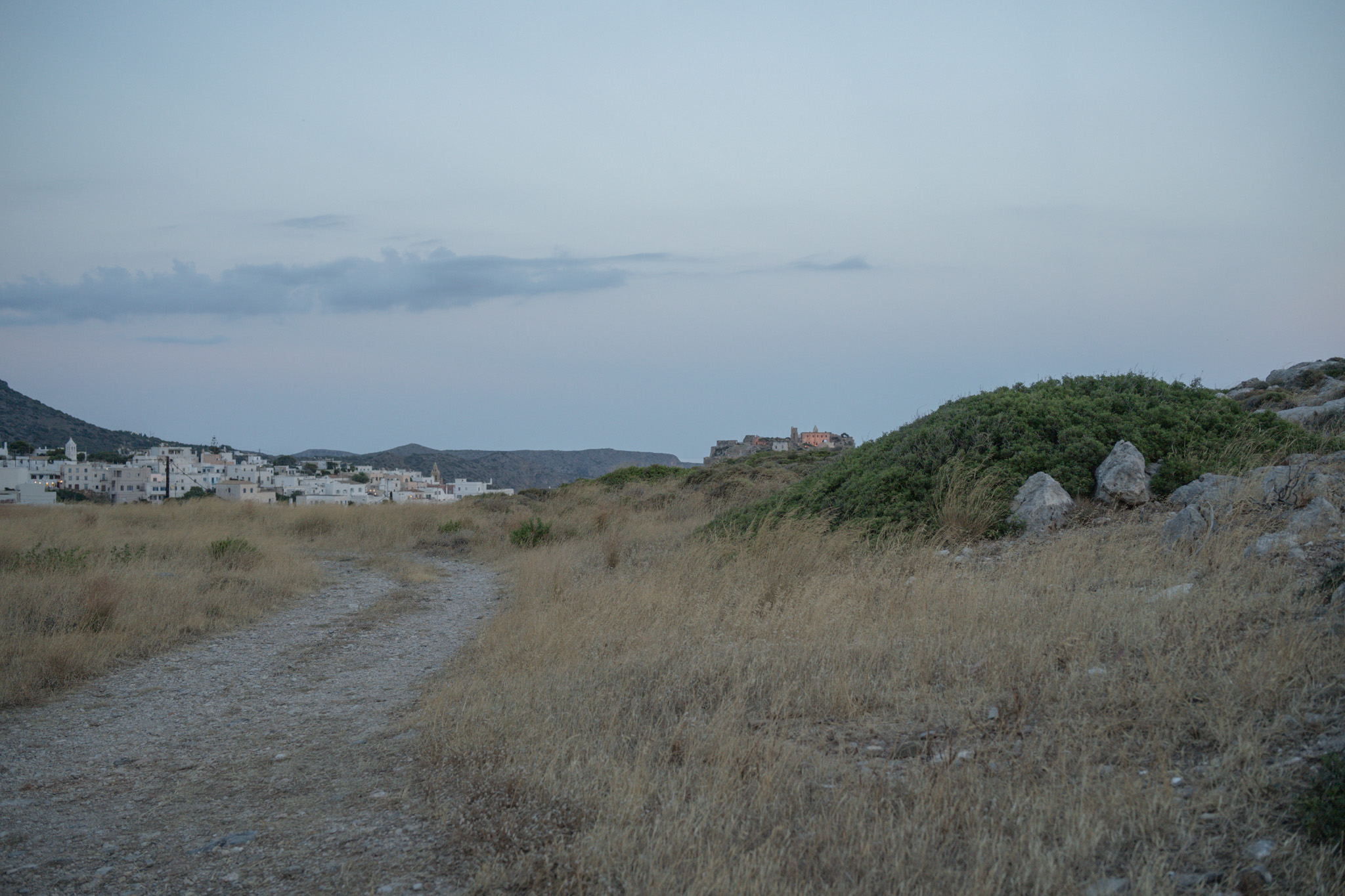
WITH A VIEW OF THE CASTLE
You go to Kythira for the gorgeous beaches and their incredible variety. But when it’s time to ride, disappearing for a whole day automatically means complaints from the group. This route was designed to save the day: a quick afternoon ride, packed with changing scenery and an endless view all the way to Crete.
INTRODUCTION
Kythira is the ultimate bone of contention on the Greek map — an island with such a rich character that many lay claim to it. The Ionians swear it’s their seventh island (just cut off to the south), the Peloponnesians see it as a natural extension of Laconia, and the Region of Attica — for reasons only Greek bureaucracy can explain — decided to fold it into its own territory. So technically, you’re mountain biking in “Athens,” just a few nautical miles from Syntagma Square.
Because of its strategic position, various peoples passed through here and left their mark, creating a cultural mosaic that’s hard to find anywhere else. Minoans, Spartans, Byzantines, Venetians, French, Russians, Ottomans, and British — all wore the conqueror’s crown on the island. The most “persistent,” however, were the Venetians, who stayed for centuries and gave Kythira its aristocratic, Ionian-island air, and later the British, who arrived with their advanced (for the era) engineering plans, roads, and infrastructure.
The presence of all these conquerors also shaped the island’s very character. On Kythira there’s no classic, uniform Aegean pattern. The architecture of the villages balances between strict Venetian fortification, the elegance of Ionian mansions, and the simplicity of the Mani. Even the local dialect still retains Italian words today, along with a distinctive, sing-song Ionian accent, creating the feeling that with every bend in the road you cross into a different country.
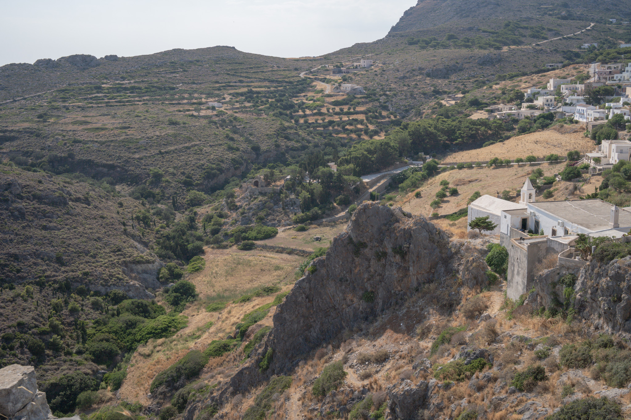
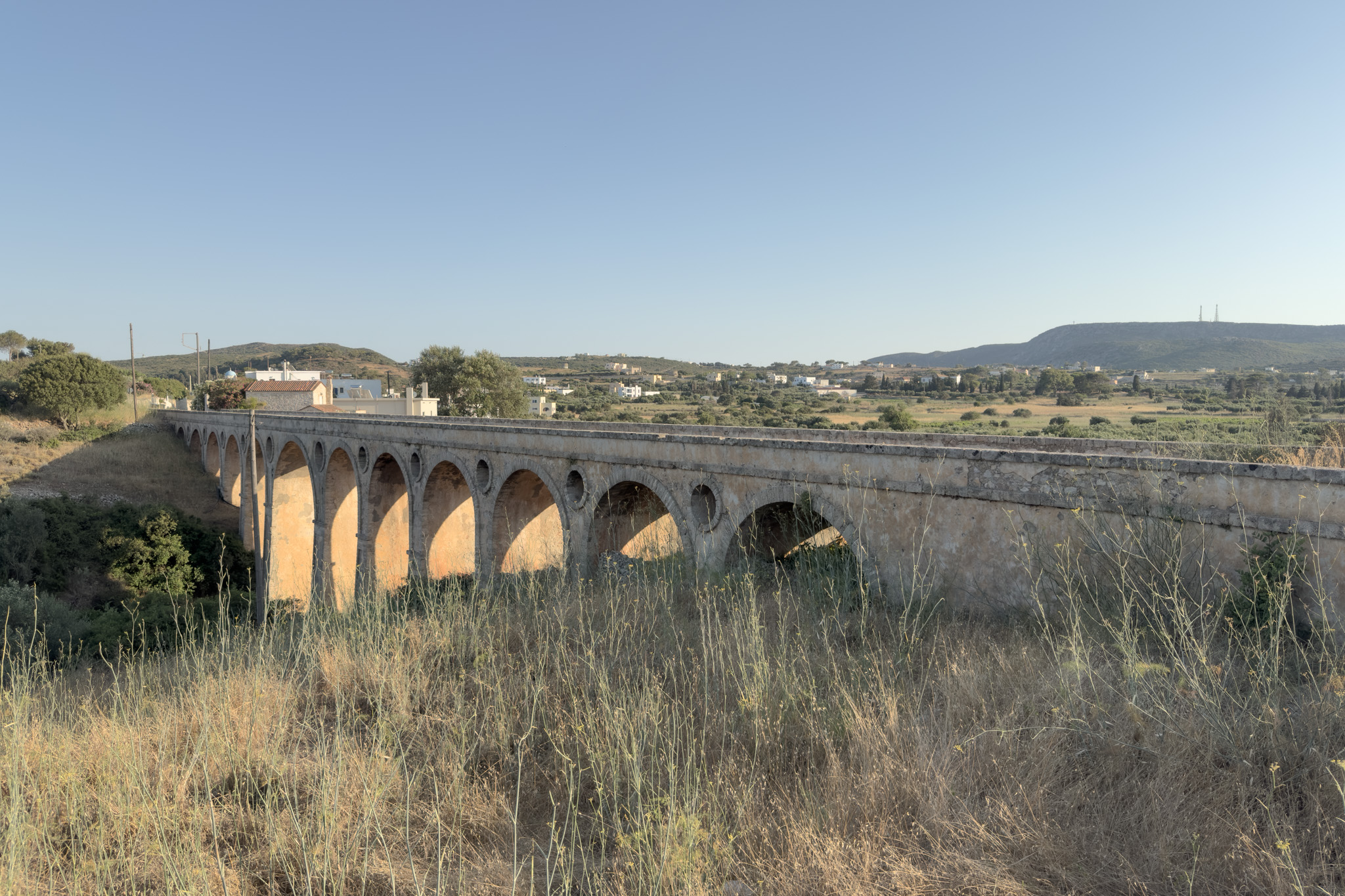
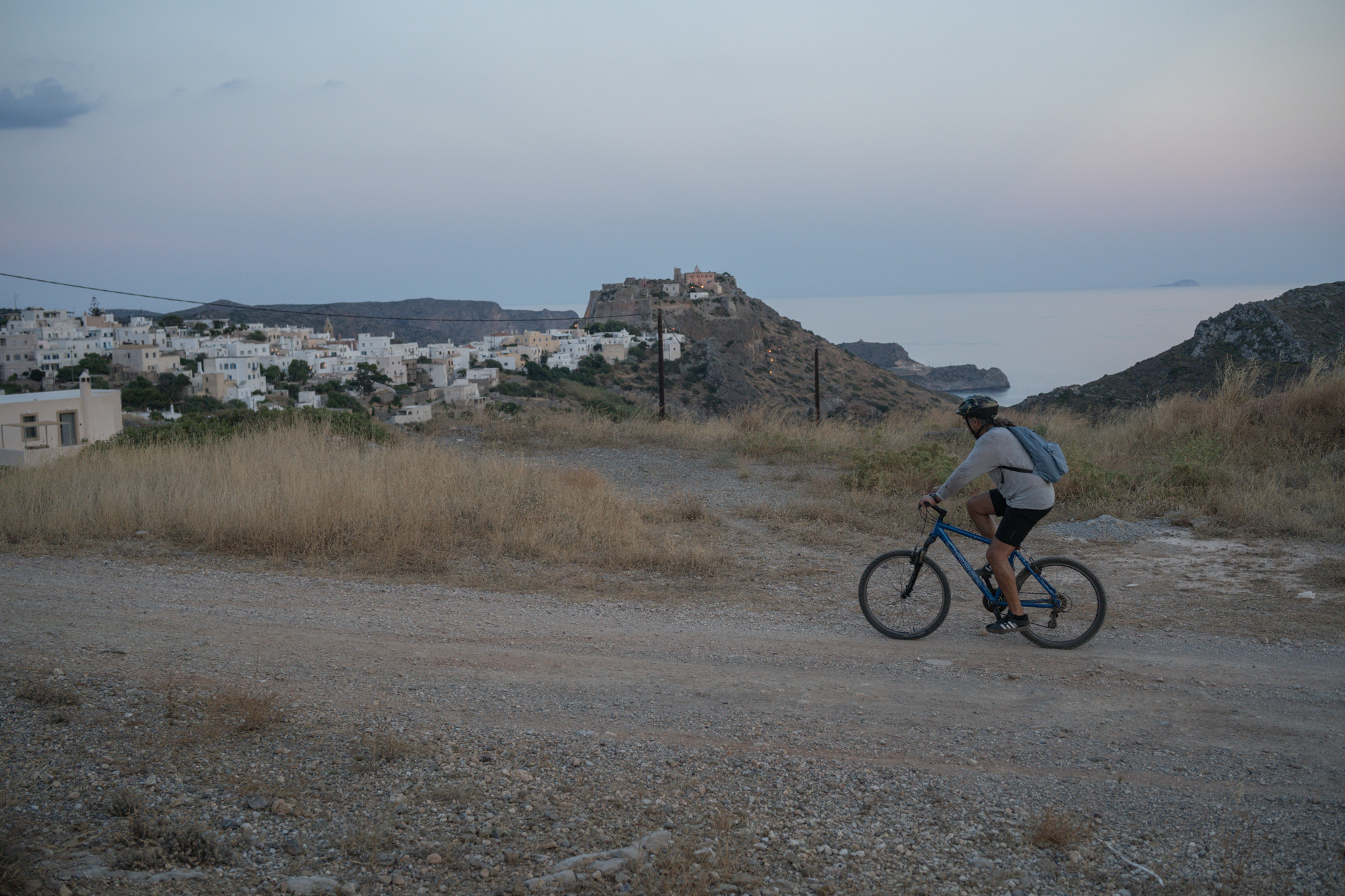
This succession of rulers is perfectly captured in the island’s two most emblematic monuments, both of which our route passes and which represent the two most influential empires that passed through here. The Venetian legacy stands imposingly over the Castle of Chora, which the Venetians began building in the 13th century and completed in 1503. Also known as the “Eye of Crete,” the castle was built at this strategic point to offer total control over ship passages toward the Aegean, with its walls, old gunpowder magazines, and the Provveditore’s Palace keeping its medieval aura alive to this day. On the other hand, the transition to the British period in the 19th century brings to the forefront British constructional discipline, crowned by the impressive Katouni Bridge, completed in 1826. It’s the largest stone bridge ever built in Greece, 110 meters long with 13 perfectly symmetrical arches — of which local legend says the English Resident Macphail marshaled all this engineering precision mainly so he could reach Katouni faster, where his sweetheart was waiting for him.
Beyond its rich architecture and history, the same striking variety also characterizes Kythira’s nature. The flora here holds constant surprises, presenting a landscape that changes character within a very short distance. On one side, you’ll find a typically Cycladic, spare landscape dominated by dry-stone walls, wild sage, thyme, and the famous sempreviva — the island’s small yellow flower that remains unchanged through time. On the other, this bare beauty suddenly gives way to lush, cool ravines full of running water, centuries-old plane trees, and dense vegetation that feels more like mainland Greece than an island.
Finally, in terms of birdlife, thanks to the island’s geographic position and its rugged terrain with numerous gorge outlets around its perimeter, Kythira is an important stopover for rest and food for migratory birds. Over 200 different species have been recorded, along with about 20 permanent residents, the most striking of which is the common buzzard — which, if you’re as lucky as we were, you may spot and admire on the section above Feloti, on the route we’re suggesting.
ROUTE DESCRIPTION
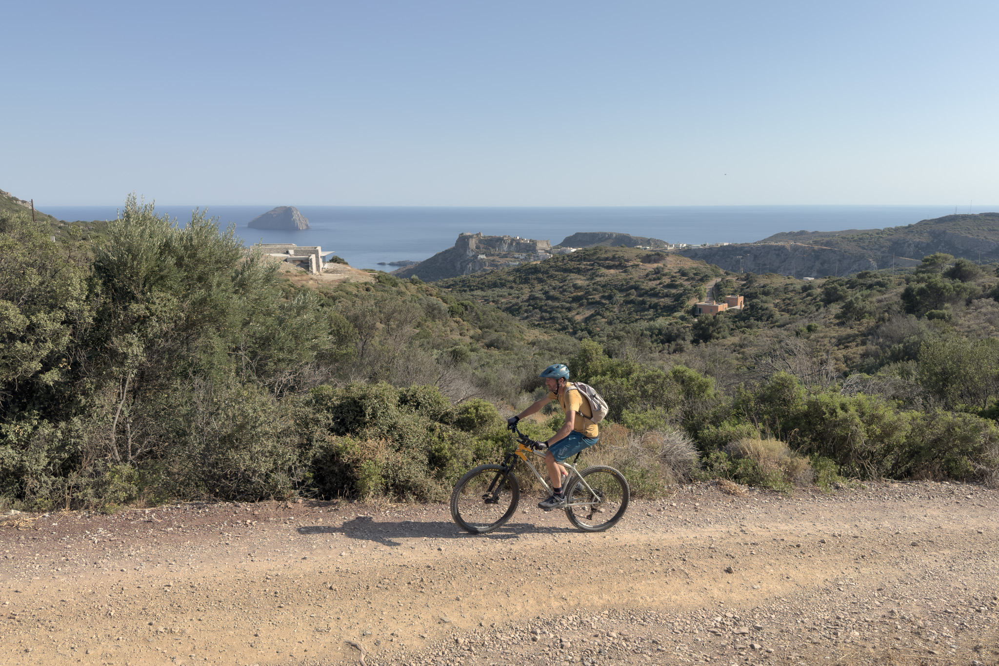
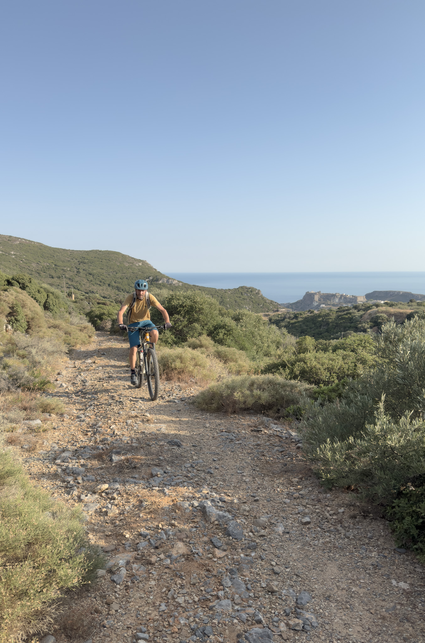
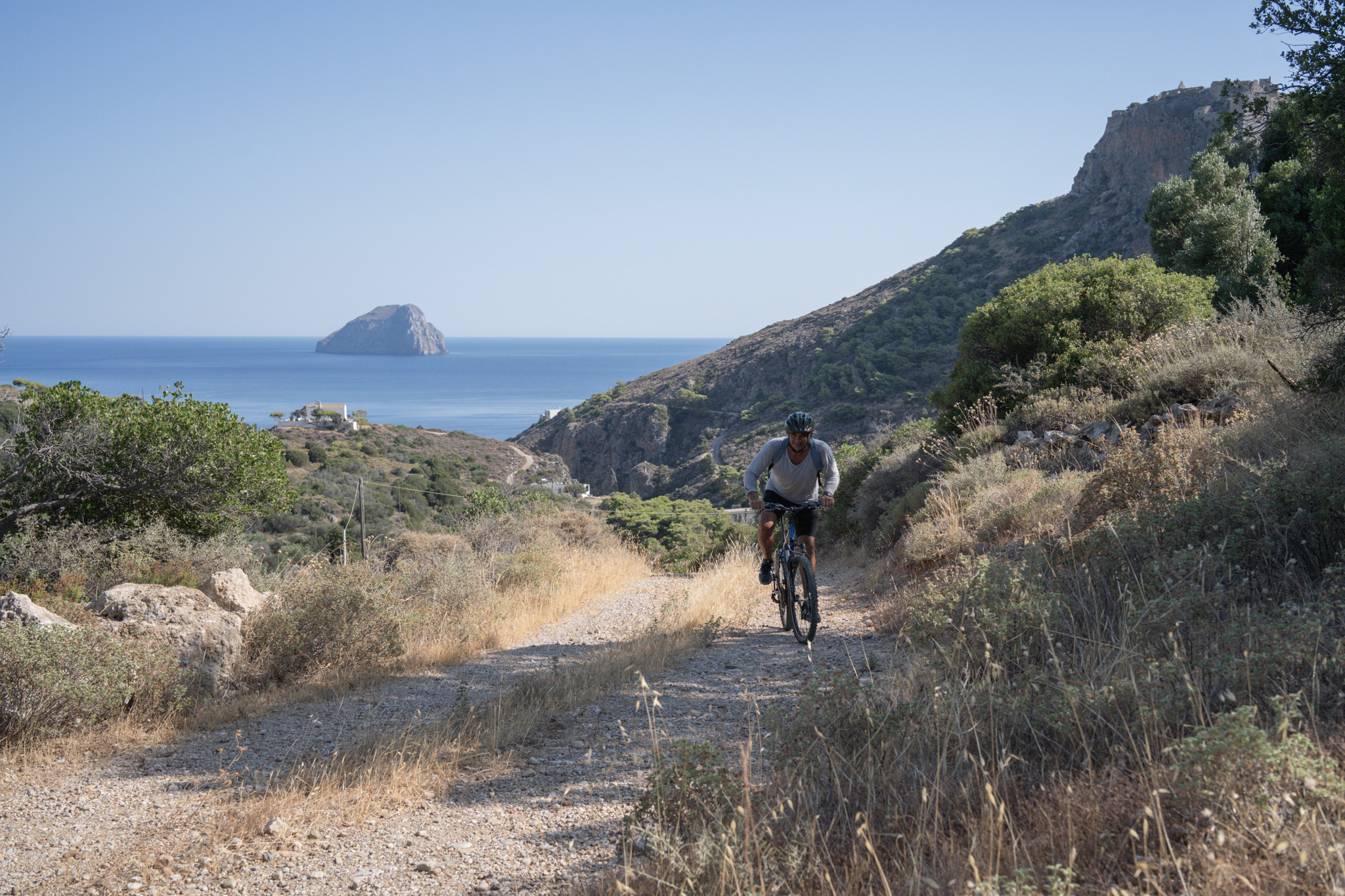
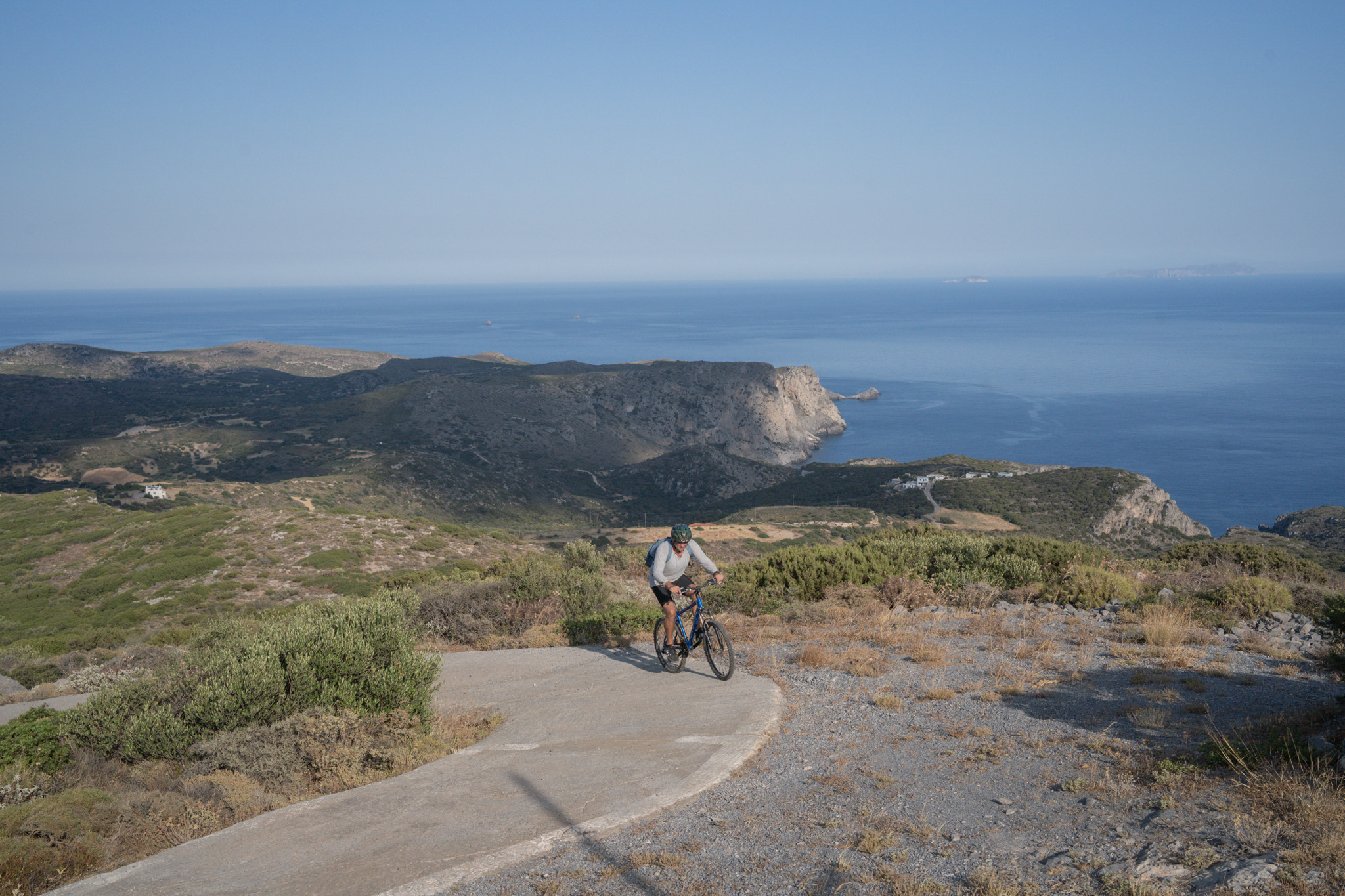
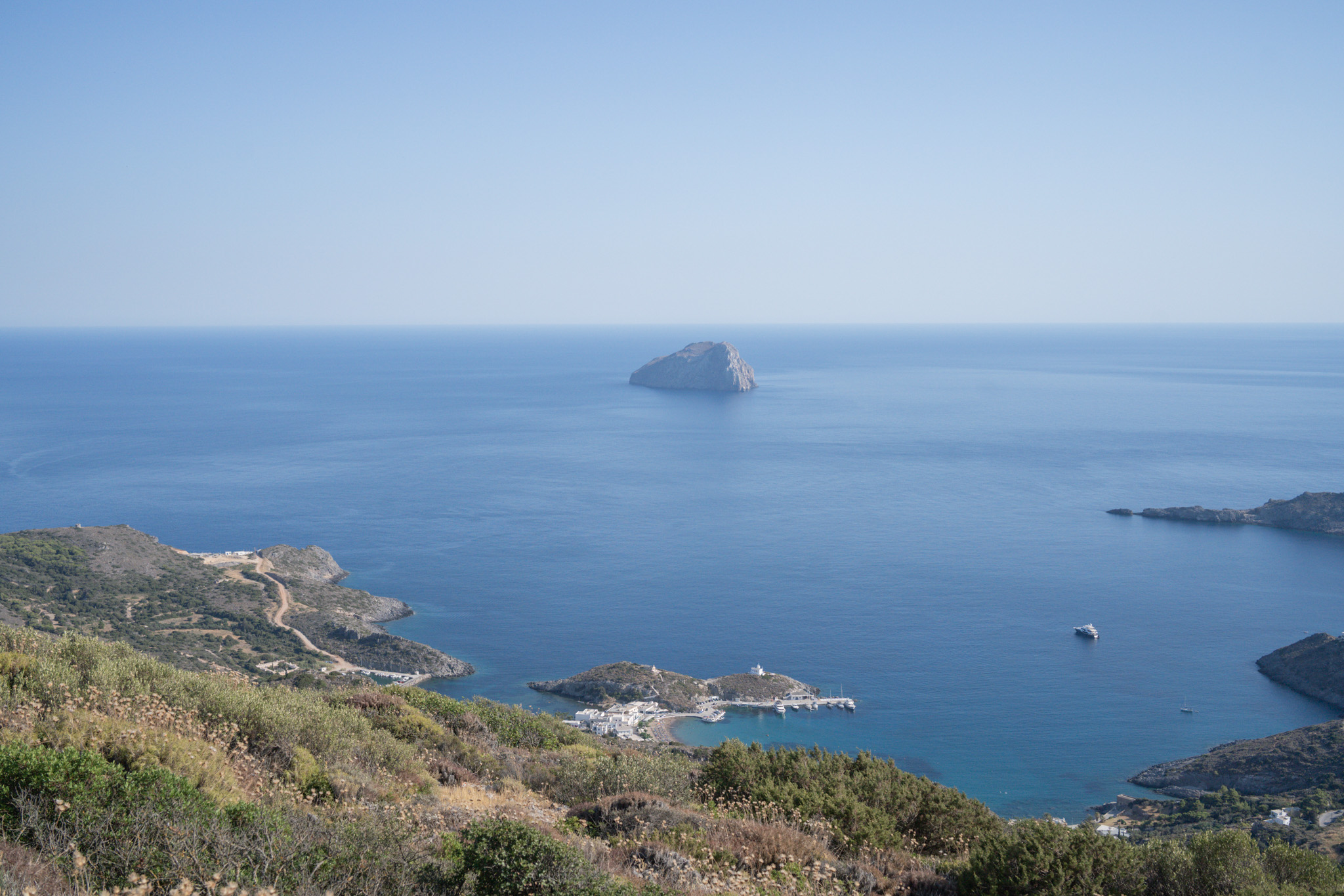
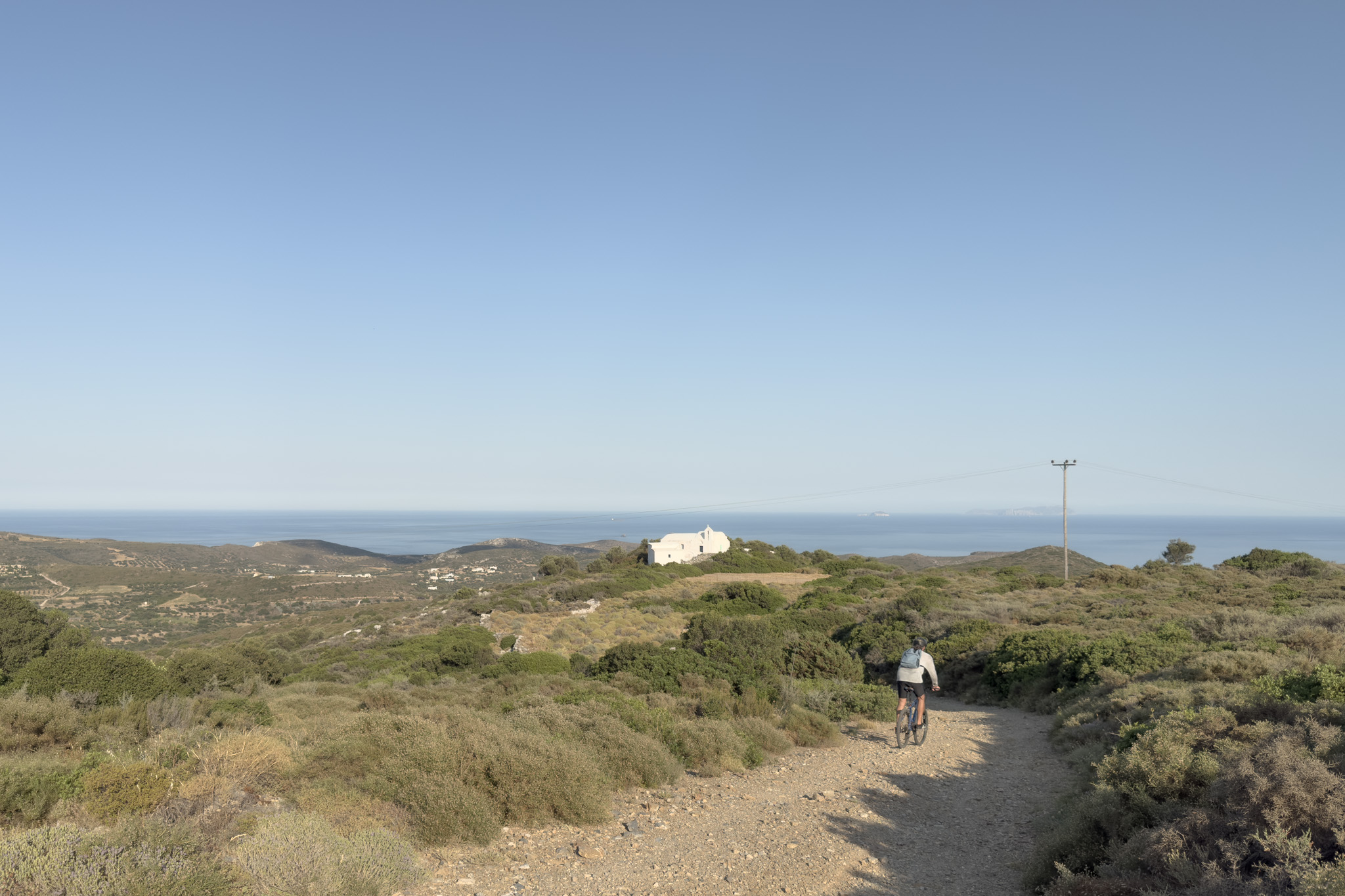
The route starts at the seaside village of Kapsali, the port town of Chora. We head toward Chora, and just before the Kapsali bridge we leave the main road and head north along dirt tracks that are poorly surfaced and quite steep. This combination makes this particular section the most demanding part of the route, both in terms of fitness and technical difficulty. As we go on, the gradient gradually eases and the terrain softens. We’re now in the area of Firoi (firo = red — from the red soil of the area), and true to its name, it makes life easier for us. We continue with the aim of climbing to one of the highest points on the island, the Church of Agioi Akindynoi, and certainly one of the spots with the most impressive view on the island, both over Kapsali Bay and, if the weather allows, all the way to Antikythira and Crete. The road turns steeply uphill again before the church, but the terrain becomes a concrete track on the steep sections.
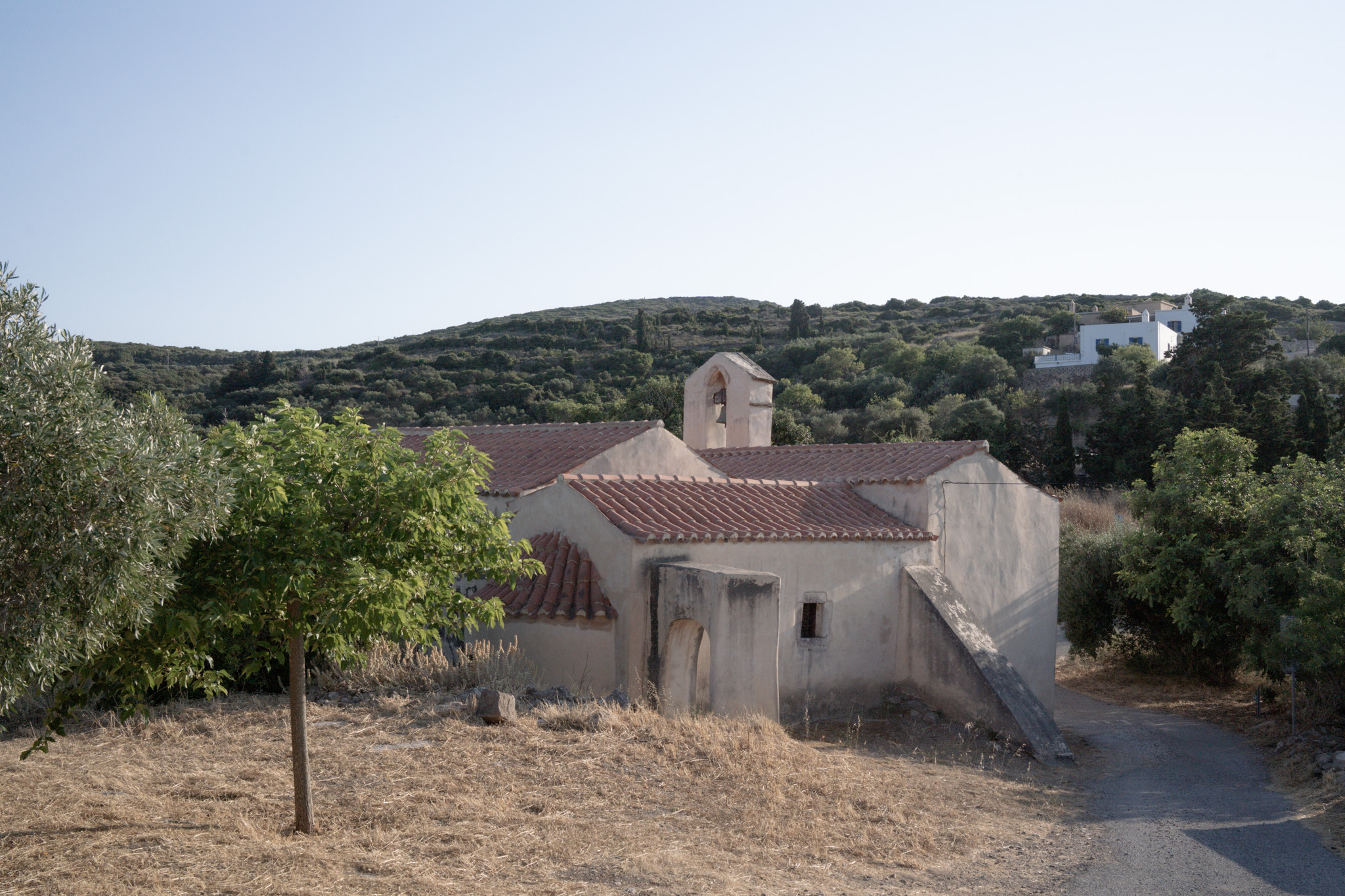
Next stop, the village of Lourandianika. Descending along the same road, after a while we enter a very wide stretch of trail (at the time of writing, the trail had recently been cleared) and then, via a network of gentle, well-surfaced dirt tracks, we reach a very short but quite striking (thanks to the unexpected…) trail through a cypress forest.
After Lourandianika, we ride along a quiet, gently sloping paved road, and then, once we reach a more central road, we make a short detour to cycle over the Katouni Bridge. After turning back, we head toward Livadi, and after crossing it, we head west on a paved road with a gentle uphill gradient, toward the Monastery of Agia Elesa.
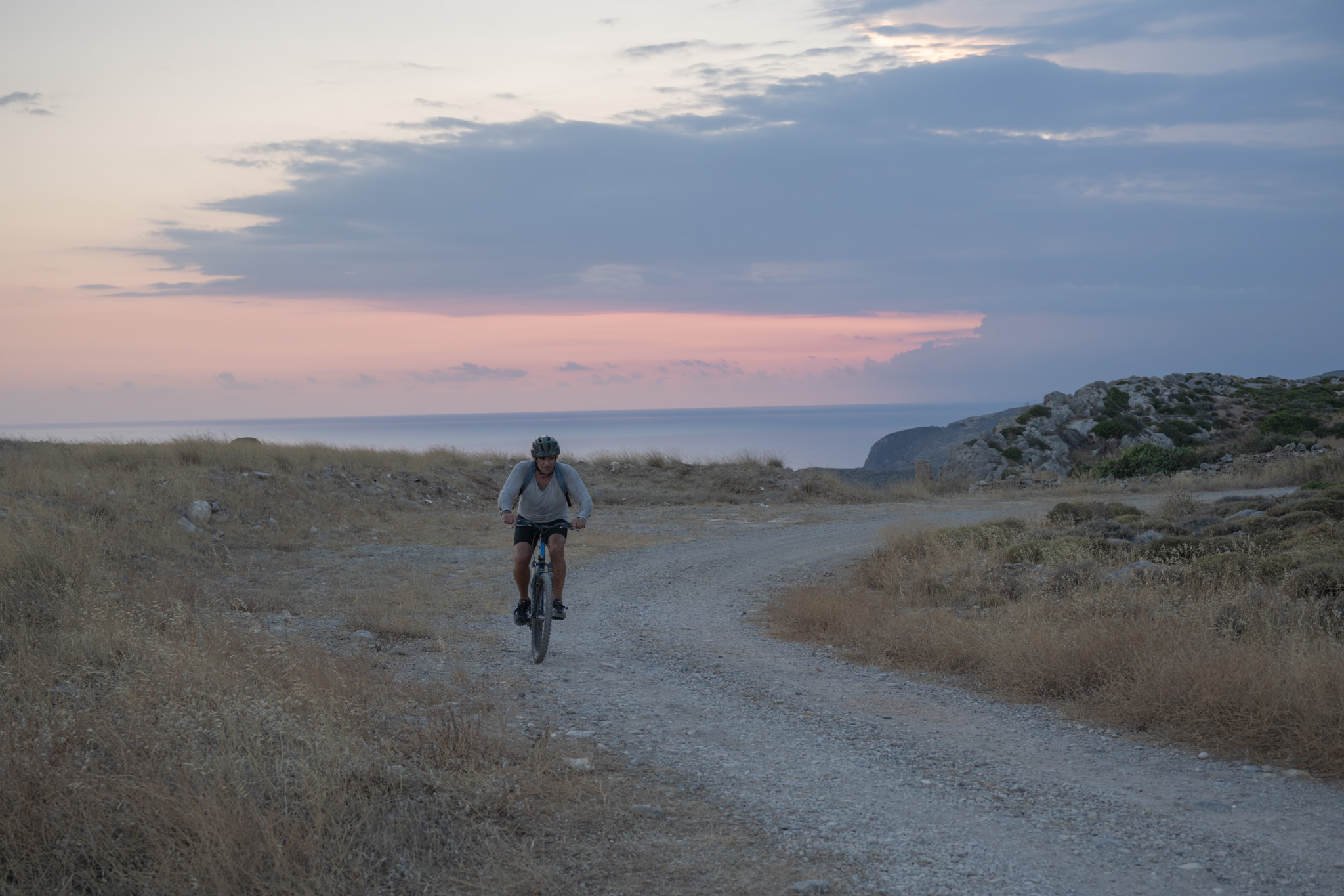
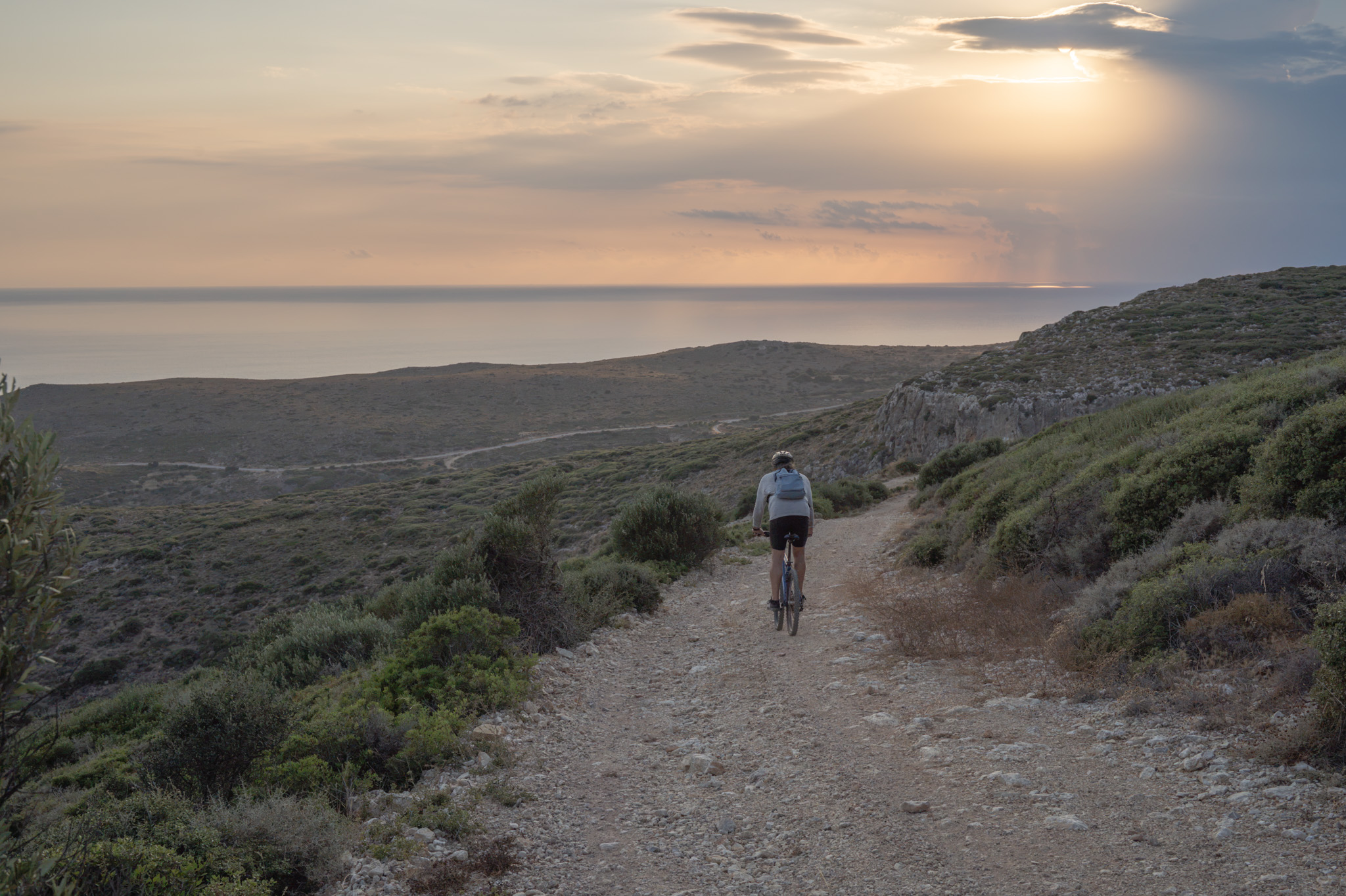
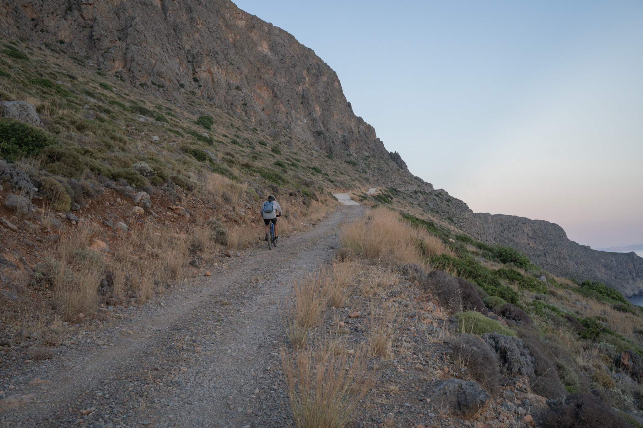
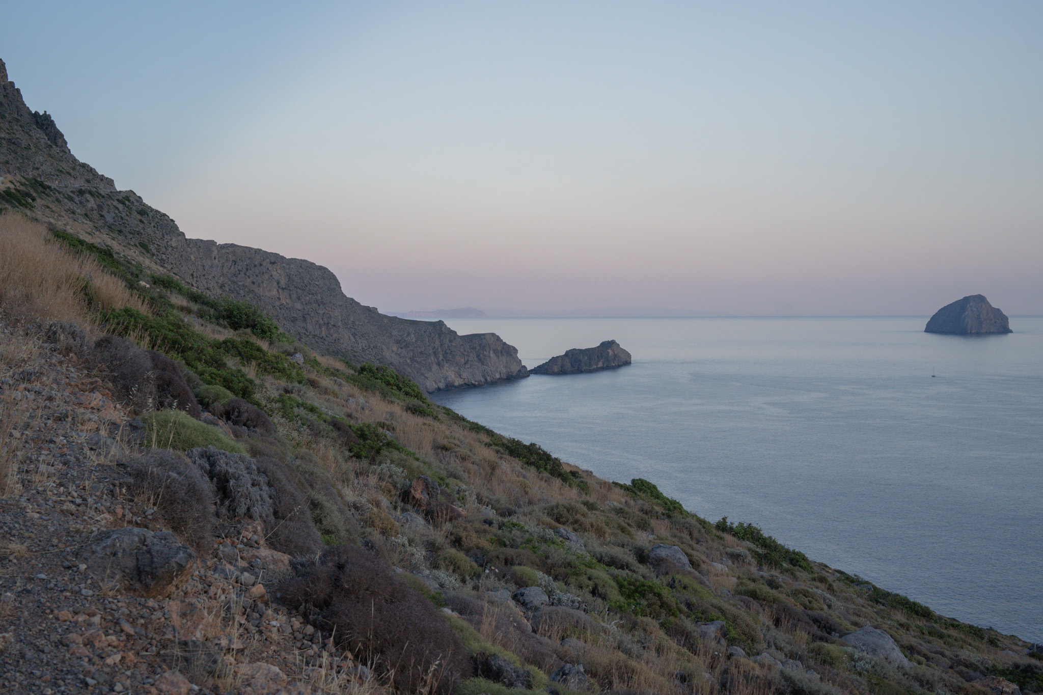
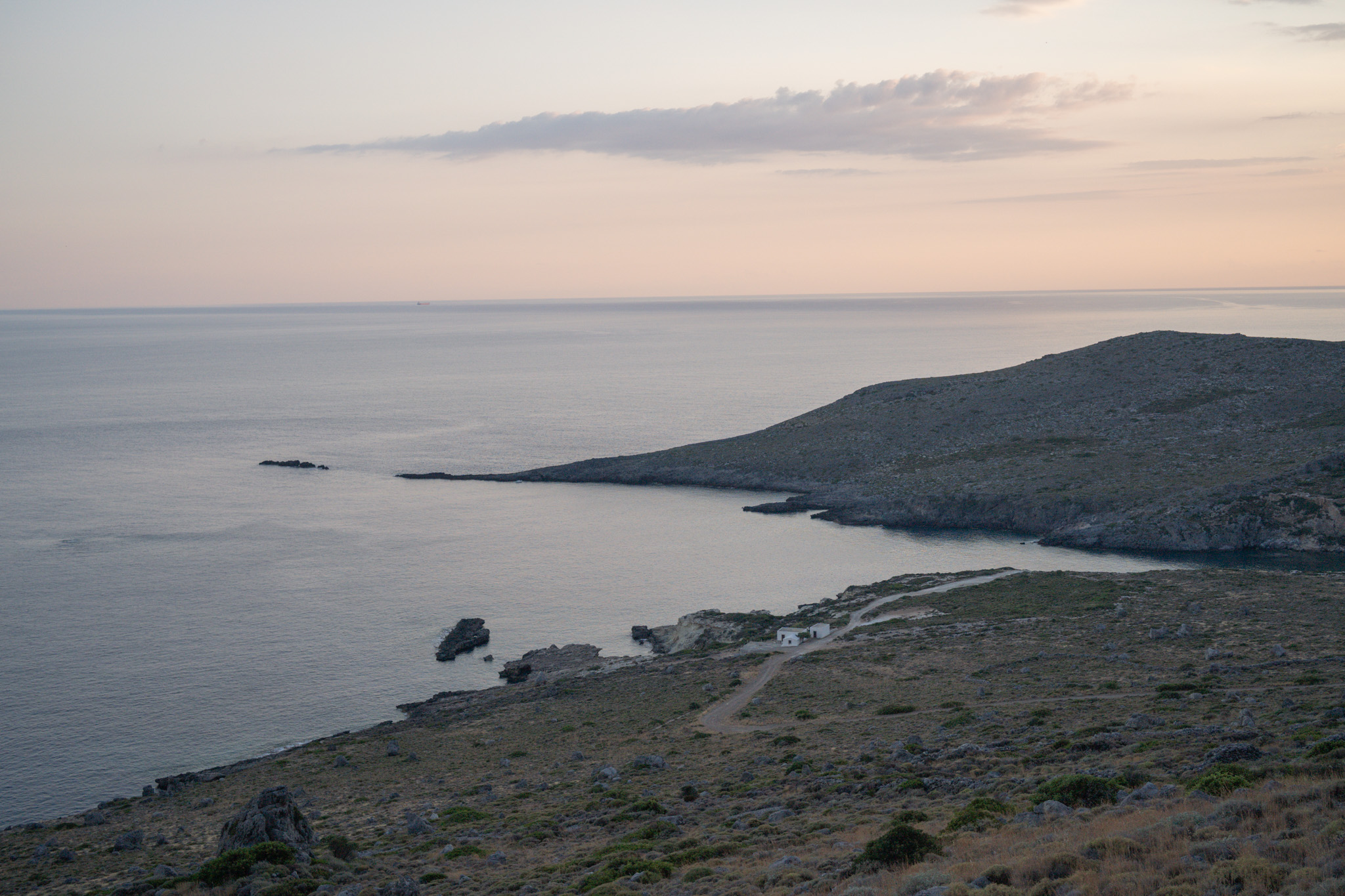
Just before the monastery, we turn onto a poorly surfaced dirt track heading toward Feloti beach. This section is the most striking part of the route, thanks to the rugged terrain and the minimal human presence and intervention. Downhill switchbacks lead us to the western side of the island, which — combined with sunset — makes the experience unforgettable, and then we climb back up toward Chora, with the endless blue on our right and the striking cliff face with its sheer rocks on our left.
After this wild section, what remains is the more cosmopolitan, paved stretch to Chora, where we can stop at the Castle before descending the winding, switchback-filled road down to Kapsali.
22.6 km.
ROAD
DIRTROAD
BAD DIRTROAD
PATH
22.6 km.
ROAD
DIRTROAD
BAD DIRTROAD
PATH
ROAD
BAD DIRTROAD
DIRTROAD
PATH
GALLERY
ROAD BOOK
| Distance between points | Total distance | Description | |
|---|---|---|---|
| 0 | 0 |  |
Starting point is the Vardas supermarket in Kapsali, Kythira. We start heading towards Chora. |
| 0.8 | 0.8 |  |
Before the Kapsali bridge, turn sharp right toward the El Sol hotel (large sign). |
| 0.4 | 1.2 |  |
At a left switchback, just before the El Sol hotel, continue straight on a very steep, poorly surfaced dirt track. |
| 0.25 | 1.45 | |
After a left switchback, turn right onto a dirt track that’s even steeper and in worse condition (after about 10 meters, white-blue markings are visible on a stone post). |
| 0.4 | 1.85 |  |
Meet a better-surfaced main dirt track and follow it to the right. |
| 0.55 | 2.4 |  |
Ignore a road diagonally back to the left. |
| 0.1 | 2.5 |  |
At the fork, go left (on the road with the power poles). |
| 0.4 | 2.9 |  |
At the major junction, follow the middle of the three roads, heading toward Lourandianika (wooden sign). |
| 0.8 | 3.7 | |
At a large walled enclosure, continue straight, ignoring a road on the left. |
| 0.6 | 4.3 |  |
At the end of the road is the Church of Agioi Akindynoi. Return the same way. |
| 1.1 | 5.4 | |
At a left bend, turn right onto a trail (small clearing), following faint white-blue markings at the start of the trail. |
| 0.4 | 5.8 |  |
Coming out of the trail, turn right at the junction. |
| 0.2 | 6 | |
Left at the fork (right leads to a house) |
| 0.4 | 6.4 | |
With the church in view, at the fork go left, heading toward Livadi–Lourandianika (wooden sign). |
| 0.1 | 6.5 |  |
Ignore a road diagonally back to the right. |
| 0.2 | 6.7 | |
Ignore another road diagonally back to the right. |
| 0.1 | 6.8 | |
At the start of the paved road, turn sharp right onto a downhill dirt track (there’s also a small marker post). |
| 0.30 | 7.10 |  |
At the bottom of the descent, just before a small building, turn left onto a trail through the forest (following the markings). |
| 0.20 | 7.30 | |
At tAt the fork in the trail, go right, downhill. |
| 0.05 | 7.35 |  |
At the end of the trail, go left, uphill, onto a dirt track. |
| 0.2 | 7.55 | |
At the end of the dirt track (Lourandianika settlement), turn left onto the paved road. |
| 1.25 | 8.8 | |
At the main paved road (STOP sign), go straight, then after a short distance turn left. |
| 0.4 | 9.2 | |
At the first junction after the church, turn right for the Katouni Bridge. Return the same way. |
| 0.5 | 10.2 | |
At the junction, go right, heading toward Livadi. |
| 1 | 11.2 |  |
At the main road, go right. |
| 0.1 | 11.3 | |
After a short distance, turn left onto a narrow paved road (before Drakakis Tours). |
| 0.6 | 11.9 | |
AAt the end of the road, turn left, uphill, onto the main paved road. |
| 0.7 | 12.6 | |
At the fork, go left, toward Agia Elesa, Pourko, and Melidoni. |
| 0.3 | 12.9 | |
Ignore a road straight left (leads to Kladadika and Pourko). |
| 1 | 13.9 | |
At the top of the climb, at the fork go left, toward Agia Elesa. |
| 0.3 | 14.2 | |
Go right, downhill, onto the first dirt track. |
| 2 | 16.2 | |
At the bottom of the steep descent, go left (continuing on the same road). |
| 1.7 | 17.9 | |
At the end of the road, go left toward Chora. |
| 1.8 | 19.7 | |
At the main paved road, go right toward Chora. |
| 0.2 | 19.9 | |
At the entrance to Chora, go straight toward its center. |
| 0.5 | 20.4 | |
At a distinctive fork, past the church, go left, downhill (right leads to the Castle). |
| 0.15 | 20.55 | |
At the main paved road, go right, downhill. |
| 1.05 | 21.6 |  |
After the Kapsali bridge, go straight and you’re back at the starting point. |