
EASTERN ZAGORI
KILOMETERS
DURATION
ELEVATION
PROPOSED SEASON
DIFFICULTY
PHYSICAL CONDITION
TECHNICAL DIFFICULTY
STARTING POINT
Author:
A. Leontaritis
Photos:
A. Leontaritis
In the Footsteps of the Legendary Protect Aoos MTB Ultra
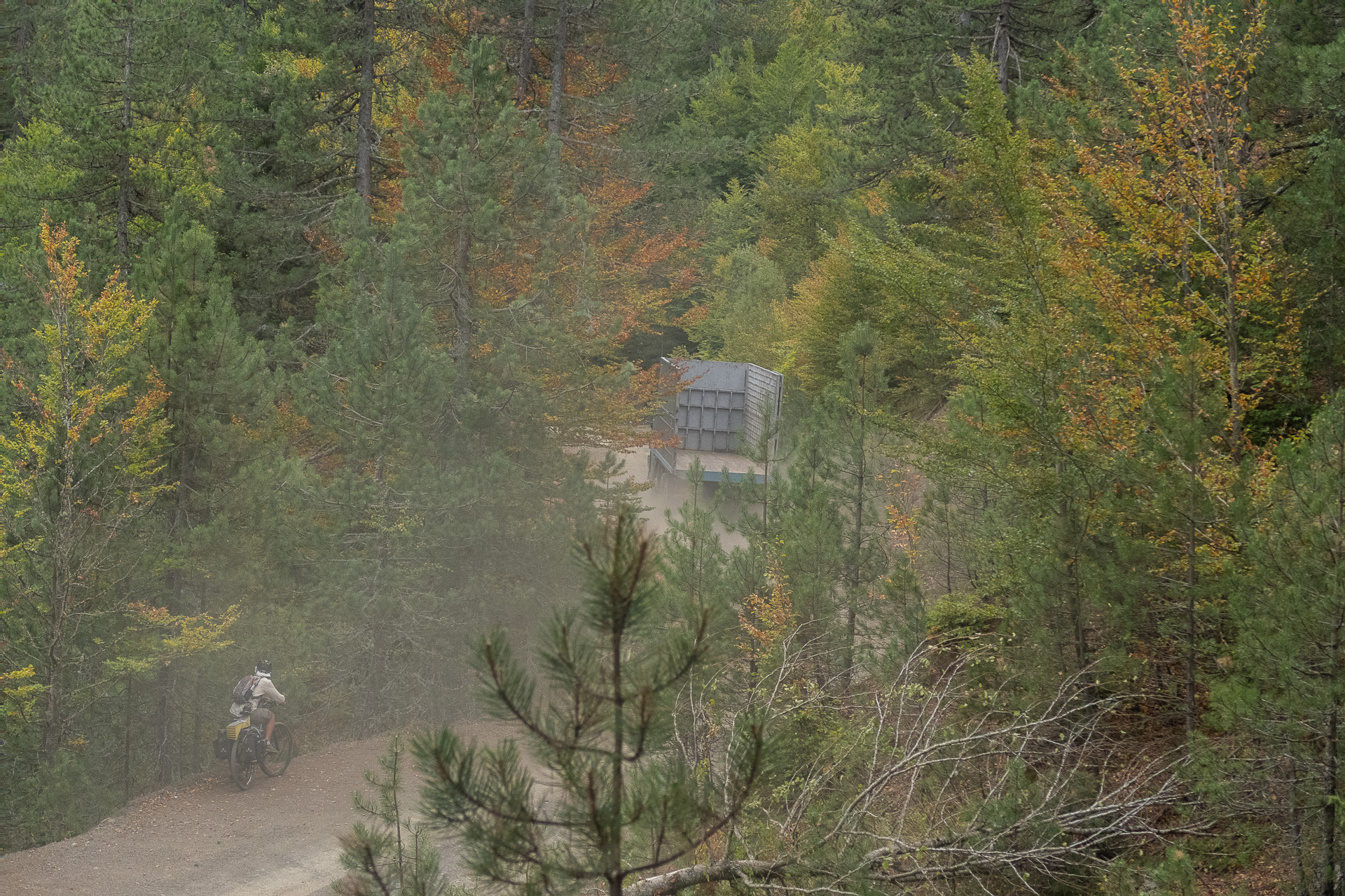
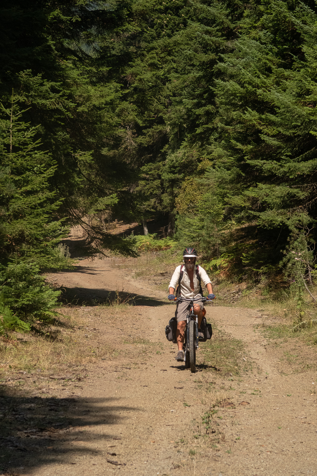
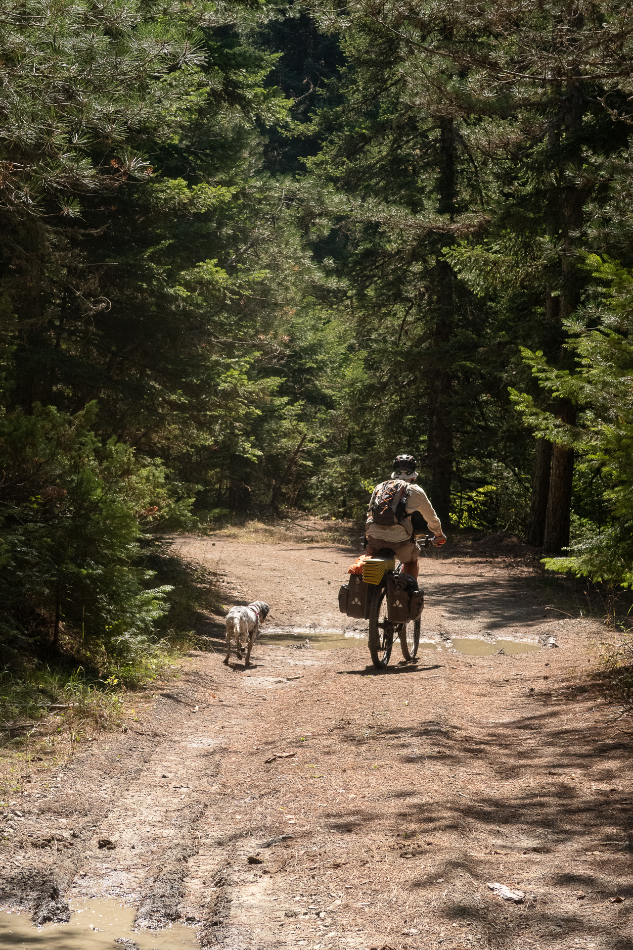
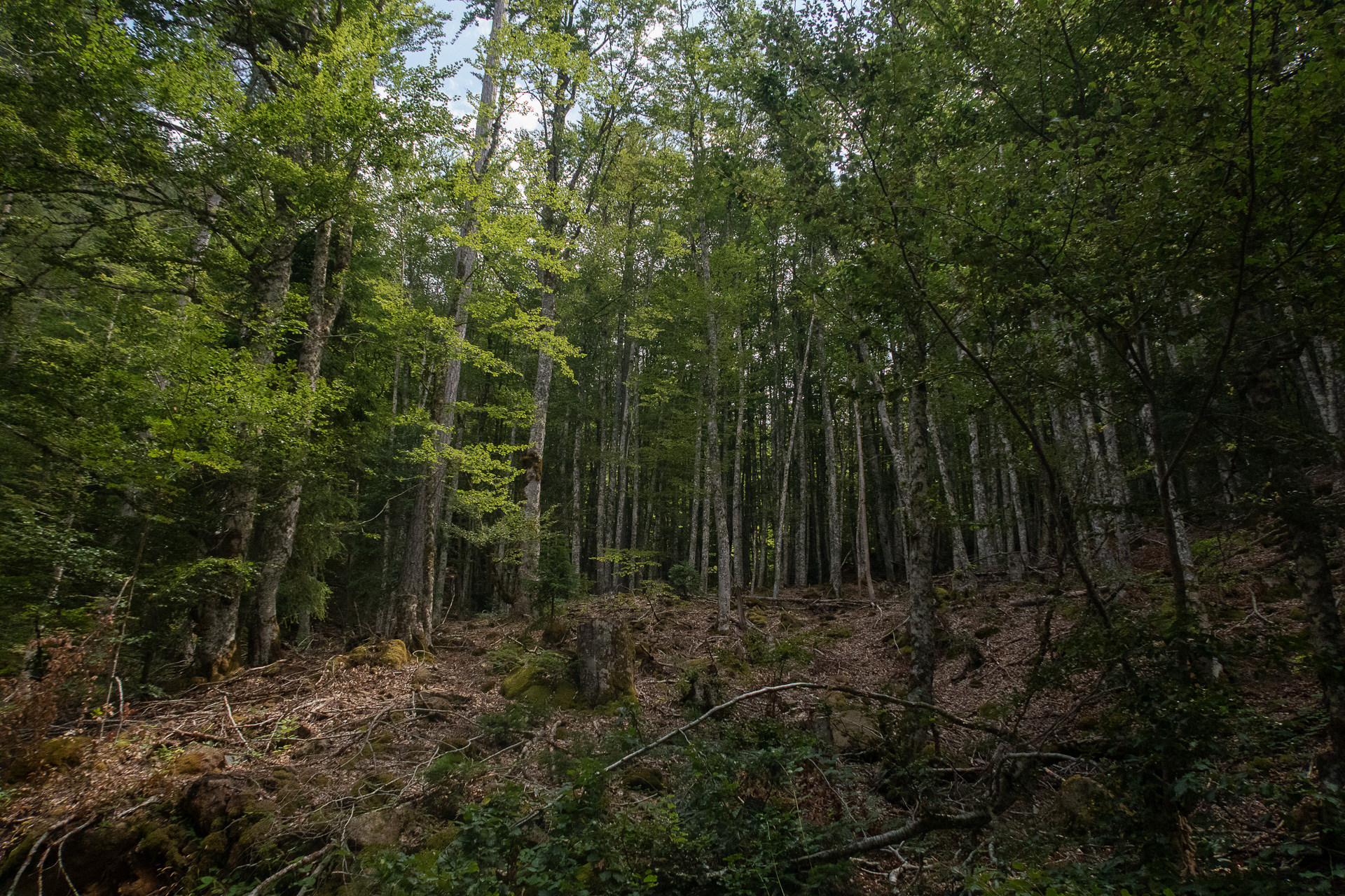
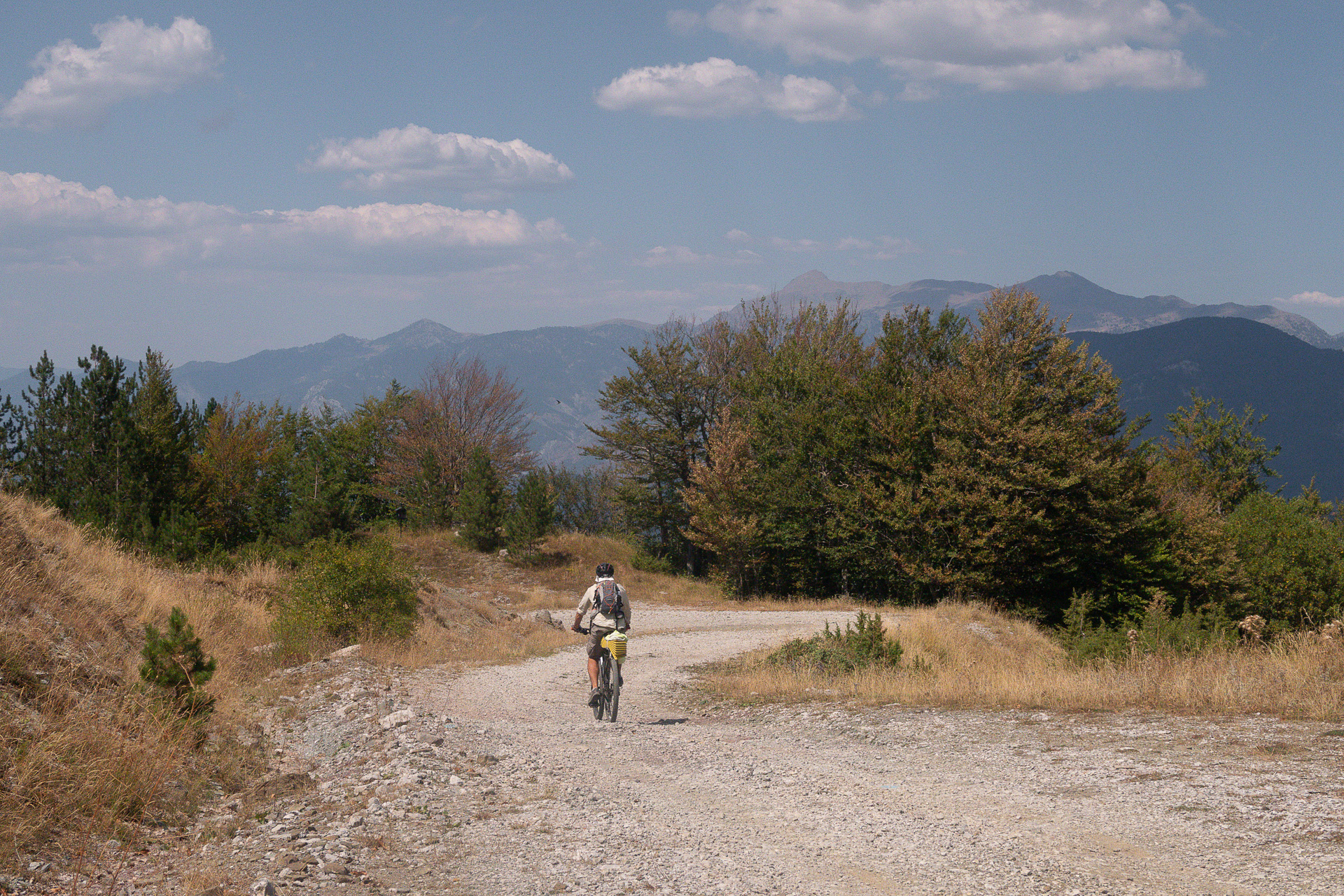
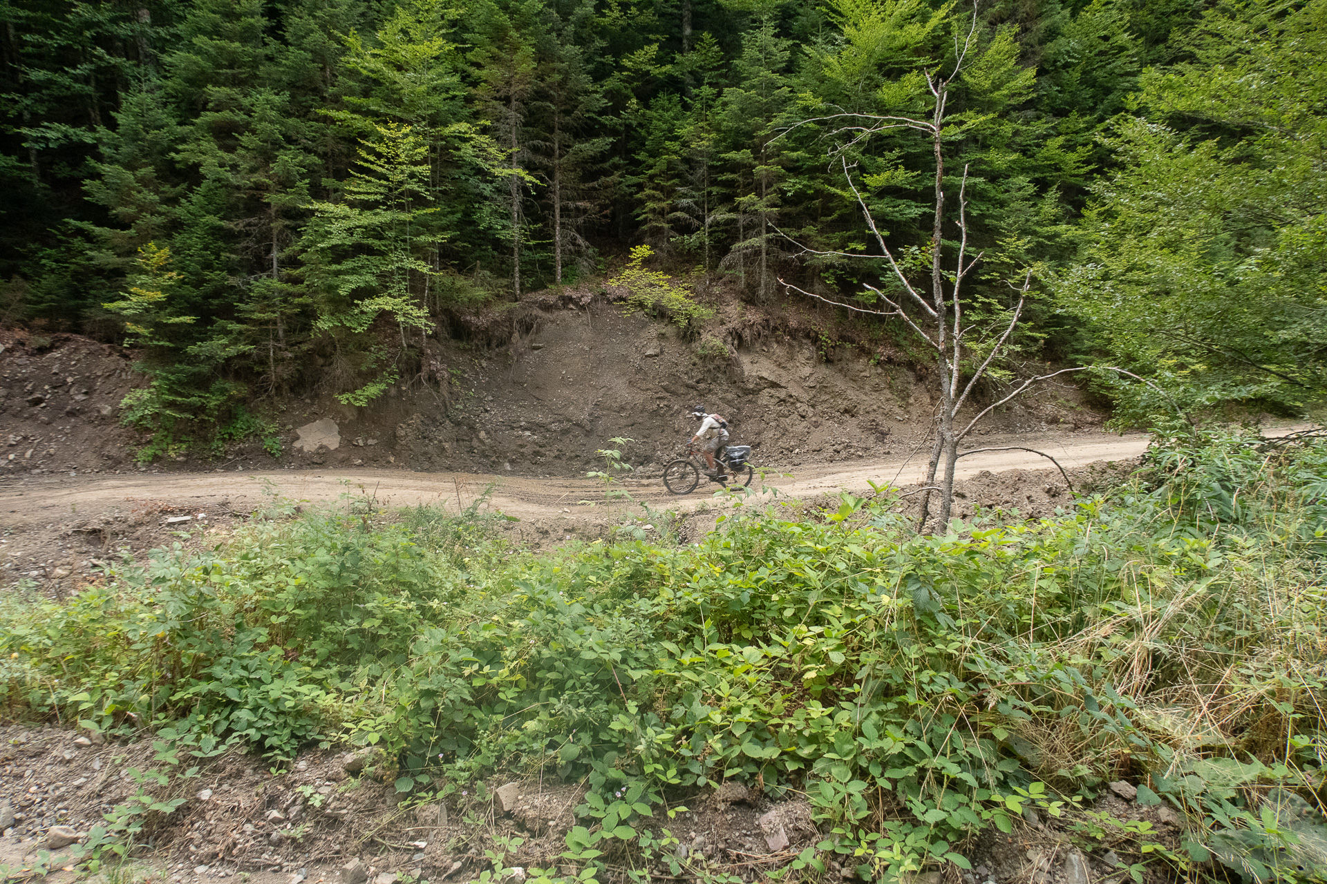
The route winds through the magical forests and rivers of Eastern Zagori, mostly on well-maintained dirt roads, offering a feast of towering beeches, firs, oaks, black pines, and Bosnian pines. The proposed itinerary spans three days, with moderate elevation gain, low technical difficulty, and plenty of off-the-saddle time to explore this unique area. It is an ideal introduction to bikepacking in the Greek mountains, combining a gentle pace with rich experiences.
INTRODUCTION
With the exception of Vovousa, Eastern Zagori remains a forgotten and neglected area compared to the much-advertised and famous villages of the rest of Zagori. Vast expanses of forest, a relatively mild mountain relief, and sparse settlements with dwindling populations have allowed nature to preserve one of the wildest, rarest, and most beautiful ecosystems in Greece. Especially at night, it is quite likely you will hear — or if you’re lucky, even encounter — one of the wild mammals that inhabit the region, such as the brown bear, wolf, roe deer, wild boar, or wildcat.
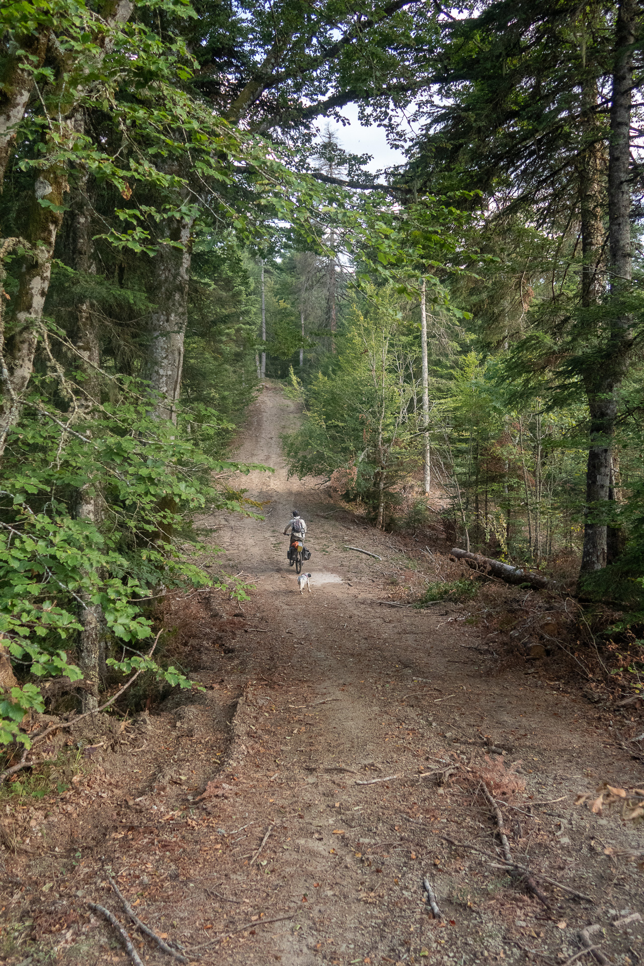
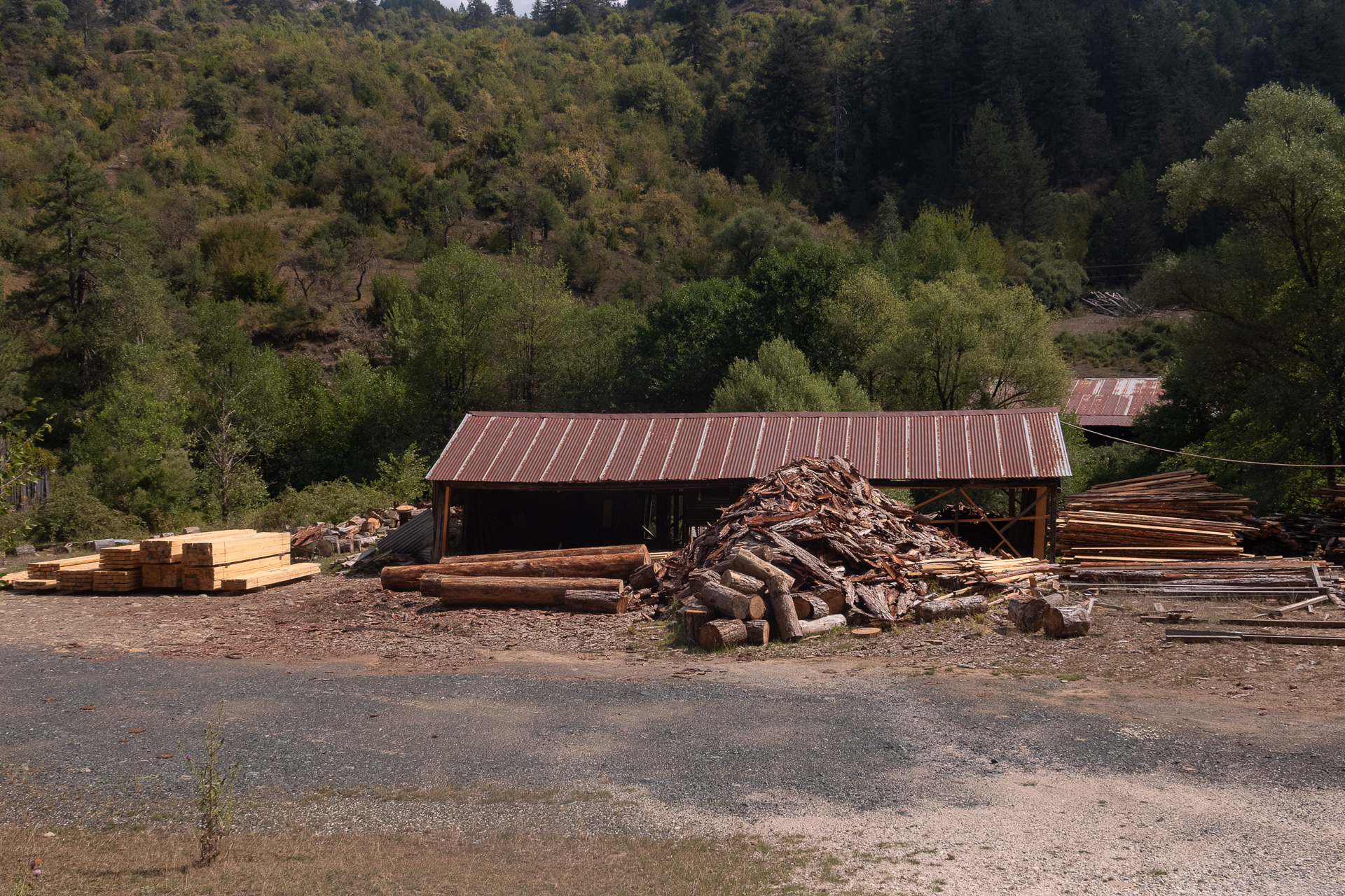
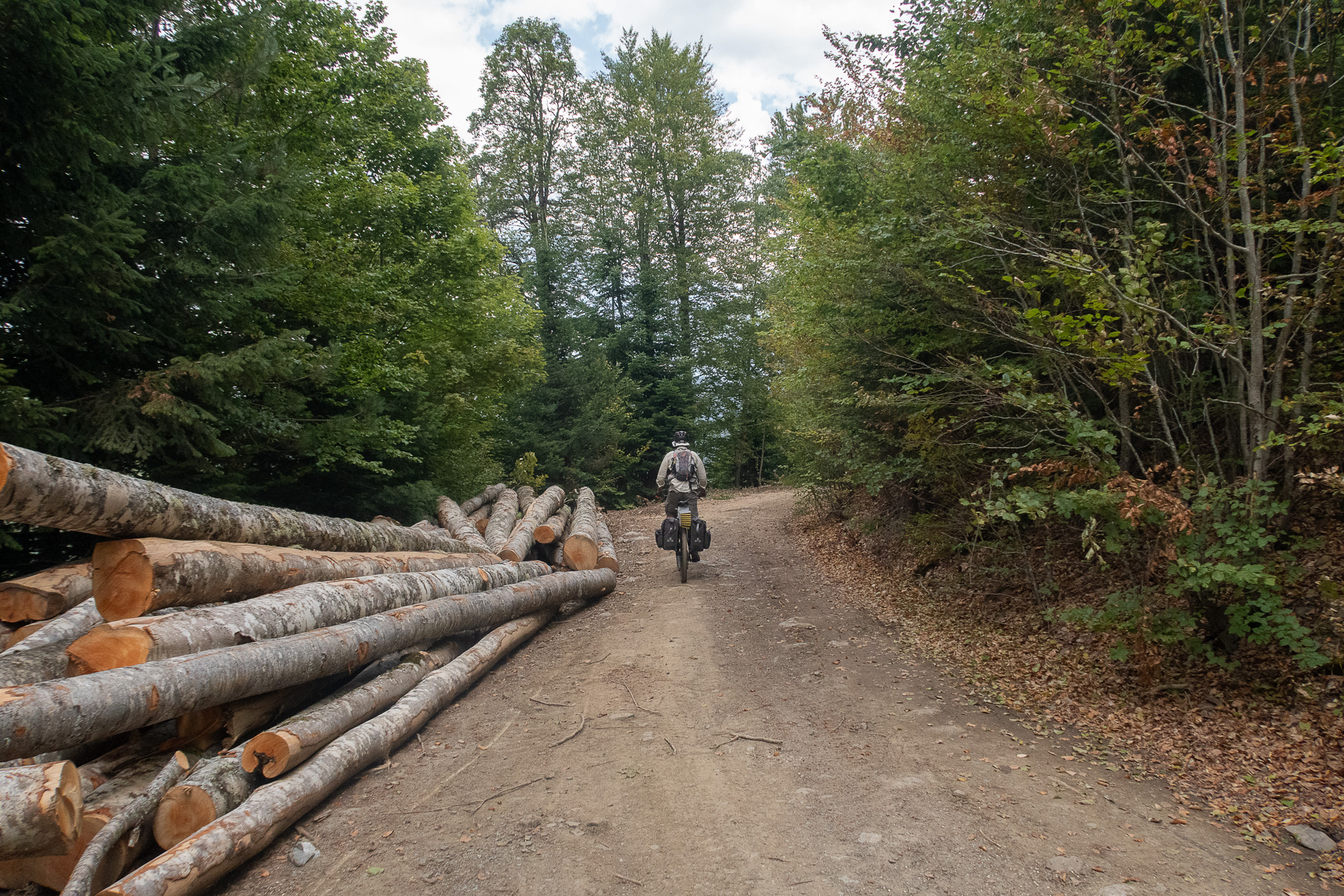
Sustainable logging has been practiced in the area for many decades, leaving behind a vast network of forestry roads through these magical forests — a perfect terrain for unforgettable mountain bike adventures. The proposed route offers a wonderful introduction to the area and can easily be extended to include a hiking excursion, such as the beautiful trail leading into the core of the Valia Kalda National Park or the more demanding ascent to the summit of Avgo.
ROUTE DESCRIPTION
Day 1: Gyftokampos – Makrino ( 29.3 km | ↑ 680 m – ↓ 870 m )
The route begins in Gyftokampos, at the bike-friendly guesthouse FREE INN ZAGORI, under the imposing cliffs of Eastern Tymfi. The first part follows the “main” dirt road connecting Gyftokampos with Makrino (also part of the Protect Aoos MTB race), before veering off into a labyrinth of secondary logging roads — surprisingly well maintained — climbing to a nameless summit at 1450 m, deep within dense beech forest.
Here, we almost had a head-on encounter with the famous brown bear, which fortunately retreated down the steep slope just in time. From this point, a delightful descent leads to the settlement of Kastanona, and the day ends on the deserted flat asphalt stretch to the village of Makrino, with constant southern views toward Mount Lakmos.
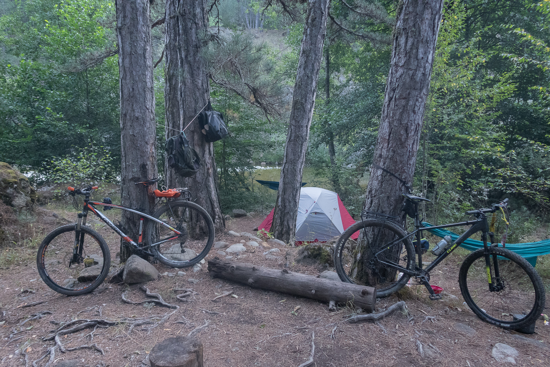
Overnight: camping under the welcoming porch of the village church.
Day 2: Makrino – Vovousa ( 30.2 km | ↑ 1390 m – ↓ 930 m )
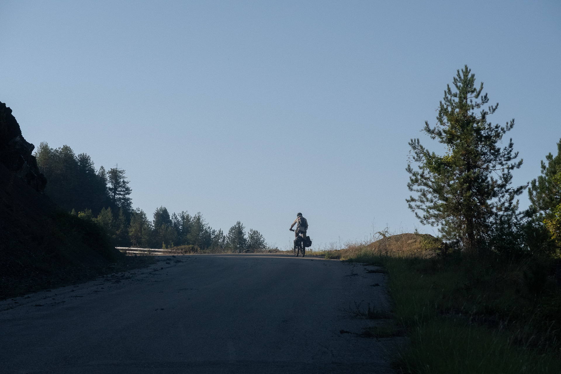
The second day starts with an uphill asphalt ride to Elatochori and the main road leading to Vovousa. In summer, it is wise to start early, as the southern orientation and lack of shade can make this climb taxing. From there, a long but steady, shaded ascent through black pine forest brings you to the spot known as Konismata at 1480 m.
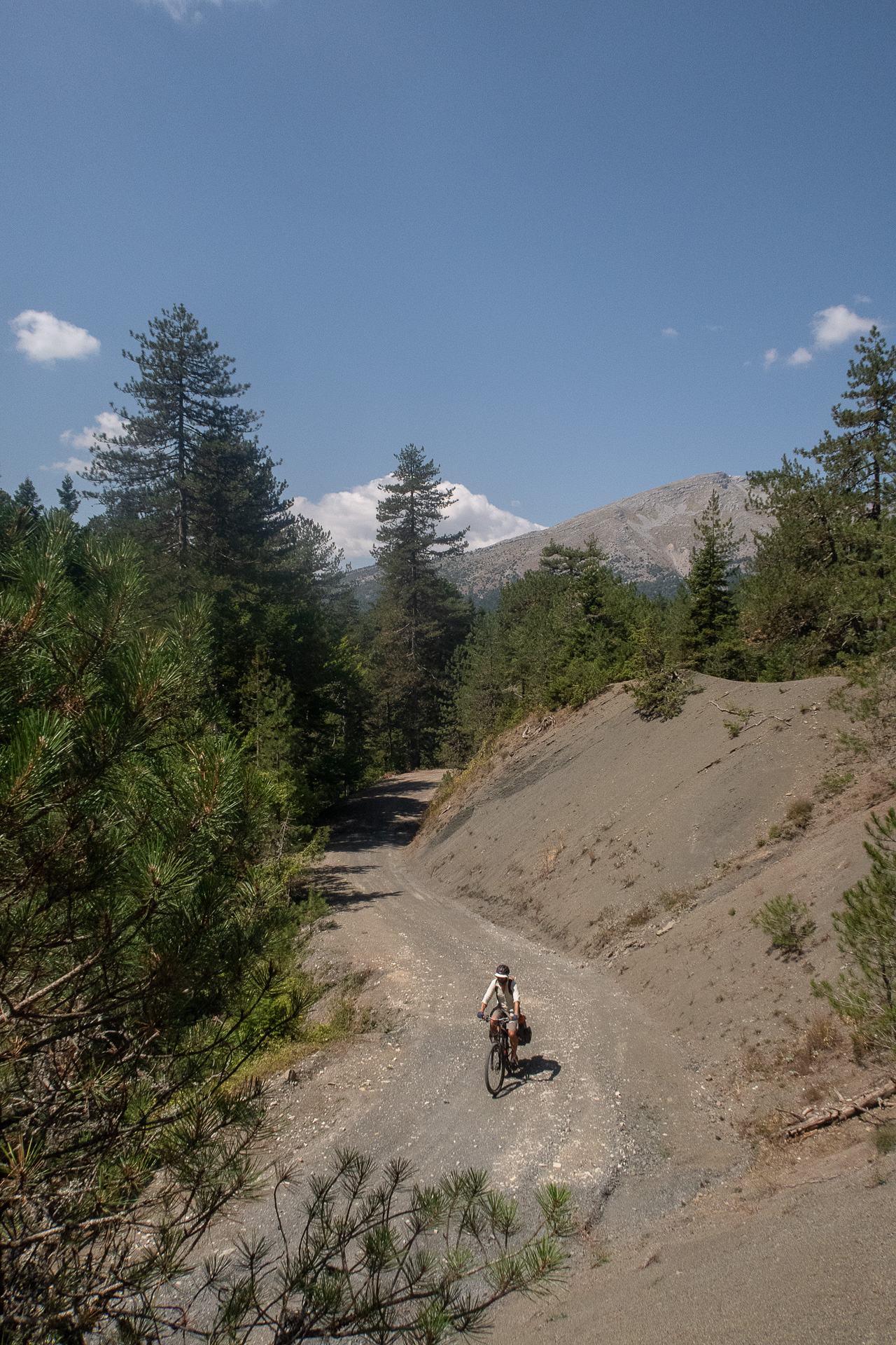
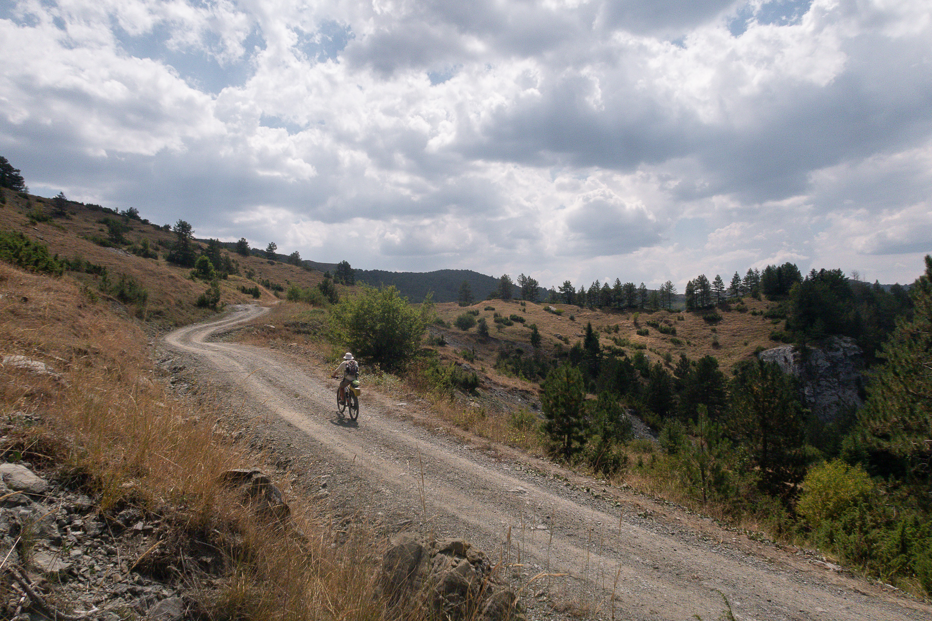
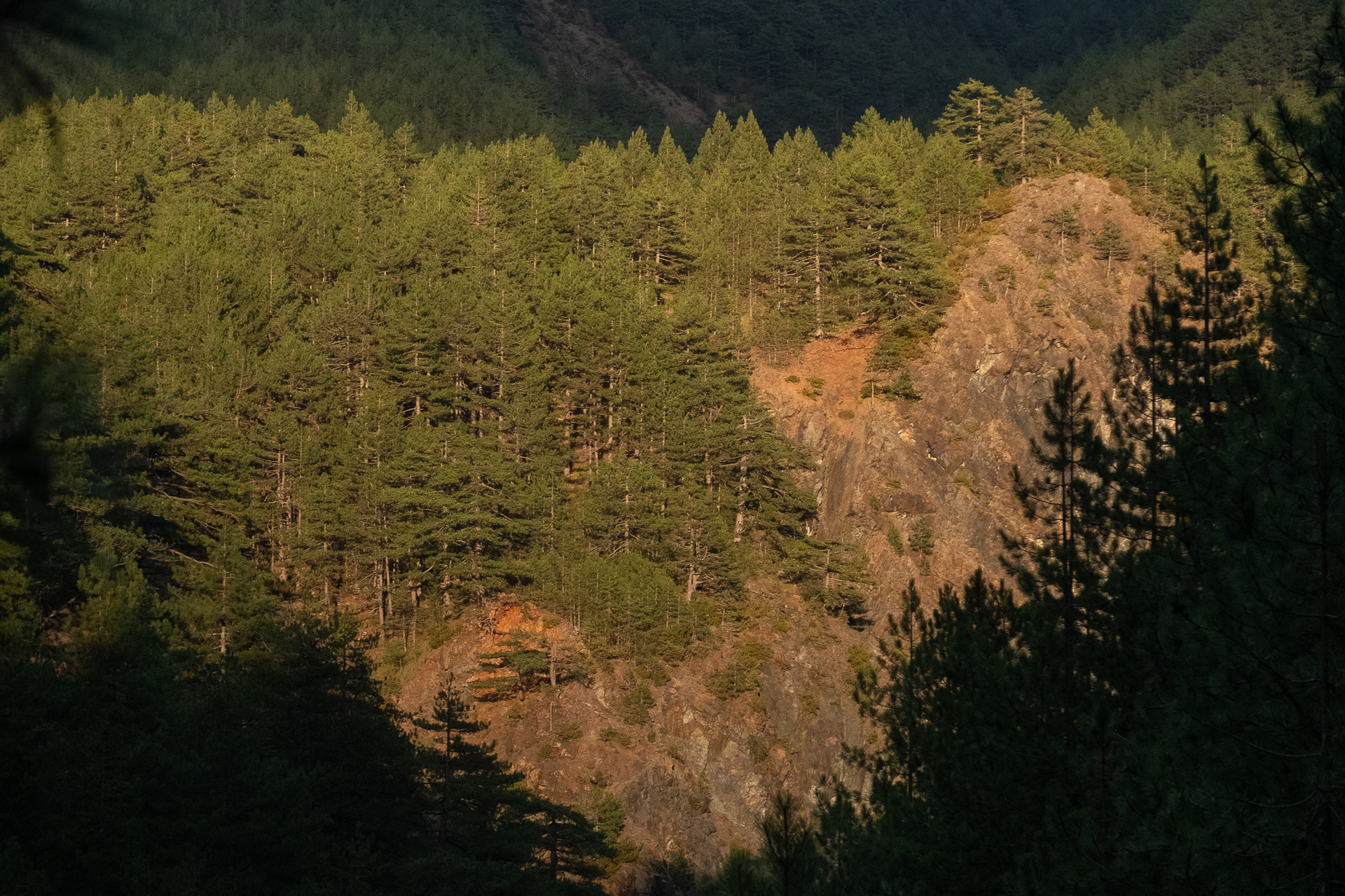
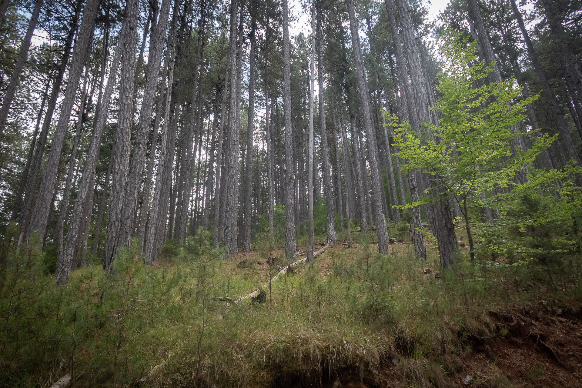
After a breath of mountain air, the fun begins! A well-maintained forest/logging road (also part of Protect Aoos MTB) takes you through gentle ups and downs to a clearing, where an abandoned, at times rough dirt road begins its dreamy descent. Through a stunning black pine forest, it drops to the Aoos River at Lakos tou Papa. This atmospheric section strongly recalls the mysterious Valia Kalda.
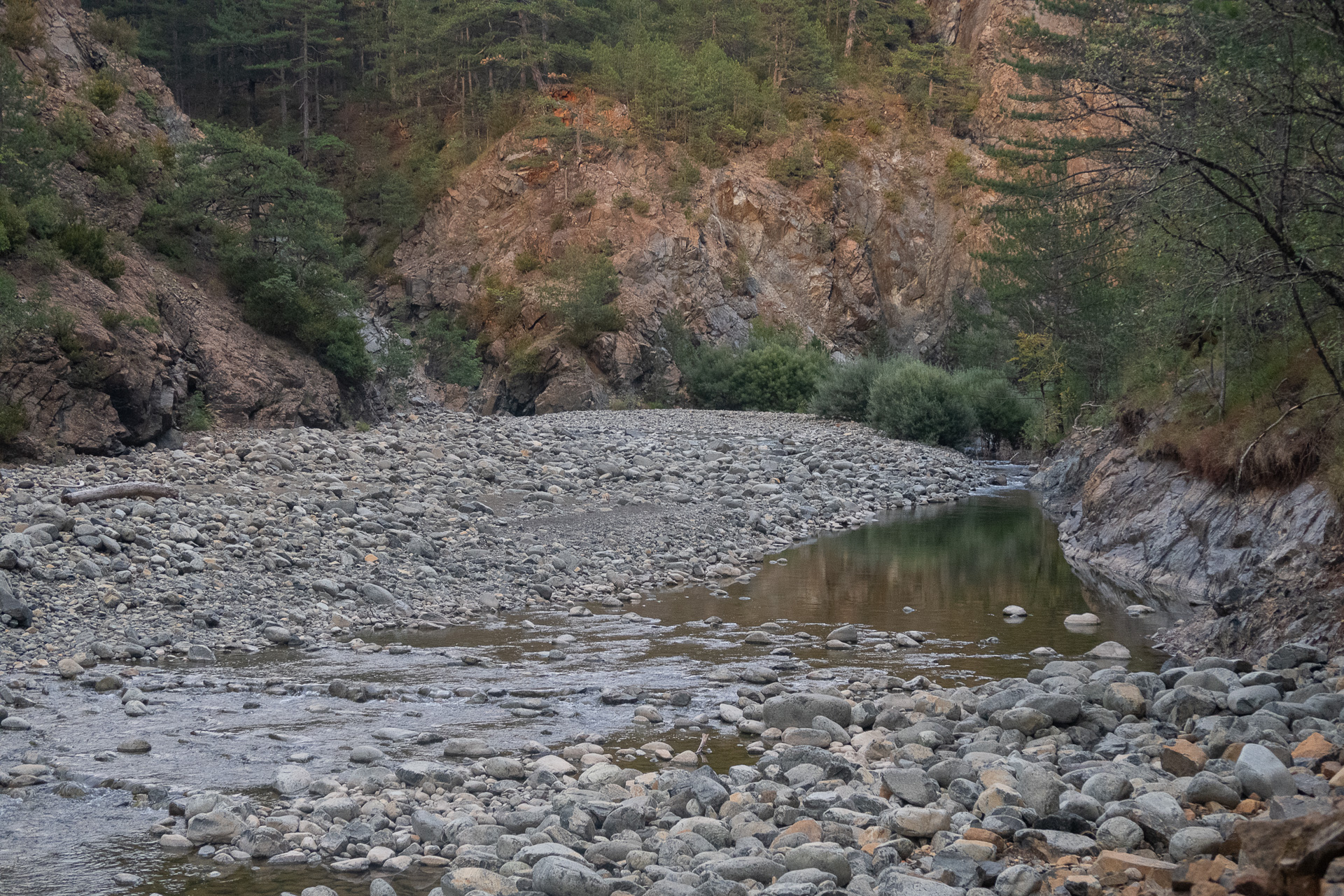
From here, a detour is well worth it: head to the meeting point of the Arkoudorema stream with the Aoos, in the location called Smixomata (a little extra biking plus some hiking). This is a perfect spot for swimming and rest. The route then follows the river downstream, first on dirt and then on a wide downhill asphalt road, all the way to Vovousa.
Overnight: camping or guesthouse stay in Vovousa.
Day 3: Vovousa – Gyftokampos ( 24.8 km | ↑ 860 m – ↓ 670 m )
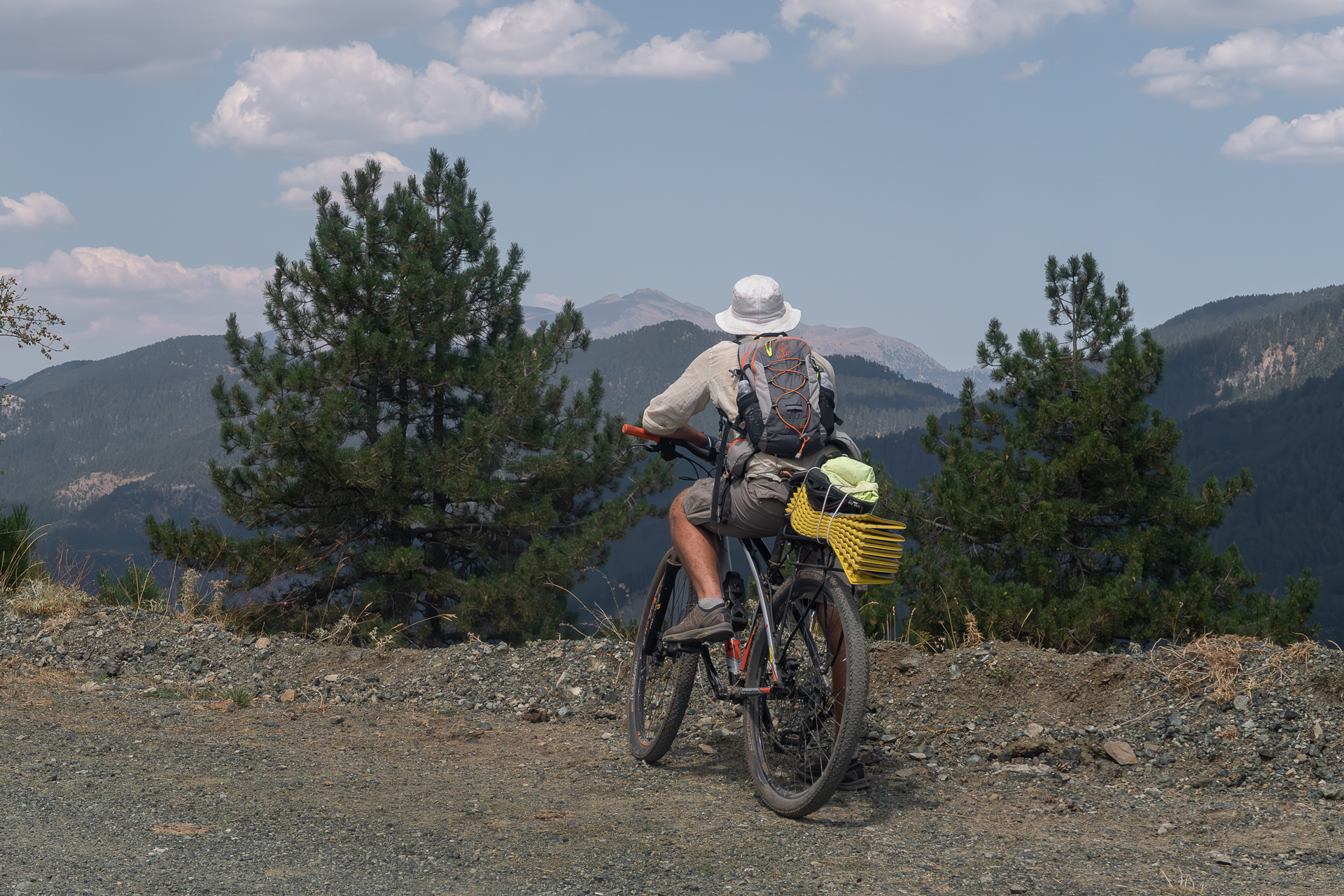
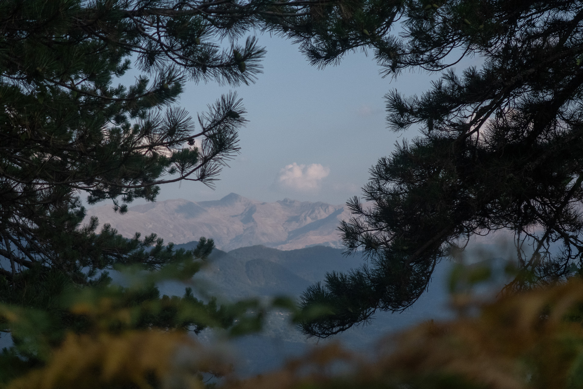
The last day follows the wide, well-packed dirt road connecting Vovousa with Gyftokampos, via the mountain mass of Morfa/Koukourountzos. The climb is long but steady and mild, quickly gaining elevation to reach the Morfa pass and the junction for Laista at 1500 m. The majestic Bosnian pines and endless views toward Smolikas and Tymfi lend a truly alpine character to the ride up to the highest point at 1600 m.
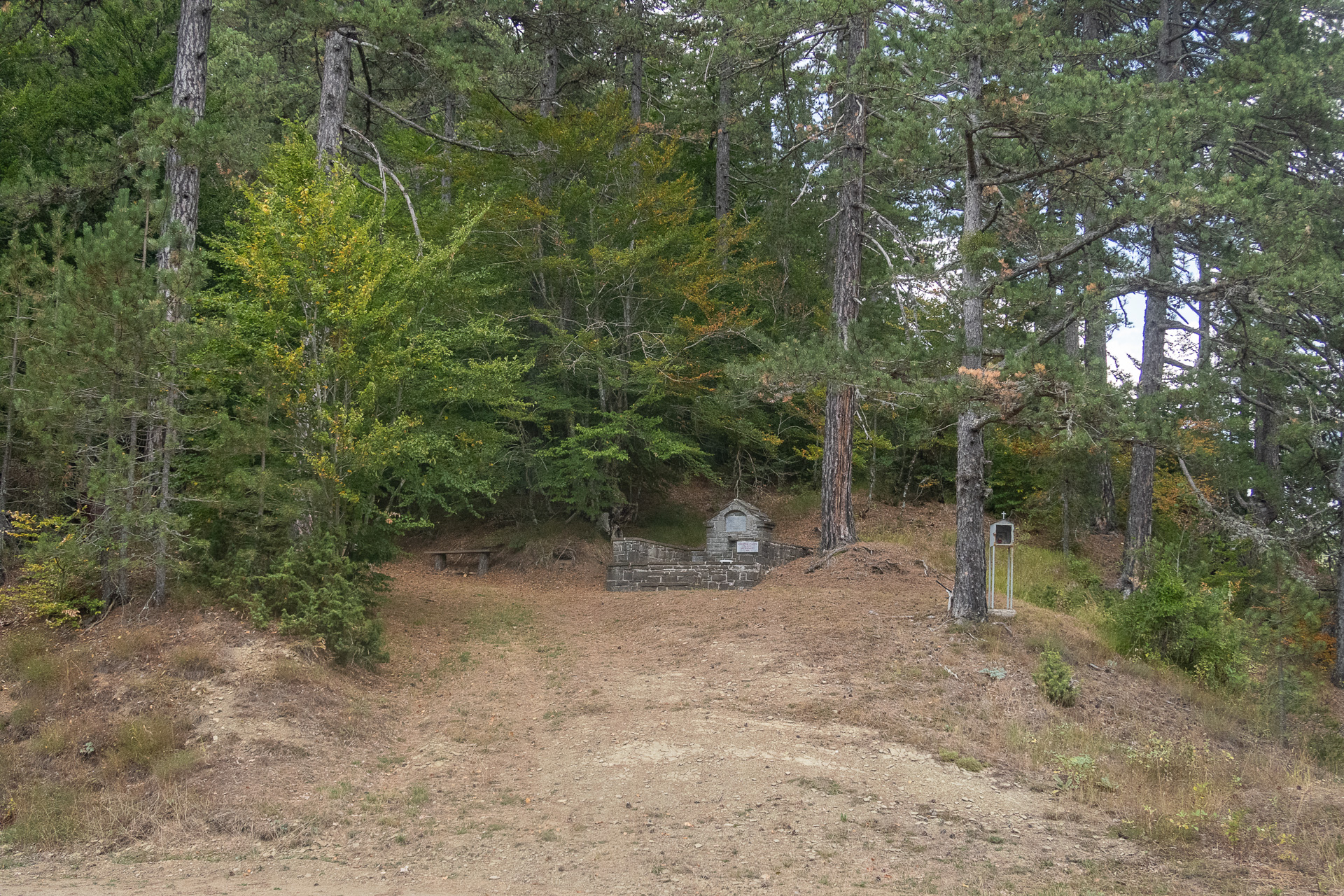
From here, the route rewards you with the final exhilarating descent through the forest, on gravel sections that require caution, down to Tsouka’s spring with its icy water. Soon after, you roll back into Gyftokampos and the FREE INN ZAGORI guesthouse, with a wide smile on your face.
83.8 km.
ROAD
DIRTROAD
BAD DIRTROAD
PATH
83.8 km.
ROAD
DIRTROAD
BAD DIRTROAD
PATH
ROAD
BAD DIRTROAD
DIRTROAD
PATH
GALLERY

- MORE INTERESTING INFOS
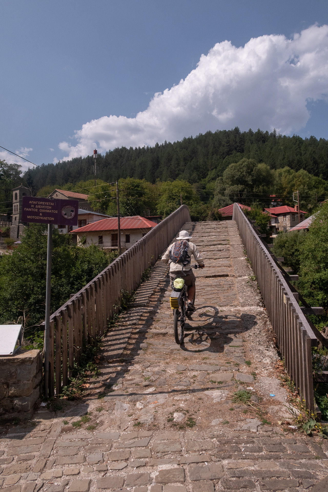
Built in 1748, this is one of the few remaining bridges still in use today, connecting the two neighborhoods of Vovousa across the Aoos River. Its construction was financed by Alexis Missios of Monodendri, as Vovousa was an important trade passage between Epirus and Thessaly. Indicatively, in 1817 the village had a population of 2,500 and hosted four inns serving passing caravans.
Geologically, this part of the Pindus range on either side of the Aoos (Smolikas, Vasilitsa, Avgo, Valia Kalda, Morfa) is dominated by ophiolites, with characteristic rocks such as serpentinized peridotite — glossy, green, and soap-like to the touch. On the surface, it often appears brown, hence the nickname “earth mountains.” In reality, it is solidified magma (lava) from the seabed of the Tethys Ocean (once the size of today’s Atlantic), which covered Greece millions of years ago. This oceanic crust was uplifted during the orogeny of the Pindus mountains due to tectonic subduction (the African plate beneath the Eurasian).
The “Warm Valley” — the magical Valia Kalda — is one of the most untouched, wildlife-rich, and stunningly beautiful areas in Greece.
For more information about its natural wealth, visit www.naturagraeca.com
ROAD BOOK
| Distance between points | Total distance | Description | |
|---|---|---|---|
| 0 | 0 |  |
Starting point: FREE INN ZAGORI guesthouse, on the Skamnelli–Vrysochori road toward Skamnelli |
| 0.5 | 0.5 |  |
Take the first dirt road left toward “Vovousa” |
| 1.1 | 1.6 |  |
At the first dirt road right, descend |
| 1.5 | 3.1 |  |
Left at the main dirt road encountered |
| 0.9 | 4.0 |  |
Continue straight, ignoring a left-hand dirt road |
| 2.0 | 6.3 |  |
At the fork, keep left uphill |
| 0.2 | 6.5 |  |
Continue straight, ignoring a left-hand dirt road |
| 0.7 | 7.2 | |
At the fork, keep right downhill
|
| 0.1 | 7.3 |  |
Straight through the col junction |
| 1.2 | 8.5 |  |
Continue straight, ignoring a right-hand dirt road |
| 1.3 | 9.8 | |
At the stream crossing, go left |
| 0.7 | 10.5 |  |
After the chapel of Panagia Makrini, take the first dirt road right at the col
|
| 1.3 | 11.8 | |
Continue straight through junction |
| 0.1 | 11.9 | |
Continue straight through junction |
| 4.3 | 16.2 | |
At a sharp right bend, turn left onto a steep uphill secondary dirt road into dense beech forest
|
| 0.5 | 16.7 | |
Left at the main dirt road |
| 1.0 | 17.7 | |
Left at junction — end of climb |
| 0.6 | 18.3 | |
Straight at junction at start of descent |
| 1.0 | 19.36 | |
Right at fork |
| 0.04 | 19.4 | |
Right at fork |
| 2.1 | 20.4 | |
Continue straight, ignoring a downhill dirt road on the right |
| 2.9 | 23.3 | |
At fork, keep left downhill
|
| 0.8 | 24.1 | |
At asphalt junction in Kastanona, turn left into the first houses |
| 5.2 | 29.3 |  |
Makrino: End of Day 1 |
| 2.8 | 32.1 |  |
Entering Elatochori, keep right at fork
|
| 0.6 | 32.7 |  |
At junction, right toward “Ioannina, Vovousa”
|
| 0.3 | 33.0 | |
Continue straight, ignoring road to “Tsouka Gina” |
| 0.9 | 33.9 |  |
Left onto main asphalt road toward “Vovousa” |
| 6.2 | 40.1 |  |
At Konismata pass, continue straight on asphalt |
| 1.9 | 42.0 | |
At second dirt road right, on a left hairpin turn |
| 4.7 | 46.7 |  |
At clearing, turn left downhill onto rough dirt road with rocks and water crossings |
| 4.8 | 51.5 | |
At junction, right toward “Smixomata (E6)” |
| 1.0 | 52.5 |  |
End of dirt road at clearing — follow E6 trail toward Smixomata |
| 1.7 | 54.2 | |
Return to previous junction, right toward “Vovousa (E6)” |
| 0.4 | 54.6 | |
Cross stream, left uphill at fork (right leads to Lakos tou Papa) |
| 1.0 | 55.6 | |
At asphalt junction, turn right |
| 2.6 | 58.2 | |
At Aoos iron bridge, turn right toward “Vovousa, Perivoli” |
| 0.7 | 58.9 | |
Vovousa Square: End of Day 2 |
| 0 | 58.9 | |
Start Day 3 from the square. Cross the stone bridge of Vovousa |
| 0.1 | 59.0 | |
Left at the cobbled path after the bridge |
| 0 | 59.0 |  |
Right at asphalt road |
| 0.6 | 59.6 | |
At fork, left toward “Gyftokampos” |
| 0.9 | 61.5 |  |
Continue straight for 1 km on main dirt road, ignoring secondary ones, until spring on left |
| 5.5 | 67.0 | |
Straight at junction |
| 1.4 | 68.4 |  |
Straight at ridge junction |
| 1.1 | 69.5 | |
Right at junction (ignore “forest road” left) |
| 0.8 | 70.3 | |
At junction, left toward “Gyftokampos” |
| 0.05 | 70.35 | |
Straight uphill |
| 0.15 | 73.5 |  |
Right downhill at fork |
| 3.4 | 76.9 | |
Straight uphill at junction (ignore “forest road” right), before Tsouka spring |
| 6.3 | 83.2 | |
Continue on main dirt road for several km, ignoring side roads, until asphalt junction |
| 6.3 | 83.2 | |
Right on asphalt |
| 0.6 | 83.8 | |
End of Route — FREE INN ZAGORI guesthouse |