
AMFIARAION – MAVROSOUVALA
KILOMETERS
DURATION
ELEVATION
PROPOSED SEASON
DIFFICULTY
PHYSICAL CONDITION
TECHNICAL DIFFICULTY
STARTING POINT
Author:
Γ. Κουτρώτσιος
Photos:
Β. Καραλάιος
A SACRED SLEEPING SANCTUARY AND A PRISTINE FOREST
A route introducing the untouched forest of Mavrosouvála, the unique Kalamos waterfall with its deep basin, and the renowned sanctuary of Amphiaraion, dedicated to the deified hero and seer-healer Amphiaraos, who was swallowed by the earth and emerged from a spring that still flows today!
INTRODUCTION
The area between Markopoulo Oropos, Kalamos, and Malakasa encompasses a large pine forest, known as the “Mavrosouvála Forest.” Its name comes from gypsum mines (in Arvanitic, “souvala” means gypsum), which operated here from the late 19th century until World War II, producing charcoal and black gypsum.
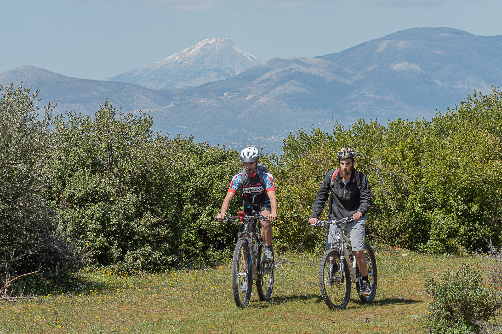
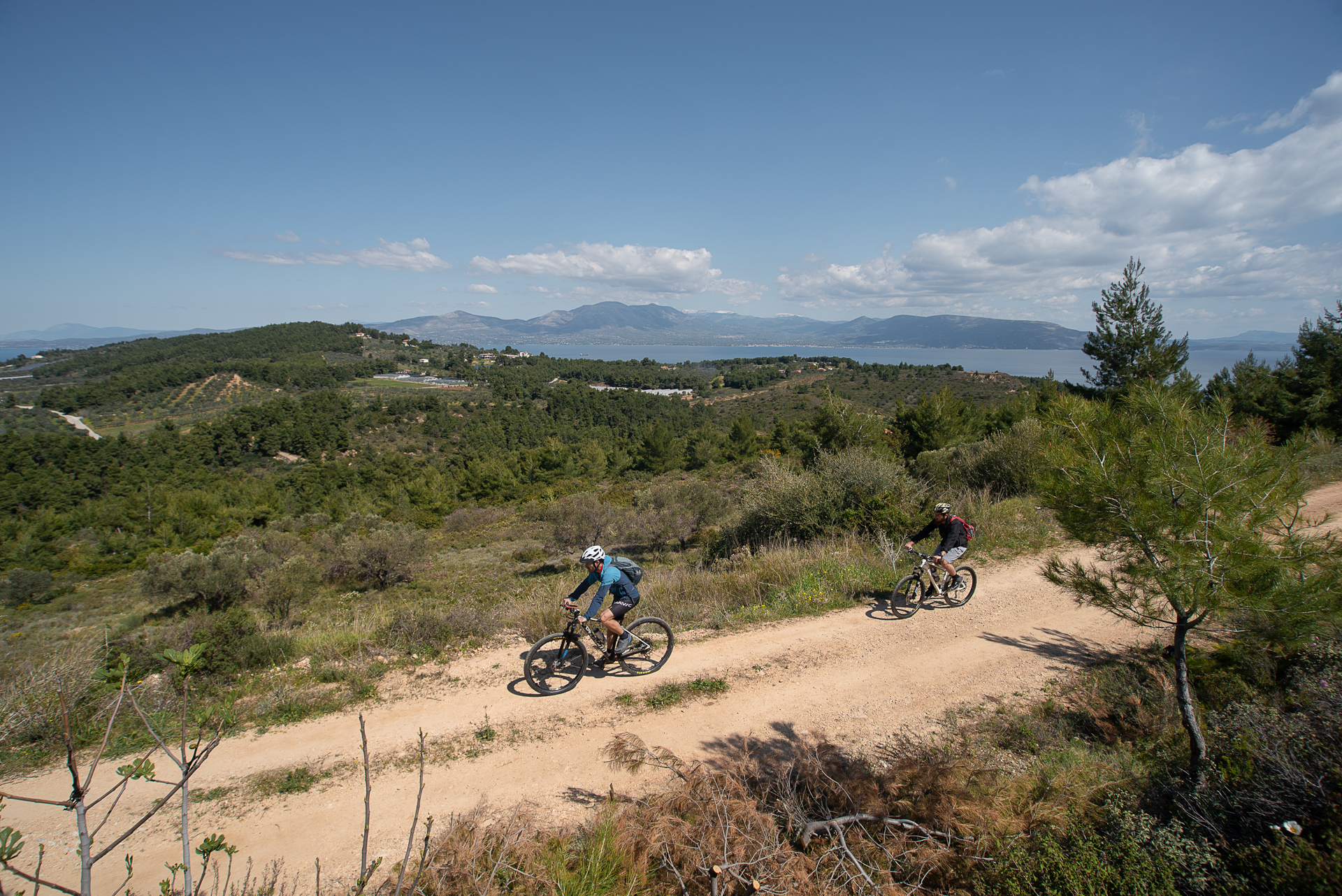
A dense network of dirt roads has been carved into the area, ideal for cycling exploration throughout the year. Along the route, the trail passes through lush slopes and surprises, including a hidden waterfall with a large basin for a magical dip, the distinctive Technological Museum “Phaethon,” and the beautiful archaeological site of Amphiaraion, dedicated to the chthonic god Amphiaraos.
This “gentleman” was born in Argos, son of Oicles and Hypermnistra, and grandson of Melampus, the first seer and psychotherapist of the ancient world. In his youth, Amphiaraos took part in the Argonautic Expedition and the Calydonian Boar hunt, eventually claiming the throne of Argos.
Avoiding distractions and unknown young women, he married his sister Eriphyle. When the Argive expedition against Thebes was decided to claim a kingdom that did not belong to them, Amphiaraos foresaw the injustice, predicted defeat, and refused to participate. Yet, the cunning Eriphyle tricked him into joining. As he predicted, the battle was lost. Just before receiving a deadly blow, Zeus struck with lightning, opened a great chasm, and the hero escaped! Zeus, famous for his generosity, granted him immortality and made him a prophet, a rare honor for a mortal. Among the twelve sanctuaries dedicated to him in classical times, the Amphiaraion of Oropos was the most significant.
ROUTE DESCRIPTION
The starting point is the Church of Saint Athanasios in the center of Markopoulo Oropos. The route heads north toward Skala Oropos and then east toward Kalamos. After visiting Amphiaraion, the route enters the heart of the forest, passes the tallest waterfall in Attica, and reaches the Technological Museum “Phaethon.”
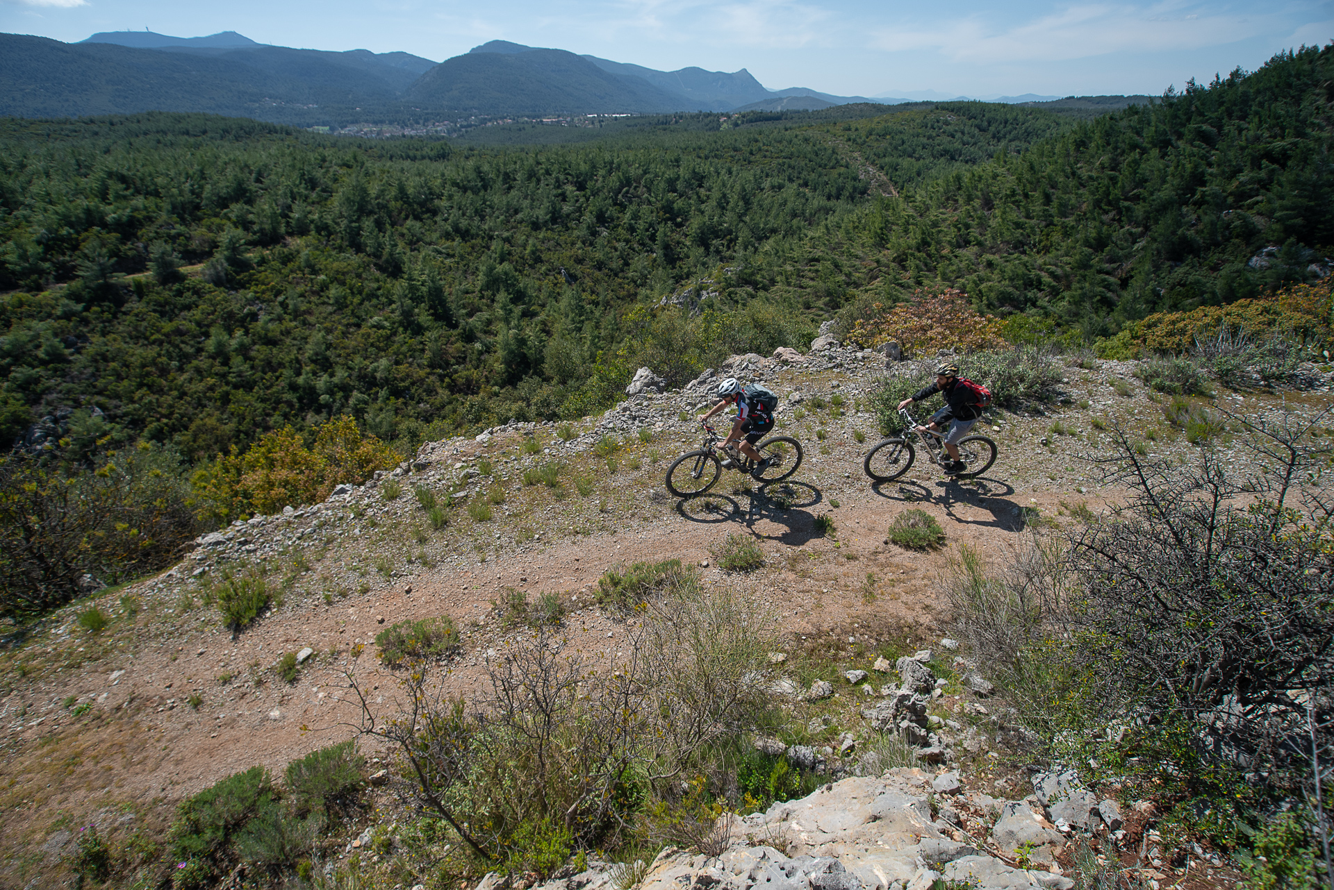
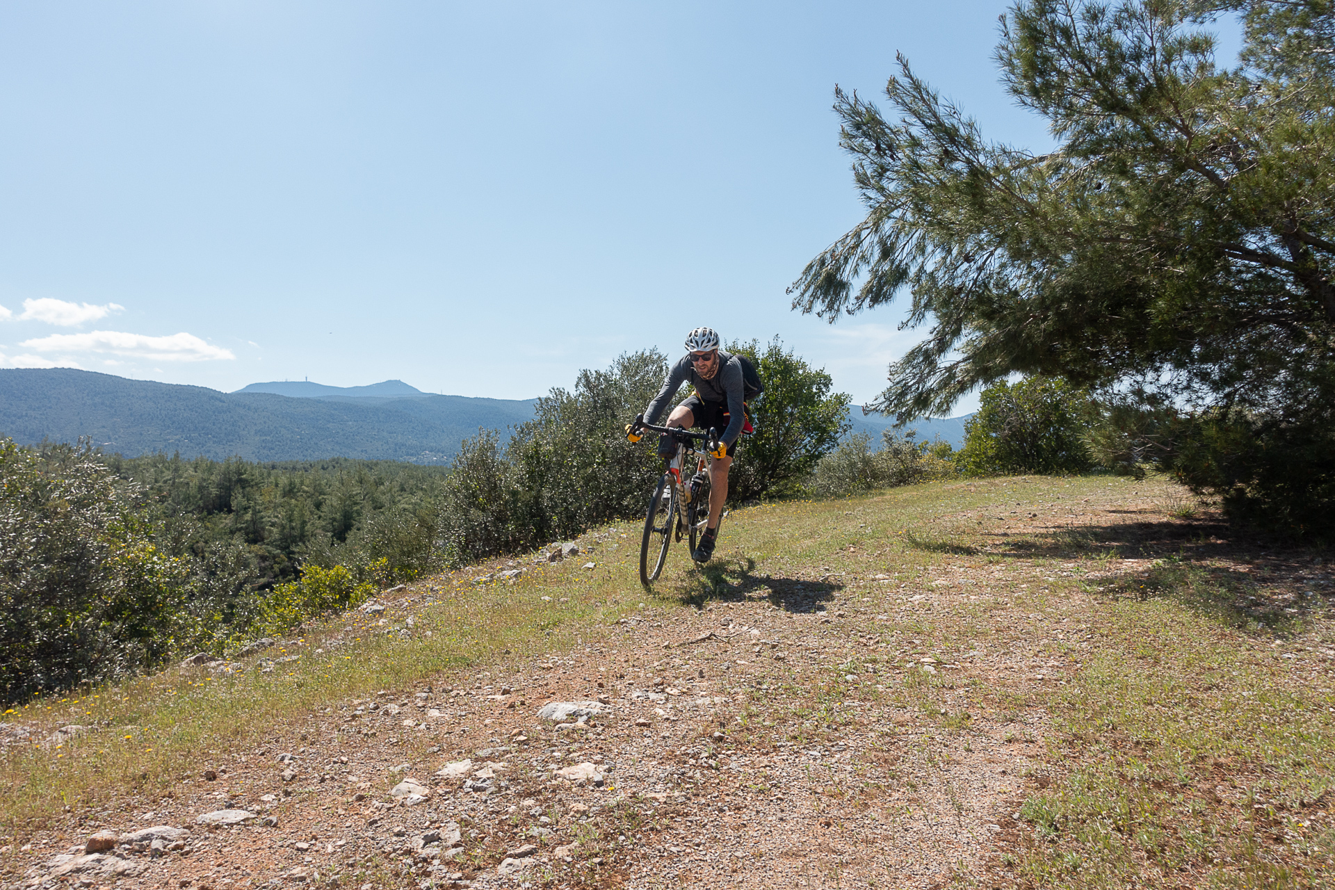
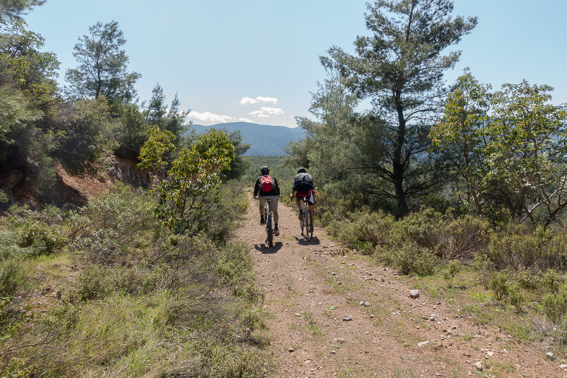
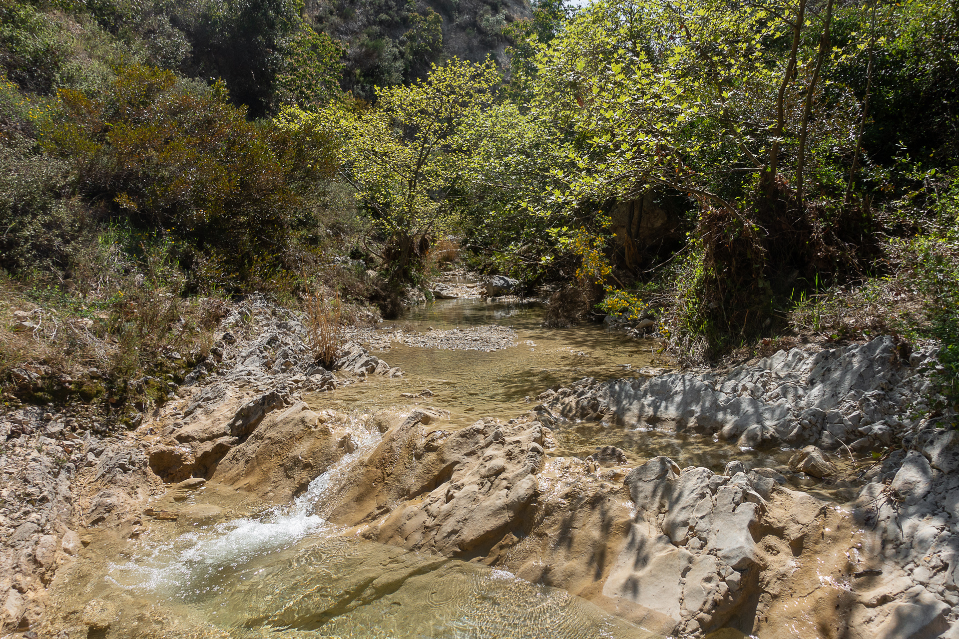
This lesser-known museum hosts notable collections, including classic cars and clocks. The route continues along one of the most beautiful dirt roads in Attica, passable yet overgrown, with stunning views of Dirfys, leading to the stream and impressive rocks of Mavrosouvála.
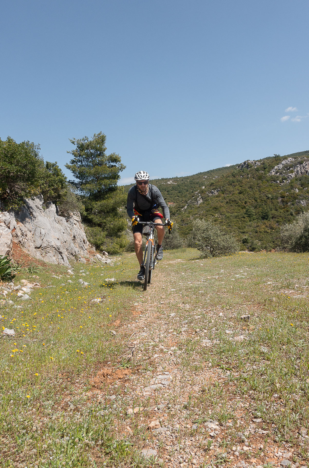
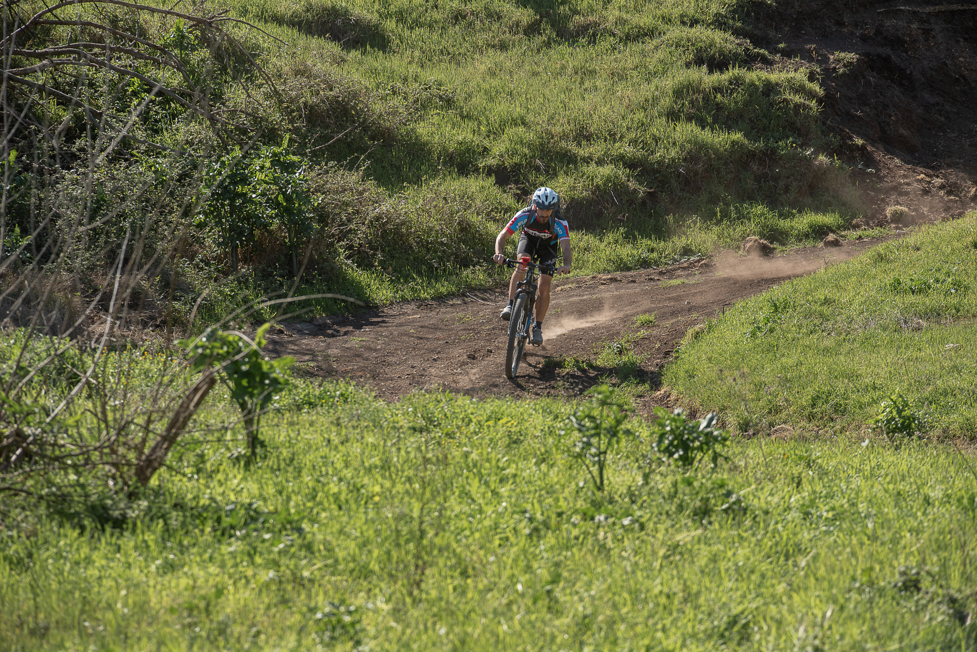
In the final kilometers, the dirt road passes through the settlement of Agia Varvara and ends at Neo Livyssio, with a final uphill paved section returning to the starting point. The dirt roads are navigable (except for a steep initial descent), particularly scenic in the second half, while the steepest climbs are paved. The route does not require advanced technical skills.
31.1 km.
ROAD
DIRTROAD
BAD DIRTROAD
PATH
31.1 km.
ROAD
DIRTROAD
BAD DIRTROAD
PATH
ROAD
BAD DIRTROAD
DIRTROAD
PATH
GALLERY
- POINTS OF INTEREST
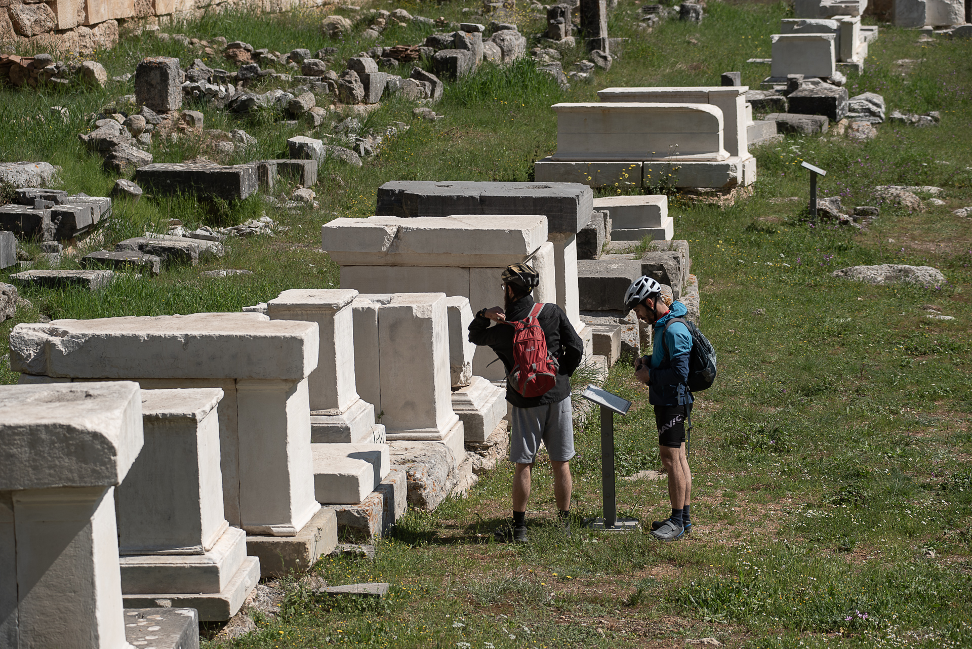
Amphiaraion was a sacred sanctuary and oracle dedicated to the mythical hero, seer, and healer Amphiaraos. The site hosted an oracle and a healing center and the Great Amphiaraia festival, held every four years, featuring musical, theatrical, and athletic competitions (the stadium has not been discovered).
The most remarkable monument is a hydraulic clock (clepsydra), a small well measuring time as water slowly drained through a hole at the bottom. The Roman-era bathing facilities, used for ritual cleansing, were so sophisticated they rival modern spa centers. Visitors could enjoy cold, lukewarm, or hot baths, and even steam baths.
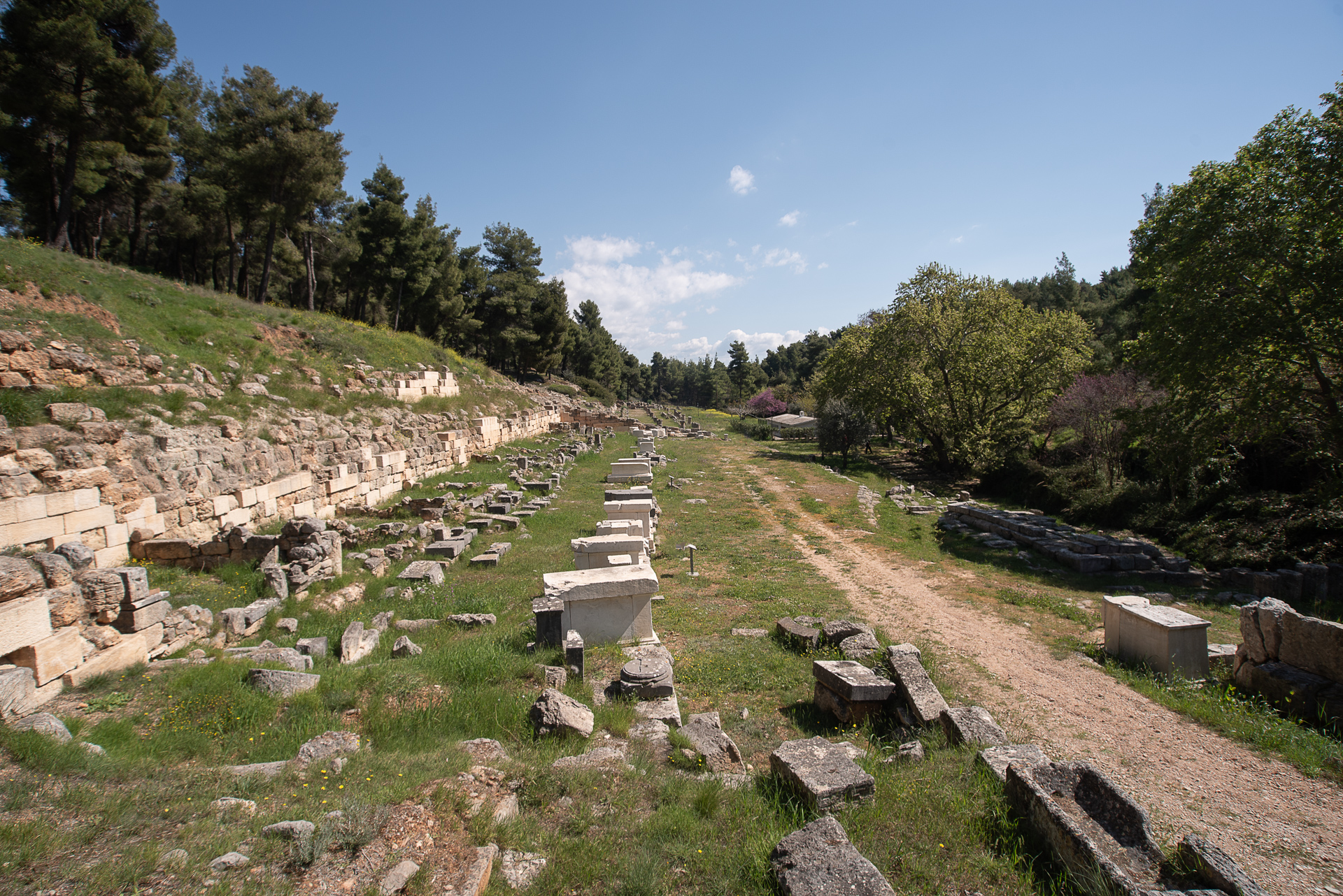
Besides the main temple of the 4th century BC and a marble theater seating 3,000–4,000 spectators, south of the altar flows the sacred spring where, according to legend, Amphiaraos emerged. Pilgrims were forbidden to drink its water but could toss gold or silver coins, a tradition later adopted by Christian priests. Another notable structure is the 110-meter-long stoa – a dormitory – with 49 Doric columns on the facade and 17 Ionic columns inside.
Pilgrims paid a fee, rested in guesthouses, and began therapy the next day with a three-day wine fast and one day without food. Those undergoing sleep divination (enkoimisi) received special care for a fee: a ram was sacrificed, and the supplicant slept on its fresh hide, awaiting divine guidance in dreams. After treatment, votive offerings—clay, marble, or silver replicas of body parts—were left in thanks. Over time, precious silver was melted for new religious objects. The fate of these votive offerings remains unknown.
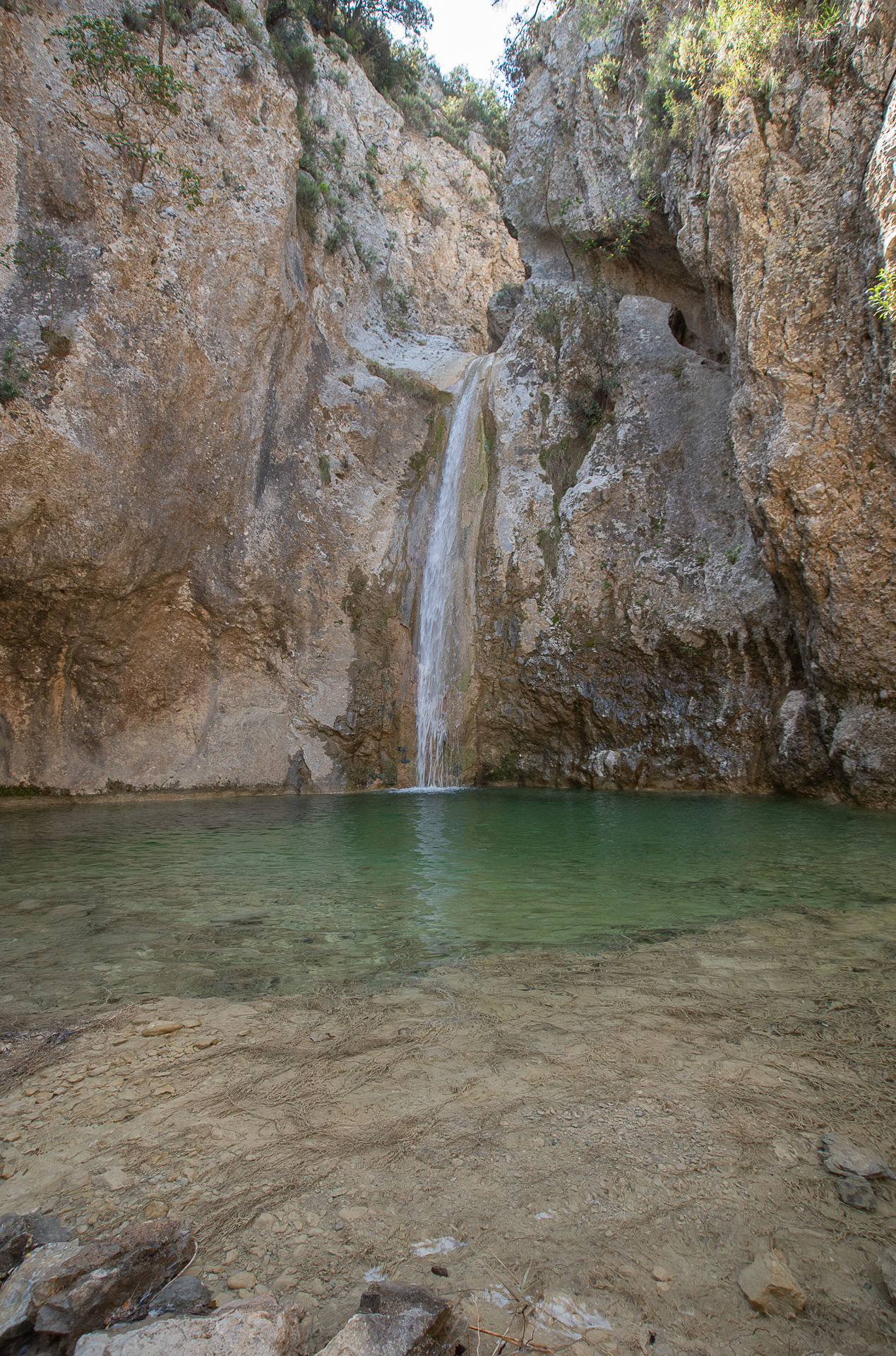
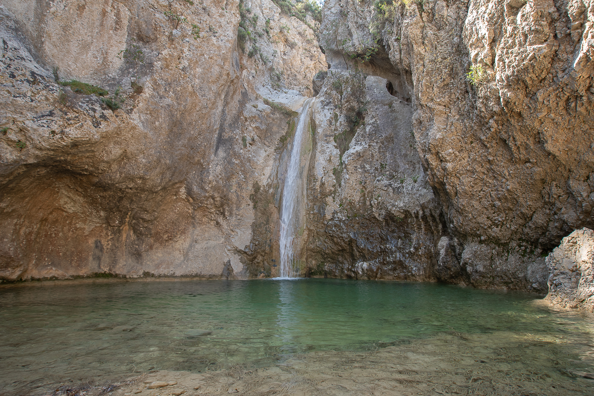
Kalamos Waterfall is the tallest in Attica, forming a large cold-water basin, ideal for summer swimming. Cycling access is impossible; bikes must be left at the trailhead. The path is steep, slippery, and potentially dangerous for those without hiking experience.
Access: At 9.4 km from the start (12th row in the roadbook), turn right, cross the stream, climb slightly, and continue straight through the olive field, ignoring the road left. At the field’s lowest point, on the right, the faint trail leads to the stream, and following it against the water flow (right), you reach the waterfall.
Note: The distance to the waterfall is not included in the total route length.
A museum celebrating technological progress and human achievements in automotive engineering, communication, and timekeeping. Notable exhibits include classic cars and clocks.
ROAD BOOK
| Distance between points | Total distance | Description | |
|---|---|---|---|
| 0 | 0 |  |
Starting point: Church of Saint Athanasios, center of Markopoulo Oropos. Head NW downhill toward Oropos. |
| 0.5 | 0.5 |  |
Right onto the dirt road immediately after the pharmacy. |
| 0.2 | 0.7 |  |
At the end of the paved road, straight onto a dirt road. |
| 0.3 | 1.0 |  |
At the end of the dirt road, left onto I. Kapodistrias Street. |
| 0.2 | 1.2 |  |
At the end of the paved road, straight at the intersection – CAUTION: steep descent follows. |
| 1.6 | 2.8 |  |
At the basketball courts, right onto paved road. |
| 0.0 | 2.8 |  |
Immediately after, right at the fork onto Andritsainas Street. |
| 1.0 | 3.8 | |
At the end of the road, at the fork, right onto uphill cement road. |
| 2.0 | 5.8 | |
Left onto the main paved road. |
| 0.9 | 6.7 | |
After Amphiaraion, at the uphill section, right onto the first dirt road. |
| 1.5 | 8.2 | |
At the next intersection, straight. |
| 1.2 | 9.4 |  |
At the next dirt road, right diagonally backward toward Kalamos waterfall. Return to this point and continue straight. |
| 0.5 | 9.9 | |
Straight at the intersection. |
| 0.7 | 10.6 | |
At the end of the climb, right onto paved road. |
| 2.9 | 13.5 | |
Right onto main Athens-Oropos road. |
| 0.2 | 13.7 |  |
Left onto the first dirt road after the Phaethon Museum. |
| 1.6 | 15.3 |  |
Ignore the dirt road on the right, continue straight. |
| 0.0 | 15.3 | |
At the fork, right downhill toward motocross track. |
| 0.5 | 15.8 | |
On paved road, left uphill. |
| 0.7 | 16.5 | |
On the second dirt road (very close to the first), right. |
| 0.6 | 17.1 | |
At the first fork, right (straight, not uphill left). |
| 2.2 | 19.3 |  |
At the second fork, left. |
| 1.5 | 20.8 | |
On the wide, passable dirt road, left. |
| 0.7 | 21.5 | |
Left onto the road with the characteristic cement reservoir. |
| 0.1 | 21.6 | |
At the second cement reservoir, right at the fork. |
| 0.9 | 22.5 |  |
After the stream, at the first road, diagonal right, slightly downhill. |
| 1.6 | 24.1 | |
At the second settlement, at the Church of Agia Varvara, left. |
| 0.8 | 24.9 | |
At the end of the climb, diagonal right onto dirt road. |
| 1.1 | 26.0 | |
Straight at the intersection. |
| 1.6 | 27.6 | |
At the end of the dirt road, right onto paved road. |
| 0.1 | 27.7 | |
Left at the fork toward the small bridge. |
| 0.1 | 27.8 |  |
Slightly further, straight (right) at the fork. |
| 2.0 | 29.8 | |
After Neo Levyssio, on the main paved road, straight ahead back to the starting point. |