

WESTERN HYMETTUS
KILOMETERS
DURATION
ELEVATION
PROPOSED SEASON
DIFFICULTY
PHYSICAL CONDITION
TECHNICAL DIFFICULTY
STARTING POINT
Author:
G. Koutrotsios
Photos:
V. Karalaios
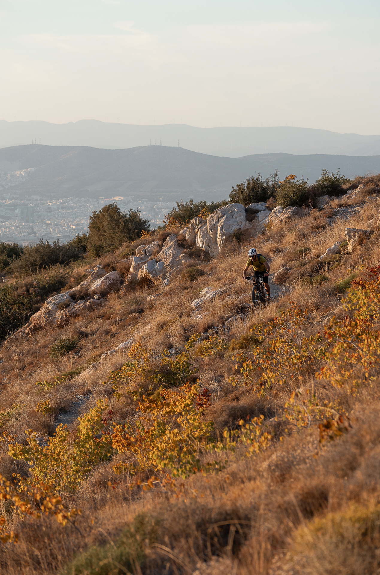
Before taking on the long rides, it’s best to get comfortable with the shorter ones. This so-called “short” route combines accessible dirt roads with moderately difficult trails, offering a beautiful ride along the western slopes of Mount Hymettus. Very few cyclists choose this area for rides or training, making it ideal for those who wish to enjoy a quiet ride away from the crowds of the mountain’s central part.
INTRODUCTION
Mount Hymettus is the closest mountain range to the center of Athens and the most popular destination for the capital’s cyclists. It has an elongated shape, stretching 23 km in length and 4–6 km in width, oriented north to south, forming the natural boundary between the basins of Attica and Mesogeia. Its highest peak is Evzonas, at 1,026 meters above sea level, adorned with just as many antennas! Due to its proximity to Athens, it attracts a wide variety of visitors for cycling, trail running, hiking, climbing, or simply for a relaxing walk.
In addition to the main asphalt road that starts from Kaisariani and reaches the summit, there is a dense network of dirt roads and trails, ideal for mountain biking. Moreover, 14 marked hiking trails (numbered) and many more unmarked ones await the more adventurous cyclists. MTB-Greece presents routes of varying levels of difficulty, covering almost the entire mountain. Numerous possible variations exist, which—with the help of maps and a spirit of exploration—can be modified and tailored to the preferences of each rider.
Name: One possible origin of the name is from the Greek word thymos (thyme), which over time was altered to Thymet – Hymet – Hymettus. In ancient times, the word thymous was used to describe the many shrubs (low bushes) that still thrive on the mountain today, attracting bees with their strong aromas and making them swirl as if intoxicated. From this phenomenon—the “madness of the bees”—may derive the name “Trelos” (“Crazy”), which was the mountain’s old name. Another interpretation is that the name “Trelos” comes from a distortion of foreign travelers’ description “très long” (very long), referring to the mountain’s elongated shape.
Historical notes: Due to its particularly favorable bioclimatic conditions, the area has been inhabited since prehistoric times. In antiquity, during Athens’ peak, Hymettus was a center of worship for the ancient gods, as well as a place of health thanks to its springs with therapeutic properties. Herodotus mentions the existence of several settlements such as Sphittos, Pira, and Aixone. During the Byzantine era, ancient temples provided building materials for Christian churches such as the Monastery of Kaisariani and Asteriou. These monasteries remained active through the Frankish and Ottoman periods. Their decline was mainly due to King Otto’s regency and the decree that closed monasteries with fewer than six monks.
In the early 20th century, Western Hymettus, up to Kaisariani, was not used as pastureland but rather for military and state installations. The pine-covered area was declared reforestable in 1917, a plan never realized, as the Asia Minor Catastrophe of 1922 brought a massive influx of refugees, many of whom settled in these areas.
Biodiversity: Today, only a small part of the pine forest that once covered large areas of Hymettus remains. Most of the mountain is now covered by low shrubs and herbaceous vegetation. Over 600 species and subspecies of plants are found here, including 54 endemic species of Greece—a remarkable number considering the mountain’s size. Among them are 44 protected orchid species, whose density is considered the highest in Europe relative to the mountain’s area (for more information, see the article on Hymettus orchids).
Mammals are relatively few and include foxes, weasels, hares, rodents, and several bat species inhabiting the numerous caves. In contrast, the birdlife is especially rich, with more than 130 species recorded on Hymettus. The island partridge is permanently present, while larger raptors and scavengers such as the short-toed eagle and griffon vulture occasionally appear. Among reptiles, notable species include the Mediterranean and Hermann’s tortoise, as well as the four-lined snake, viper, and house snake.


ROUTE DESCRIPTION
The route starts at the Monastery of St. John in Kareas. The first 7.5 km are easy, mostly downhill dirt roads, with a short trail section of local technical difficulty at its beginning. The second half of the route includes climbs with a total elevation gain of 350 m, followed by a little-known 1 km trail that leads back to the starting point.

14.7 km.
ROAD
DIRTROAD
BAD DIRTROAD
PATH
14.7 km.
ROAD
DIRTROAD
BAD DIRTROAD
PATH
ROAD
BAD DIRTROAD
DIRTROAD
PATH
GALLERY


ROAD BOOK
| Distance between points | Total distance | Description | |
|---|---|---|---|
| 0 | 0 |  |
Start: Monastery of St. John in Kareas. Head south on the dirt road starting from the monastery’s parking area. |
| 0.6 | 0.6 |  |
At the fire-fighting reservoir, go diagonally right onto a trail (just left of the reservoir). |
| 0.5 | 1.1 |  |
At the end of the trail, left onto dirt road. |
| 0.2 | 1.3 |  |
Below the dam, go straight uphill. |
| 0.1 | 1.4 | |
At the end of the first climb, diagonally right onto a trail. |
| 0.6 | 2.0 |  |
At the fork of the trail, left – uphill. |
| 0.1 | 2.1 | |
At the end of the trail, left onto dirt road. |
| 0.2 | 2.3 |  |
Ignore a road perpendicular right, and at the end of the climb, turn right onto a more passable dirt road. |
| 0.7 | 3.0 |  |
At the junction, continue straight. |
| 2.0 | 4.3 | |
Αt the fork just after the fire-fighting reservoir, left. |
| 1.0 | 5.3 |  |
At the intersection with the bench, choose the rightmost of the three roads. |
| 1.1 | 6.4 | |
At the large hairpin, right – downhill. |
| 0.5 | 6.9 |  |
Ignore a road diagonally left backward. |
| 0.1 | 7.0 |  |
Ignore a road diagonally right backward. |
| 0.3 | 7.3 | |
At the abandoned buildings, left – downhill. |
| 0.05 | 7.3 |  |
Immediately after the stone structure of the old quarry, right onto the road with the barrier. |
| 0.6 | 7.9 | |
At the first fork, left – uphill. |
| 0.3 | 8.2 | |
At the second fork, right – uphill. |
| 0.6 | 8.8 | |
At the end of the climb, left onto the main dirt road toward Ilioupoli. |
| 1.2 | 10.0 | |
At the junction, continue straight. |
| 0.7 | 10.7 | |
At the fork with the wooden bench, right. |
| 0.3 | 11.0 |  |
At the rectangular SPAY water tank, go right diagonally backward. |
| 1.0 | 12.0 | |
Ignore a road diagonally right backward. |
| 1.3 | 13.3 |  |
Left diagonally downhill onto the wide trail below the rocks with the painted flags. |
| 0.1 | 13.4 | |
At the first fork of the trail, right onto the narrower trail. |
| 0.7 | 14.1 | |
At the junction of the trails, by the characteristic olive tree, choose the middle of the three trails, which leads back to the starting point. |