
PENTELI
KILOMETERS
DURATION
ELEVATION
PROPOSED SEASON
DIFFICULTY
PHYSICAL CONDITION
TECHNICAL DIFFICULTY
STARTING POINT
Author:
G. Koutrotsios
Photos:
G. Koutrotsios
The Adventurous Circuit of Penteli
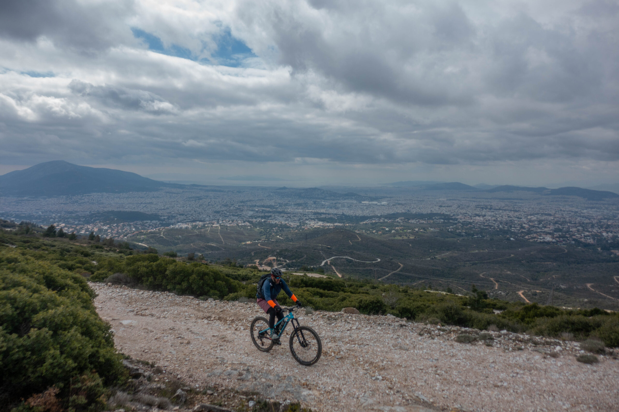
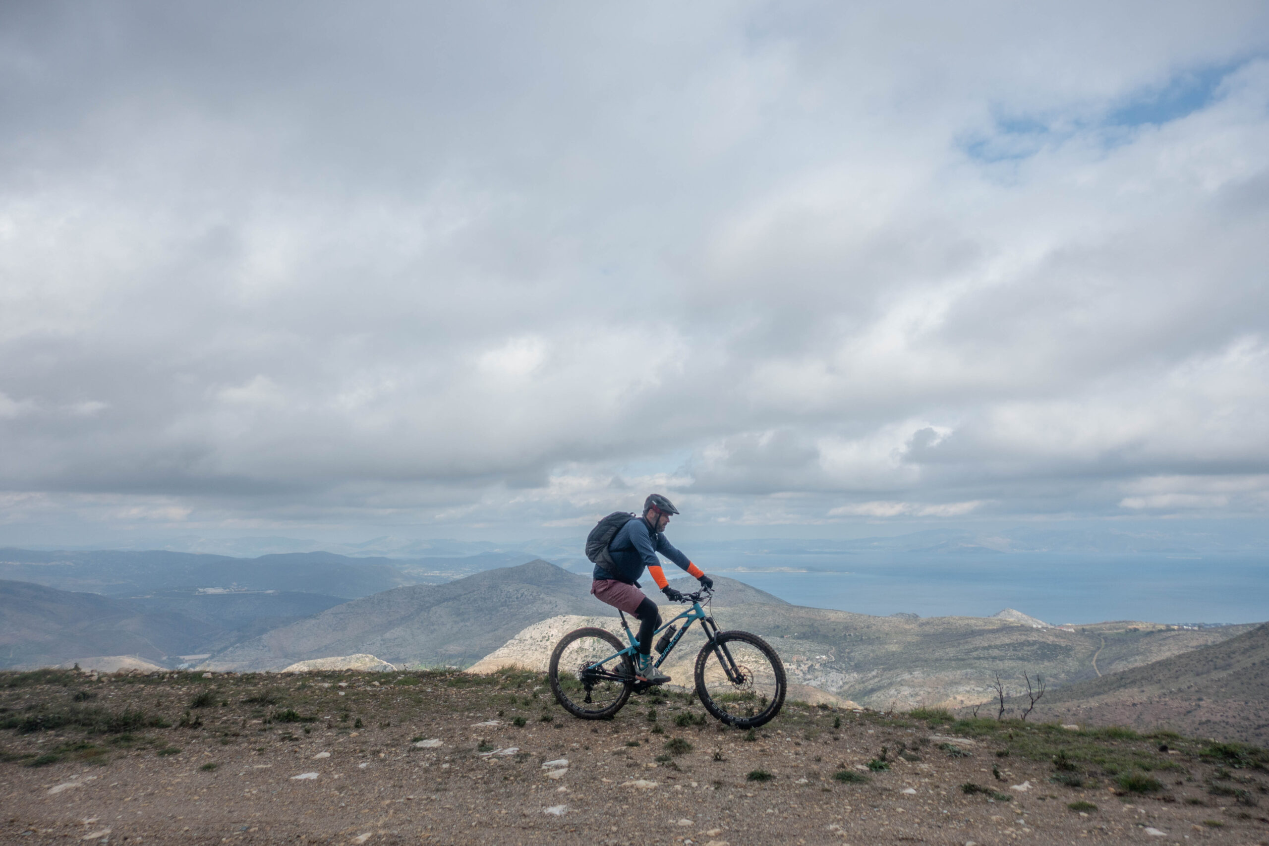
If you’re in the mood for rough dirt roads, technical singletracks, punishing climbs and a fair share of suffering — all set within a stunning landscape offering endless views across Attica — then this route is exactly what you’ve been looking for.
It loops around the Penteli mountain massif, exploring its lesser-known slopes. Expect steep gradients, constant terrain changes and numerous points of historical interest. From the small chapel of Agios Loukas, hidden beneath towering plane trees, to the abandoned marble quarries; and from the open-air quarrying museum to the historic “slides” once used to transport marble blocks, this route blends adventure with education in equal measure.
INTRODUCTION
Mount Penteli — also known as Pentelikon — rises north of Athens, forming a natural boundary between the Attica basin and the Marathon valley. With its distinctive pyramidal shape, it reaches its highest point at Pyrgari Peak (1,109 m). The mountain is known for its hard white rock, its pine forests — where they survived the fires — and the natural springs that emerge along its slopes.
In antiquity, the mountain was called Vrilissos, meaning “mighty stone”, a name found in the writings of Herodotus and Thucydides. The name “Penteli” appeared later, around the 3rd century BC, initially referring to the settlement rather than the mountain itself. The term “Pentelikon” was subsequently used to describe the mountain surrounding Penteli.
The region’s fame is inseparably linked to Pentelic marble. From the ancient quarries — particularly the Cave of Amomon, also known as Davelis Cave — marble was extracted for the construction of the Acropolis of Athens and the Temple of Olympian Zeus, as well as for later landmark buildings such as the National Library of Greece, the National Technical University of Athens and the Zappeion Hall. In antiquity, a Nymphaeum (a sanctuary dedicated to the Nymphs) operated inside the cave, serving as a place of worship and rest for quarry workers.
Much later, in the 10th century AD, the construction of numerous Christian churches marked the region’s association with Christianity. During Ottoman rule, the caves and slopes of Penteli provided refuge for resistance fighters from Marousi and Athens. After independence and the establishment of the modern Greek state, the first permanent residents settled in the area — primarily Sarakatsani shepherds from nearby Marathon.
During the German occupation in World War II, Penteli’s residents sheltered Athenian resistance fighters and suffered reprisals by German forces. After 1940, the mountain hosted sanatoria for tuberculosis patients, as its clean air was considered therapeutic. Particularly during the summer months, more than 10,000 people — most living in tents — stayed on the mountain seeking recovery through fresh air.
The last three decades have marked a devastating period for Penteli, with four major wildfires (1995, 1998, 2007, 2024) compounded by intense development that has severely hindered the mountain’s natural regeneration.
Despite its scars, Penteli remains ecologically significant. It hosts more than 1,100 plant species, including the local endemic Verbascum pentelicum. Wildlife includes foxes, hares and weasels, as well as birds of prey such as short-toed eagles and common buzzards, along with a rich reptile population. Davelis Cave is also home to the endemic orthopteran Dolichopoda petrochilosi, a species found in only four caves in Attica and nowhere else in the world.
ROUTE DESCRIPTION
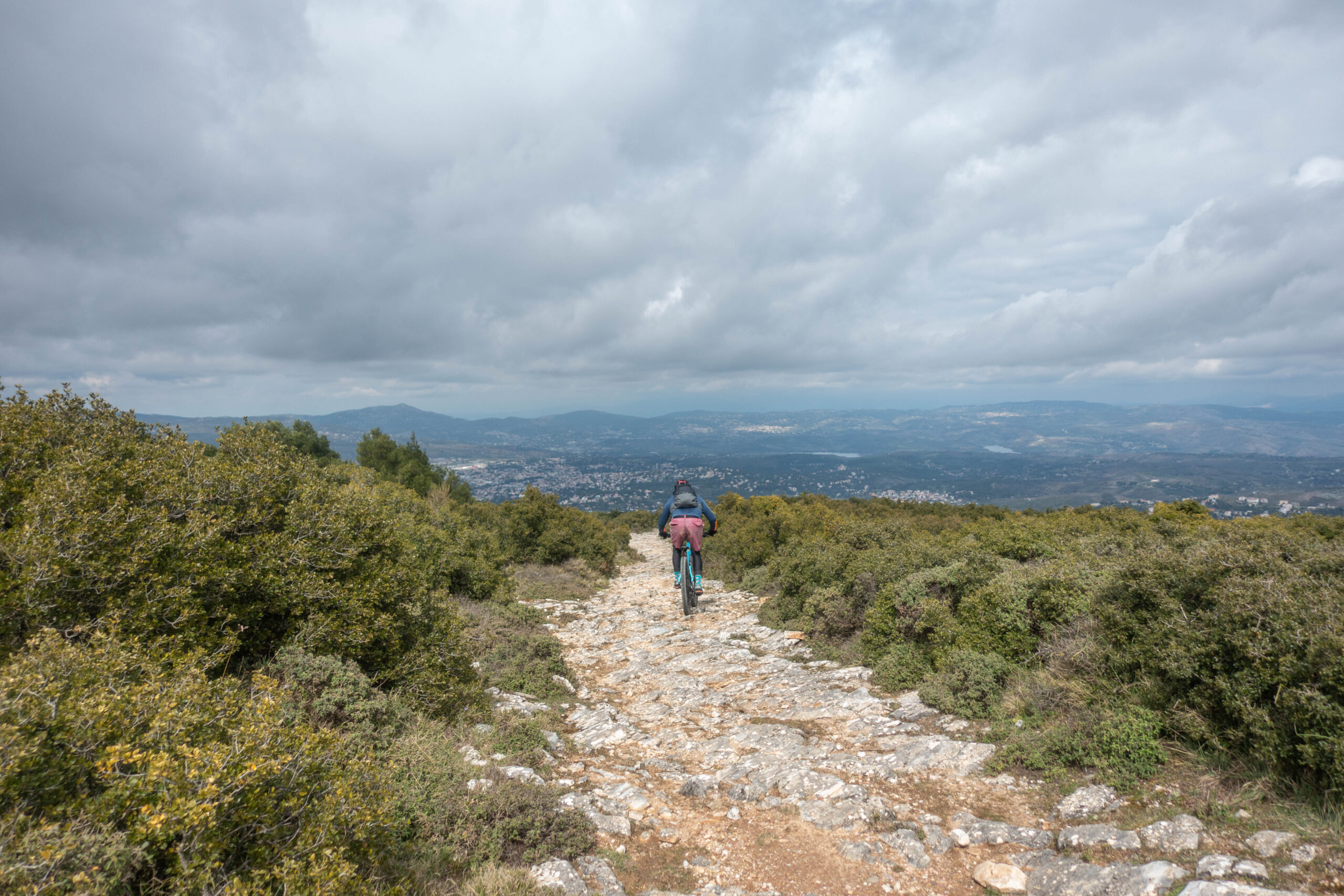
This route circumnavigates the Penteli mountain massif, exploring some of its most overlooked slopes. Ridden entirely on dirt, it features steep gradients and constant transitions between well-maintained forest roads, rough doubletrack and stretches of impressive singletrack. A true epitome of mountain biking adventure.
It requires solid fitness and confidence on technical terrain.
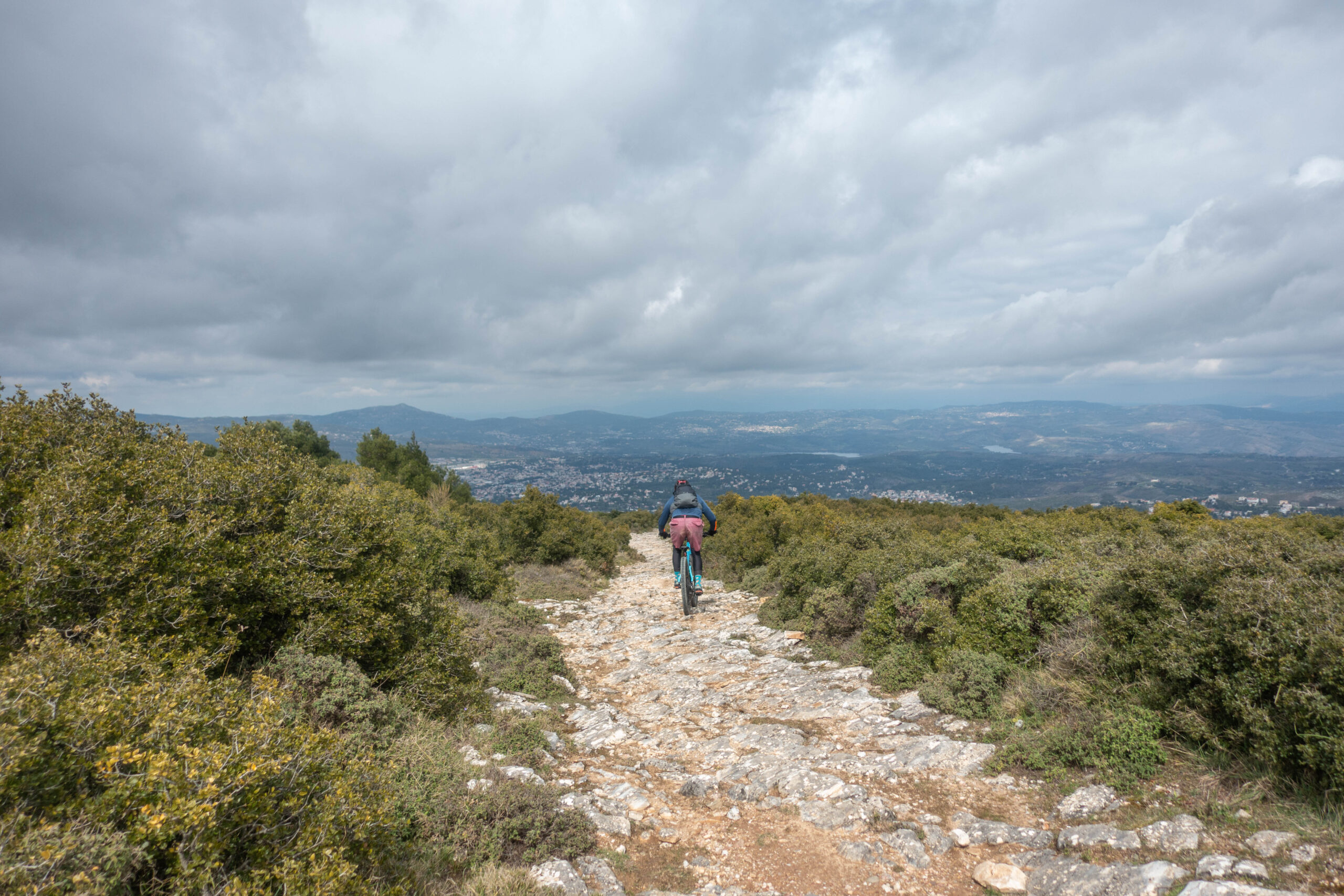
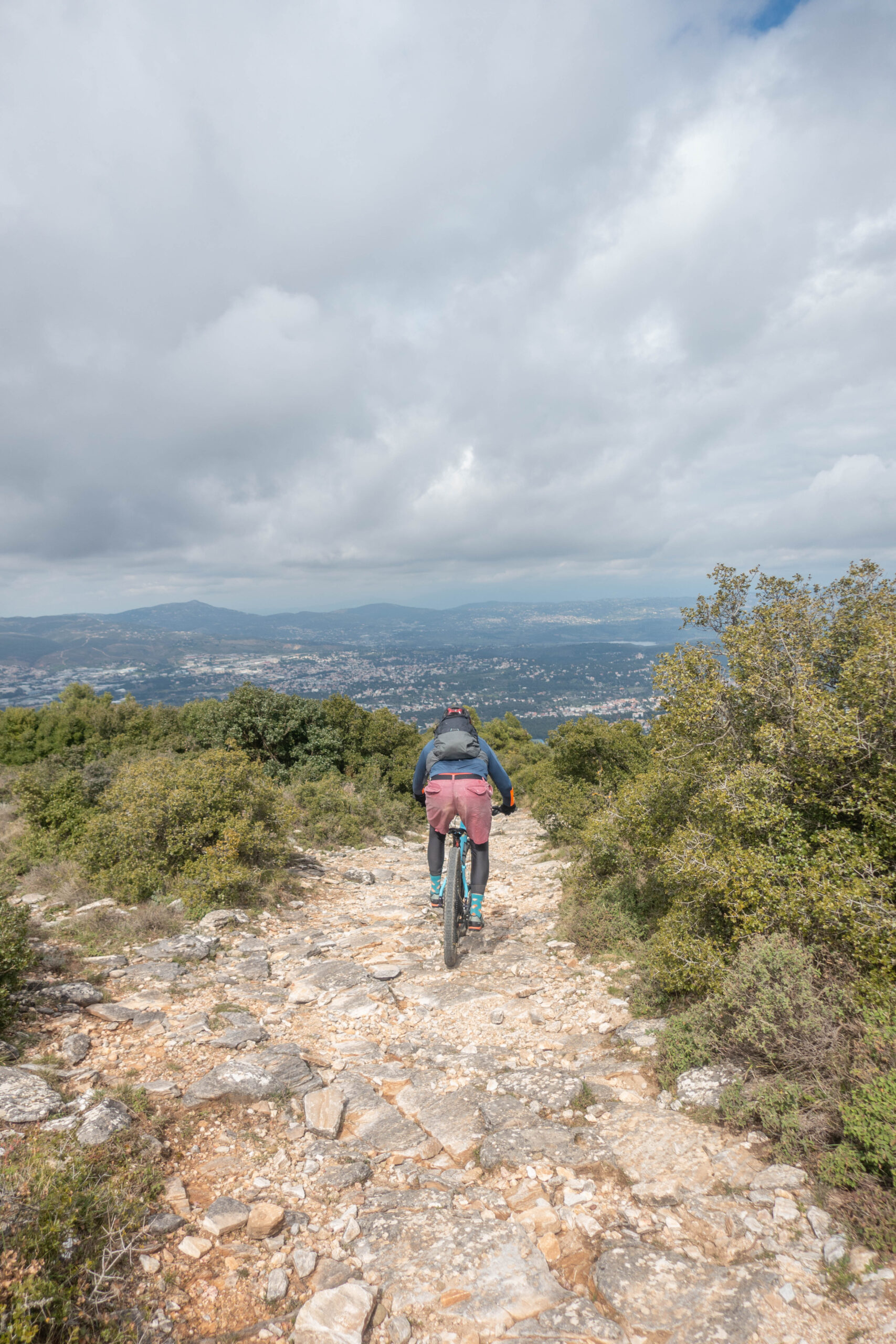
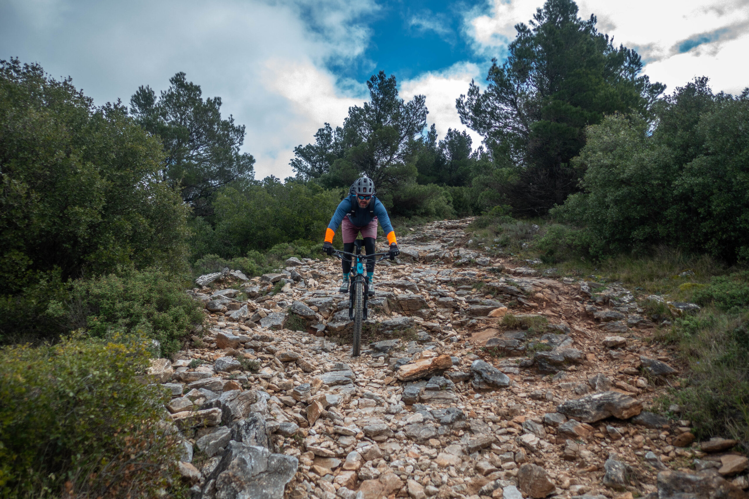
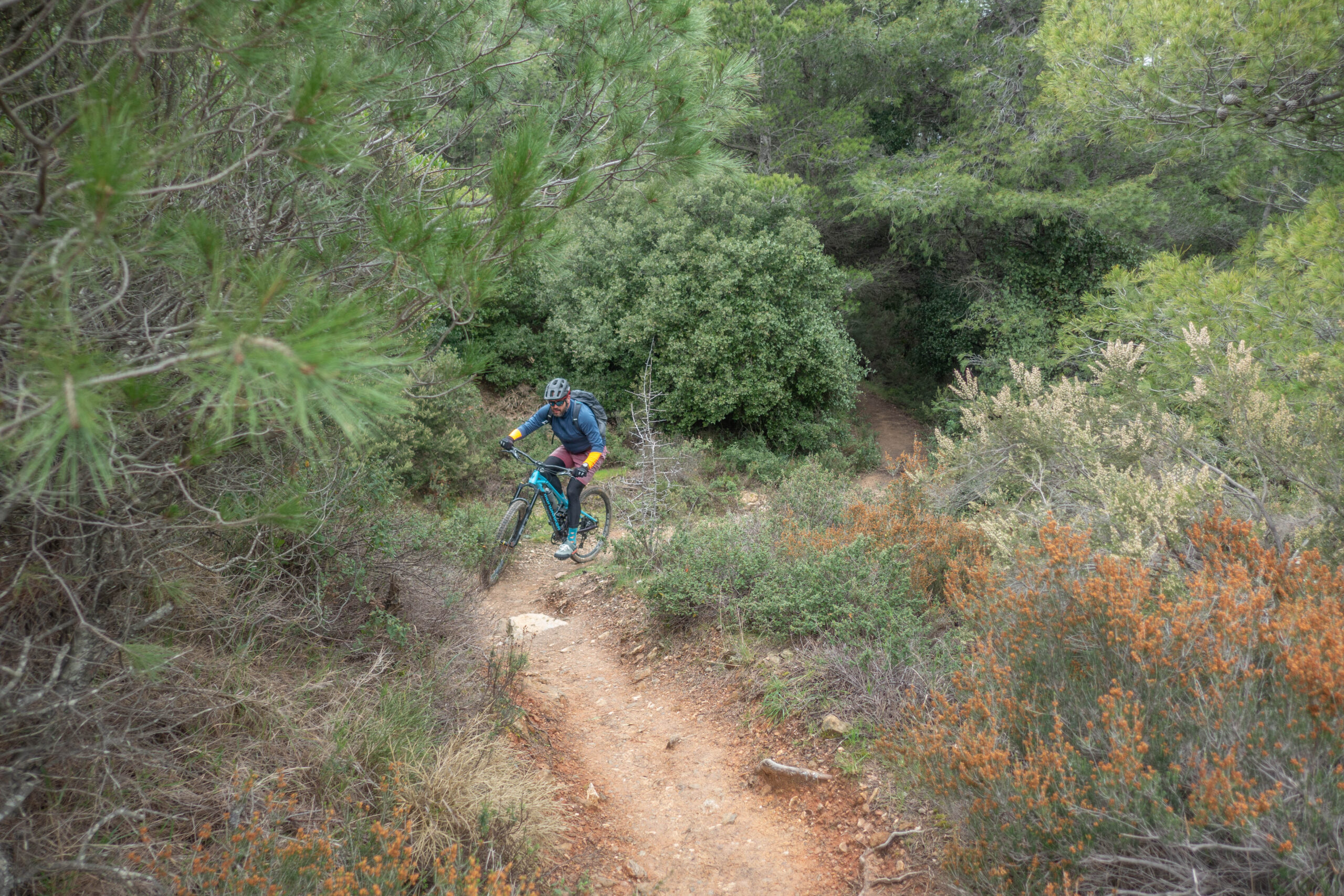
The starting point is the square of Palaia Penteli. The route initially climbs to 850 m, reaching a distinctive saddle above the Monastery of Agios Panteleimon. What follows is a beautiful yet technical downhill singletrack packed with loose rock, leading to Agios Loukas. The trail then mellows out and passes by the Aloula Open-Air Quarry Museum.
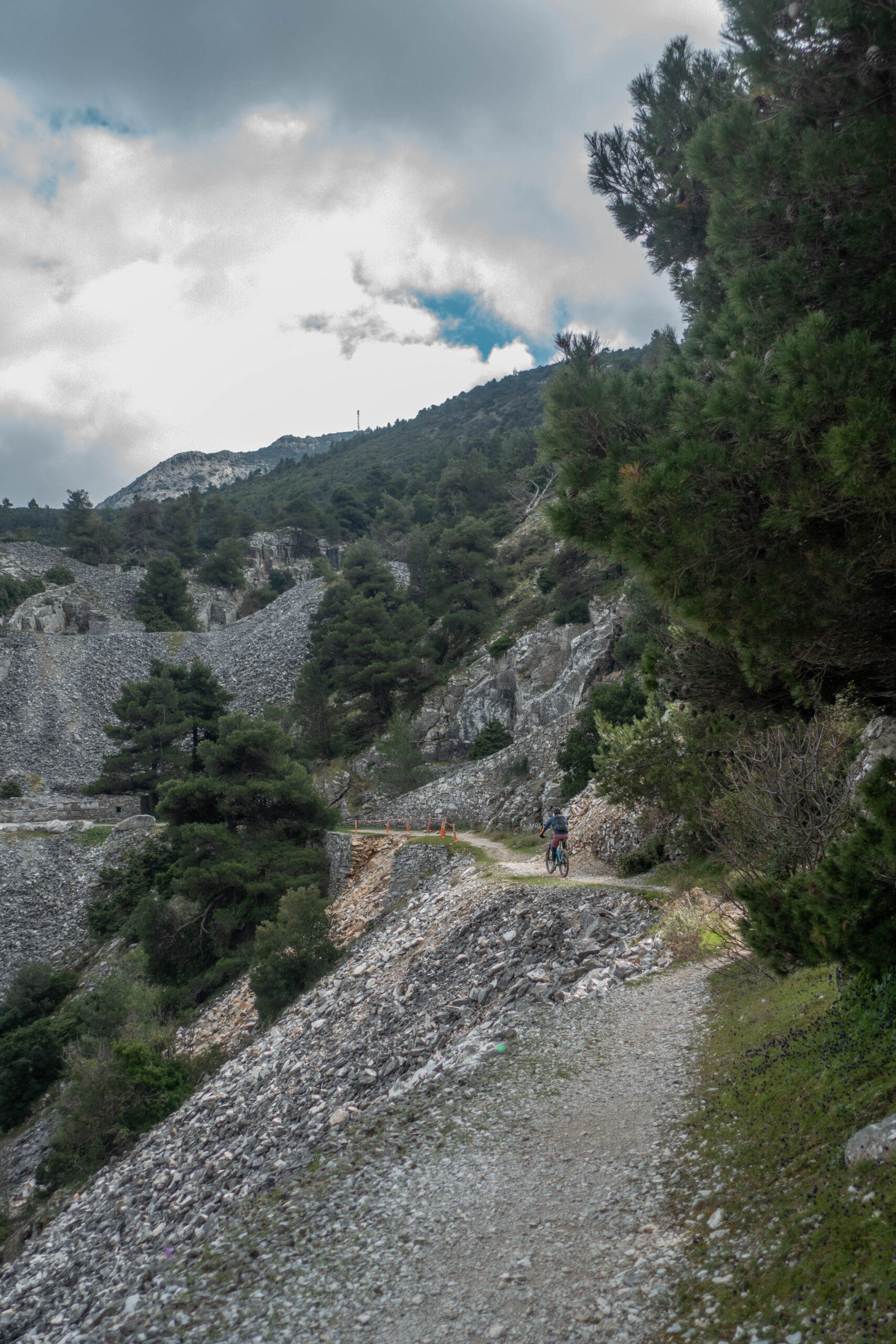
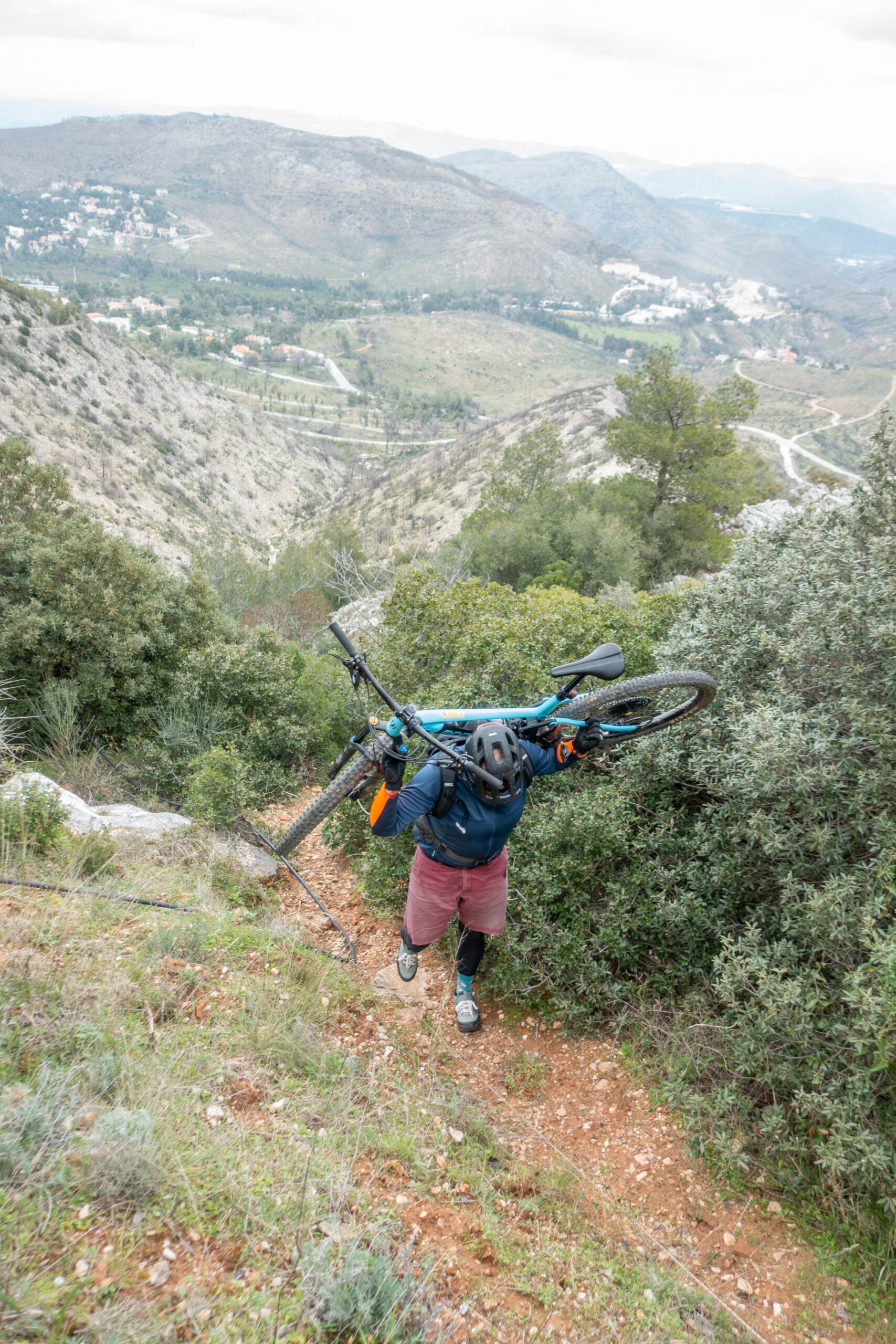
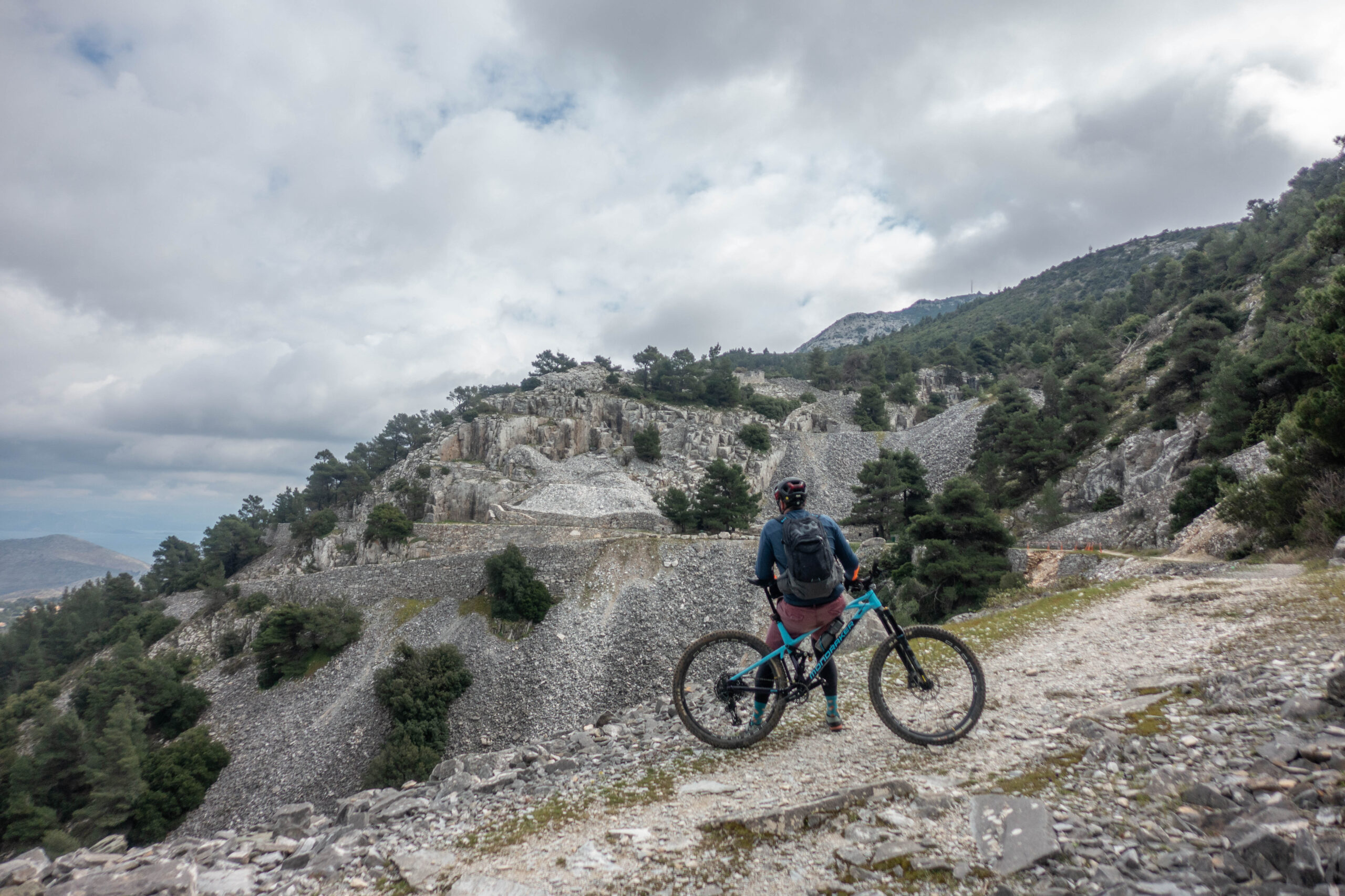
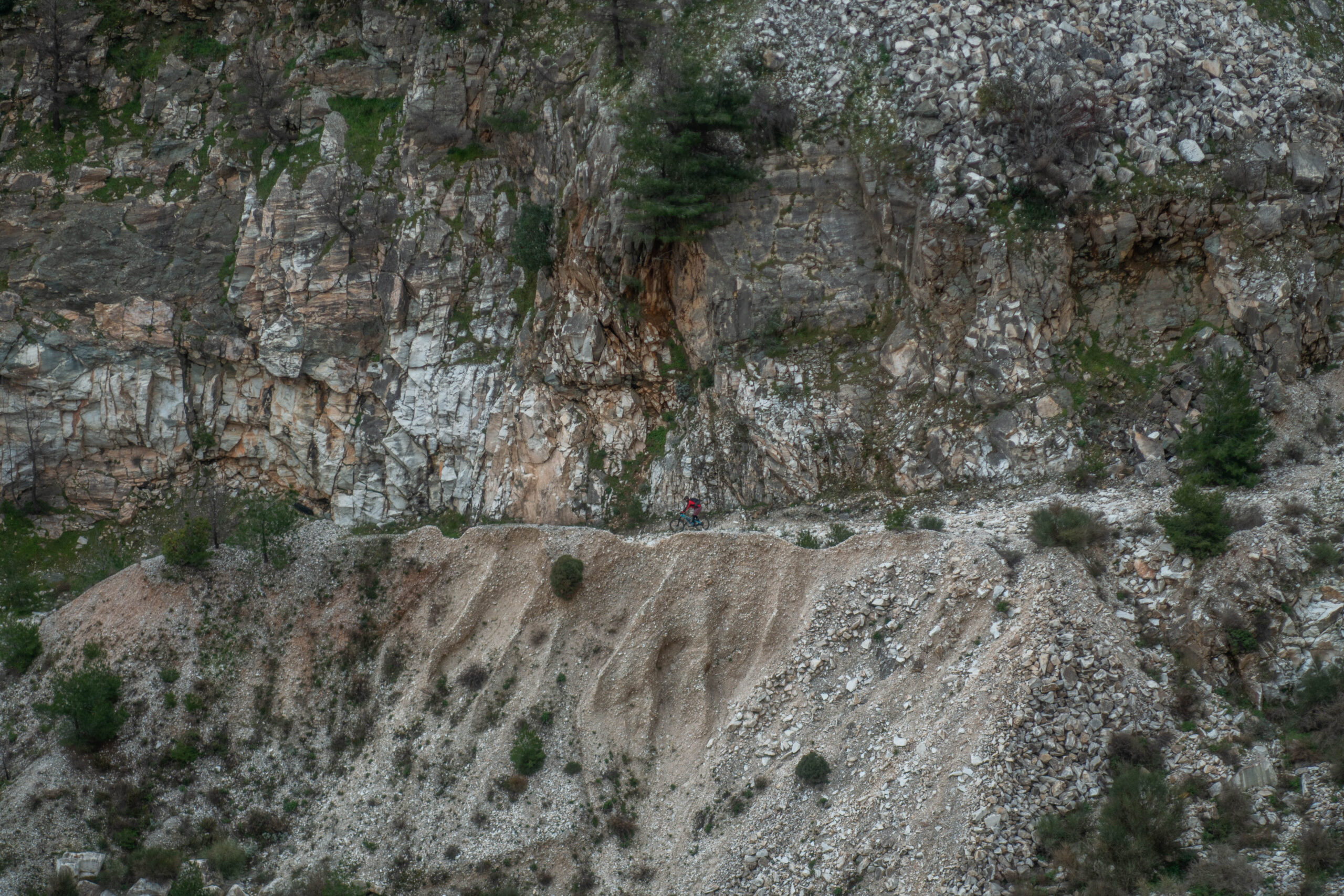
After the last houses of Dionysos, the route continues through the challenging yet spectacular old quarry passage near the chapel of Agia Marina, where you will need to push — and for about 50 meters, shoulder — your bike.
Another five-kilometer climb brings you close to the Pournara spring, before the final section — mostly downhill — leads you back to the starting point.
Although the total distance is not particularly long, the demanding terrain combined with gradients exceeding 20% in places makes this route highly challenging, both physically and technically.
26,9 km.
ROAD
DIRTROAD
BAD DIRTROAD
PATH
26,9 km.
ROAD
DIRTROAD
BAD DIRTROAD
PATH
ROAD
BAD DIRTROAD
DIRTROAD
PATH
GALLERY
- POINT OF INTEREST
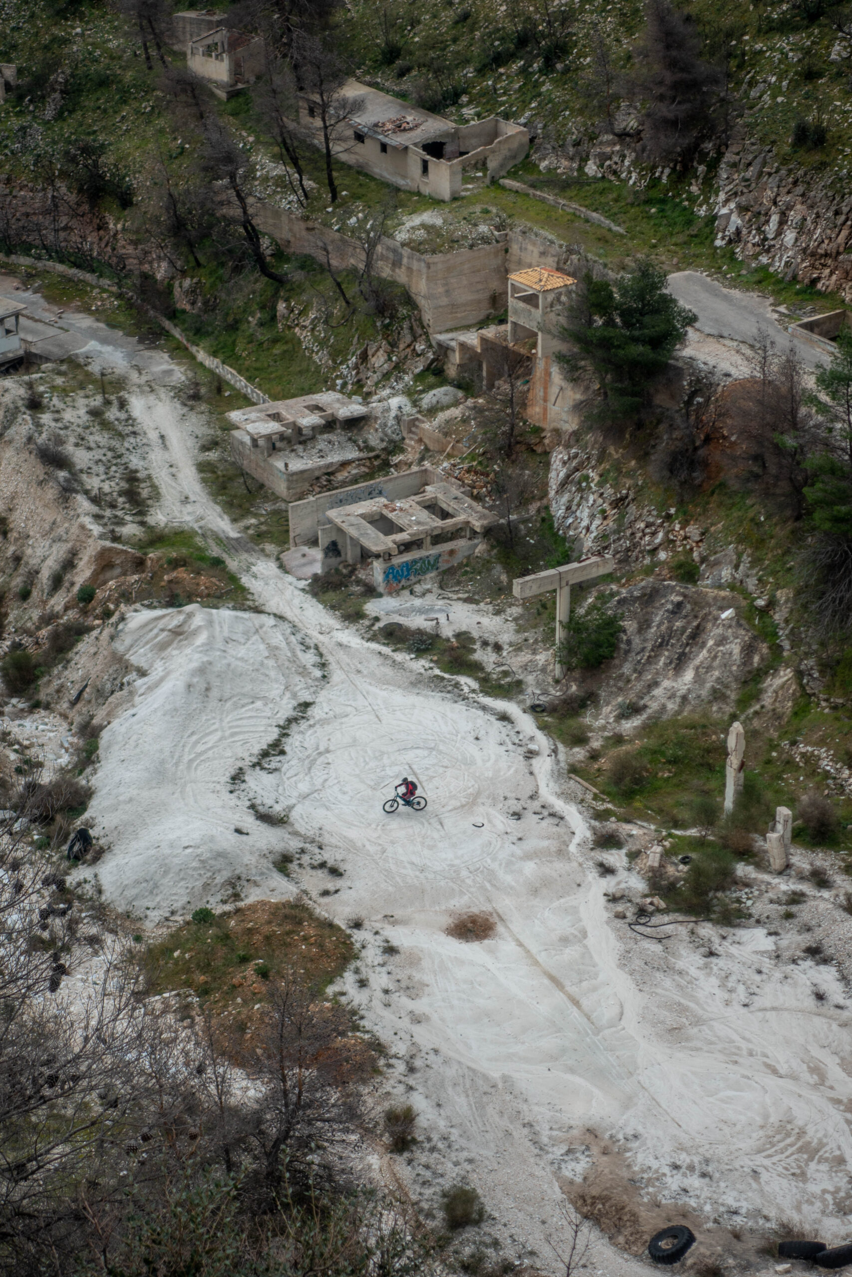
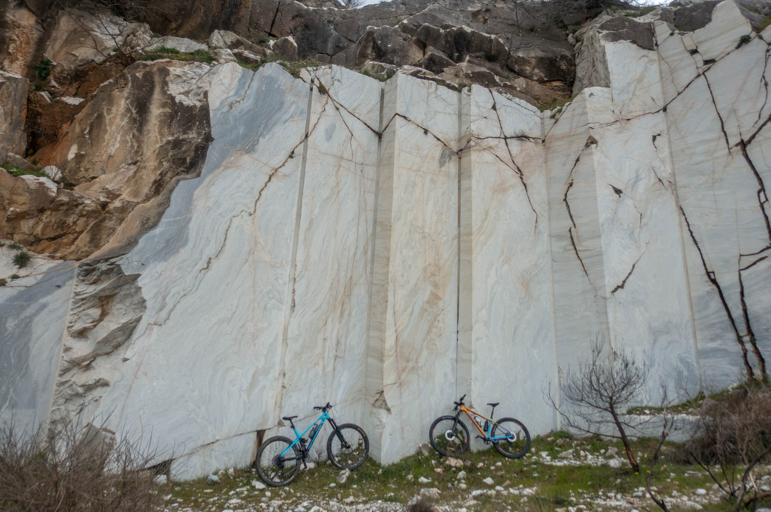
Marble extraction operated in this area from the 5th century BC until 1940, leaving yet another wound on the already “deeply scarred” body of Penteli.
Yet it took only five master craftsmen from Paros — along with the initiative of the Dionysos Penteli Quarries — to heal that wound through a model restoration project. The rehabilitation combined environmentally responsible practices (including the planting of thousands of trees and plants), functionality, and refined aesthetics.
Using discarded stones and their craftsmanship, the five Parian artisans created an open-air museum and recreation space, whose shade is enjoyed by many Athenians, especially during the summer months.
ROAD BOOK
| Distance between points | Total distance | Description | |
|---|---|---|---|
| 0 | 0 |  |
Start at Agia Triada square in Palaia Penteli. Head downhill towards Athens (L. Souvallioti Street). |
| 0.3 | 0.3 |  |
At the first dirt road with two fire-fighting water tanks, turn right. |
| 0.3 | 0.6 |  |
At the fork after the small bridge, turn left. |
| 0.3 | 0.9 |  |
Turn right onto the old asphalt road, and immediately right again at the fork. |
| 0.2 | 1.1 |  |
At the junction, turn left. |
| 0.3 | 1.4 |  |
Midway up the climb, take the right fork. |
| 0.8 | 2.2 | |
At the top of the climb, turn right uphill onto a narrow dirt road. |
| 0.2 | 2.4 | |
Midway up the climb, take the right uphill fork. |
| 1.4 | 3.8 |  |
Midway up the climb, take the right uphill fork. |
| 0.3 | 4.1 |  |
At a distinctive clearing, turn right downhill. |
| 0.4 | 4.5 | |
Cross the motocross track with CAUTION and at the asphalt road turn right towards the summit of Penteli. |
| 1.0 | 5.5 | |
At the fork, turn left towards the Holy Monastery of Saint Panteleimon. |
| 0.7 | 6.2 | |
At the monastery entrance, turn right uphill onto a dirt road. |
| 1.1 | 7.3 |  |
At the top of the climb, at the saddle, continue straight slightly downhill and after 20 m turn diagonally right onto a narrow dirt road–singletrack. |
| 0.9 | 8.2 | |
At the Chapel of Saint Luke, turn right onto the trail behind the apse. |
| 1.6 | 9.8 | |
At the end of the dirt road, continue straight onto Konstantinoupoleos Street. |
| 1.0 | 10.8 |  |
After the last houses, turn diagonally right uphill towards Saint Marina. |
| 0.4 | 11.2 | |
At the end of the first climb, continue straight towards Saint Marina. |
| 0.5 | 11.6 |  |
At the end of the uphill singletrack, turn left onto a rough trail towards Saint Marina, carrying the bike on your shoulder for 50 m. |
| 0.1 | 11.7 |  |
At the end of the trail, turn left downhill onto a dirt road. |
| 1.6 | 13.3 | |
After the quarry, take the first dirt road on the right. |
| 2.4 | 15.7 |  |
At the first road you meet, turn diagonally right, slightly back. |
| 2.6 | 18.3 | |
At the fire-fighting water tank, turn left downhill at the fork. |
| 0.8 | 19.1 | |
At the main asphalt road, turn right towards Penteli. |
| 0.5 | 19.6 | |
Opposite the spring, turn left downhill onto a dirt road. |
| 0.4 | 20.0 | |
At the fork, turn right. |
| 1.4 | 21.4 | |
At the metal fire-fighting water tank, turn left downhill, riding parallel to the power line poles. |
| 0.5 | 21.9 | |
Midway down the steep descent, turn diagonally right, slightly back. |
| 3.9 | 25.8 | |
At the end of the dirt road, turn left onto asphalt. |
| 0.6 | 26.4 | |
At the tavern area, turn right towards Marathon and Nea Makri to return to the starting point. |