
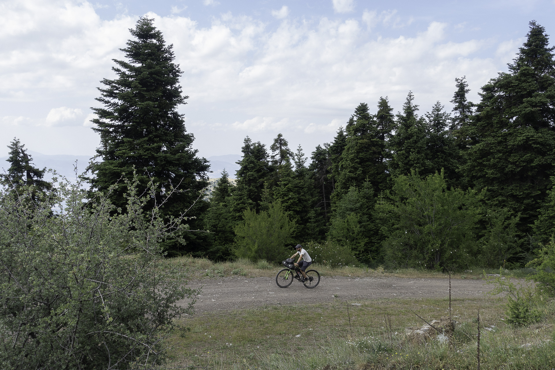
OETA MOUNTAIN (OITI)
KILOMETERS
DURATION
ELEVATION
PROPOSED SEASON
DIFFICULTY
PHYSICAL CONDITION
TECHNICAL DIFFICULTY
STARTING POINT
Author:
G. Koutrotsios
Photos:
G. Koutrotsios
Overnighter to the Mountain of Flowers
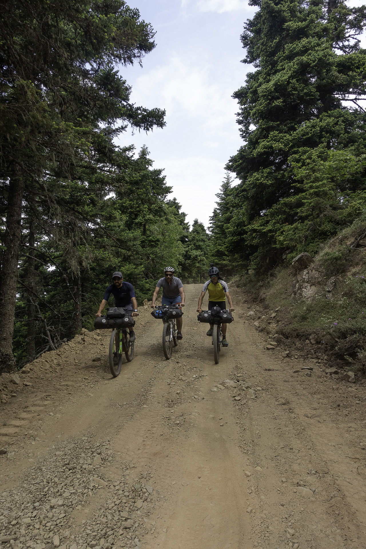
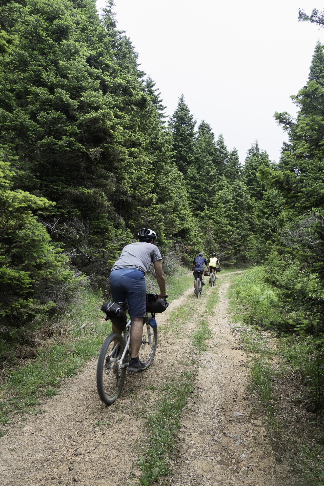
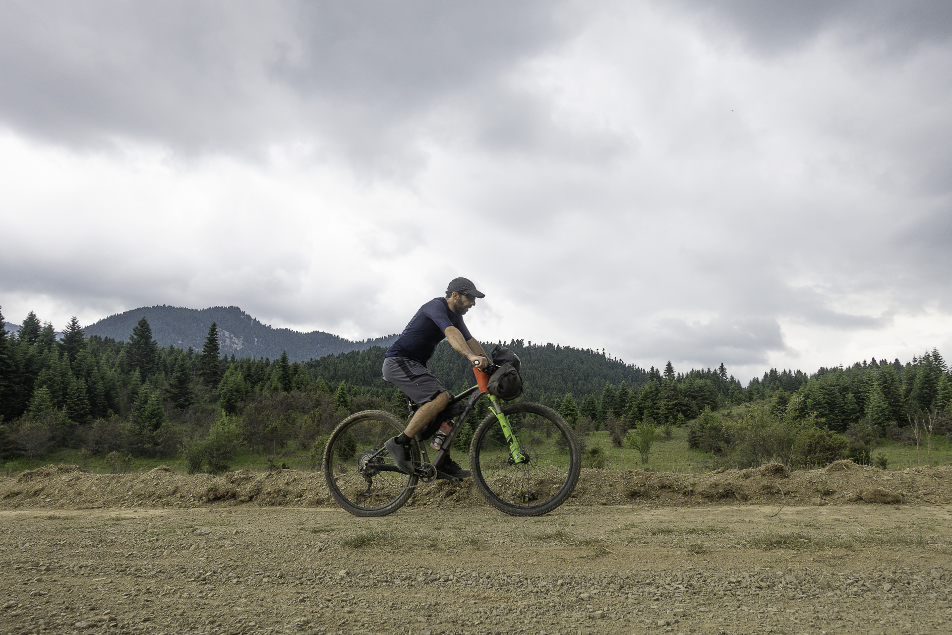
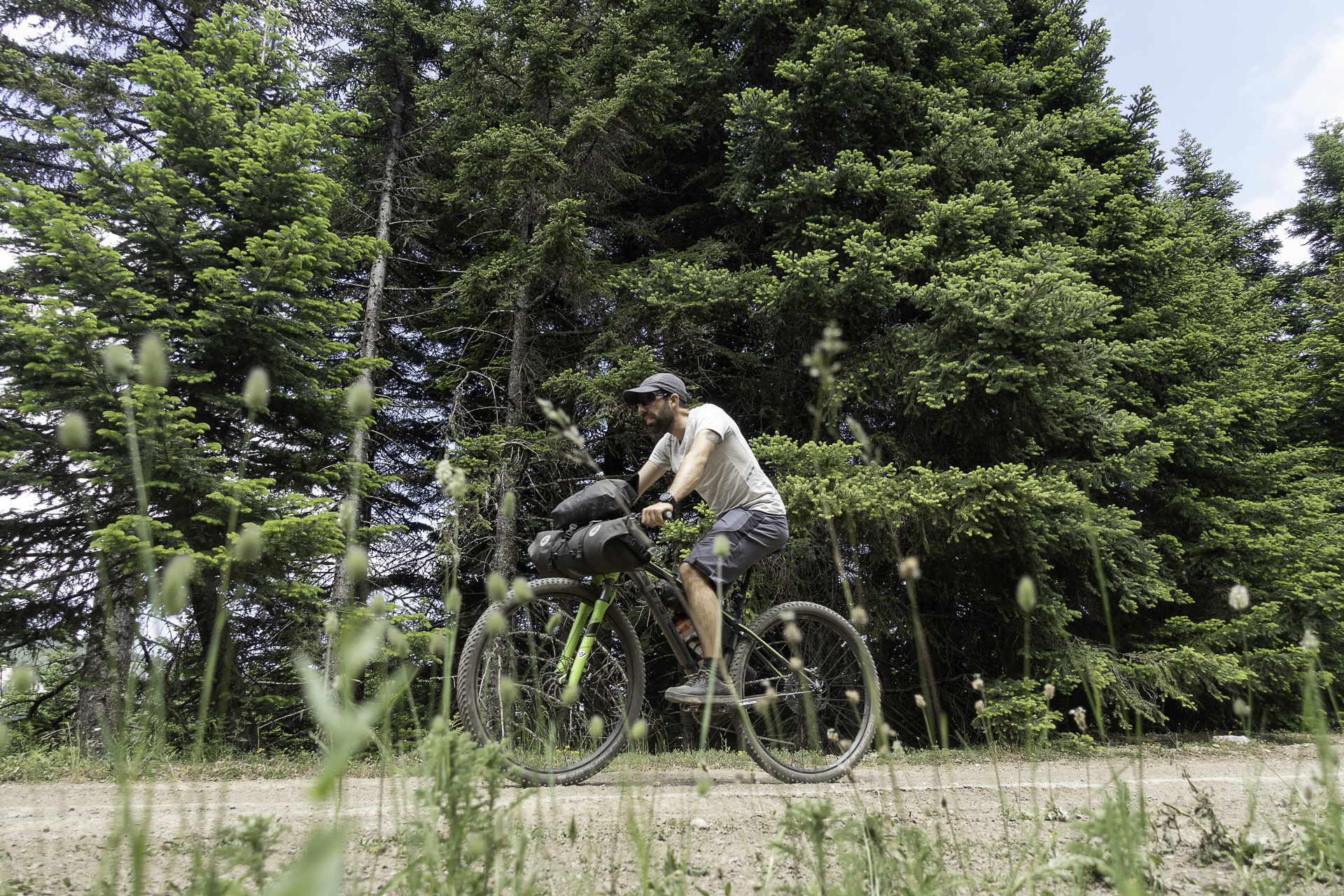
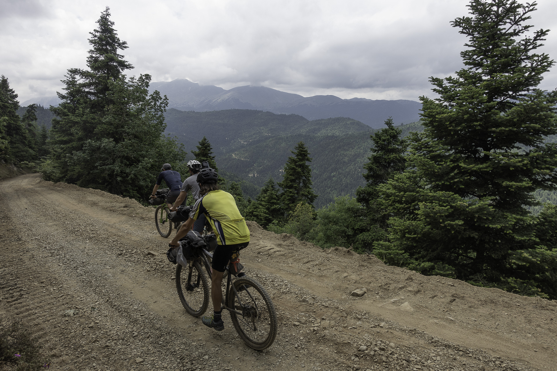
Dense fir forests, bubbling streams and cool mountain springs, gentle dirt roads, picturesque villages and fine local cuisine — all set against a backdrop of living myths and legends — promise a rich two-day cycling escape on one of Central Greece’s most beautiful mountains.
INTRODUCTION
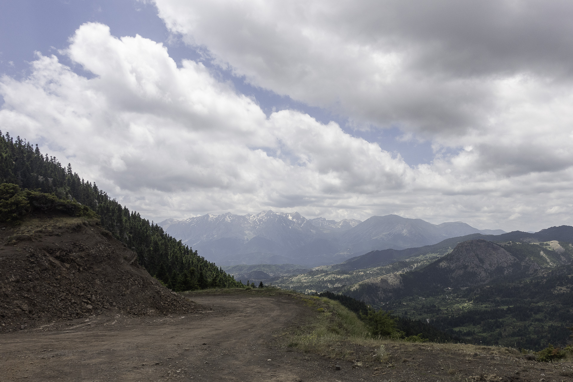
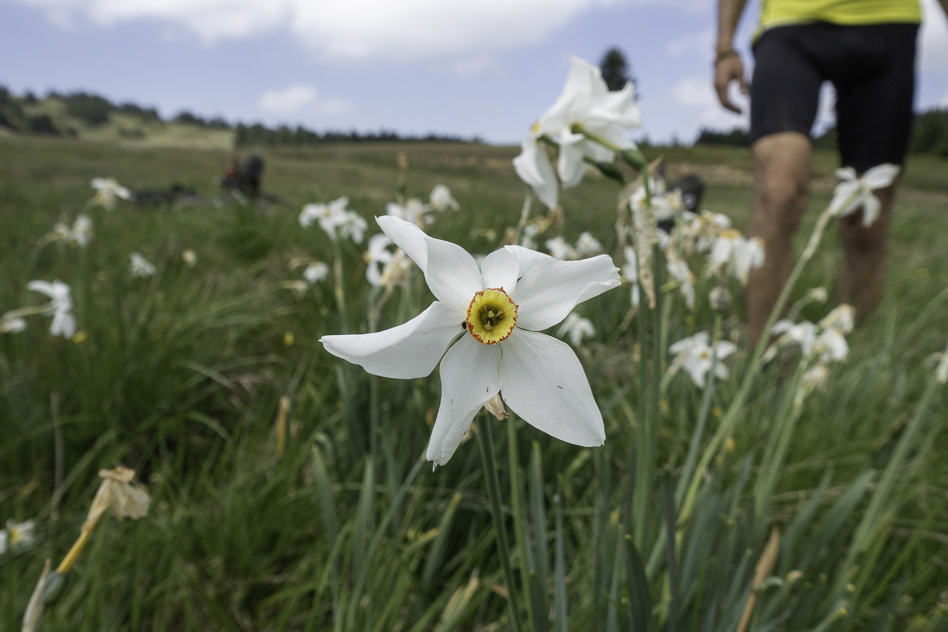
Mount Oiti, known as the Mountain of Flowers and the mythical mountain of Heracles, is one of the most beautiful mountains in Central Greece and the country’s third-largest national park. It towers above the plain of Lamia and the Spercheios Valley, on the border of Phthiotis and Phocis, and with an altitude of 2,152 m it is the fifth-highest mountain in Central Greece, after Giona, Vardousia, Parnassos and Tymfristos.
Its northern slopes are steep and rugged, cut by impressive gorges, the most famous being the Gorge of Gorgopotamos. Inside these gorges, one often encounters small and larger waterfalls, such as the Kremastos, considered the tallest waterfall in Central Greece. By contrast, the southern slopes and the mountain’s heart are gentle, with mild gradients and many meadows carpeted with wildflowers, such as Livadies, Amaliolaka, Zapantolaka, and Katavothra, where small seasonal ponds form. At the mountain’s foothills lie 22 villages in total, while a vast network of dirt roads of varying condition and footpaths crisscrosses the entire massif.
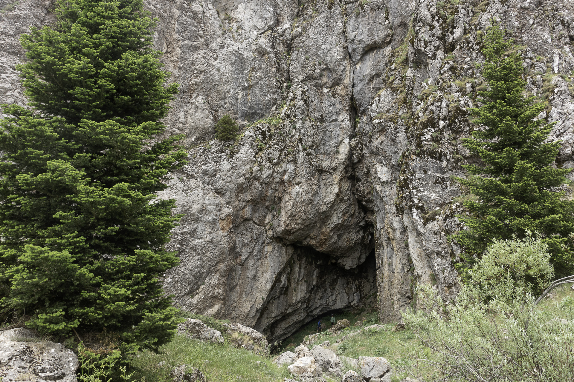
The geological foundation of the mountain, with alternating limestone and flysch layers, shapes both surface and underground water flow, forming a labyrinth of sinkholes and caves. This results in numerous springs and streams. Three rivers also rise on Oiti: Gorgopotamos and Asopos to the east, and the ancient Inachos to the west.
Most of the mountain is covered by dense forests of Kefalonian fir, while deciduous oaks dominate the lower zones. A relatively large share (10.3%) of Oiti’s area at higher elevations is covered by alpine meadows, which, along with its rocky slopes, are considered the richest in floral diversity. The mountain’s location, geological history, wide range of habitats, and particular climate conditions have created an impressive variety of ecological niches, ideal for the development of great plant diversity. To date, 1,149 plant species and subspecies have been recorded here, representing about one fifth of Greece’s flora. Among these are many endemic species of Greece and the Balkans, but also two narrow endemics—plants found only on Oiti and nowhere else in the world: Veronica oetaea and a wild onion (Allium lagarophyllum).
Oiti’s forests and meadows also host a wide range of mammals and birds common in Greek mountains—roe deer, wild boar, wildcat, fox, hare, buzzard, kestrel, among others—as well as rare and protected species. Particularly notable is the presence of a small population of chamois in the mountain’s steep cliffs and ravines—Oiti, along with neighboring Giona and Vardousia, mark the southernmost range of the species worldwide. In addition, 1–2 breeding wolf packs inhabit the wider area, while the relatively recent recolonization of Oiti by the brown bear is of major importance, since it represents the species’ southeasternmost distribution limit in Greece and Europe. Among amphibians, the alpine newt, a threatened species in Greece, lives in high-altitude wetlands, ponds, and streams.
Beyond its natural beauty, Oiti is deeply entwined with myth and history. Since antiquity, it was associated with Heracles. Near Katavothra lie the ruins of an ancient temple built in his honor. According to myth, here at the Pyra of Heracles, the hero, in unbearable pain from the poisoned tunic of Nessus (sent to him by his wife Deianira), lay upon a funeral pyre. Philoctetes lit the flames, and in return Heracles gave him his bow and arrows. Zeus, unable to watch his son burn, enveloped him in clouds and carried him to Olympus, where he married Hebe, the goddess of youth. Another version says Zeus struck the ground with a thunderbolt to cool his son, creating the sinkhole from which the river Gorgopotamos springs.
In the Revolution of 1821, under the plane trees of Kompotades village square, the local chieftains—Diakos, Diovouniotis, and Panourgias—gathered to decide on the Battle of Alamana. Because of their historic and aesthetic value, those very plane trees are now declared Natural Monuments. In modern history, during the Occupation, the area became tied to one of the most iconic moments of resistance: the blowing up of the Gorgopotamos Bridge on 25 November 1942 by ELAS, EDES, and British saboteurs. Beyond its symbolic significance, it inflicted a devastating blow to the Germans and was considered the greatest act of sabotage in WWII.
ROUTE DESCRIPTION
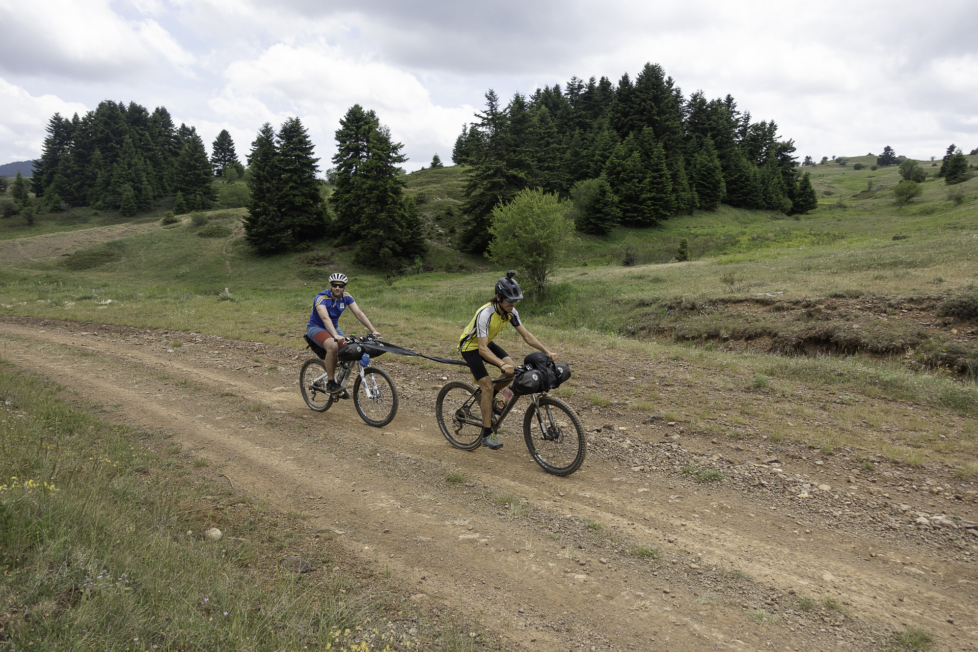
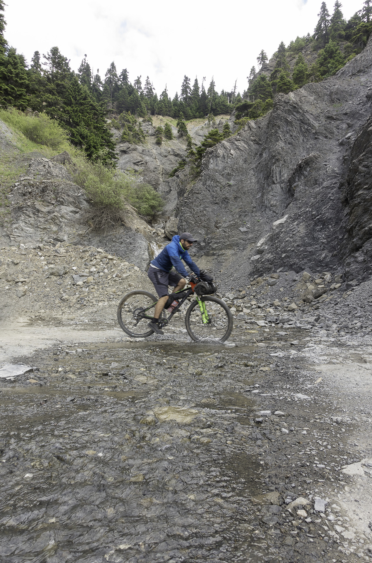
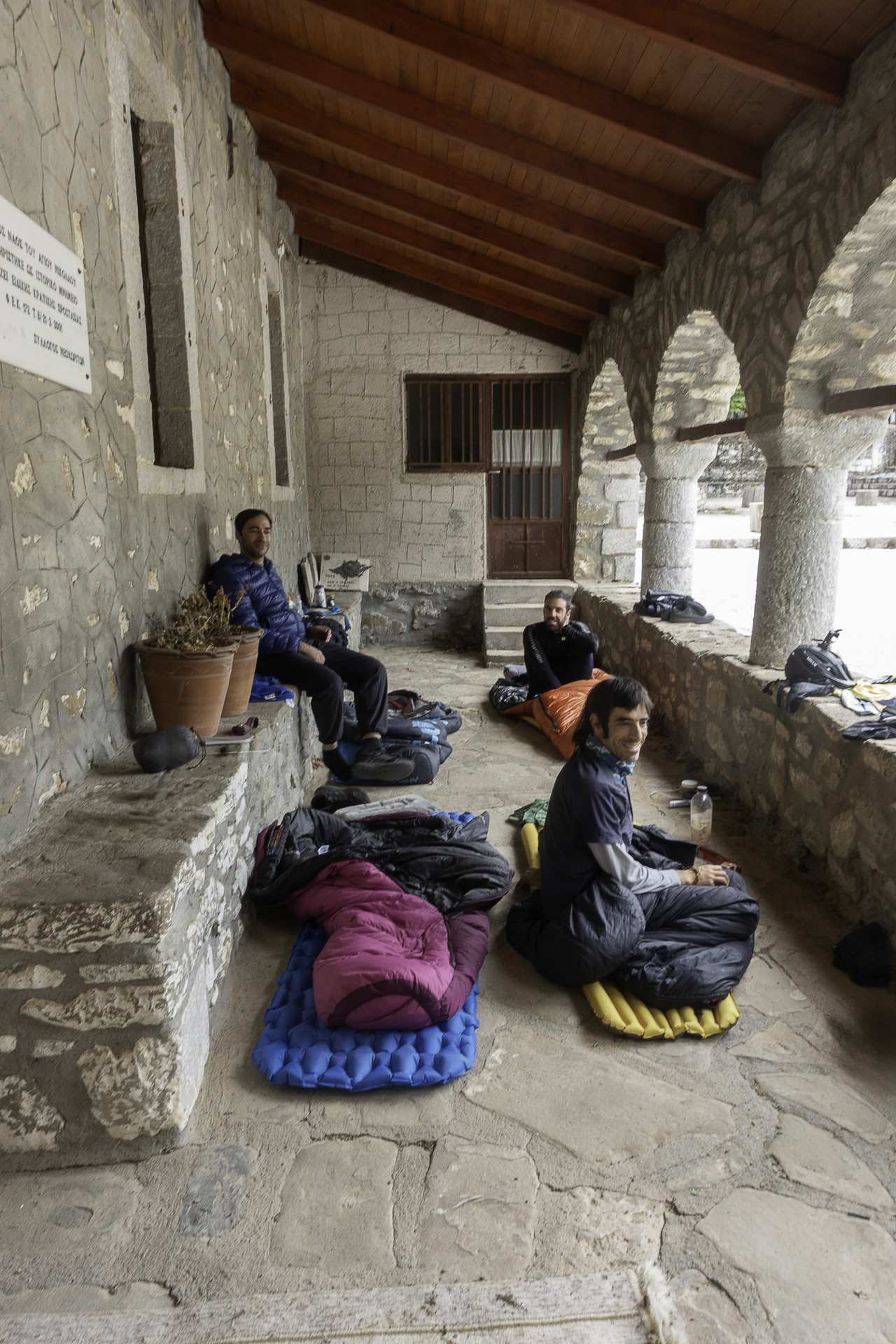
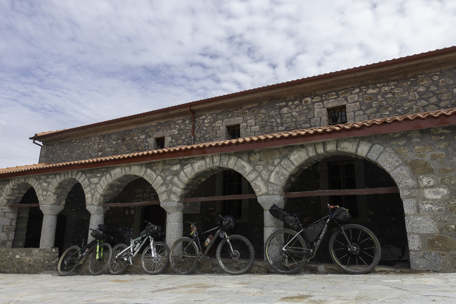
The starting point is just outside Pavliani. The route first ascends a manageable dirt road to the archaeological site—the remains of the Sanctuary of Heracles—passes through Katavothra, and after another 15 km of gentle climbing, reaches Livadies, where Oiti’s alpine meadows unfold, along with a small seasonal lake and a spring built by one of Aris Velouchiotis’ lieutenants, Captain-Anypomonos the monk! From here begins a wonderful 15 km descent through dense fir forests, with views over the Spercheios Valley, ending at Kastania village. One option is to eat at the local tavern and stay overnight here; the other is to continue, after digestion, to stay overnight in Neochori. The two villages are linked by a quiet 14 km asphalt road, even suitable for night riding with lights. The covered entrance of Neochori’s church square makes an ideal bivouac spot.
On the second day, the route follows a delightful narrow, rough dirt road across Oiti’s entire western side, always facing the “wild” Vardousia mountains. Just before Kastriótissa village, a 20 km stretch of asphalt begins, crossing through Mavrolithari and Pyra villages. If you’re wondering where to stop for coffee or food, we recommend Mavrolithari’s square, with its two cozy cafés/taverns. Towards the end of the ride, the route cuts through a 3.5 km old dirt road, leading back to the starting point.
87.1 km.
ROAD
DIRTROAD
BAD DIRTROAD
PATH
87.1 km.
ROAD
DIRTROAD
BAD DIRTROAD
PATH
ROAD
BAD DIRTROAD
DIRTROAD
PATH
GALLERY
- FOOD
- ACCOMMODATION
- CAMPING SPOT
Delicious and affordable food, a variety of cooked dishes, tasty pies, and local meats. We recommend the burger, handmade pies, and giaprakia. Located in Kastania (tel: +30 2231 095278).
Located in Neochori, in the old school building in the village square. Accommodation available for up to 8 people (tel: +30 2210 8024754, +30 6976 223626).
In the square of Neochori village. A sheltered spot with benches, tables for meals, and a spring right next to it—ideal for camping
ROAD BOOK
| Distance between points | Total distance | Description | |
|---|---|---|---|
| 0 | 0 |  |
Starting point: the first dirt road on the road from Pavliani to Athanasios Diakos. There is a signpost to “Pyra of Heracles”. |
| 0.4 | 0.4 |  |
At the first fork, go left towards Agia Triada. |
| 0.4 | 0.8 |  |
At the perpendicular road, turn right towards “Parkaki”. |
| 8.4 | 9.2 |  |
At the fork after Pyra of Heracles, take the right road, which is in worse condition. |
| 5.0 | 14.2 | |
At the next fork, go left, slightly uphill. |
| 5.9 | 20.1 | |
At the stone fountain “Tou Kalogerou”, turn right towards Kastania. |
| 13.5 | 33.6 | |
At the end of the dirt road, turn right downhill onto another dirt road. |
| 1.6 | 35.2 |  |
At the first houses of the village, turn right onto the asphalt road that leads to the village square. |
| 0.5 | 35.7 |  |
Stop for food at Schizas Tavern, in the village square. Then return via the same road (asphalt), continuing towards Neochori. |
| 12.8 | 48.5 | |
At the entrance of the village, turn right downhill towards the square. |
| 1.2 | 49.7 |  |
Camp at the church of St. Nikolaos in the village square or stay overnight at the guesthouse. On Day 2, depart following the downhill cement road, to the left of the guesthouse. |
| 0.2 | 49.9 | |
At the fork, turn right downhill onto the dirt road. |
| 0.9 | 50.8 | |
Opposite the village, take the perpendicular dirt road right, heading towards Vardousia. |
| 6.6 | 57.4 | |
At the only fork before the plateau, turn right. |
| 0.8 | 58.2 | |
On the plateau, turn left towards Dafni (right goes to Pyrgos). |
| 1.8 | 60.0 | |
On the first road after the plateau, turn left, slightly downhill. |
| 1.1 | 61.1 |  |
At the main dirt road, turn left towards Kastriótissa. |
| 0.4 | 61.5 | |
At the end of the climb, turn left onto the asphalt road to Kastriótissa. |
| 4.5 | 66.0 |  |
At the entrance of Kastriótissa village, with the stone fountain, go straight on the asphalt road. |
| 3.4 | 69.4 | |
Cross through Mavrolithari, and at the village exit turn left onto the asphalt road towards Pyra. |
| 14.4 | 83.8 |  |
After the Oiti refuge, take the first dirt road left at the distinctive roadside shrine. |
| 0.6 | 84.4 | |
At the fork, turn right downhill on the dirt road. |
| 0.6 | 85.0 | |
At the fork above the asphalt road, turn left. |
| 0.9 | 58.9 | |
At the end of the trail, turn left onto a dirt road in good condition. |
| 0.5 | 86.4 | |
On the wide dirt road, turn right downhill.
|