
MYCANAE
KILOMETERS
DURATION
ELEVATION
PROPOSED SEASON
DIFFICULTY
PHYSICAL CONDITION
TECHNICAL DIFFICULTY
STARTING POINT
Author:
G. Koutrotsios
Photos:
G. Koutrotsios - A. Leontaritis
Cycling or a Living History Lesson?
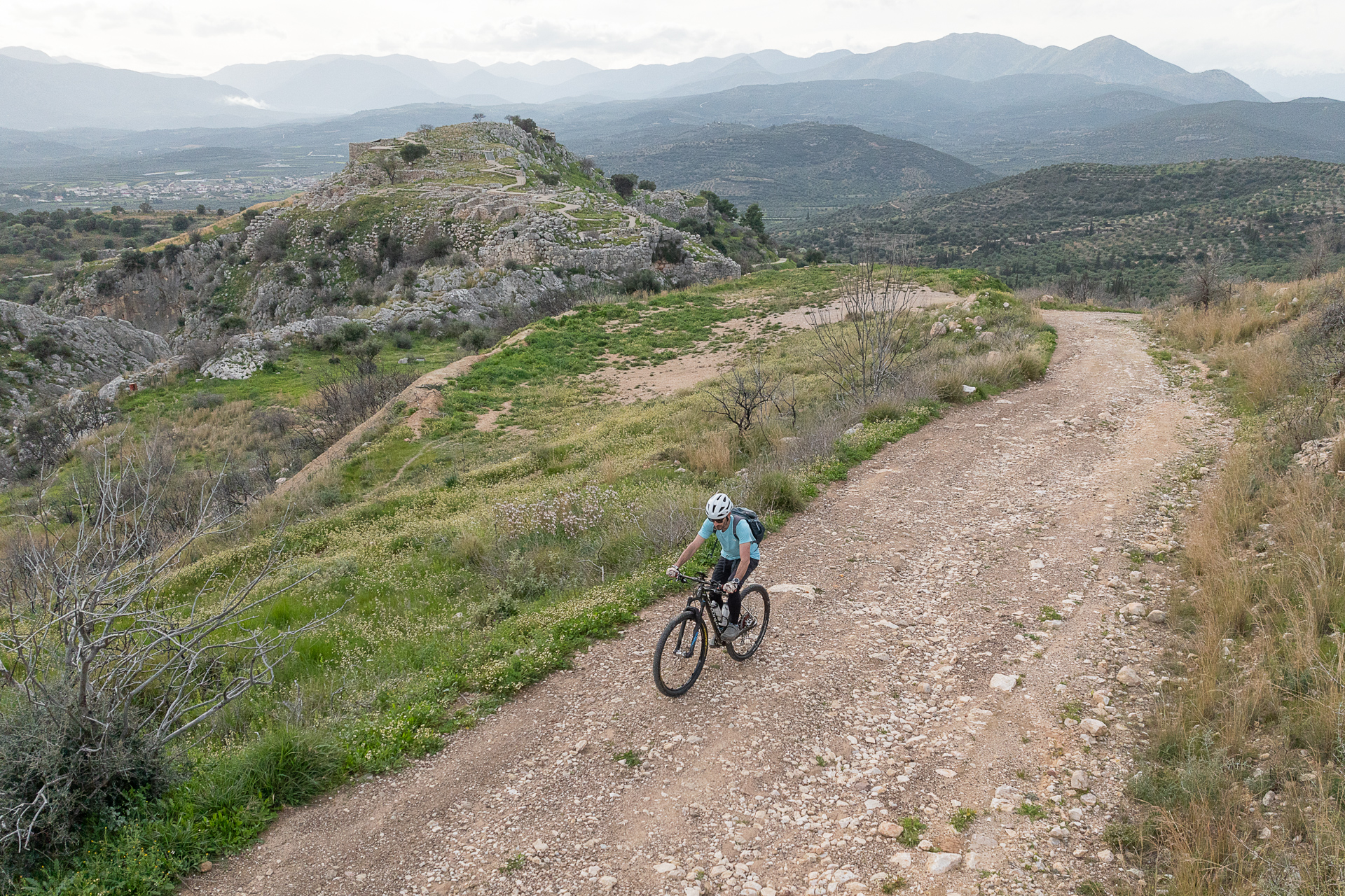
Cycling 26 km on a time machine with gravel tires, we come face-to-face with the centuries-long history of the Argolid land and ride along one of the oldest roads in Europe, built around 1300 BC.
INTRODUCTION
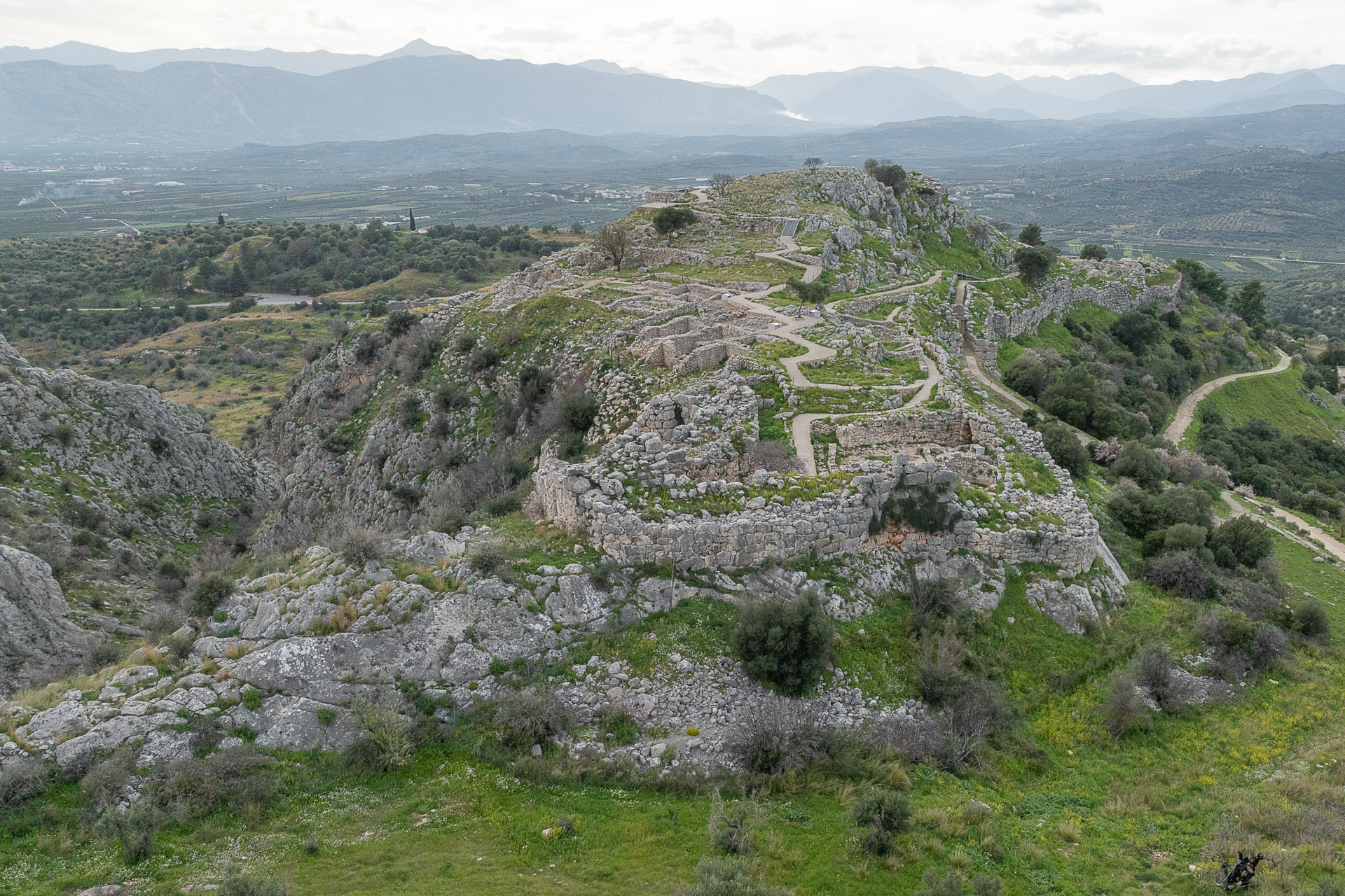
Mycenae, the kingdom of the mythical Agamemnon first praised by Homer, is the most important and wealthiest palace complex of the Late Bronze Age in Greece. Their name has been given to one of the most glorious chapters of Greek history between 1600 and 1100 BC, the so-called “Mycenaean period,” and the myths tied to Mycenae endured through the Homeric epics and the great classical tragedies.
According to legend, the city of Mycenae was founded by Perseus, between two steep conical hills—Prophet Elias (805 m) and Sara (660 m)—on a rise overlooking the Argolid plain, controlling both land and sea routes. Around 1700 BC, the first aristocratic families settled in the area and built the earliest monumental tholos tombs. The construction of the palaces and fortifications visible today began around 1350 BC, coinciding with the city’s greatest prosperity.
At its peak, ancient Mycenae had about 30,000 inhabitants. Today, the small but very touristic village of the same name stands next to the ruins of the Acropolis, evoking the city’s glorious past. The most significant remains include the two royal grave circles A and B (part of a vast prehistoric cemetery west of the palace hill, which yielded most of the famous golden treasures), the Treasury of Atreus (a tholos tomb), the Tomb of Clytemnestra, the Lion Gate, the Royal Palace, the Temple, the North Gate, and the Underground Cistern. Many of these artifacts are exhibited in the National Archaeological Museum of Athens as well as in the modern Mycenae Museum on the northern slope of the citadel.
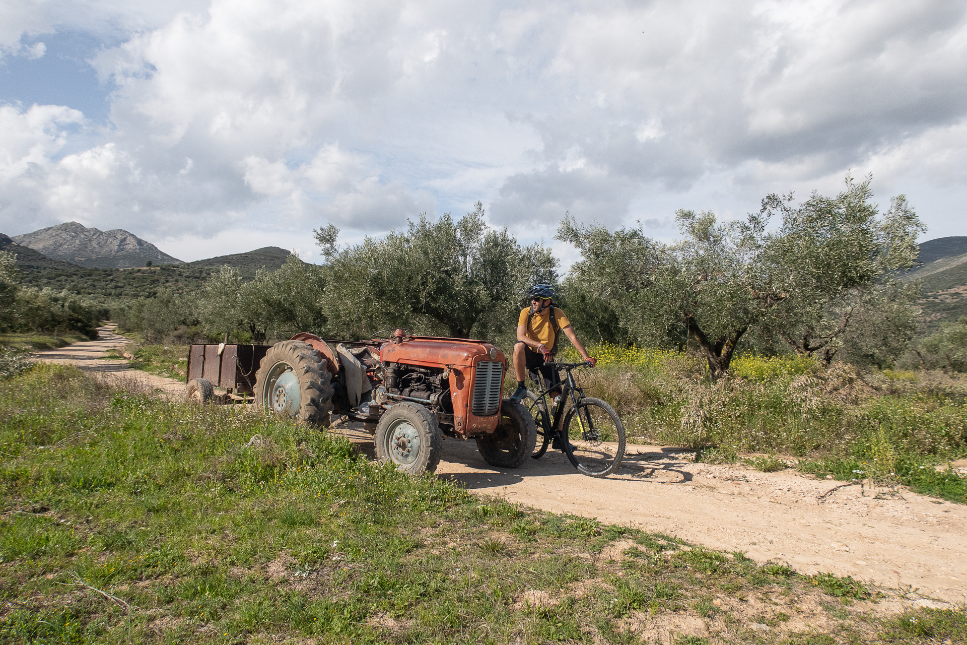
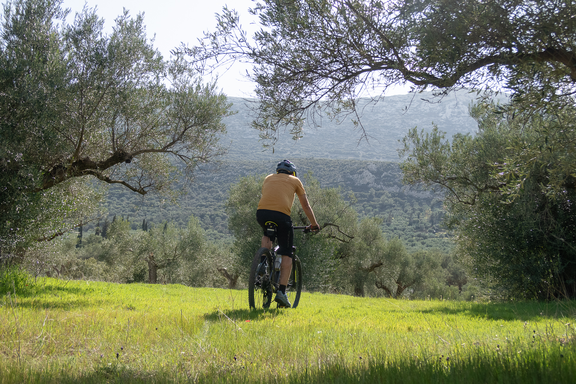
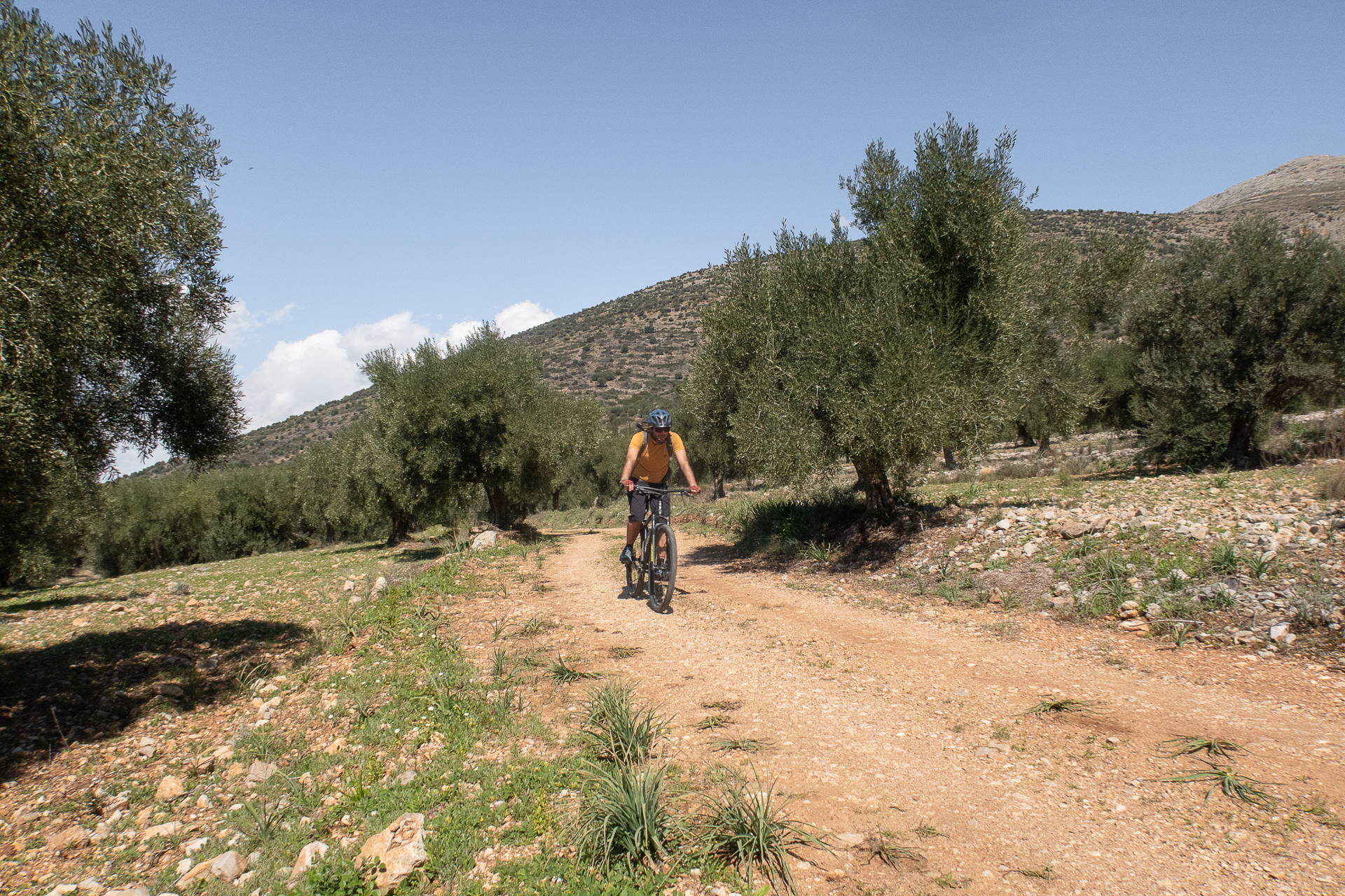
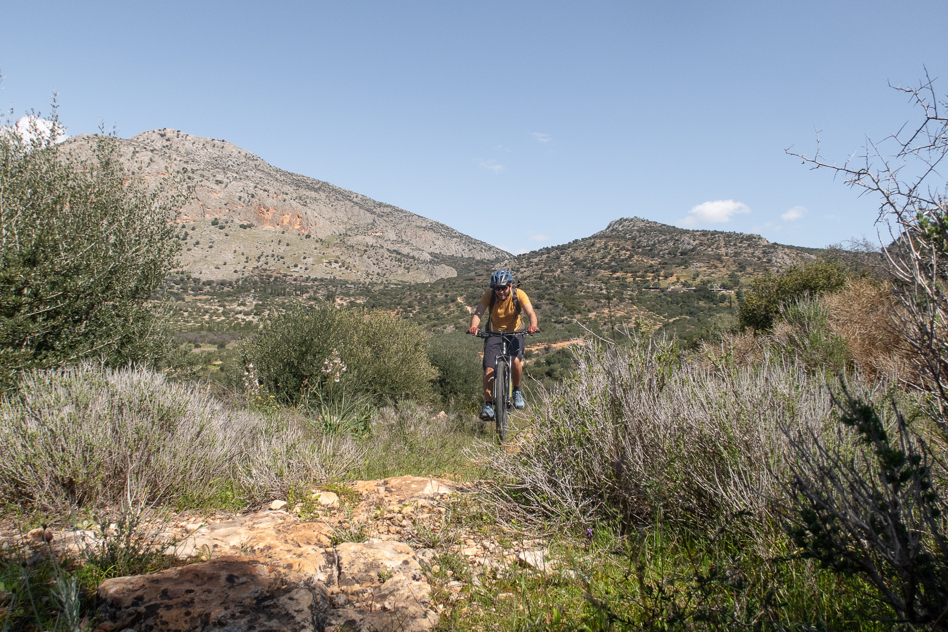
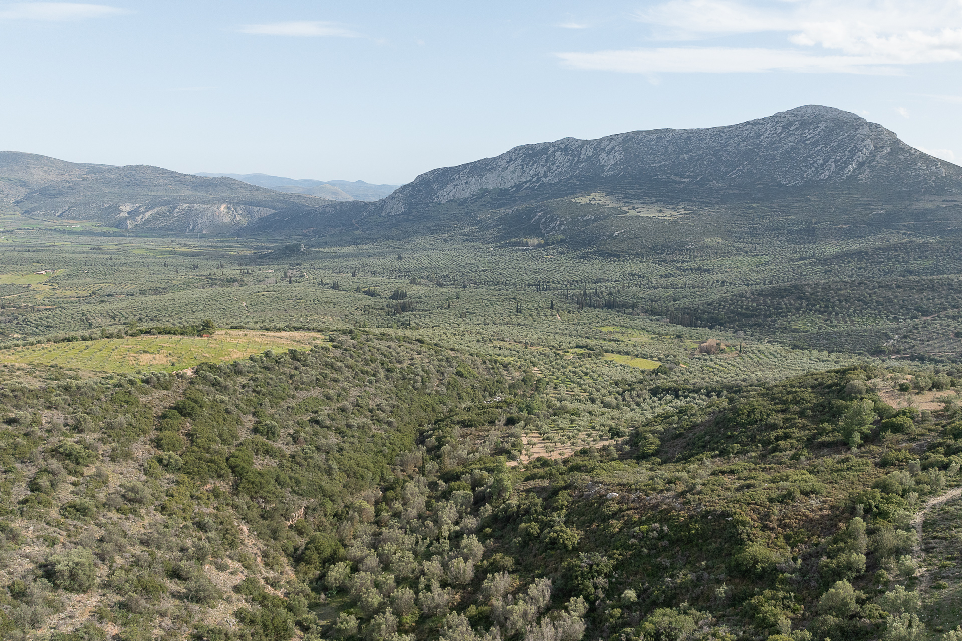
Beyond the archaeological site, the wider region is also rich in Mycenaean remains: spectacular yet neglected tholos tombs hidden in cultivated olive groves, ancient aqueducts and watermills, and the unique “Mycenaean Road.” This road once linked Mycenae to the Prosymna basin, where the Mycenaeans had their farmland, and is considered one of the oldest and best-preserved roads in Europe. Riding along the Mycenaean Road and through the maze of dirt tracks in rocky hills and fertile plains dotted with olive and orange groves is a unique experience—a blend of cycling, exploration, and a hands-on history lesson of the Mycenaean world.
ROUTE DESCRIPTION
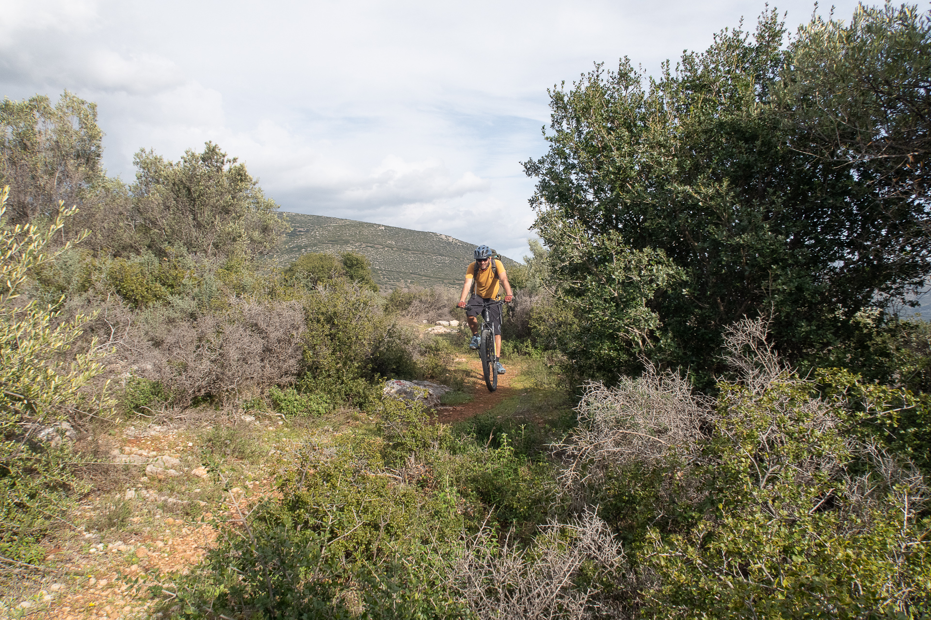
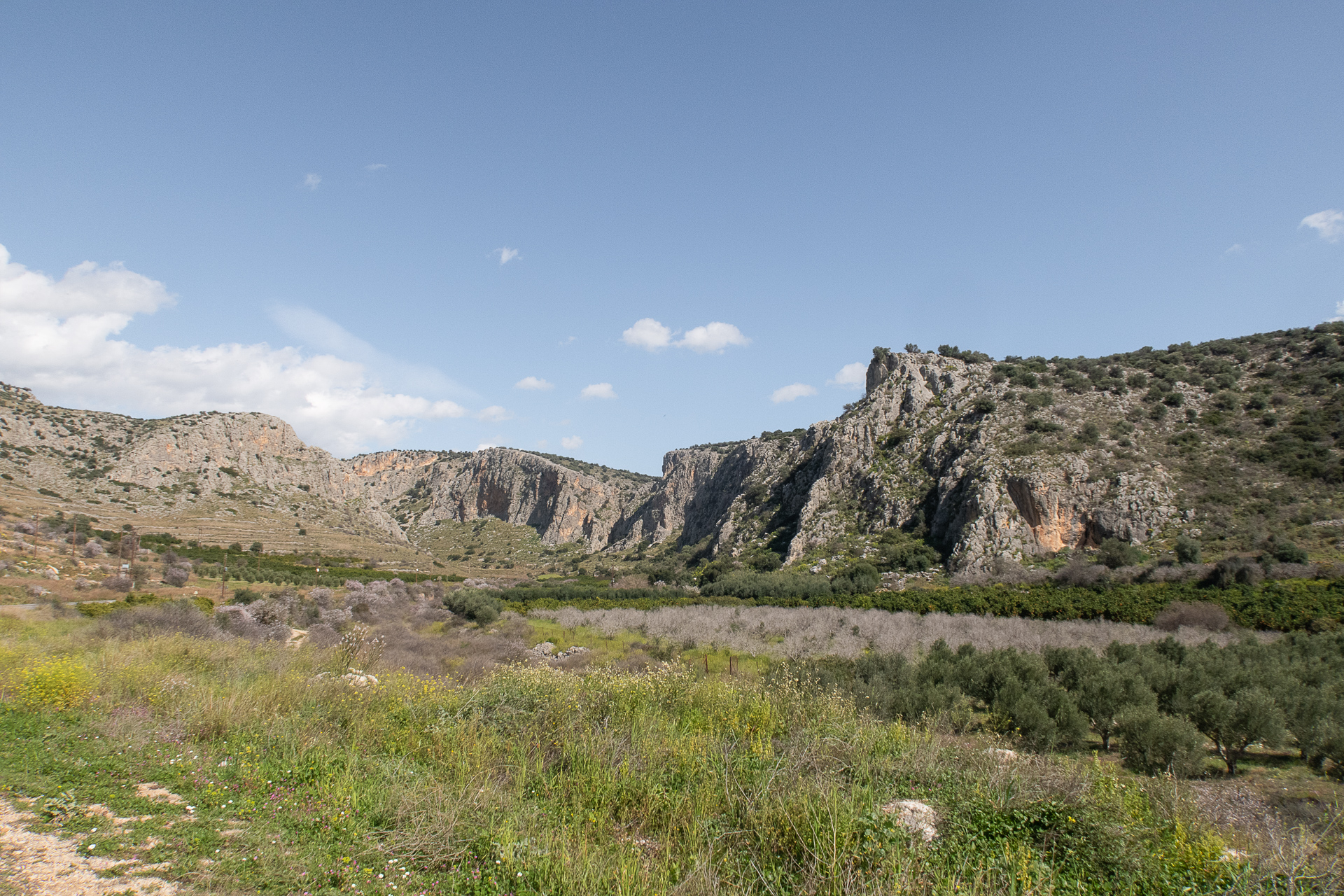
The proposed route begins in the village of Mycenae and heads southeast along scenic country roads on the slopes of Prophet Elias, reaching the archaeological site of the Heraion of Argos. From there, it descends through the dramatic Klisoura Gorge, exiting into the Prosymna basin with its millions of olive trees. Climbing uphill, we eventually reach the Mycenaean Road—a 1.3 km long trail that is mostly rideable, crossing bridges over 3,500 years old, and ending at the archaeological site of Mycenae.
The return to the village follows a downhill asphalt road—damaged in many parts—that leads back to the starting point. Along the last stretch, hidden among olive groves, lie two abandoned yet stunning Mycenaean tholos tombs you should not miss.
25.9 km.
ROAD
DIRTROAD
BAD DIRTROAD
PATH
25.9 km.
ROAD
DIRTROAD
BAD DIRTROAD
PATH
ROAD
BAD DIRTROAD
DIRTROAD
PATH
GALLERY
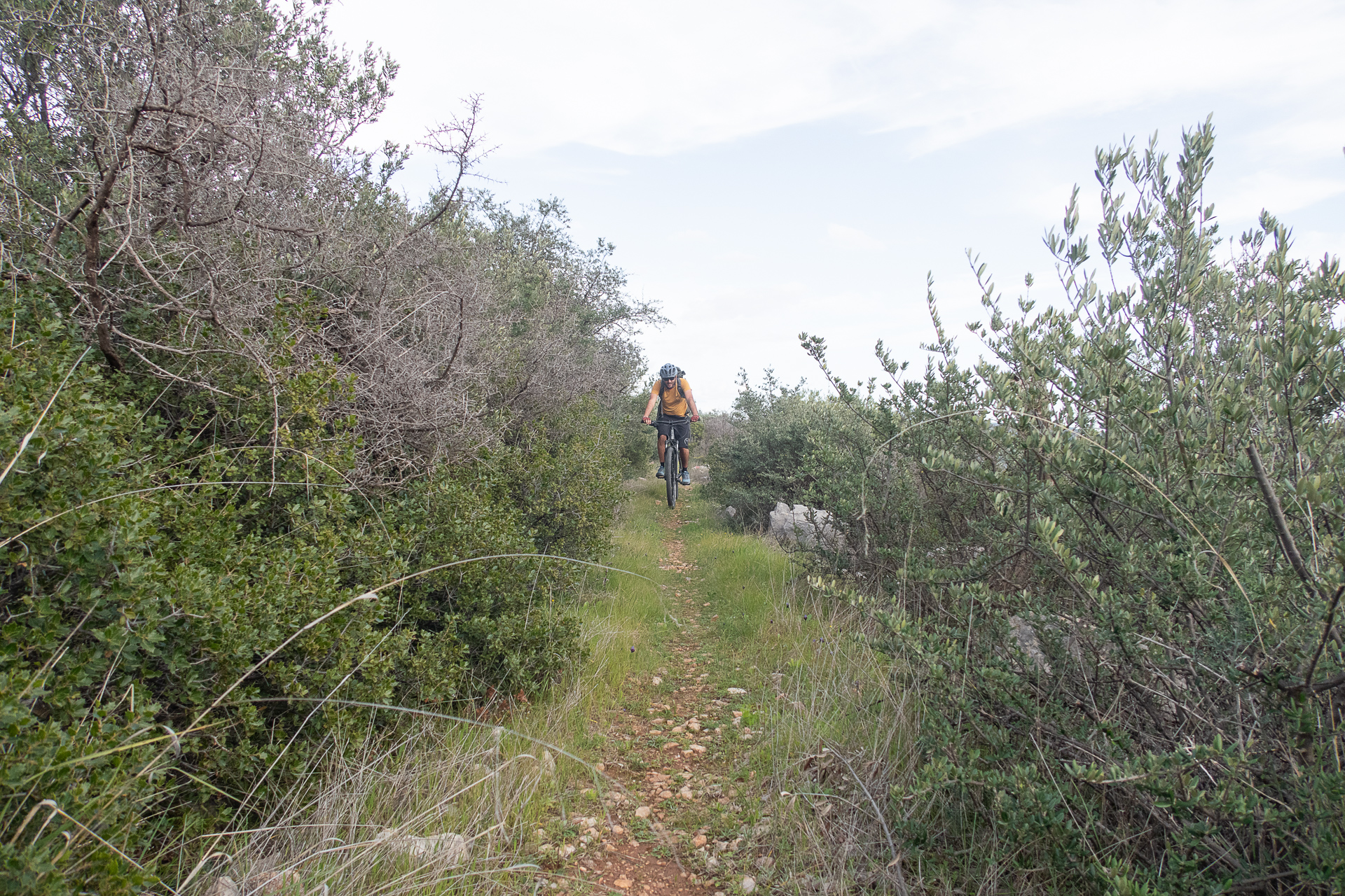
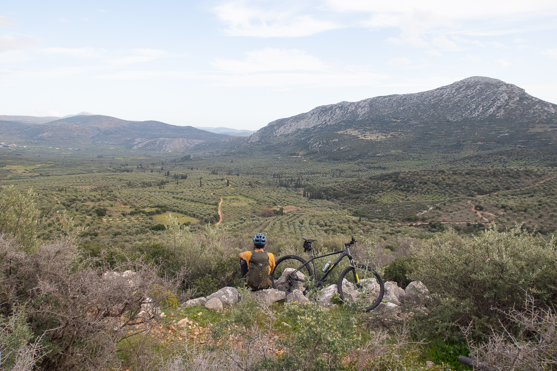
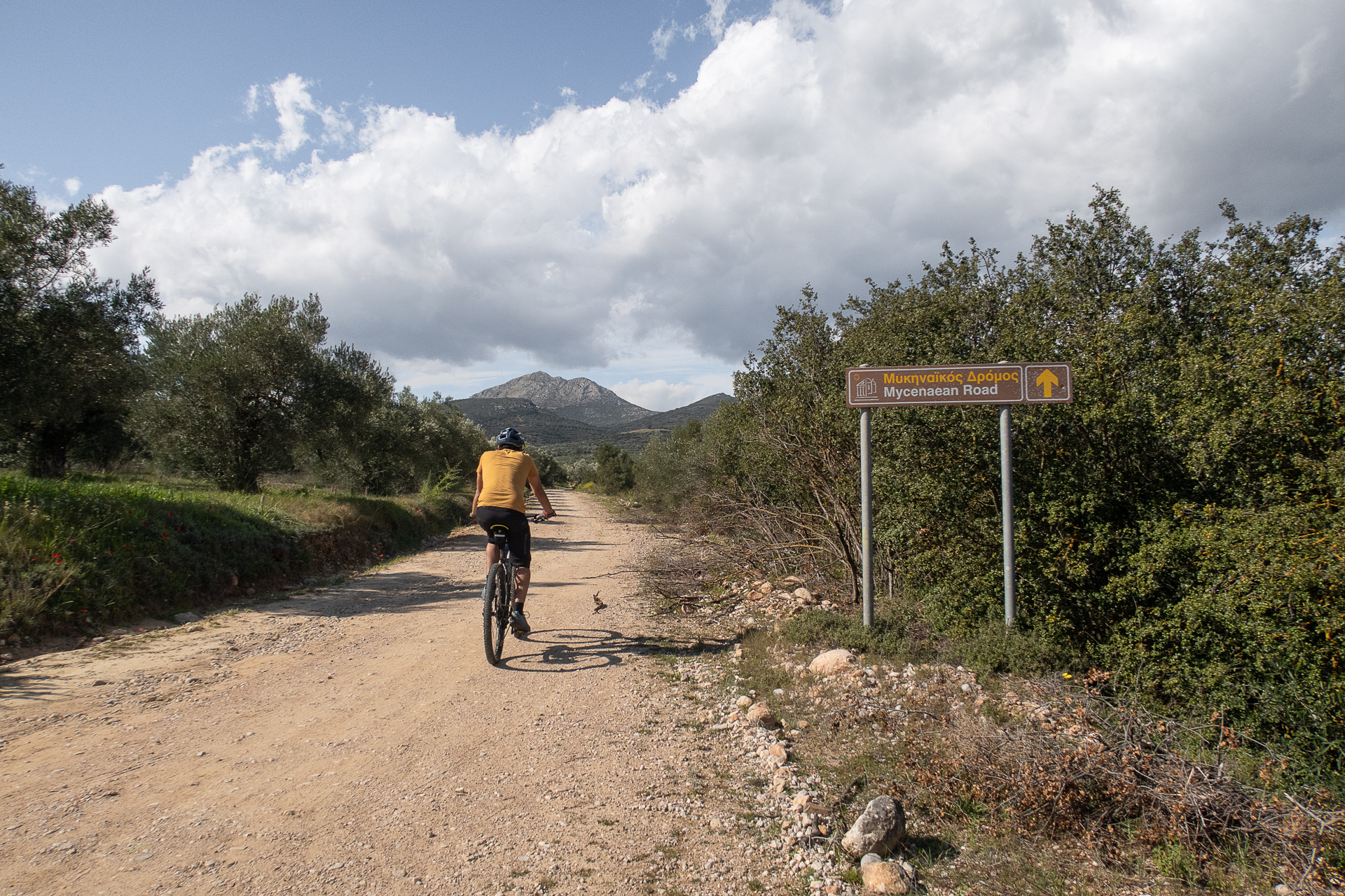
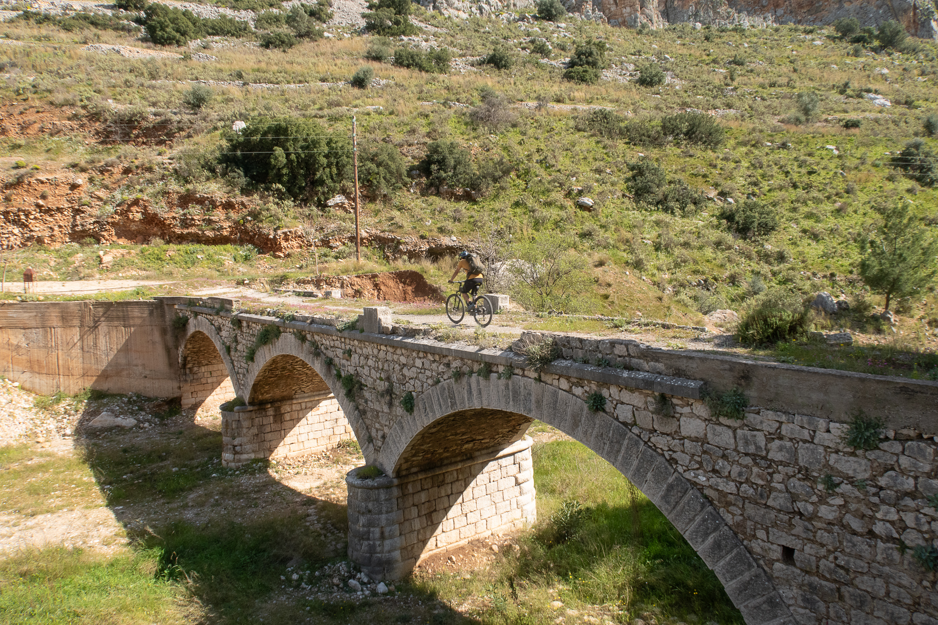
- POINTS OF INTEREST
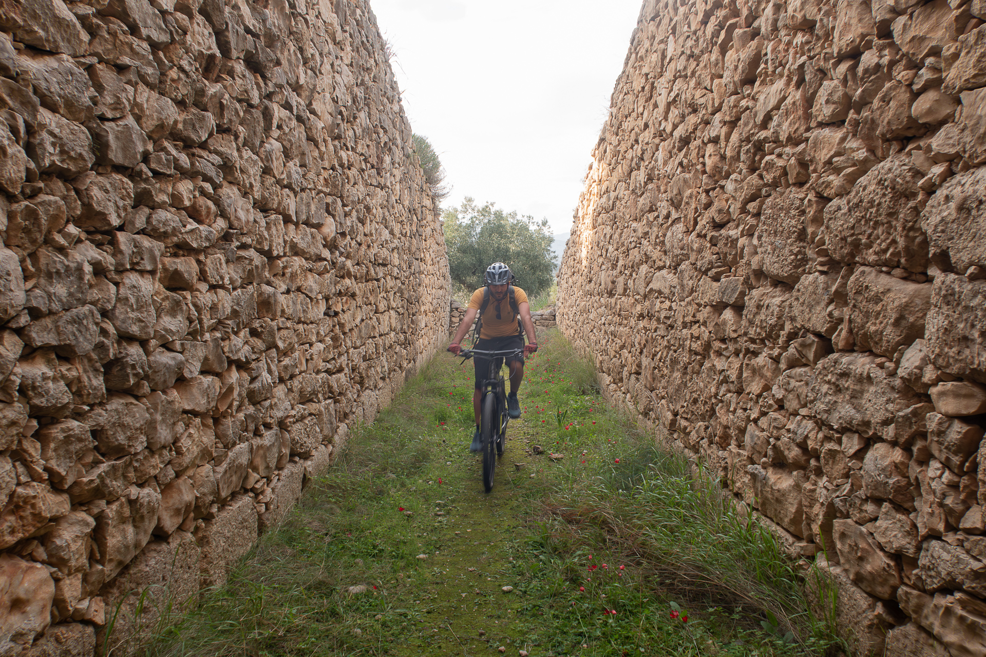
The best-preserved road of the Mycenaean era, built around 1300 BC, connected Mycenae with the Prosymna basin. It includes paved sections and two uniquely engineered bridges of Cyclopean stone, among the oldest in Europe.
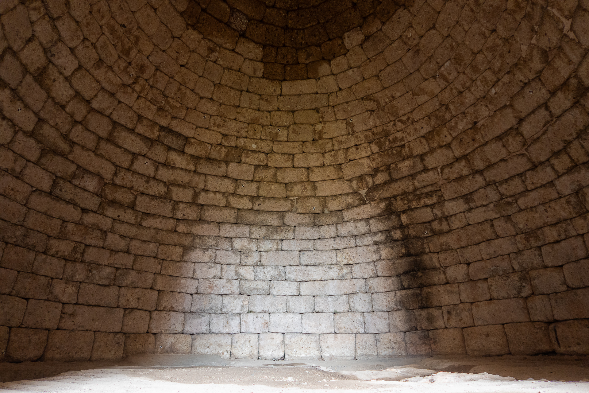
These are subterranean burial monuments characterized by a central vaulted chamber and a long passageway (dromos) leading to the entrance. Built with roughly hewn stones on the exterior and smoothed on the interior, the walls were designed to appear perfectly flat inside. The dromos was lined with stone walls and always faced east. Once construction was completed, the tomb’s entrance was sealed, and the entire structure covered with earth, giving the appearance of a small mound.
Tombs usually contained multiple burials, in floor pits, cists, or on stone benches. To date, 120 such tombs have been discovered in mainland Greece, nine of them in the Mycenae area. Thousands of visitors each year explore the most famous examples, the Treasury of Atreus and the Tomb of Clytemnestra, both within the archaeological site and protected. But others, like the “Tomb of the Demons,” lie forgotten in olive groves. Without GPS guidance (follow the GPX track at 24.1 km), this tomb is nearly impossible to find, yet it is preserved in remarkable condition. A 15 m dromos leads to an 8.4 m diameter vaulted chamber, where cut graves can still be seen in the floor.
ROAD BOOK
| Distance between points | Total distance | Description | |
|---|---|---|---|
| 0 | 0 |  |
Starting point: The restaurant “King Menelaos” in the center of Mycenae. Begin on the concrete road opposite, towards Agios Ioannis. |
| 0.2 | 0.2 |  |
Ignore the first road on the right. Then go straight–right at the fork (left goes to Agios Ioannis). |
| 0.1 | 0.3 |  |
Ignore the next road on the right (just after a fenced property). |
| 0.3 | 0.6 |  |
Ignore two minor dirt roads on the left, then turn left uphill at the fork. |
| 0.3 | 0.9 |  |
At the next fork, turn right. |
| 0.3 | 1.2 |  |
At the bottom of the short downhill, in the streambed, turn right. |
| 0.1 | 1.3 | |
Immediately after, at a fork, turn left uphill. |
| 0.3 | 1.6 |  |
At the end of the road, turn left onto asphalt. |
| 0.2 | 1.8 | |
At the top of the climb, right at the fork (dirt road). |
| 0.1 | 1.9 | |
Shortly after, right again at a fork. |
| 0.2 | 2.1 | |
At the next fork, right once more. |
| 0.1 | 2.2 |  |
Where the concrete road begins and crosses the stream, diagonally right onto a secondary dirt road. |
| 1.0 | 3.2 | |
At the end, left onto asphalt. |
| 0.3 | 3.5 | |
At the church of Zoodochos Pigi, straight onto a dirt road. |
| 0.6 | 4.1 |  |
At the junction, straight slightly uphill. |
| 0.8 | 4.9 | |
At the end, straight (left) onto concrete towards the Church of Taxiarchs. |
| 0.2 | 5.2 | |
At the small chapel, diagonally right onto dirt road. |
| 0.1 | 5.3 | |
At the next fork, left slightly uphill. |
| 1.4 | 6.7 |  |
Just before the downhill ends, diagonally left back onto a dirt road towards “Prophet Elias”.Midway uphill, at a property with a concrete cistern, turn right downhill. |
| 0.6 | 7.3 | |
Midway uphill, at a property with a concrete cistern, turn right downhill. |
| 1.1 | 8.4 | |
At the junction after a sheepfold, straight on the broken asphalt. |
| 0.6 | 9.0 | |
At the end, left onto the main asphalt towards Klisoura Gorge. |
| 4.8 | 13.8 | |
On the first dirt road after the bridge, diagonally left backwards. |
| 0.4 | 14.2 | |
Just past a sheepfold, go straight (middle of 3 roads). |
| 1.1 | 15.3 | |
At the next asphalt road, straight across onto dirt. |
| 0.8 | 16.1 |  |
At the following asphalt road with a white shrine, turn left. |
| 0.2 | 16.3 |  |
At the first dirt road, turn right. |
| 0.4 | 16.7 | |
At a fork, with a stone watermill on the right, turn right towards “Mycenaean Road.” |
| 0.2 | 16.9 | |
At the next fork, right again towards “Mycenaean Road.” |
| 1.2 | 18.1 | |
Midway uphill, left at a fork towards “Mycenaean Road.” |
| 1.0 | 19.1 | |
At the top, left at a junction onto a path to the “Mycenaean Road.” |
| 0.7 | 19.8 | |
At the end of the path, right at a fork following red signs. |
| 0.7 | 20.5 | |
At the end of the trail, continue on dirt through an olive grove. At the end, sharp right onto dirt road. |
| 0.4 | 20.9 | |
At the end, sharp left continuing on dirt. |
| 0.8 | 21.7 |  |
At the first dirt road, sharp left. |
| 3.4 | 25.1 | |
After passing the tombs, right downhill at a fork. |
| 0.4 | 25.5 | |
In Mycenae square, left at the fork to return to the starting point. |