
MOUNT AIGALEO
KILOMETERS
DURATION
ELEVATION
PROPOSED SEASON
DIFFICULTY
PHYSICAL CONDITION
TECHNICAL DIFFICULTY
STARTING POINT
Author:
G. Koutrotsios
Photos:
G. Koutrotsios - V. Karalaios
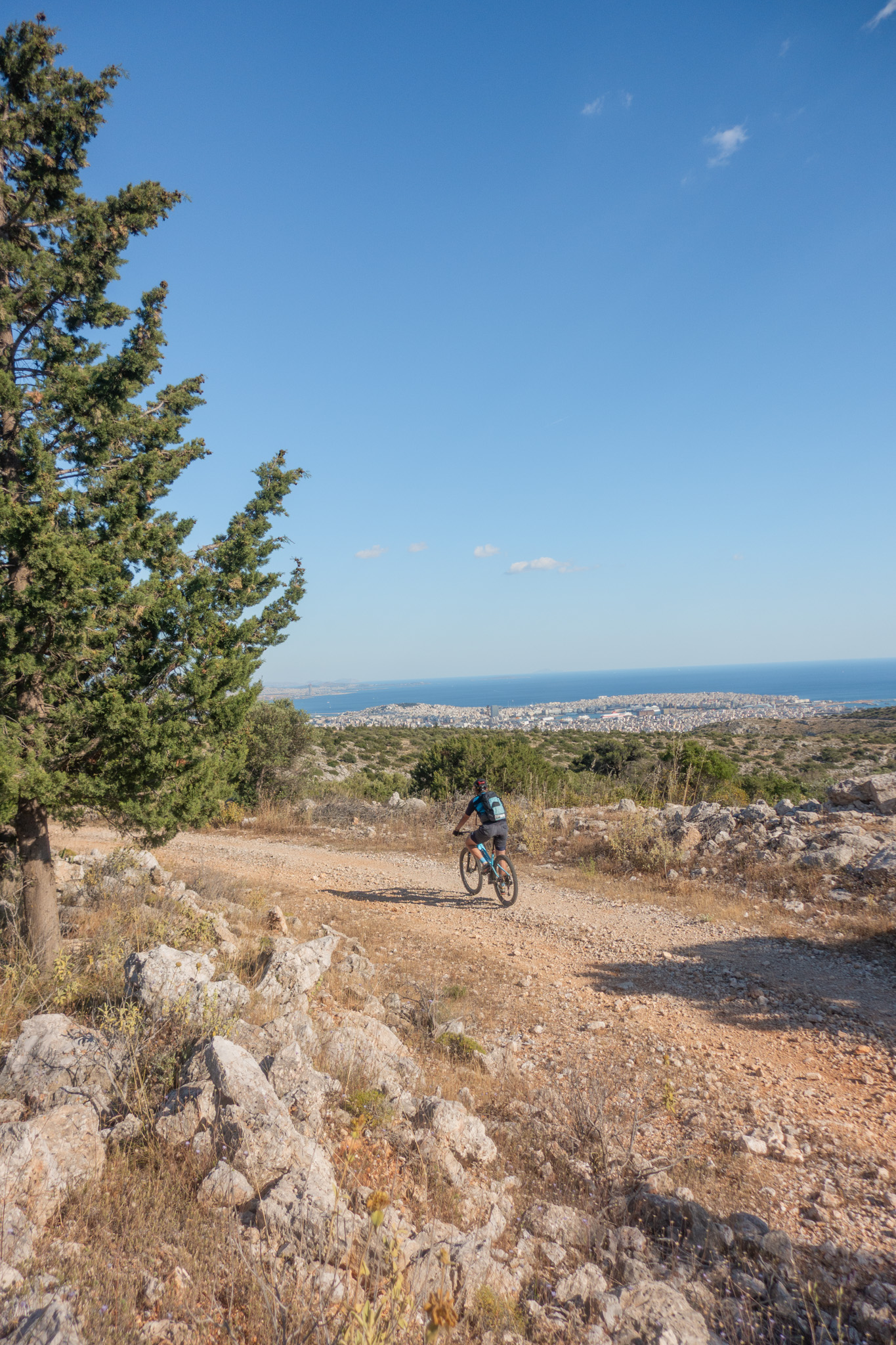
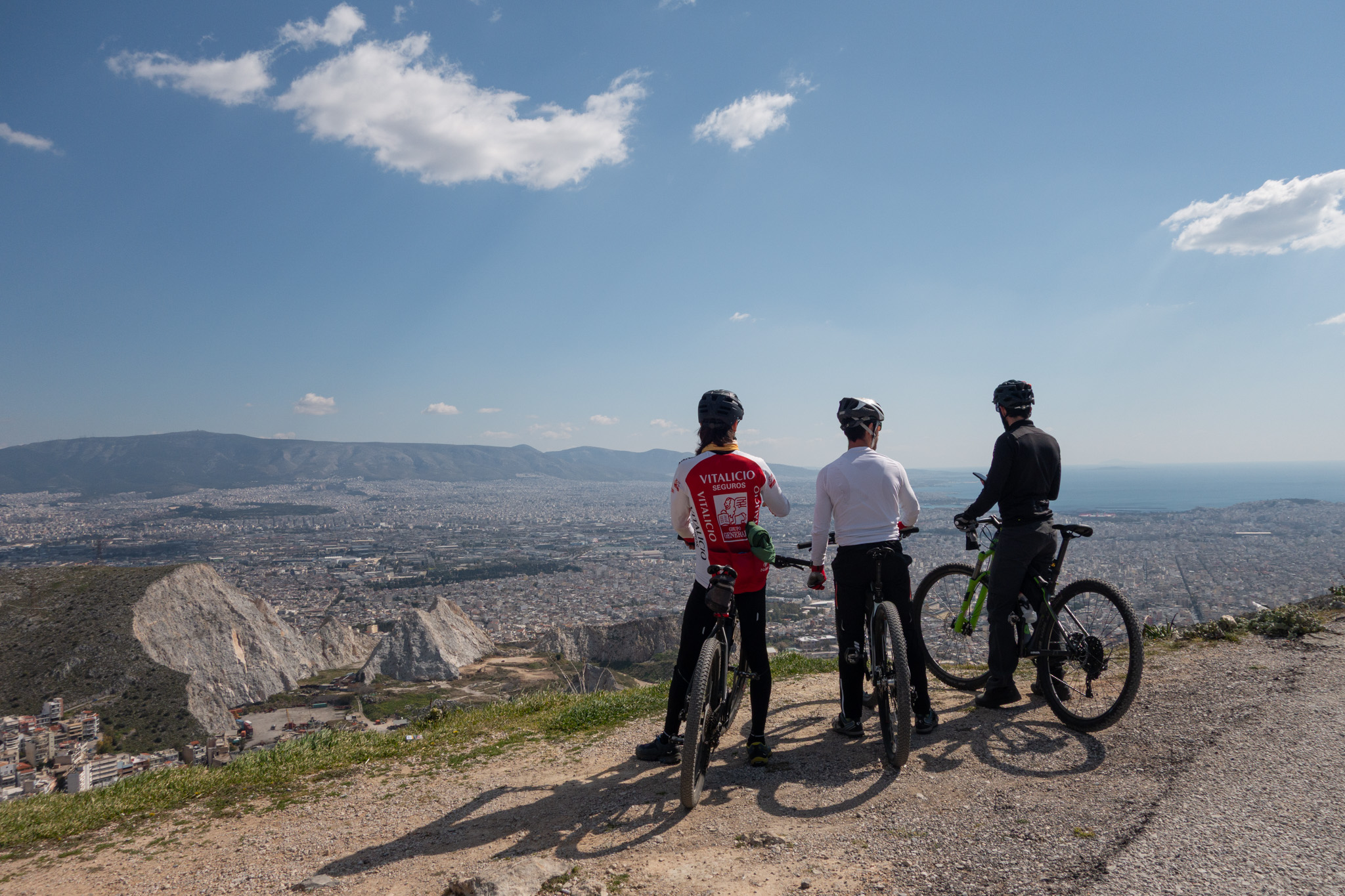
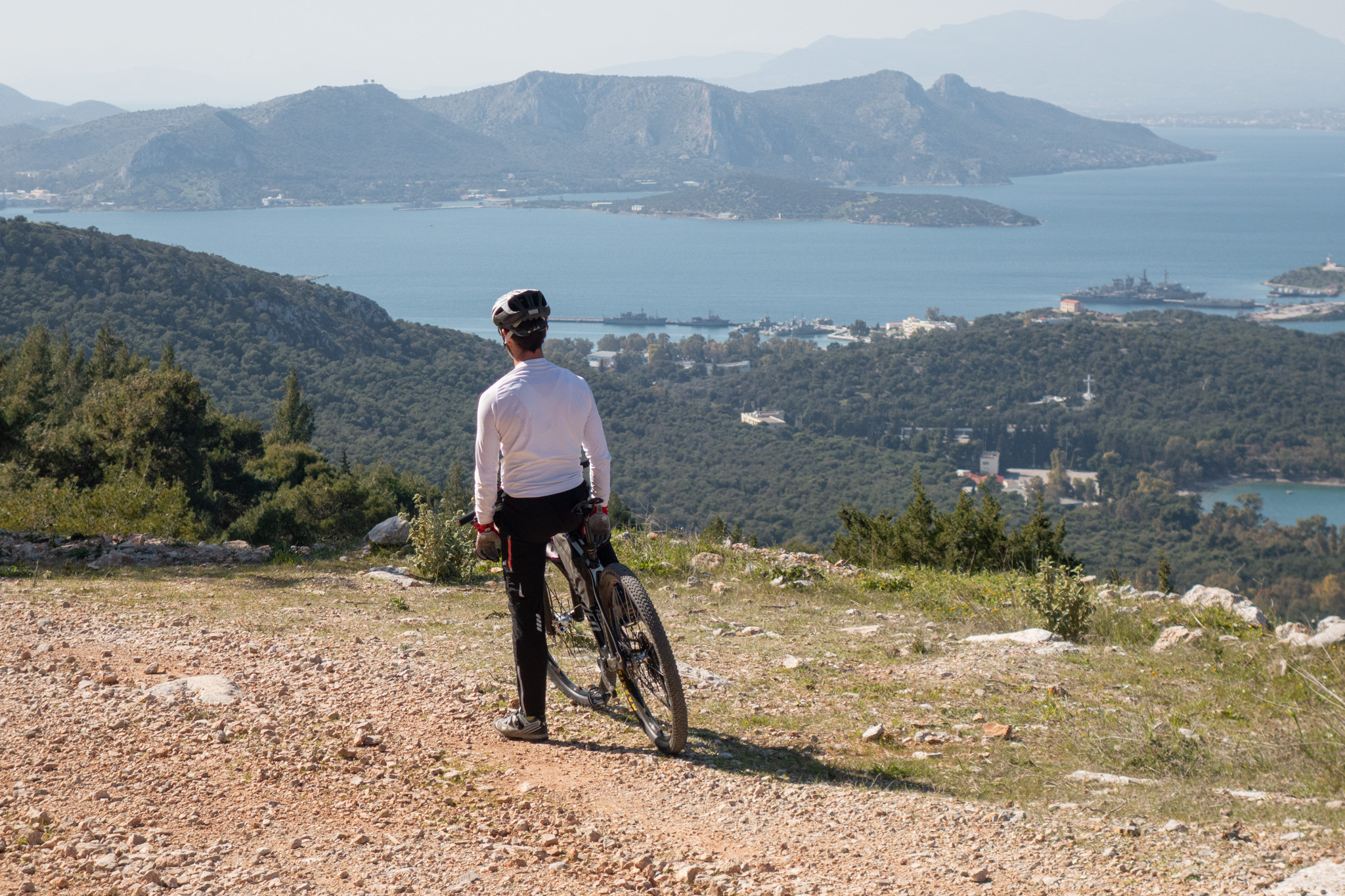
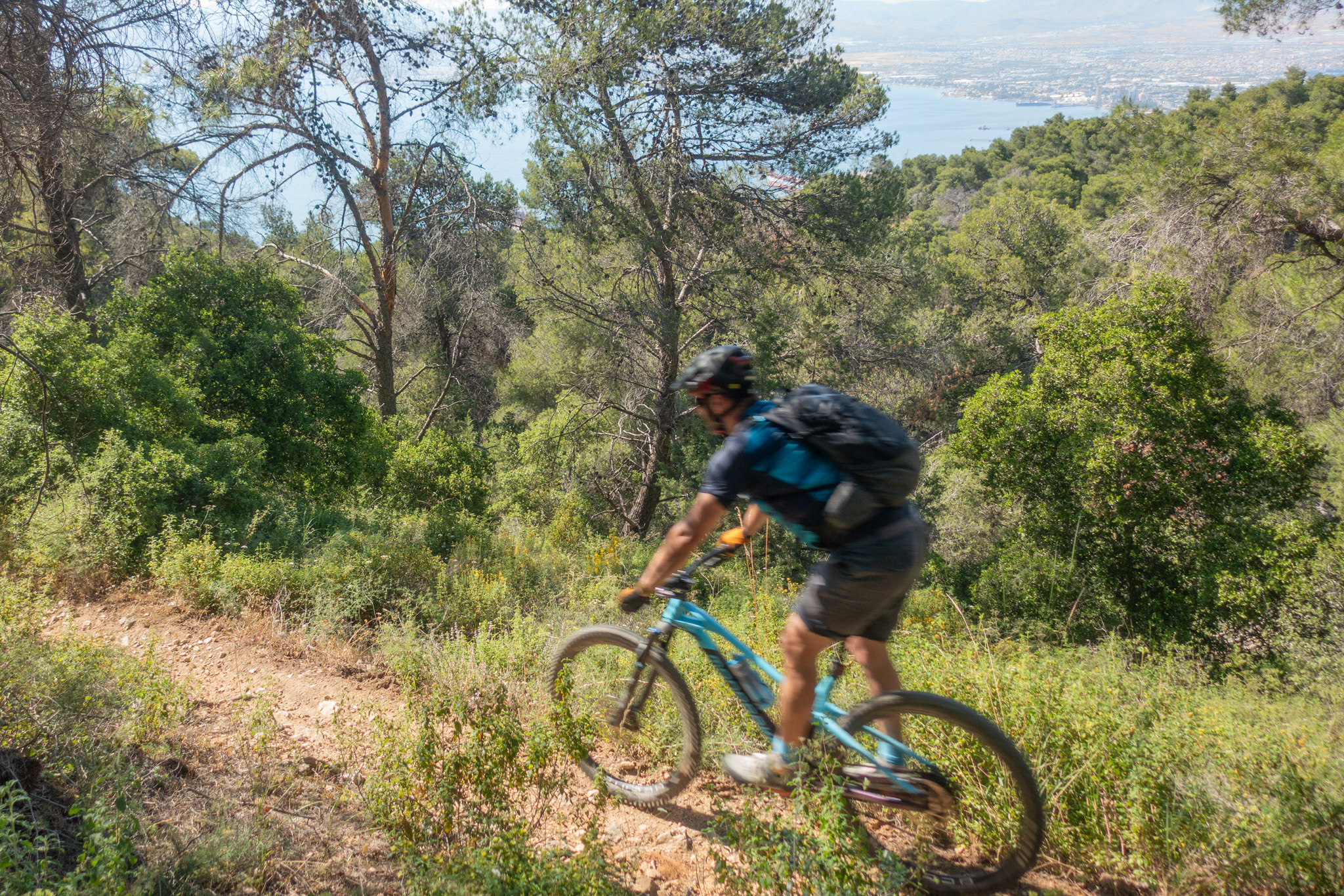
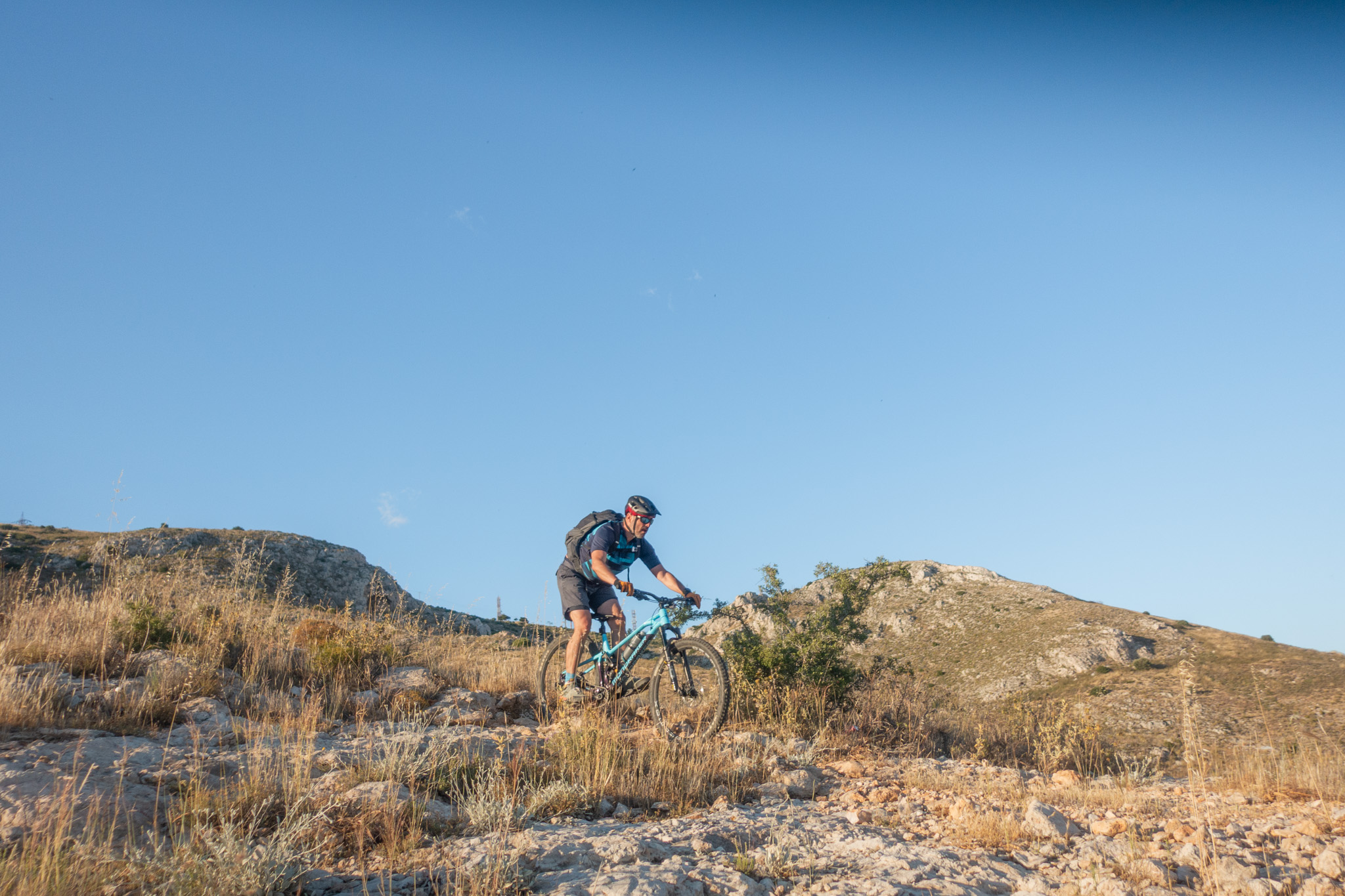
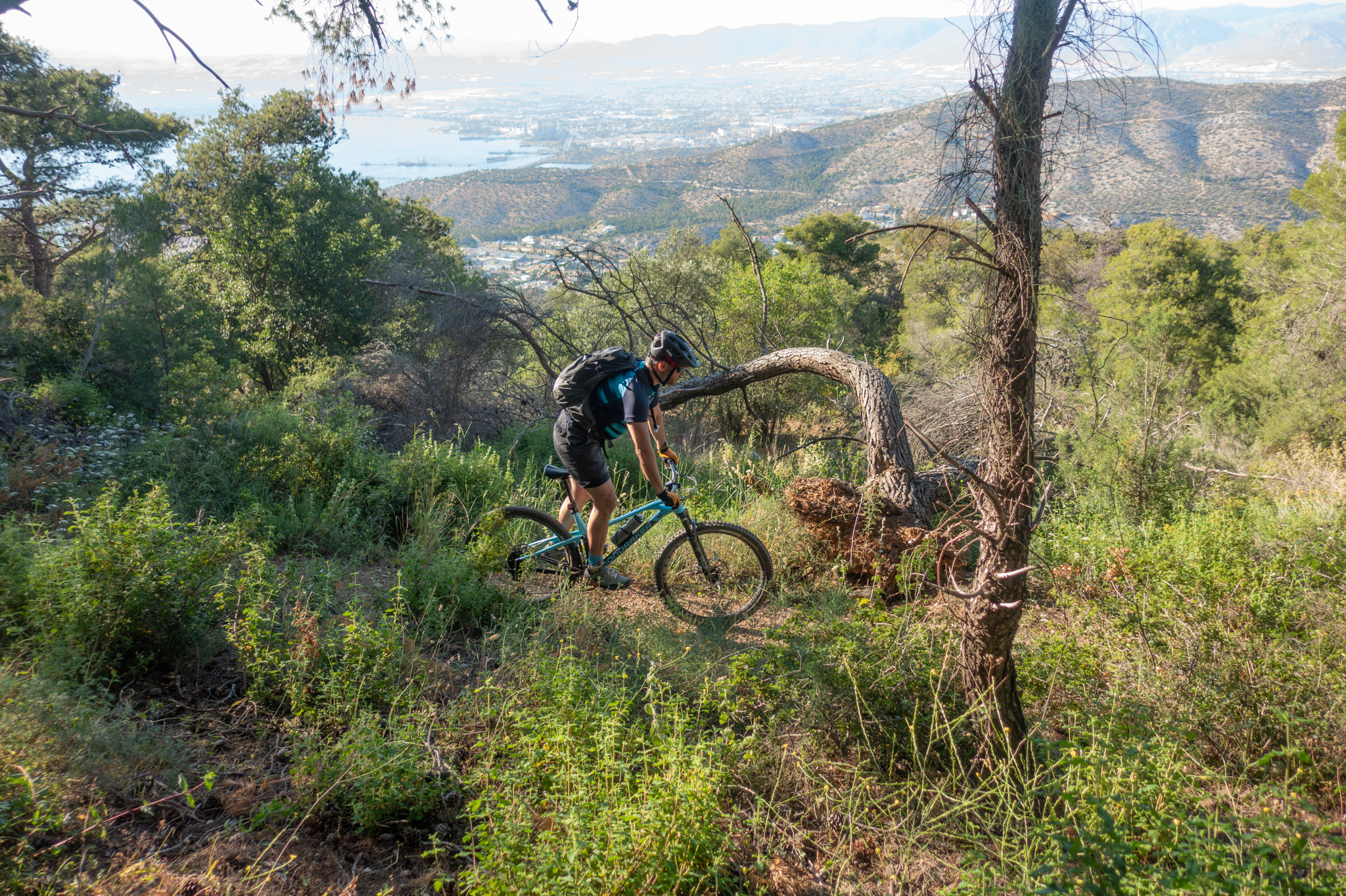
A little-known riding destination on the western edge of Athens, offering fun and well-maintained singletracks, rugged dirt roads and uninterrupted views over the Athens basin and the Saronic Gulf. An ideal route for training rides, quick after-work escapes and carefree trail sessions right next to the urban landscape.
INTRODUCTION
Mount Aigaleo and Poikilo Mountain form a connected mountain range stretching from Mount Parnitha to Perama. Extending for 16.5 km in a southwest to northeast direction, they create the natural boundary between the Athens basin and the Thriasio Plain. The range has an elongated shape with a maximum width of 3.5 km and is split near Haidari by the Athens–Corinth National Highway.
The highest peak of Mount Aigaleo is Koukos (463 m). Its slopes are generally smooth and rounded, dominated by limestone formations that carve shallow ravines across the terrain.
The name “Aigaleo” is believed to derive from the Greek words for “goat” and “people”, reflecting the area’s long pastoral history, as local populations once grazed their herds on these mountains.
Since ancient times, the two mountains held strategic importance as the western natural border of Athens. Between Aigaleo and Poikilo passed the Sacred Way, the oldest road in Greece, while the area was also home to the Sanctuary of Aphrodite and the Temple of Apollo Daphnaios. The passage was fortified to protect the city of Athens.
In 480 BC, the Persian king Xerxes watched the Battle of Salamis from a summit of Mount Aigaleo — a decisive Greek victory that devastated the Persian fleet. During the Byzantine era, the famous Daphni Monastery was founded nearby on the ruins of the ancient temple of Apollo Daphnaios.
Until the 19th century, both mountains were covered by dense forest. Following the arrival of refugees in 1923, the first major human pressures began to reshape the landscape. During the German occupation and especially throughout the harsh winter of 1941, vast forested areas were cut down for heating and survival. Combined with uncontrolled grazing, the rocky terrain prevented the forest from naturally regenerating across much of the mountain.
Even greater pressure came during the 1960s due to rapid urban expansion and the uncontrolled operation of large quarries supplying construction materials for the growing city of Athens. In recent decades, several former quarry sites have been transformed into recreational and sports areas.
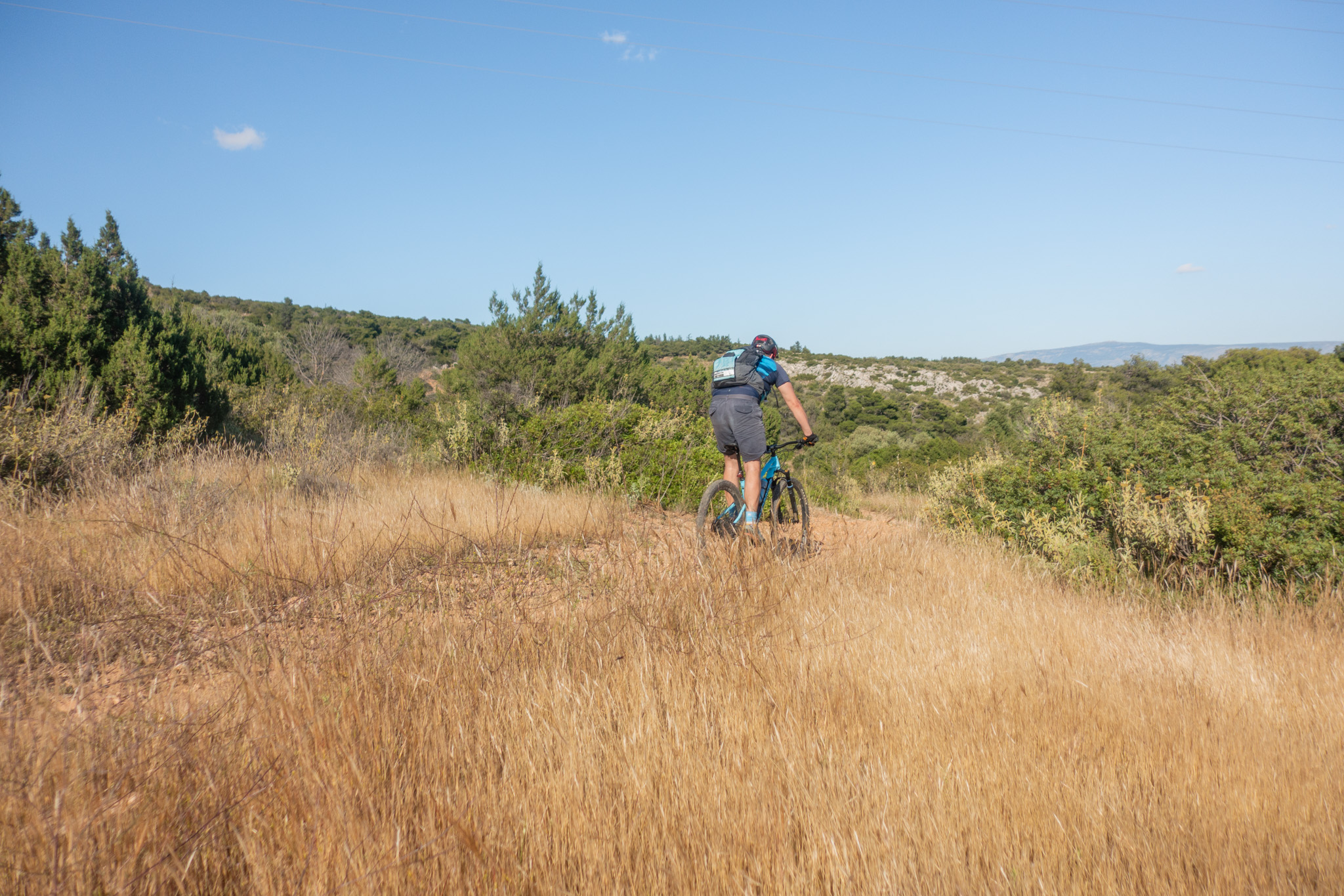
Despite the intense human impact, the mountain is far from ecologically dead. The decline of livestock grazing has allowed native vegetation to slowly recover. Today, visitors can still encounter dense pine forests on the western slopes, while much of the mountain is covered by Mediterranean shrubland and low vegetation.
Wildlife remains relatively limited due to the mountain’s small size, though foxes, hedgehogs and several reptile species are still present. Birds of prey such as sparrowhawks and buzzards can also be spotted, along with the iconic island partridges, which unfortunately continue to face pressure from illegal hunting.
Recent botanical surveys revealed an unexpectedly rich ecosystem, identifying around 750 plant species in the Aigaleo–Poikilo range, including 41 endemic to Greece.
ROUTE DESCRIPTION
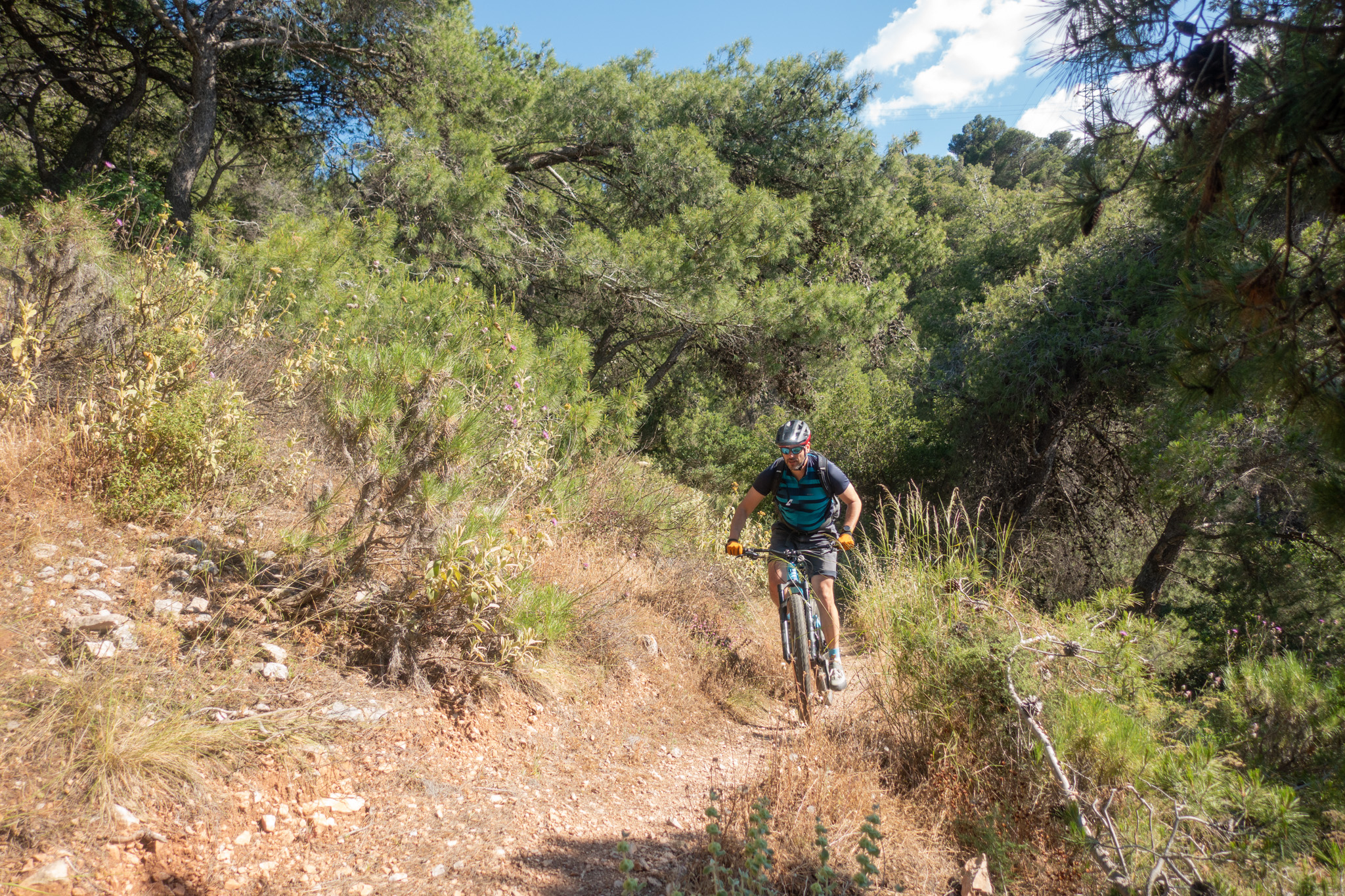
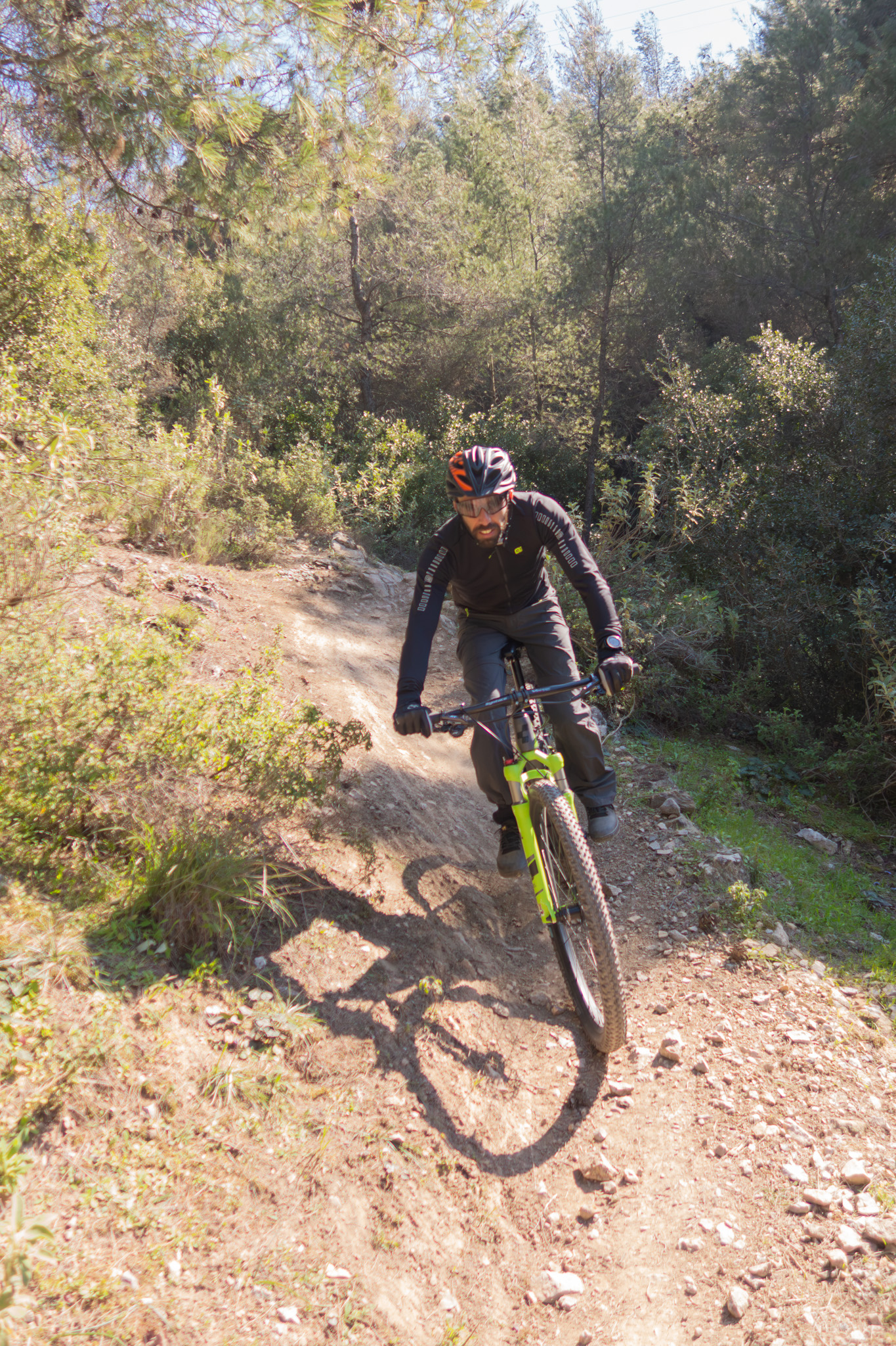
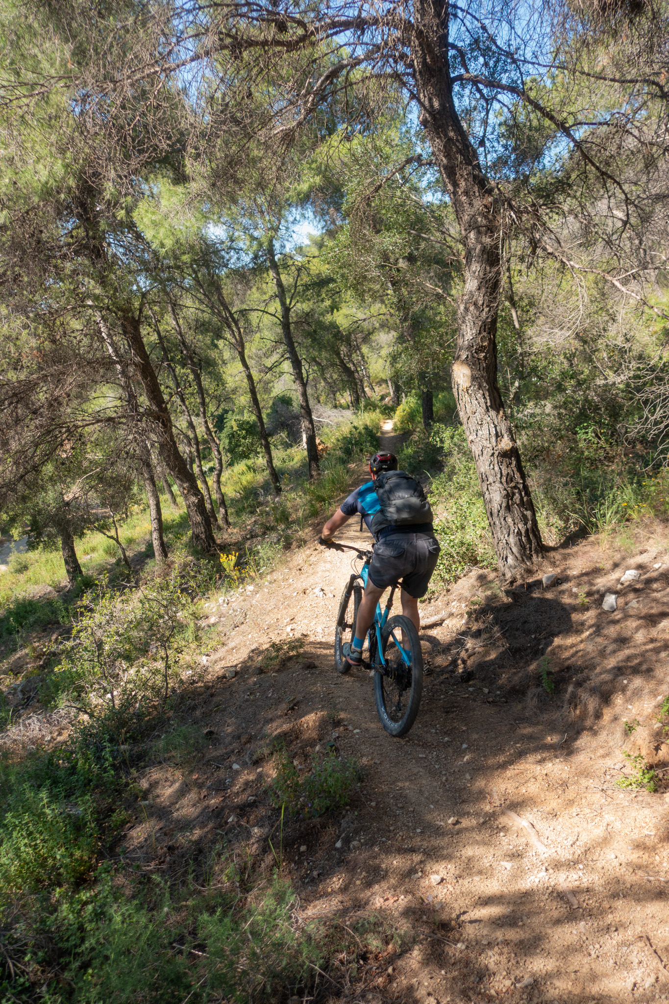
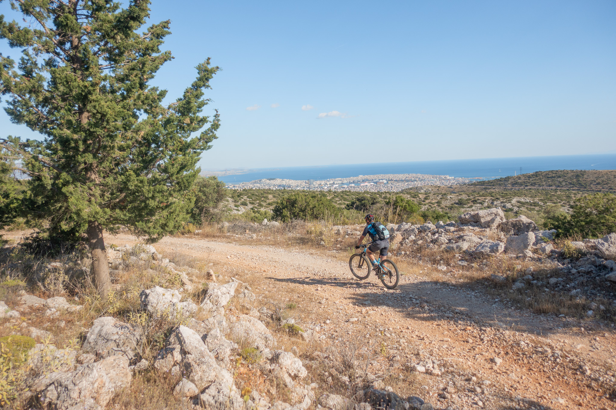
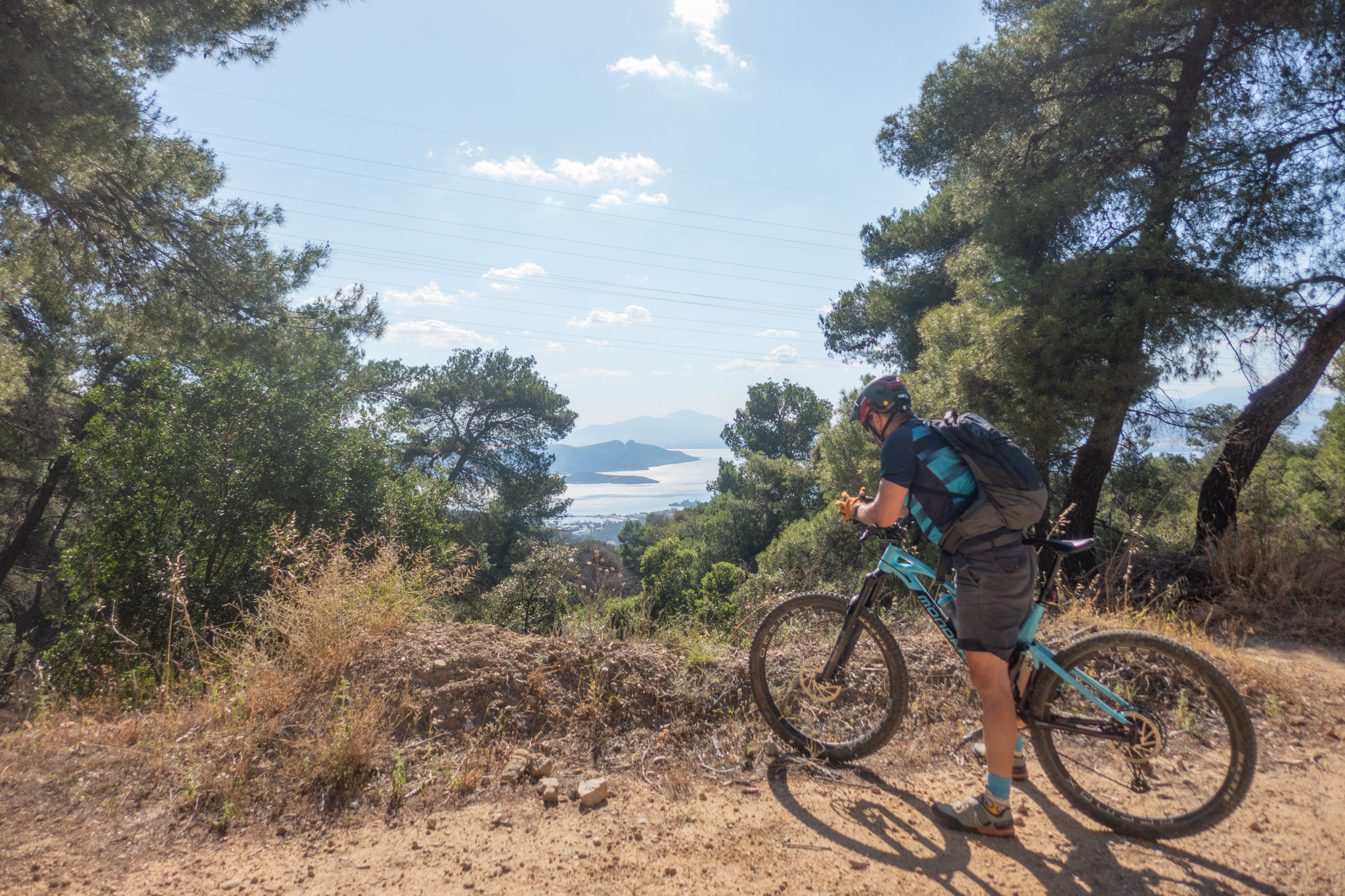
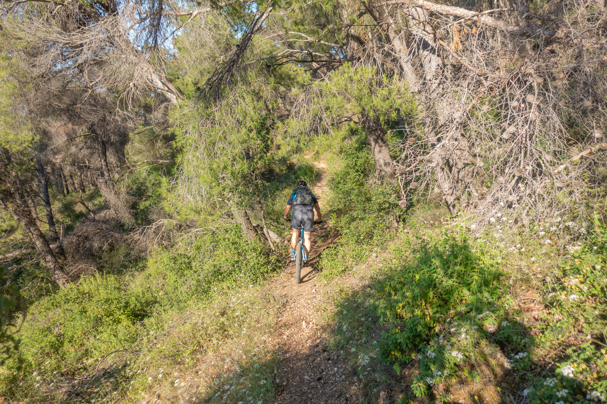
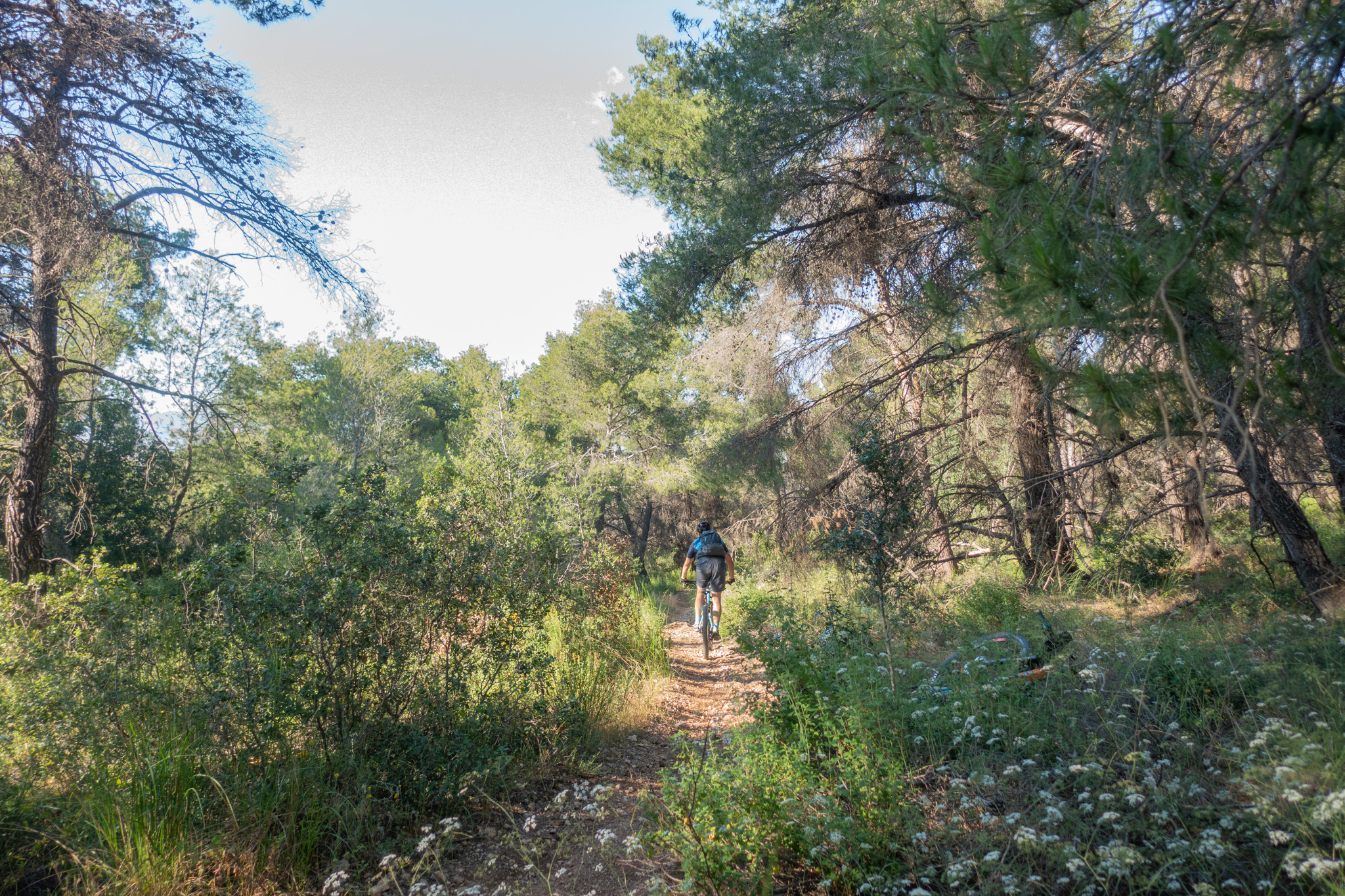
Starting from Korydallos Metro Station — allowing easy access without the need for a car — the route climbs onto Mount Aigaleo and explores its slopes through mellow dirt roads and perfectly crafted, well-maintained singletracks built and cared for by the local MTB community.
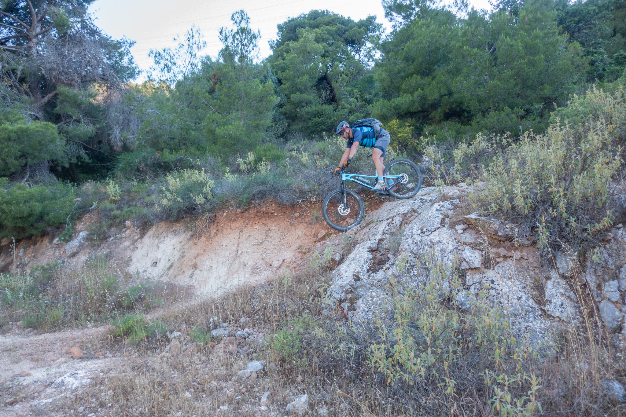
The route forms two loops around the mountain’s highest points, linking together some of the most enjoyable trails in the area, including “The Tortoise Trail”, “2-3”, “West Coast”, “Hunting”, “Too Soon” and parts of “Mi Les Psemata”.
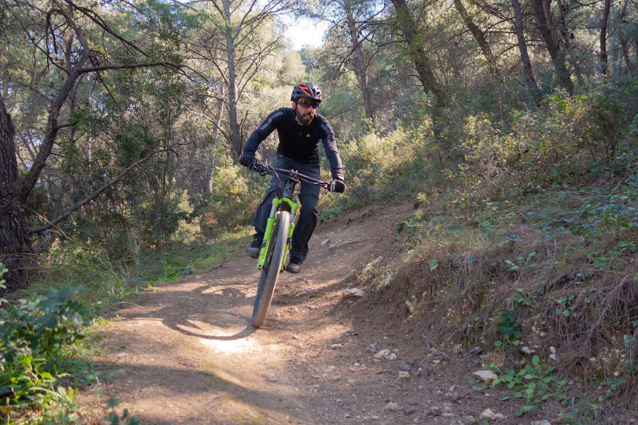
The trails offer excellent flow, constant rhythm changes and only moderate technical difficulty, making the route suitable even for hardtail bikes.
There are no water sources along the route, while temperatures can become extremely high during the summer months. Avoid riding during peak midday heat and carry plenty of water.
27,3 km.
ROAD
DIRTROAD
BAD DIRTROAD
PATH
27,3 km.
ROAD
DIRTROAD
BAD DIRTROAD
PATH
ROAD
BAD DIRTROAD
DIRTROAD
PATH
GALLERY
ROAD BOOK
| Distance between points | Total distance | Description | |
|---|---|---|---|
| 0 | 0 |  |
Start at Korydallos Metro Station. Head north on Agiou Georgiou Street. |
| 0.3 | 0.3 |  |
At the 3rd street, turn diagonally left onto Nikitara Street. |
| 0.1 | 0.4 |  |
At the main road (Grigoriou Lambraki Avenue), turn left |
| 2.2 | 2.6 |  |
Just after the small park, turn right onto Bali Street. |
| 0.2 | 2.8 |  |
At the end of the road, turn left onto Galinou Street. |
| 0.1 | 2.9 | |
Before the first house, turn right onto a trail. |
| 0.1 | 3.0 |  |
At the 2nd road, turn left uphill onto Manou Katraki Street. |
| 0.1 | 3.1 |  |
Take the first right onto Iroon Street. |
| 1.8 | 4.9 |  |
At the first junction, continue straight (take the middle of the three roads). |
| 0.8 | 5.7 |  |
At the second junction, continue straight again (second road from the left). |
| 1.7 | 7.4 |  |
Ignore the three roads on the right. At the hunters’ shelter, take the right fork. |
| 0.6 | 8.0 | |
At the junction with the fences, continue straight (middle road of the three). |
| 0.3 | 8.2 |  |
At the next junction, turn sharply right onto the road behind you. |
| 0.1 | 8.3 |  |
After 20 m, turn sharply left again onto a trail |
| 0.6 | 8.9 | |
At the end of the trail, cross the road and continue on the trail opposite. |
| 1.0 | 9.9 | |
At the end of the trail, turn left onto the dirt road |
| 1.0 | 10.9 |  |
At the first fork, keep left. |
| 1.1 | 12.0 | |
At the next fork, keep left again. |
| 1.1 | 13.1 |  |
At the following fork, continue left/straight. |
| 0.3 | 13.4 | |
At the next junction, turn hard right onto a trail. |
| 0.2 | 13.6 | |
At the end of the trail, turn left onto the dirt road. |
| 0.9 | 14.5 | |
At the hunters’ shelter, turn left onto the same road used earlier in the route. |
| 0.7 | 15.2 | |
At the junction with the fences, continue straight (middle road again). |
| 0.2 | 15.4 | |
At the next junction, turn sharply right onto the road behind you. |
| 0.3 | 15.7 | |
At the first right-hand bend, turn hard left onto a trail. |
| 0.5 | 16.2 | |
At the first trail fork, keep right. |
| 0.1 | 16.3 | |
At the second trail fork, keep right again. |
| 0.8 | 17.1 |  |
At the end of the trail, turn right onto the dirt road. |
| 0.1 | 17.2 | |
At the first right-hand bend, turn diagonally left onto a trail (not the trail heading sharply left). |
| 0.7 | 17.9 | |
At the end of the trail, turn right onto the dirt road. |
| 1.2 | 19.1 | |
At the junction with the fire-water reservoir, turn left. |
| 0.2 | 19.3 | |
At the end of the road, turn right onto the old asphalt road |
| 1.7 | 21.0 | |
After the small chapel, turn diagonally left onto the dirt road |
| 1.3 | 22.3 | |
At the junction with the cables/barriers, turn left. |
| 0.7 | 23.0 | |
At the hunters’ shelter, turn diagonally left onto a trail. |
| 0.2 | 23.2 | |
At the end of the trail, turn left onto the dirt road. |
| 0.1 | 23.3 | |
Shortly after, at the first left-hand bend, turn hard right onto a trail. |
| 0.8 | 24.1 | |
At the end of the trail, turn left onto the dirt road. |
| 0.4 | 24.5 | |
At the end of the road (bus terminal), turn left onto Angelou Sikelianou Street. |
| 0.1 | 24.6 | |
Take the first left onto Pyrrou Street. |
| 0.1 | 24.7 | |
Immediately after, turn right onto Gkoura Street. |
| 1.0 | 25.7 | |
At the end of the road, turn left onto Mouson Street. |
| 0.1 | 25.8 | |
At the roundabout, turn right. |
| 0.1 | 25.9 | |
Take the 2nd exit right onto Analipseos Street. |
| 0.1 | 26.0 | |
Continue straight through the first junction onto Koutaisi Street. |
| 0.2 | 26.2 | |
At the main road (Grigoriou Lambraki Avenue), turn left. |
| 0.6 | 26.8 |  |
Turn diagonally right onto Athinas Street to return to Korydallos Metro Station |