
KOZIAKAS & TRIGGIA
KILOMETERS
DURATION
ELEVATION
PROPOSED SEASON
DIFFICULTY
PHYSICAL CONDITION
TECHNICAL DIFFICULTY
STARTING POINT
Author:
A. Leontaritis
Photos:
G. Koutrotsios - A. Leontaritis
Exploring the Mountains of the Southern Pindus: From the Peneios River to Neraidochori and the Aspropotamos
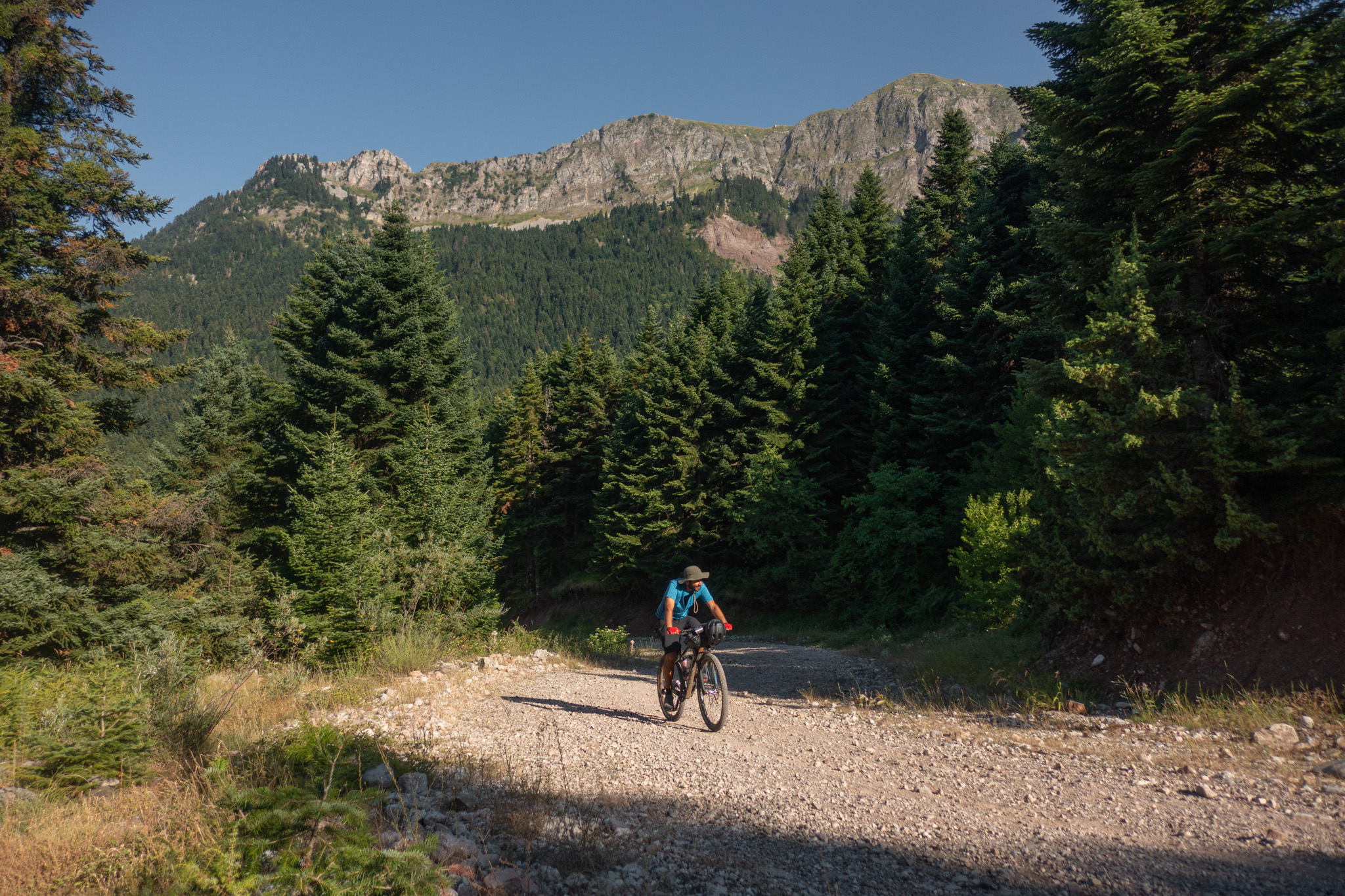
A three-day cycling journey through the heart of the Southern Pindos, following forgotten trails, overgrown dirt roads and demanding passages between the mountain ranges of Koziakas, Neraida and Triggia. A challenging route that rewards the effort with unique landscapes, mountain settlements and exhilarating descents, while offering an unforgettable cycling experience of exploration.
INTRODUCTION
Koziakas and Triggia are two characteristic mountain ranges of the Southern Pindos, forming a natural barrier between the Thessalian plain and the deeper mountainous world of the Pindos. Koziakas, also known as Mount Kerketio, rises to the east, with its highest summit, Astrapi, reaching 1,901 metres, while Triggia, above Krania and Palaiochori, reaches 2,204 metres. Their slopes alternate between dense coniferous and deciduous forests, open mountain meadows, rocky ridges and streams that carve their way through the landscape.
The area is of outstanding natural value and rich biodiversity, with the transition from the forest to the subalpine zone becoming increasingly evident as we gain elevation. Yet these mountains have never been merely a natural boundary. For centuries, they served as routes for people, livestock and kyratzides—muleteers and carriers—connecting the villages of the Pindos with the Thessalian plain. Mountain passes and old tracks, such as the famous Vlachostrata below Triggia, followed the natural corridors of the mountains, linking valleys and mountain settlements.
Today, these same slopes offer a different way of exploration. Dirt roads, trails and old mountain passages lead us deep into the mountains, from shady forests to open ridgelines, constantly revealing new landscapes. And while people and herds once crossed these mountains in search of a route through the Pindos, today we ride in their footsteps, with no particular need to reach anywhere—simply for the pleasure of crossing a landscape that still dictates its own pace.
ROUTE DESCRIPTION
When we cycle through unfamiliar places, we preserve our childhood sense of wonder and the unique perception of reality that comes with it. Every dirt road becomes an invitation to explore, a small adventure. The carefree feeling, the sense that the world belongs to us, and that irresistible urge to discover the unknown are best experienced over three days of cycling in the mountains of the Southern Pindos.
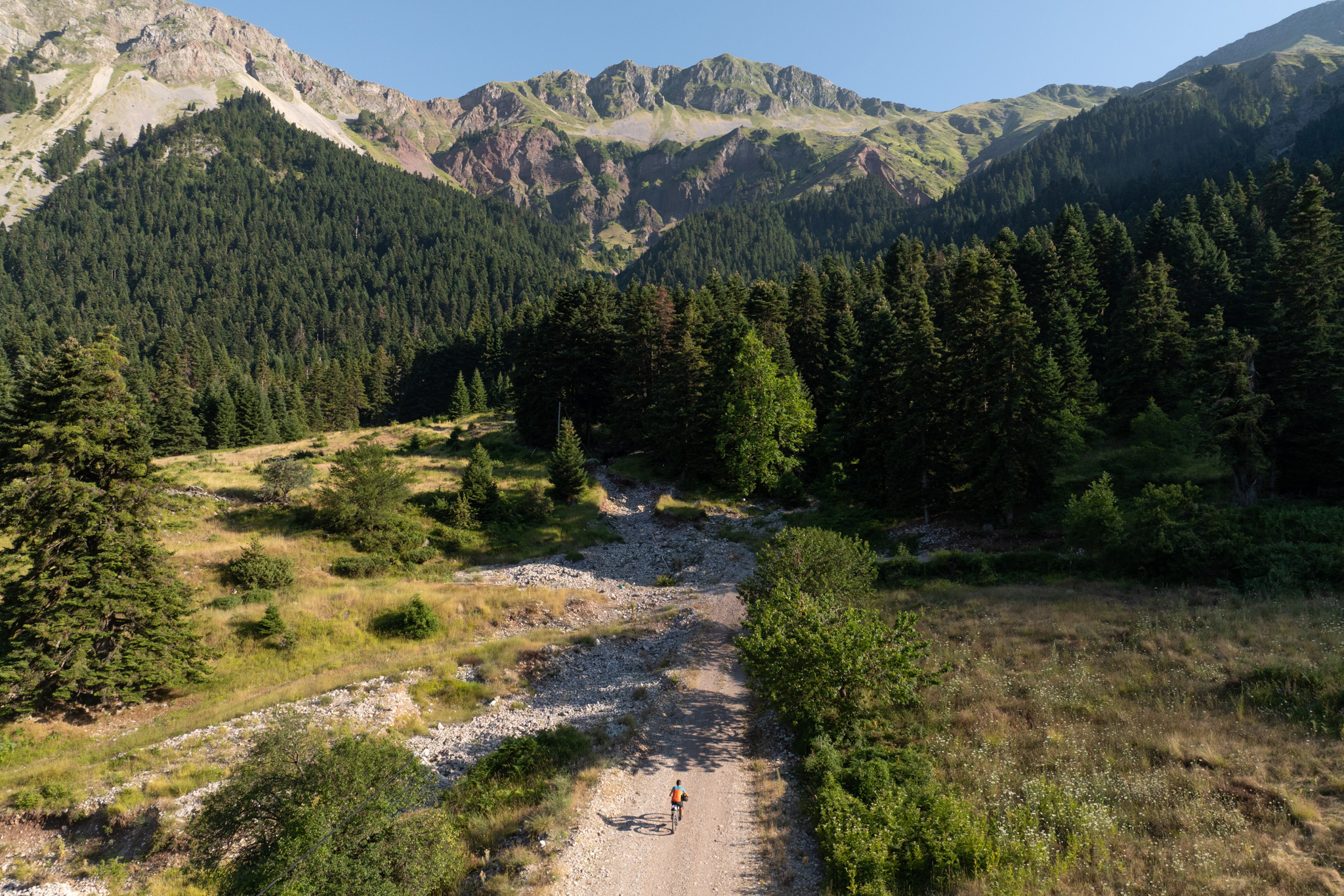
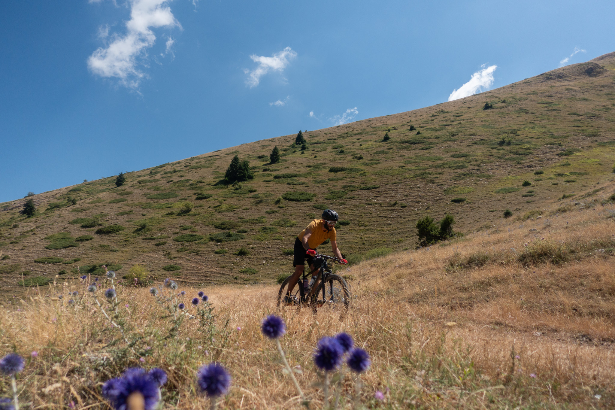
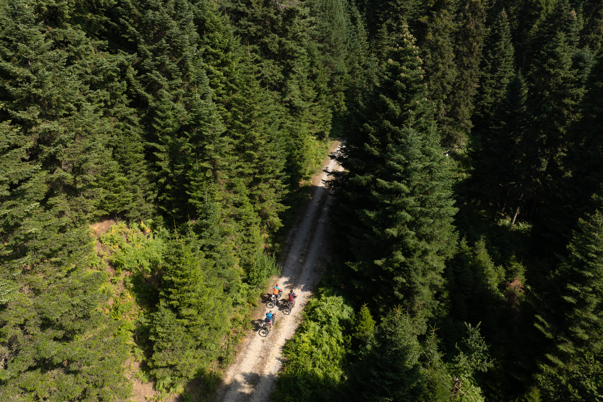
In reality, cycling through the mountain ranges of Koziakas and Triggia cannot be described in kilometres and elevation gain. It is measured in breaths, seemingly endless climbs, jokes and laughter, passages through beautiful trails and enjoyable stops overlooking unforgettable landscapes that often evoke emotion and an indescribable sense of tranquillity. Three days among dense forests, alpine meadows, crystal-clear rivers, isolated villages and mountain ridges, following roads and trails through a place where nature still has the final say.
Day 1 — Ampelia to Neraidochori (45.4 km | 1,540 m ↑ | 750 m ↓)
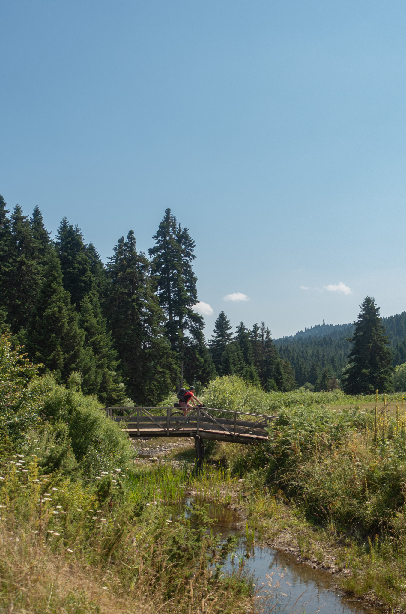
The route starts in the village of Ampelia, built on the banks of the Kleinovitikos, a tributary of the Peneios River, at an elevation of 350 metres. The ride begins gently, following the river along a rideable dirt road with minimal gradient through a mixed forest of oak and plane trees, until reaching the paved provincial road that climbs towards the village square and café of Glykomilia (Kato Perliago), with its refreshing plane tree and essential spring at an elevation of 650 metres.
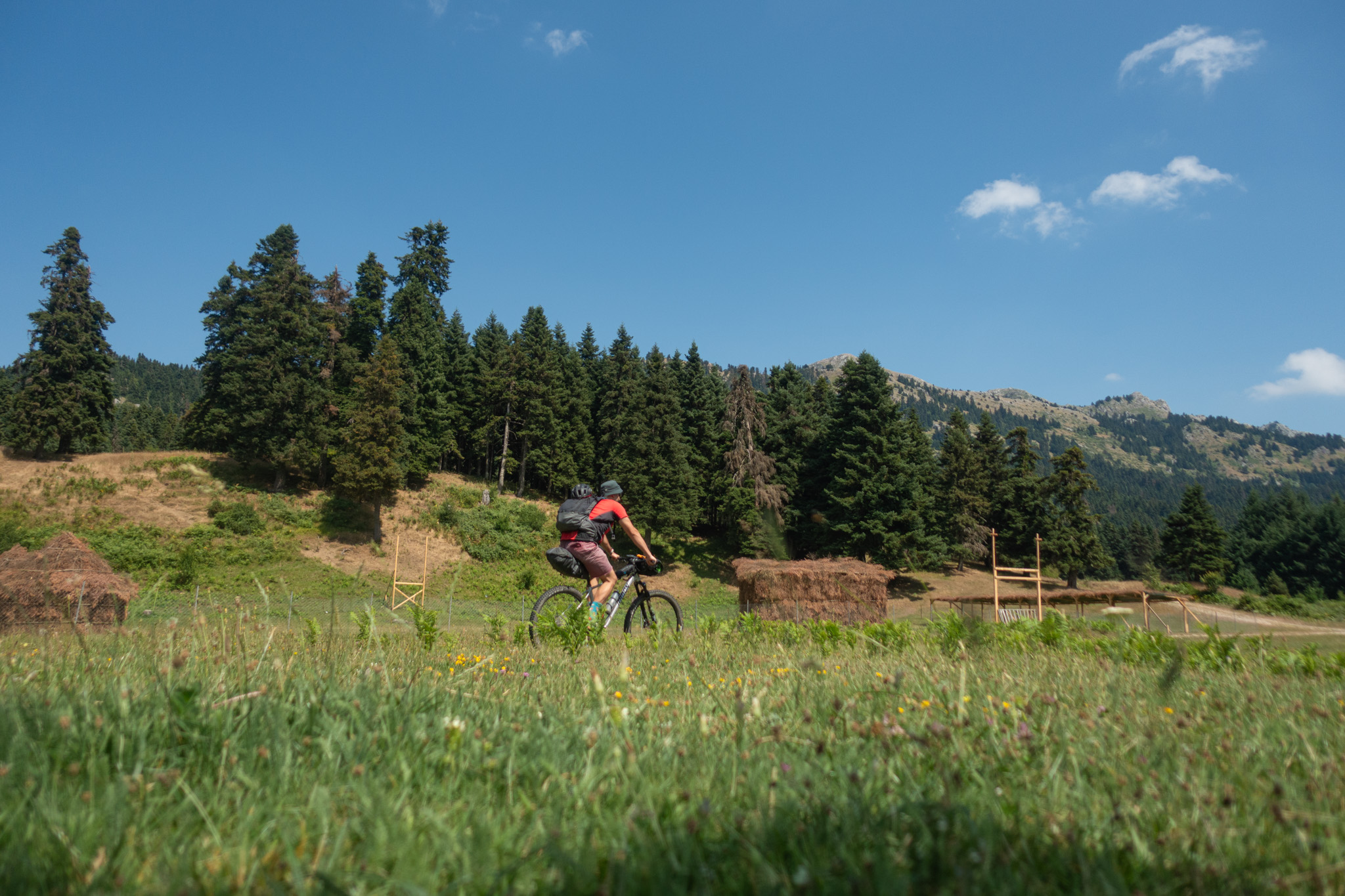
From the village begins the most demanding section of the route: a climb on a poorly surfaced dirt road, with some steep sections, but through dense oak and fir forest, leading to the magnificent Pertouli Meadows at 1,250 metres. This is an ideal place to take a break and have something to eat if you are carrying supplies. Alternatively, you can continue to the village of Vlataneoi, where the area’s only tavern operates during spring and summer (see the Food section).
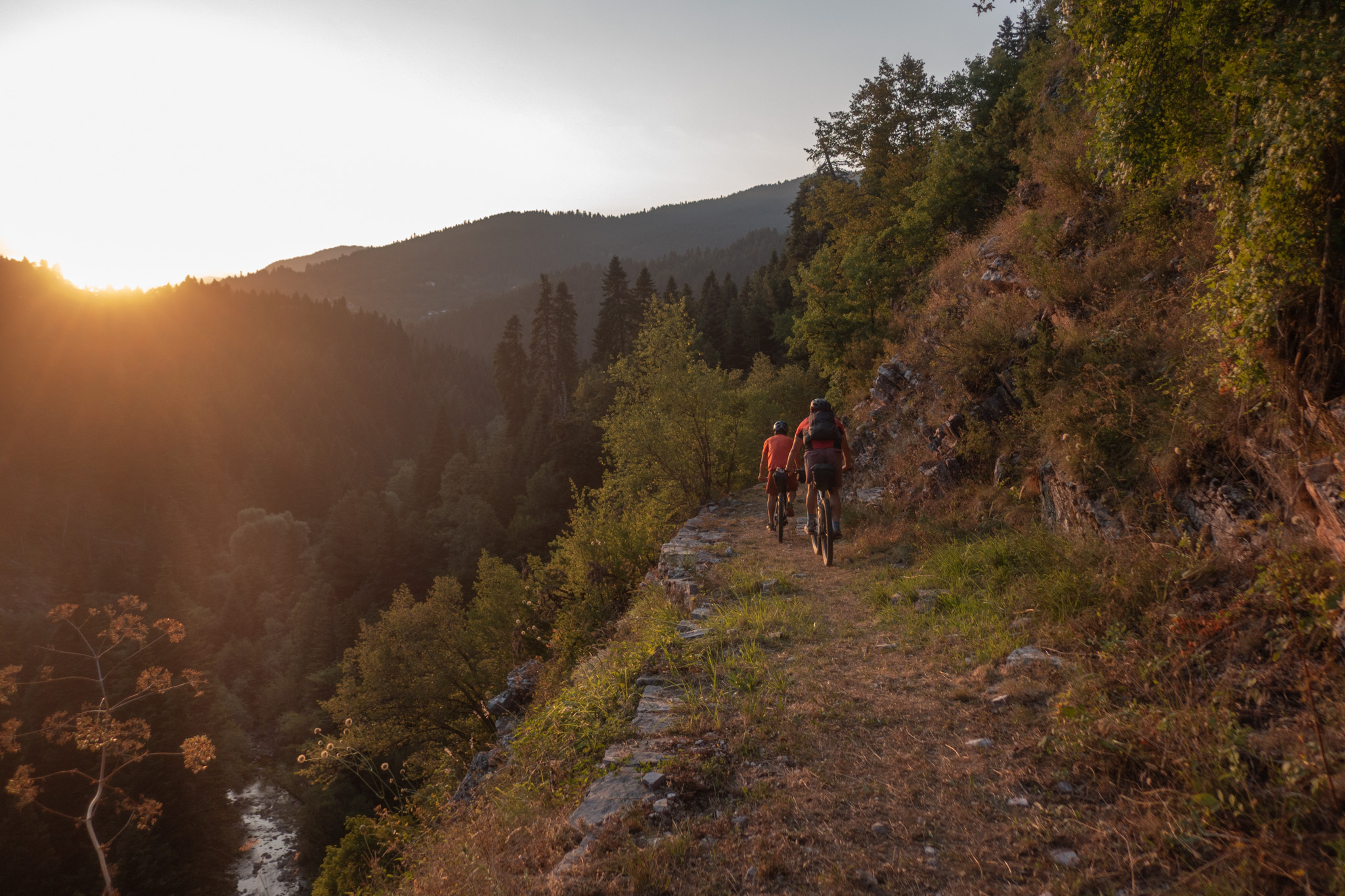
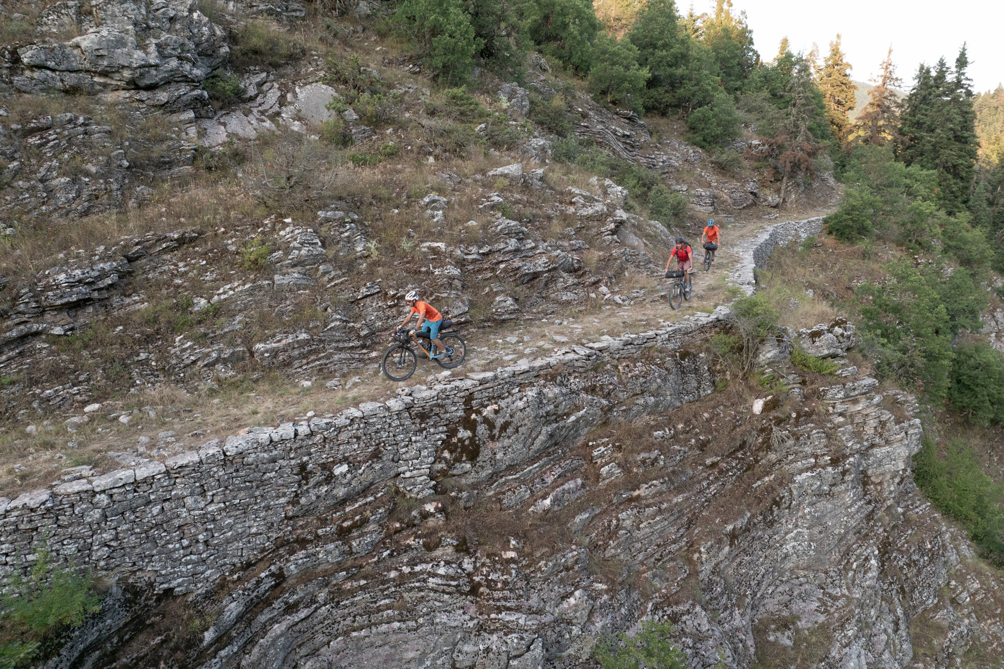
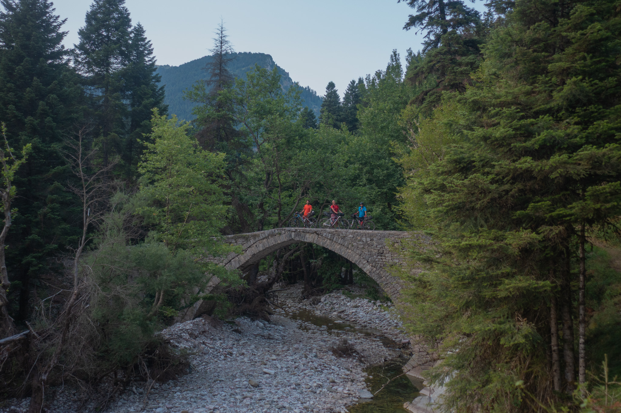
The route then climbs towards the village of Vlacha and the Geladaria mountain pass, from where an epic descent begins through dense fir forest. Initially following a rideable dirt road, it then joins the stone-paved Vlach mountain trail, eventually reaching the Hatzipetrou stone bridge—monuments of another era in the Greek mountains—amid truly enchanting scenery.
A little further down, there are several ideal spots for a refreshing dip in the icy river, before completing the day with one final short climb to Neraidochori (formerly Veterniko), at an elevation of 1,250 metres.
Day 2 — Neraidochori to Krania (43.9 km | 1,520 m ↑ | 1,680 m ↓)
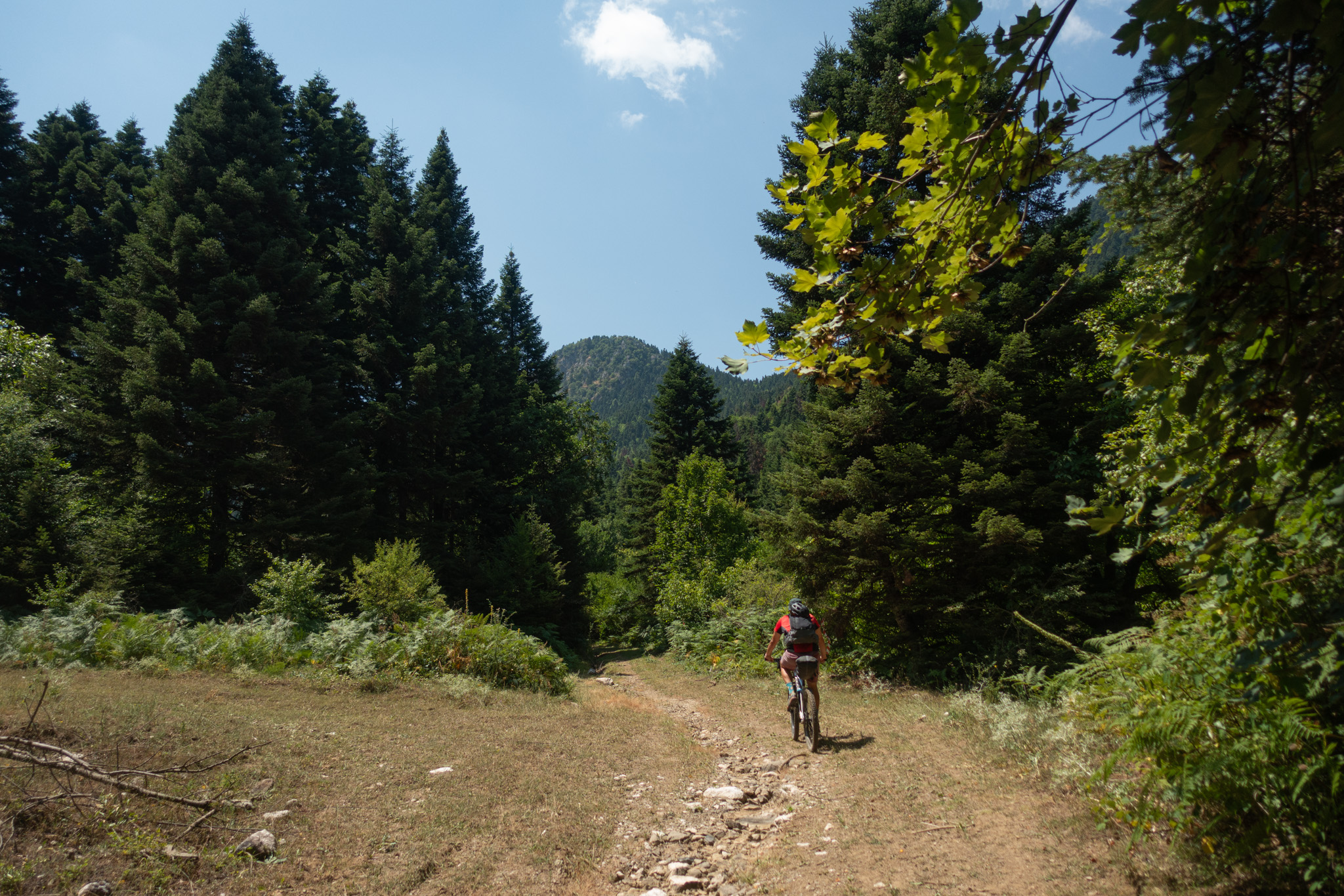
From Neraidochori, we follow the main road gently downhill towards Pertouli. The fresh mountain air provides a pleasant wake-up before we begin the first climb of the day on a good dirt road with gentle gradients, through the dense fir forests of the protected forest managed by the Aristotle University of Thessaloniki.
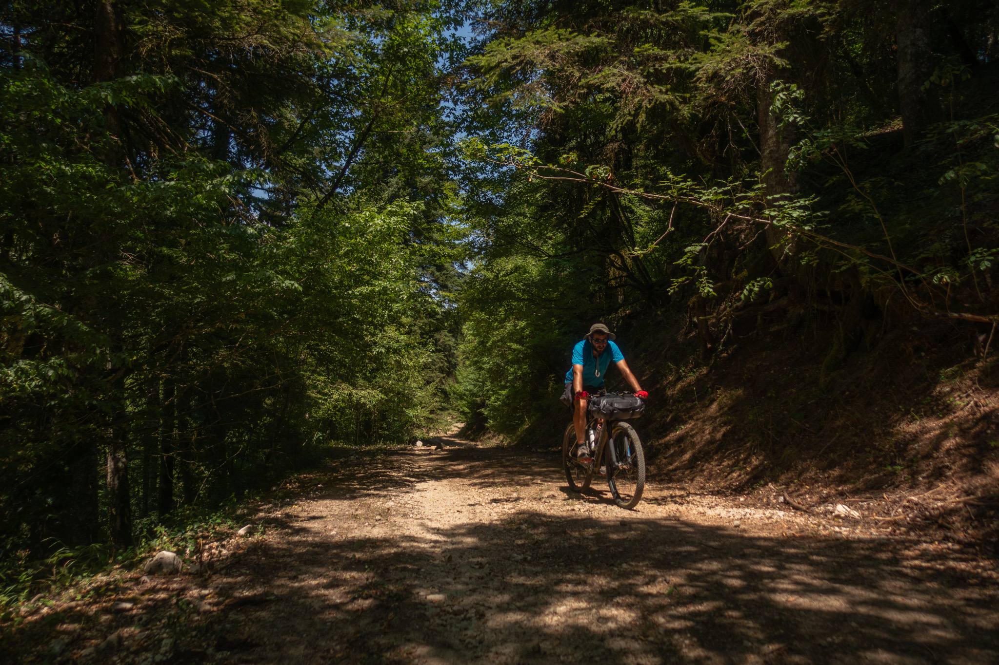
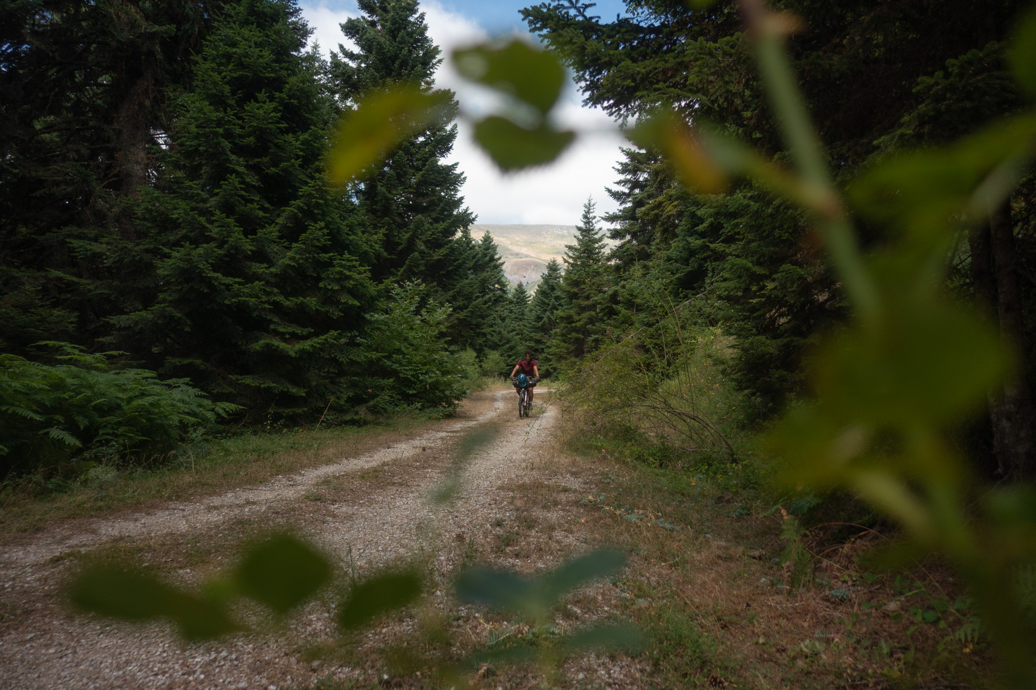
The route then becomes considerably more adventurous as it continues along an abandoned dirt road—still deep inside the forest—which was irreparably damaged by Storm Daniel, forcing us to detour along a deeply eroded track between towering ferns.
Eventually, we descend towards Chrysomilia (Ano Perliago) on a good dirt road and then continue towards Aidona along an enjoyable, abandoned and grass-covered but very rideable dirt road, with magnificent views of the surrounding mountain ranges. The road leads us to the beautiful village square, where cafés sit beneath the deep shade of centuries-old plane trees.
A short stop here is almost obligatory, although the ideal place to rest is the quiet village of Palaiochori (Palaiogortsa). To get there, we descend along the paved road to the riverbed, where unfortunately most of the plane trees have died due to the highly contagious fungus Ceratocystis platani. We then climb along the grandiose new road, costing millions of euros and serving exclusively the village of Palaiochori.
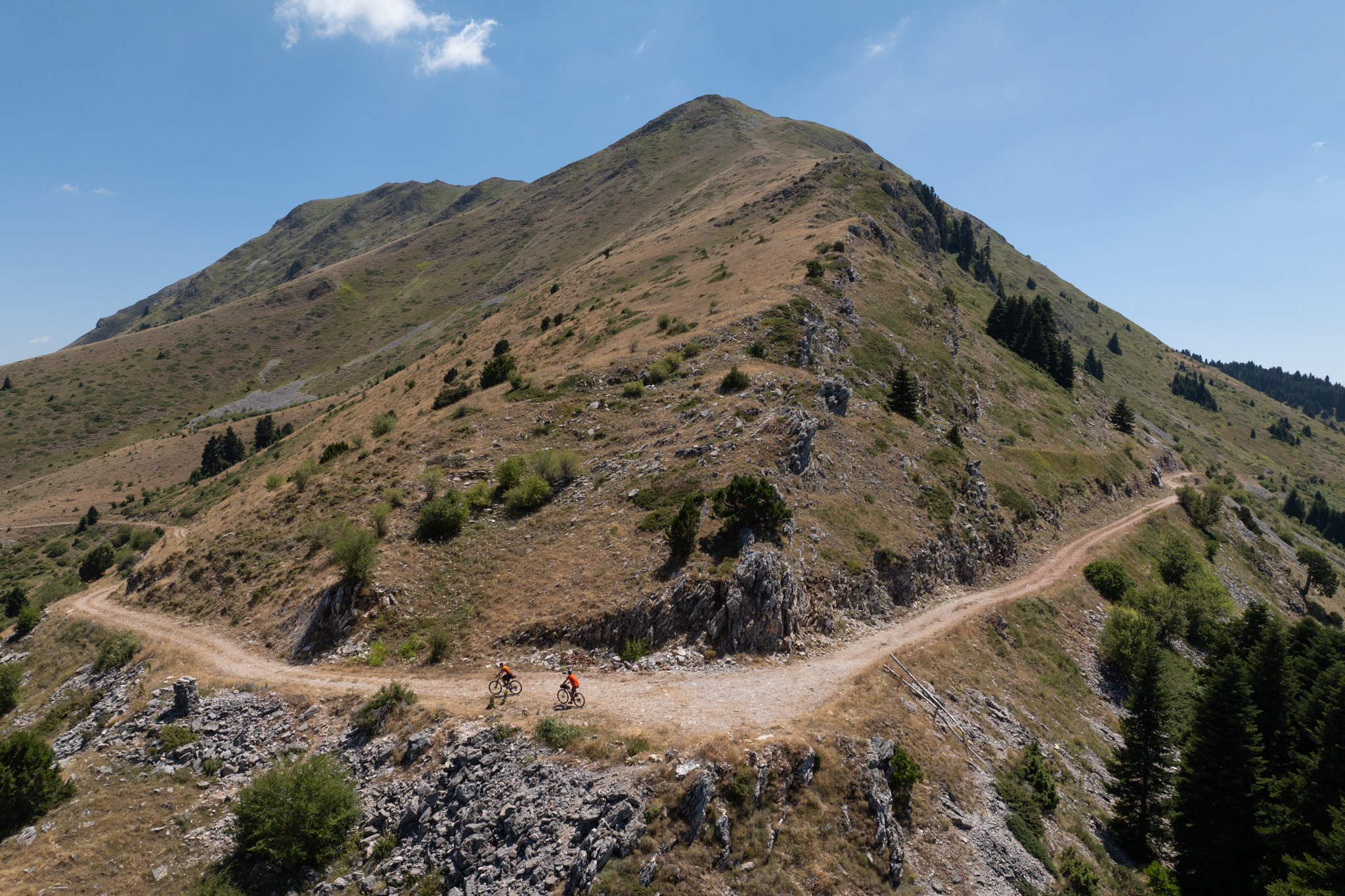
Do not be fooled by this miniature highway. Palaiochori is a beautiful mountain village with only a handful of permanent residents remaining, situated at 950 metres above sea level. Its attractive square and café/tavern, which operates year-round, make it an ideal place to regroup and replenish our energy before tackling the day’s final hard climb towards the Golemi Pass, between Triggia and the summit of Kaltsa (Neraida), at 1,600 metres.
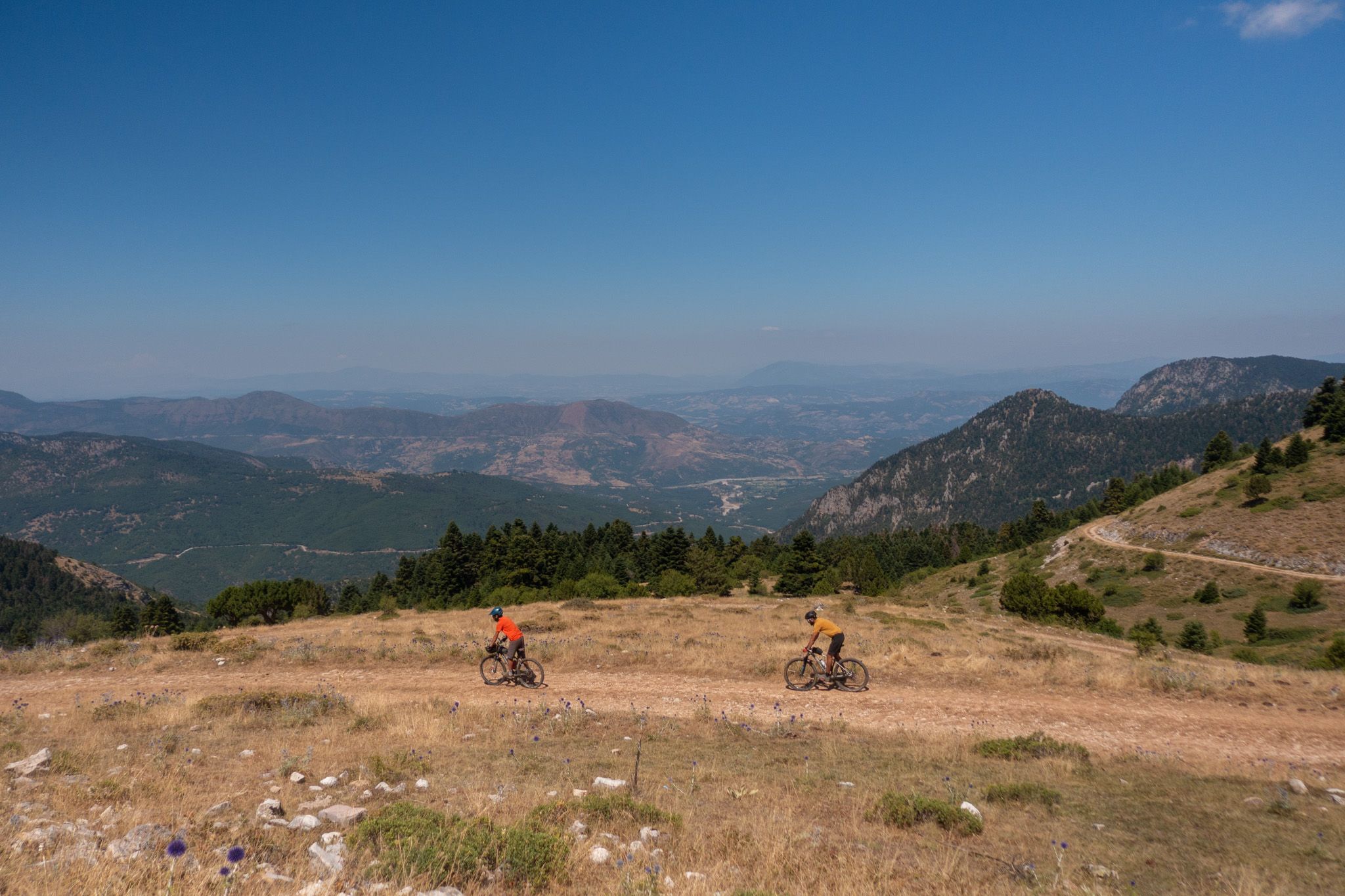
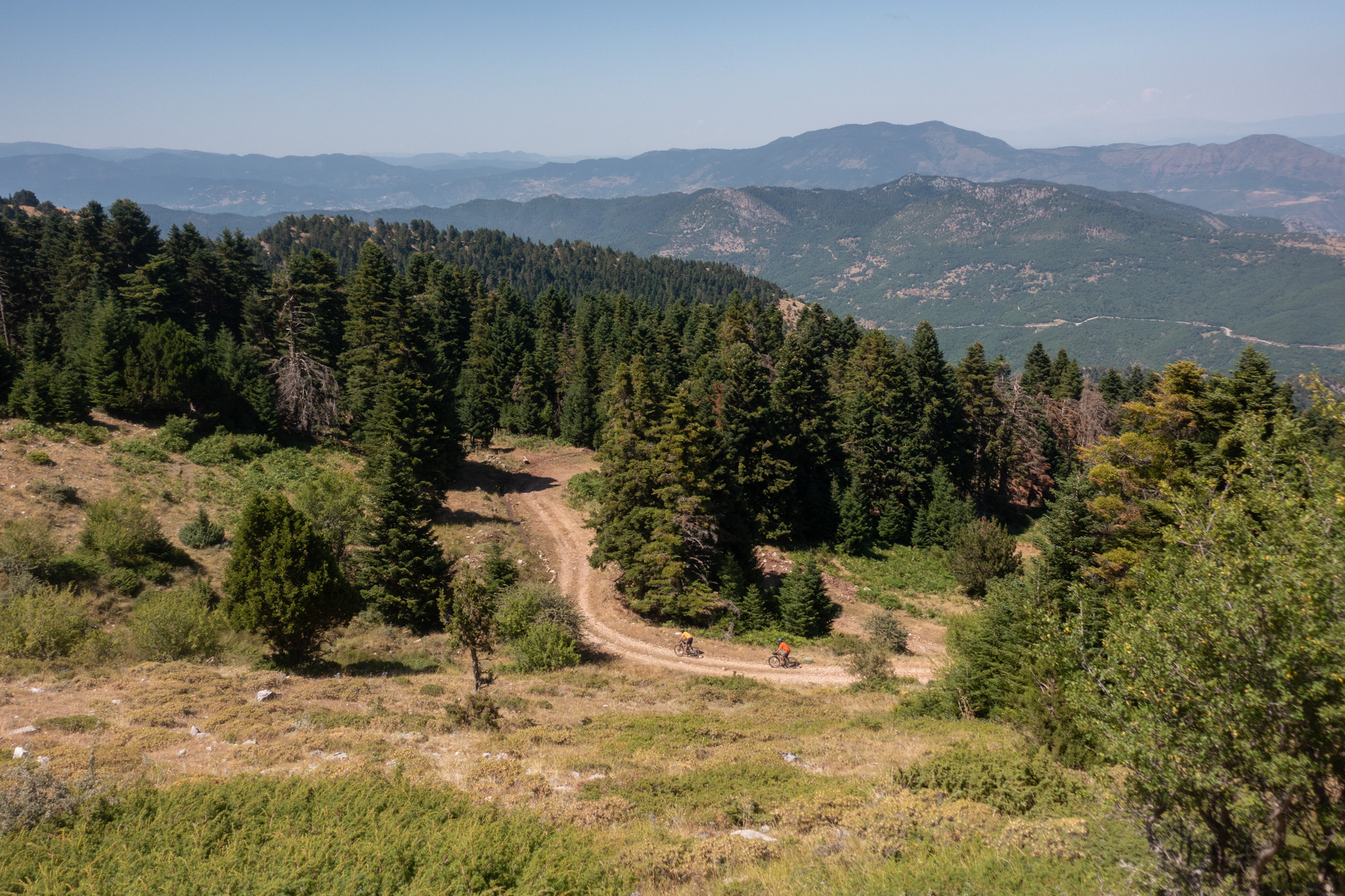
Throughout the climb, we are surrounded by impressive mountain peaks and unforgettable views of this forgotten corner of the Pindos. This magnificent setting—the very essence of mountain biking in Greece—is completed by a rewarding descent towards the Konakia, an old and well-maintained Sarakatsani settlement where traditional huts have been replaced by wooden houses.
From there, we eventually reach Krania Aspropotamos, with its scattered neighbourhoods and churches spread across two forested slopes on either side of the Kraniotiko stream.
Day 3 — Krania to Ampelia (36.9 km | 920 m ↑ | 1,550 m ↓)
The final and easiest day begins by passing the unique and highly impressive Church of the Holy Cross before climbing towards the mountain settlement of Doliana.
From here, we follow an abandoned road for one last small adventure. Initially, the road is rideable and gains elevation easily through the fir forest, but it is eventually cut off, forcing us to carry our bikes for a few metres, stepping over fallen trees and small ravines.
Eventually, however, the road descends beautifully through a pristine beech forest before meeting the provincial road at 1,350 metres. We follow it towards Amarantos/Kastania until reaching the characteristic mountain pass at 1,430 metres.
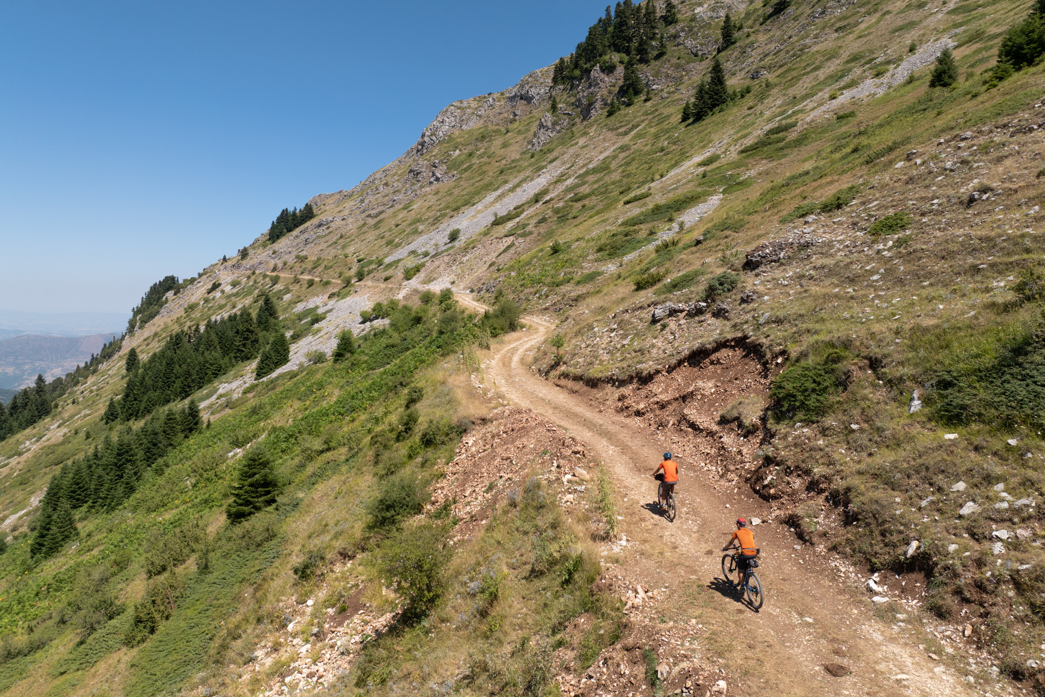
From this point, we continue along a rideable dirt road that circles the northern slopes of Triggia, climbing to 1,600 metres and offering sweeping views over the Peneios valley and its tributaries.
The final section of the route features 16 kilometres of exhilarating descent, initially along a dirt road through magnificent mountain scenery to the village of Kleino (Kleinovo), at 1,000 metres, and then along the paved road back to the starting point, with the incomparable feeling of joy that only a long mountain descent can provide.
126,2 km.
ROAD
DIRTROAD
BAD DIRTROAD
PATH
126,2 km.
ROAD
DIRTROAD
BAD DIRTROAD
PATH
ROAD
BAD DIRTROAD
DIRTROAD
PATH
GALLERY
- WATER - FOOD - ACCOMMODATION
- POINTS OF INTEREST
Fresh drinking water is available throughout the route, with numerous springs located both in the villages and deep within the forest. Carrying two water bottles is generally sufficient, even during the warmer months.
Tavernas and cafés serving food can be found in every village along the route.
We recommend contacting each venue the day before your arrival to confirm that it will be open when you pass through.
Glykomilia
Aroma Plateias Café & Taverna – No phone number available
Vlataneoi
To Anogi Taverna – +30 24340 71761
Neraidochori
Niavis Taverna – +30 24340 91201
Margaritis Taverna – +30 24340 91217
1140 Café – +30 697 694 6325
Aidona
Platanos Café & Taverna – +30 24320 43005
I Aidona Grill House – +30 697 686 3289
Palaiochori
Diavaine Café & Taverna – +30 697 364 7502
Krania
Several tavernas operate within the village. We recommend La Korno, located just outside the village next to the suggested camping area.
Phone: +30 24320 87688
Kleino
Kleinovos Taverna – +30 24320 96251
Stavento 1947 Café – +30 24320 96403
Before starting the route, we recommend staying near the trailhead so that your entire first day can be dedicated to riding rather than a long drive. In Ambelia, camping is possible at the Church of Agios Tryfon, located on the upper side of the village.
For the following two nights, we recommend camping in Neraidochori and Krania. In Neraidochori, a suitable camping spot can be found at the football field below Margaritis Taverna. In Krania, the best option is the recreation area next to La Korno Taverna.
If you’d like to cool off after a day on the bike, you can swim in the river just before reaching Neraidochori on Day 1, and in the Aspropotamos River right beside the recommended campsite on Day 2.
The Vlachostrata is the name traditionally given to the extensive network of trails and stone-paved mule tracks that connected the mountain villages of Aspropotamos and the wider Pindos region with the lowlands around Trikala. Of the surviving sections, the best-preserved lies below Neraidochori and includes the historic Hatzipetrou stone bridge.
For centuries, long before the modern road network was constructed, communication between the mountain communities of the Pindos—and particularly those of Aspropotamos—and the Thessalian plain and the wider world depended entirely on these trails and carefully constructed stone paths.
These routes served multiple purposes. They were used by the seasonal migrations of the nomadic Vlach communities, who twice a year moved their herds between summer and winter pastures, while they also formed the main commercial routes followed by the caravans of kyratzides (muleteers and carriers), transporting people and goods.
The layout of these trails was not accidental. They followed the natural characteristics of the terrain, seeking the shortest and safest routes, with gentle gradients and limited changes in elevation, making them accessible both to pedestrians and to pack animals.
Today, much of this historic network has disappeared. Many sections have collapsed or become overgrown with dense vegetation, while in several places the original routes have been incorporated into the modern road network, altering their original character.
In the Aspropotamos region, the routes of the Vlachostrata began on the slopes of Lakmos (Peristeri) and Kakarditsa, crossed the mountain villages and reached Pyli, from where they continued towards the Thessalian plain and the city of Trikala.
A significant section survives near Chaliki, while the most impressive and best-preserved section is the Skala of Veterniko, below Neraidochori (formerly known as Veterniko), which forms the final section of the first day’s route.
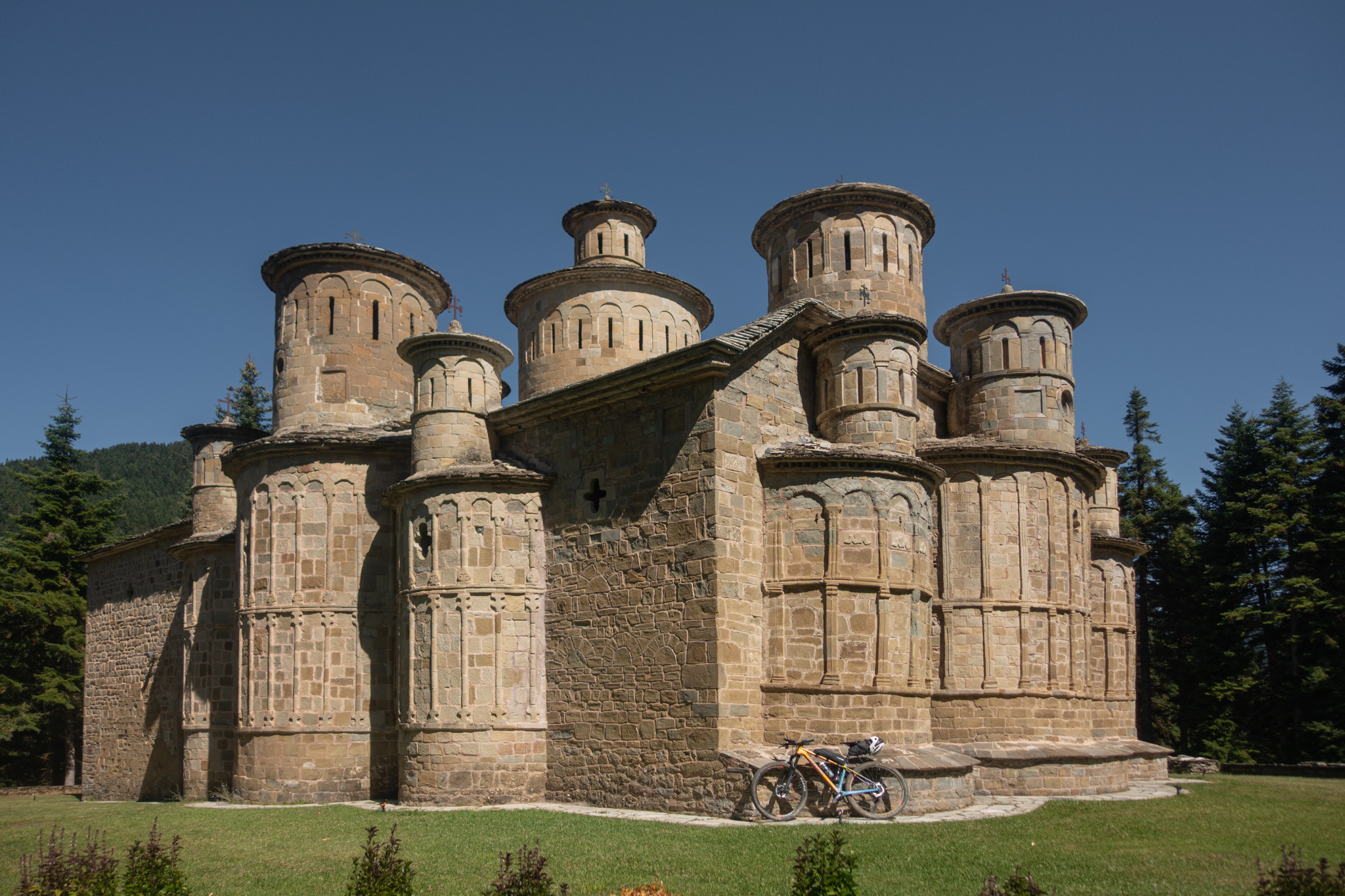
Hidden within a dense fir forest, on a ridge between Doliana and Krania Aspropotamos, stands the Holy Cross Monastery. At an elevation of approximately 1,150 metres, the monastery is one of the most important post-Byzantine monuments in the Pindos and one of the most distinctive points of interest along the route.
The monastery’s katholikon was built in the late 18th century, with its original construction generally dated to around 1770, while other sources place the construction of the present church in 1792. The monastery was one of the important religious centres of the Vlach villages of Aspropotamos and was closely connected with the social and economic life of the mountain communities of the region.
The architecture of the katholikon is particularly unusual. The church is built of stone and covered with slate slabs, above which rise a total of thirteen domes and smaller cupolas. This arrangement, combined with the numerous niches and relief decorations, creates a form rarely encountered in other churches in the Greek countryside.
According to tradition, the thirteen domes represent Christ and the twelve Apostles. The distinctive character of the church continues inside. The walls remain unplastered and the church lacks the usual painted decoration, allowing the bare stone to dominate the interior. Small openings in the domes allow limited natural light to enter, enhancing the unique atmosphere of the space.
The construction also incorporates earthen vessels into the walls, which act as resonators and improve the acoustics of the church.
The monastery remained inhabited and operated as an active monastery until 1924. At that time, by Royal Decree, it was dissolved as an independent monastery and incorporated into the Holy Monastery of Saint Stephen at Meteora, of which it has remained a dependency ever since.
The history of the monastery was also marked by the events of the German occupation. In the autumn of 1943, during German military operations in the Vlach villages of Aspropotamos, the monastery was set on fire. The blaze caused serious damage to the church but did not completely destroy it. The central dome and part of the narthex collapsed, while the rest of the structure survived thanks to its robust stone masonry.
Subsequent conservation and restoration work allowed the monument to survive to the present day. Despite the destruction and abandonment of the old monastic complex, the church remains an important landmark for the communities of Aspropotamos and celebrates its annual feast on 14 September, the Feast of the Exaltation of the Holy Cross.
ROAD BOOK
| Distance between points | Total distance | Description | |
|---|---|---|---|
| 0 | 0 |  |
The route starts at the Church of Agios Tryfon in the village of Ambelia. We begin by descending along the village’s main road towards the river. |
| 0.5 | 0.5 |  |
Turn left onto the main road. |
| 0.2 | 0.7 |  |
Immediately after the football field, turn diagonally right back onto a dirt road. |
| 0.2 | 0.9 |  |
Cross the river and turn right onto the riverside dirt road. |
| 0.5 | 1.4 | |
At the first junction, turn diagonally right back, continuing towards the riverbed. |
| 6.9 | 8.3 | |
At the end of the dirt road, turn left onto the paved road towards the village of Glykomilia. |
| 2.6 | 10.9 |  |
At the village square of Glykomilia, after the fountain, turn right downhill at the fork. |
| 0.2 | 11.1 | |
At the first fork at the edge of the village, turn right, slightly downhill. |
| 0.2 | 11.3 | |
At the second fork, turn right again. |
| 0.2 | 11.5 | |
At the third fork, after the last house, turn right. |
| 8.9 | 20.4 | |
At the end of the rough dirt road, turn right. |
| 3.0 | 23.4 | |
At the beginning of the descent, turn right downhill (left leads towards the Koziakas Mountain Refuge). |
| 1.4 | 24.8 |  |
At the second road, turn sharply right. |
| 0.6 | 25.4 |  |
At the fork, turn left. |
| 0.2 | 25.6 | |
At the first small trail inside the forest, turn right. |
| 0.3 | 25.9 | |
On the dirt road, turn right towards the huts. |
| 0.2 | 26.1 |  |
After a short distance, turn sharply left towards the huts and continue parallel to the paved road. |
| 1.6 | 27.7 | |
At the paved road, turn left towards the village of Vlataneoi. |
| 1.8 | 30.7 |  |
After Vlataneoi, continue straight uphill through a hairpin bend towards Vlacha. |
| 5.8 | 36.5 | |
After the spring and the football field, at the fork, turn right onto a dirt road towards Neraidochori. |
| 0.4 | 36.9 | |
At the next fork, turn right (left leads towards Agia Anna). |
| 2.8 | 39.7 | |
At the next road, turn left. |
| 0.7 | 40.4 | |
At the next fork with the stone wall, turn right. |
| 1.8 | 42.2 | |
After the stone bridge, turn left onto the dirt road. |
| 0.05 | 42.25 | |
After a short distance, turn right uphill at the fork. |
| 0.4 | 42.6 | |
|
| 2.7 | 45.3 | |
Ride through Neraidochori and, at the main road, turn right towards Pertouli. |
| 3.3 | 48.6 | |
Cross the village of Pertouli and turn left at the playground (signposted towards Panagiotis Taverna). |
| 0.2 | 48.8 | |
After a short distance, at the fork, turn right. |
| 0.8 | 49.6 | |
At the fork after the facilities of the Aristotle University, turn right. |
| 1.9 | 51.5 | |
At the next fork, turn right. |
| 3.8 | 55.3 | |
At the end of the road, after the metal barrier, turn left onto the dirt road. |
| 1.9 | 57.2 | |
At the next fork, turn right onto a narrower dirt road. |
| 2.4 | 59.6 | |
At the end of the road/trail, after the water trough, turn right downhill. |
| 0.7 | 60.3 | |
After a short distance, turn sharply left downhill onto a better-maintained road. |
| 0.5 | 60.8 | |
Above the village, at the road with the blue roadside shrine, turn left. |
| 0.3 | 61.1 | |
After the steep descent beyond Chrysomilia, at the right-hand hairpin bend, turn left towards Aidona. |
| 2.8 | 63.9 | |
At the end of the road, turn right downhill onto a better-maintained dirt road. |
| 0.1 | 64.0 | |
After a short distance, turn left at the fork. |
| 0.6 | 64.6 | |
Turn right at both forks before reaching the village. |
| 1.9 | 66.5 | |
Ride through the village of Aidona and, shortly before the river, turn left at the church onto the main road. |
| 1.0 | 67.5 | |
Shortly before the river, turn left towards Palaiochori. |
| 4.2 | 71.7 | |
After the square of Palaiochori, turn left at the fork. |
| 0.5 | 72.2 |  |
At the exit of the village, take the first road on the left towards Krania. |
| 11.4 | 83.6 | |
Descending after the mountain pass and the Prophet Elias Chapel, ignore the diagonal left-back road. |
| 21.9 | 88.5 | |
Within the settlement of Konaki, turn left after the church. |
| 1.9 | 87.4 |  |
At the junction before the village of Krania, continue straight ahead (take the middle of the three roads, a concrete road). |
| 0.5 | 87.9 | |
At the open area inside the village, choose the middle of the three roads again (concrete road). |
| 0.3 | 88.2 | |
After a short distance, turn left at the fork (spring). |
| 0.2 | 88.4 | |
After a short distance, turn right. |
| 0.9 | 89.3 | |
At the end of the descent (La Korno Taverna), turn right towards Kalambaka. |
| 0.7 | 90 | |
At the first road, turn diagonally right back towards the Holy Monastery of Timios Stavros. |
| 0.8 | 90.8 |  |
At the first dirt road, turn diagonally left back to continue the route, or continue straight to visit the monastery. |
| 1.4 | 92.2 | |
At the entrance of the village of Doliana, turn diagonally right back. |
| 0.5 | 92.7 | |
After the first houses, turn right uphill at the fork. |
| 0.2 | 92.9 | |
At the end of the steep trail, turn right onto the dirt road. |
| 0.6 | 93.5 | |
At the end of the next climb, turn left at the fork. |
| 6.2 | 99.7 | |
At the fork before the ravine (just before the paved road), turn left downhill. |
| 0.5 | 100.2 | |
At the paved road, turn right. |
| 2.2 | 102.4 |  |
At the mountain pass, turn right onto a dirt road (take the first of the two roads). |
| 0.5 | 102.9 | |
After a short distance, turn left at the fork. |
| 2.8 | 105.7 | |
After the spring, turn left downhill at the fork. |
| 6.1 | 111.8 | |
Halfway down the descent, at the buildings, turn left downhill. |
| 0.2 | 112.0 |  |
After a short distance, continue straight at the junction. |
| 1.2 | 113.2 | |
At the next fork, turn right downhill. |
| 3.2 | 116.4 | |
Entering the village of Kleino, turn diagonally right back onto the first paved road you encounter. |
| 0.2 | 116.6 | |
At the next road inside the village, turn diagonally left back. |
| 5.9 | 122.5 | |
Cross the village of Kleino, descend, and at the main road above the river, turn left to return to the starting point. |