
CENTRAL EVIA
KILOMETERS
DURATION
ELEVATION
PROPOSED SEASON
DIFFICULTY
PHYSICAL CONDITION
TECHNICAL DIFFICULTY
STARTING POINT
Author:
A. Leontaritis
Photos:
A. Leontaritis
Skotini and Kotylaia Mountains
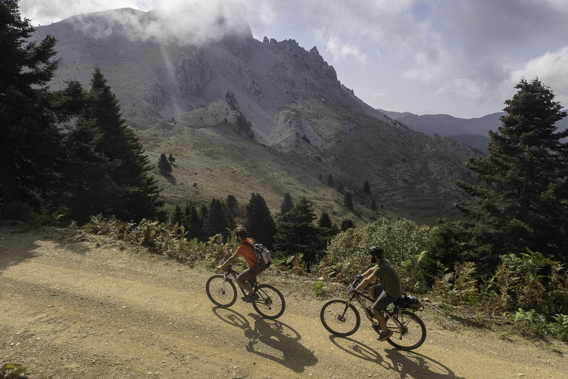
The route circles around the main mass of Skotini and crosses the heart of the beautiful Kotylaia Mountains, starting from Metochi. It is a demanding yet stunning mountain route, without particular technical difficulties, offering incredible landscape and terrain variations. It mainly follows dirt roads in good condition, with most of the elevation gained smoothly, without very steep gradients.
INTRODUCTION
Skotini and the Kotylaia Mountains form part of the central Evia mountain range, which stretches for 40 kilometers, and constitute the continuation of the Dirfys–Xirovouni mountain mass. The wider area is characterized by limestone formations with intense karstification and countless dolines, poljes, karren, caves, and sinkholes. Karst, although often associated with caves, is in fact a complex system of surface and underground landforms, resulting from the dissolution of carbonate rocks by slightly acidic rainwater. The Kotylaia Mountains most likely owe their name to their geological structure and the impressive karstic depressions found on their central plateau. In antiquity, the kotyle was a bowl-shaped vessel used as a unit of volume measurement by both the Greeks and the Romans.
The central Evia range is covered with dense forests of Kefalonian Fir, endemic to Greece, which grow up to 1200–1300 meters of altitude. In places, they form mixed forests with chestnut trees, creating breathtaking images with shifting colors during the autumn months. Centuries-old walnut trees, remnants of other times, bear witness to long-standing human activity in these rugged and harsh areas. Giant plane trees, maples, and poplars grow along the streams, while the vegetation is complemented by kermes oaks, mountain cypresses, holm oaks, ash trees, service trees, yews, wild pears, and more. Dozens of Evian endemic plants, as well as many rare species, can be found along the way. In these inaccessible mountains, with their dense forests and rocky cliffs, dozens of bird species find shelter. You can read more about the flora and fauna of these mountain ranges here.
ROUTE DESCRIPTION
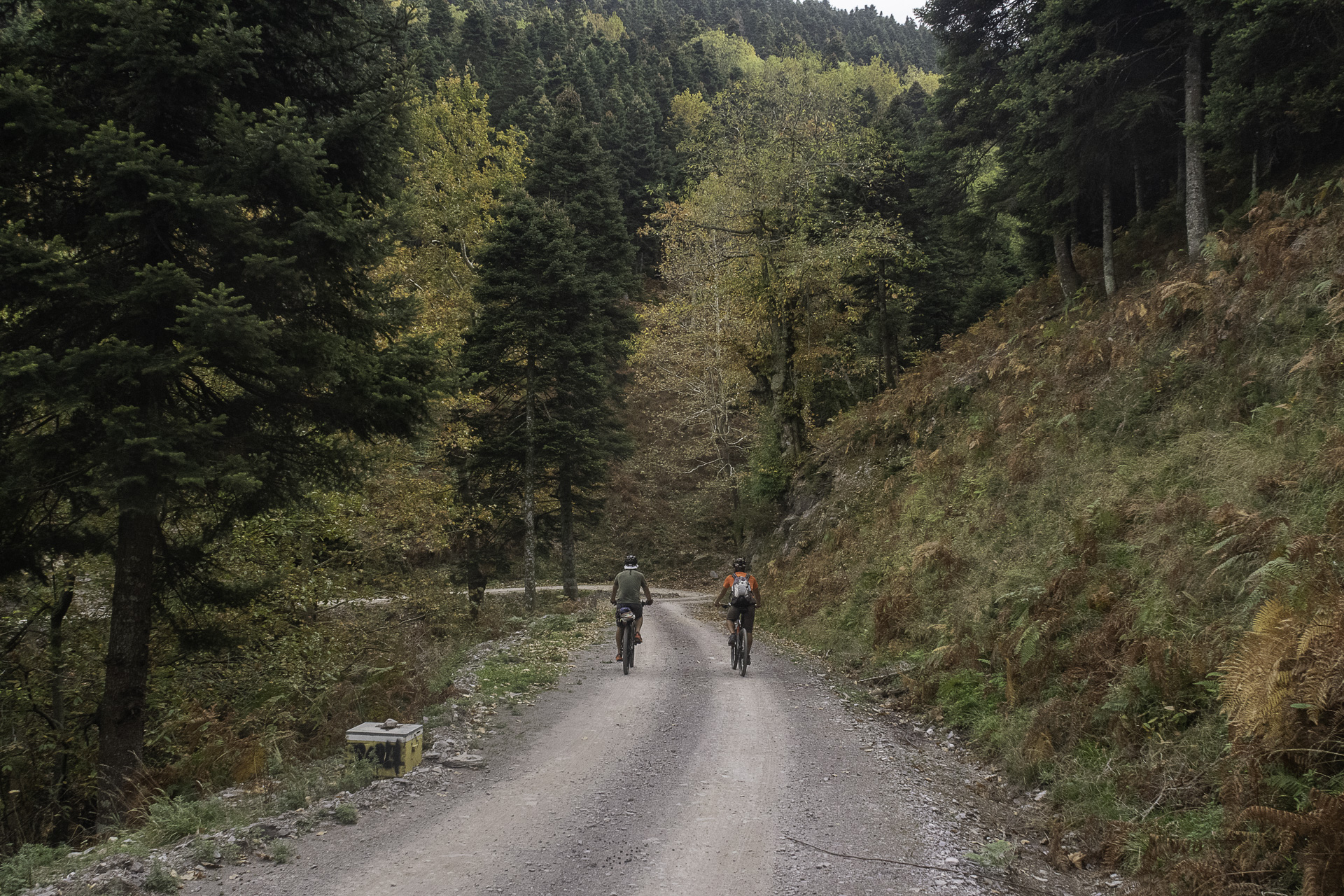
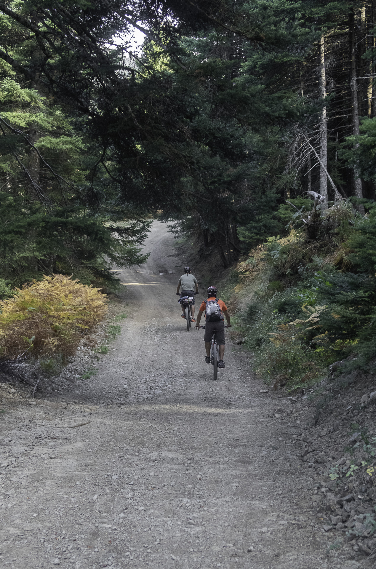
The first kilometers are covered on the steep main asphalt road toward Stropontes, gaining more than 600 meters of elevation. Entering the dirt road through the dense and characteristic local fir-chestnut forest, the main and more adventurous part of the route begins. The dirt road, easy to ride when free of mud, leads us to the Xirovouni–Skotini pass at 1150 meters altitude. The reward for the strenuous ascent is the breathtaking view of Xirovouni’s sheer cliffs.
The following relaxed and enjoyable kilometers descend through the fir forest to the famous Katavothra of Skotini and its namesake plateau. But the difficulties are not yet over. A rough dirt road circles Skotini from the south, initially uphill and then steeply downhill, strewn with loose rocks, thorns, and exposed to the sun, until it reaches the karstic highlands that define the Kotylaia. A steep rocky ascent leads to the summit of Koliadakos at 960 meters, and soon the route reconnects with a wide, well-maintained dirt road, marking the end of the first difficult half.
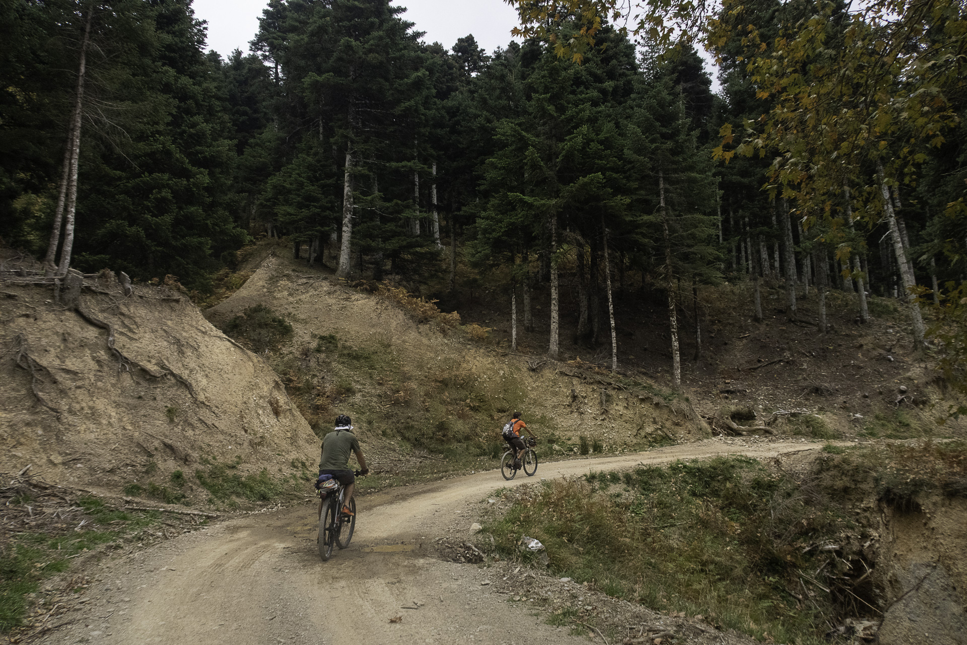
From there, the trail moves across rocky but fir-covered uplands, losing altitude slowly with gentle ups and downs and unique views of the surrounding mountains, before plunging into a plateau of walnut trees — a true cycling delight. From this point, a narrow but gently sloping path, gradually turning into an abandoned dirt road, leads to the famous and highly impressive, lush green plateaus of Vromonera. The route has one last short climb to a pass, but the finale offers a steep, exhilarating descent on a good dirt road and then on a narrow, very steep cement road (watch your brakes!), bringing us back to the starting point in Metochi.
46.2 km.
ROAD
DIRTROAD
BAD DIRTROAD
PATH
46.2 km.
ROAD
DIRTROAD
BAD DIRTROAD
PATH
ROAD
BAD DIRTROAD
DIRTROAD
PATH
GALLERY
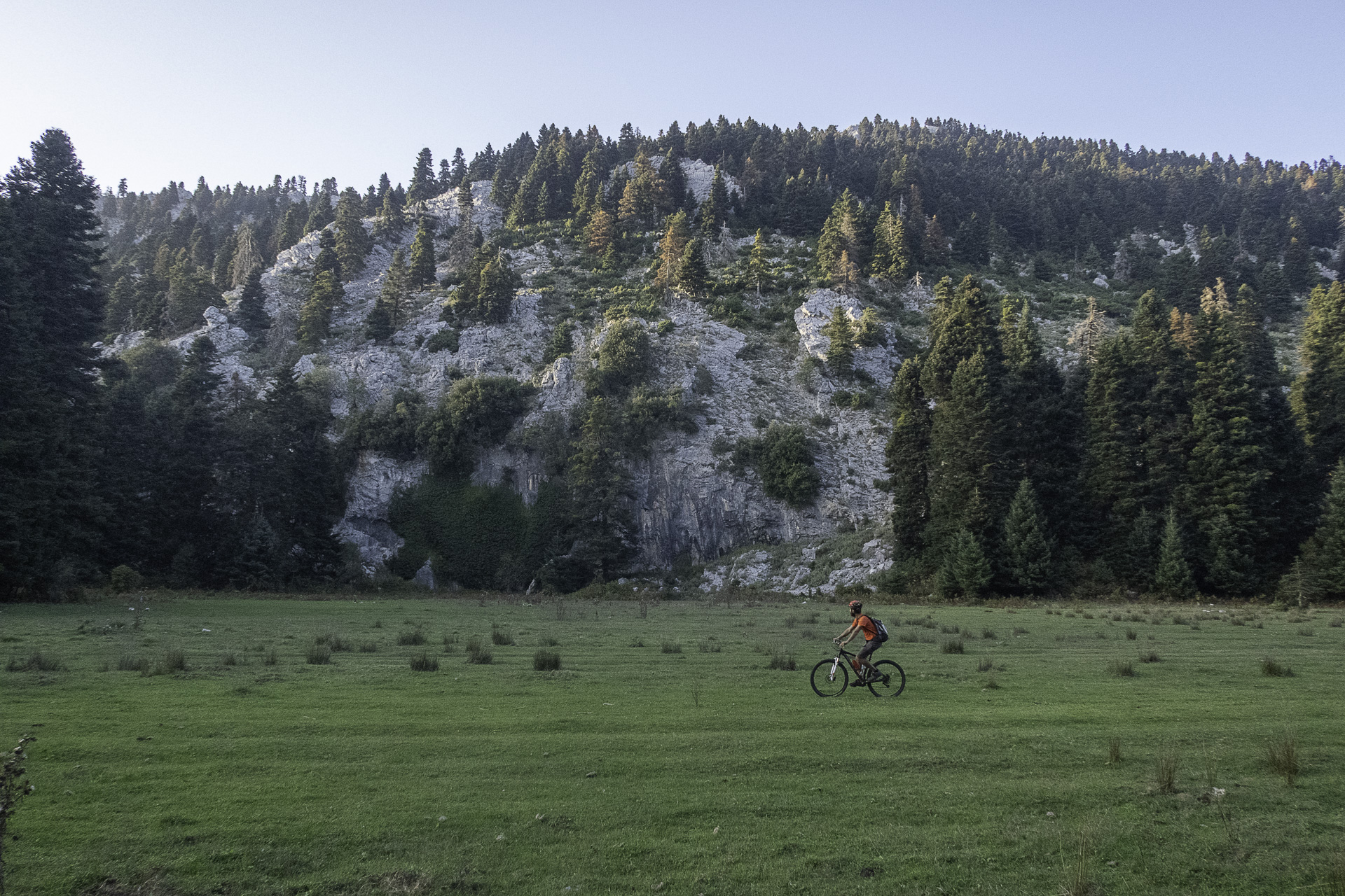
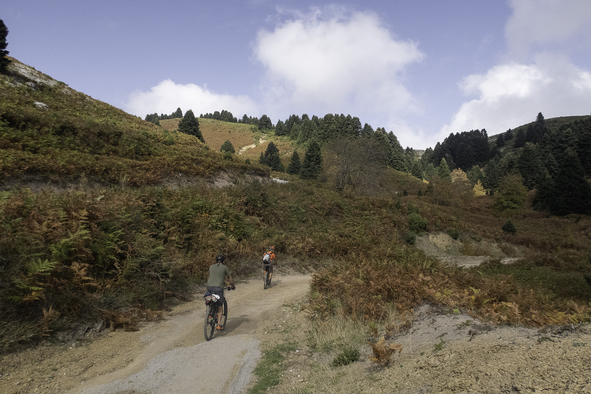
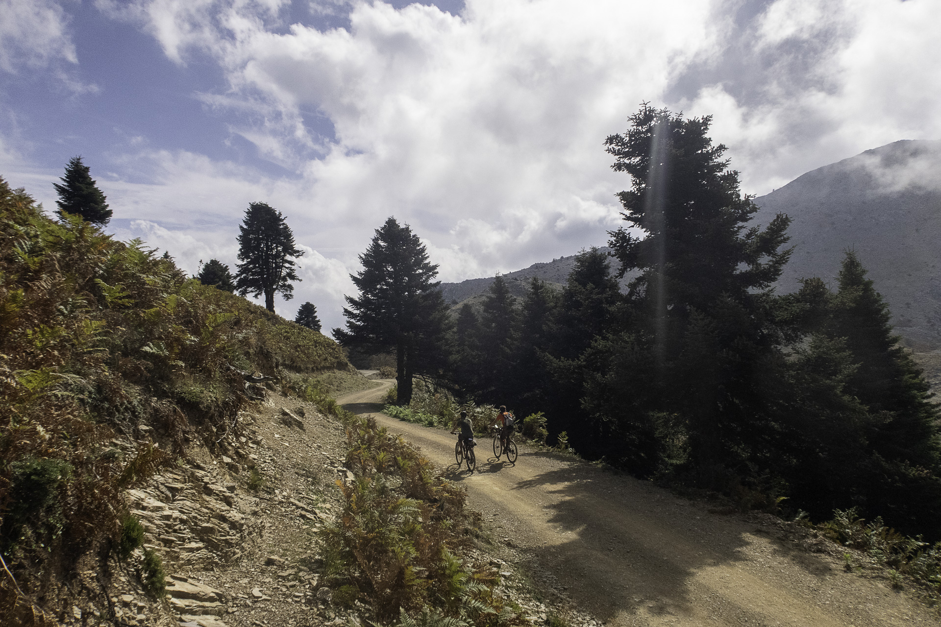
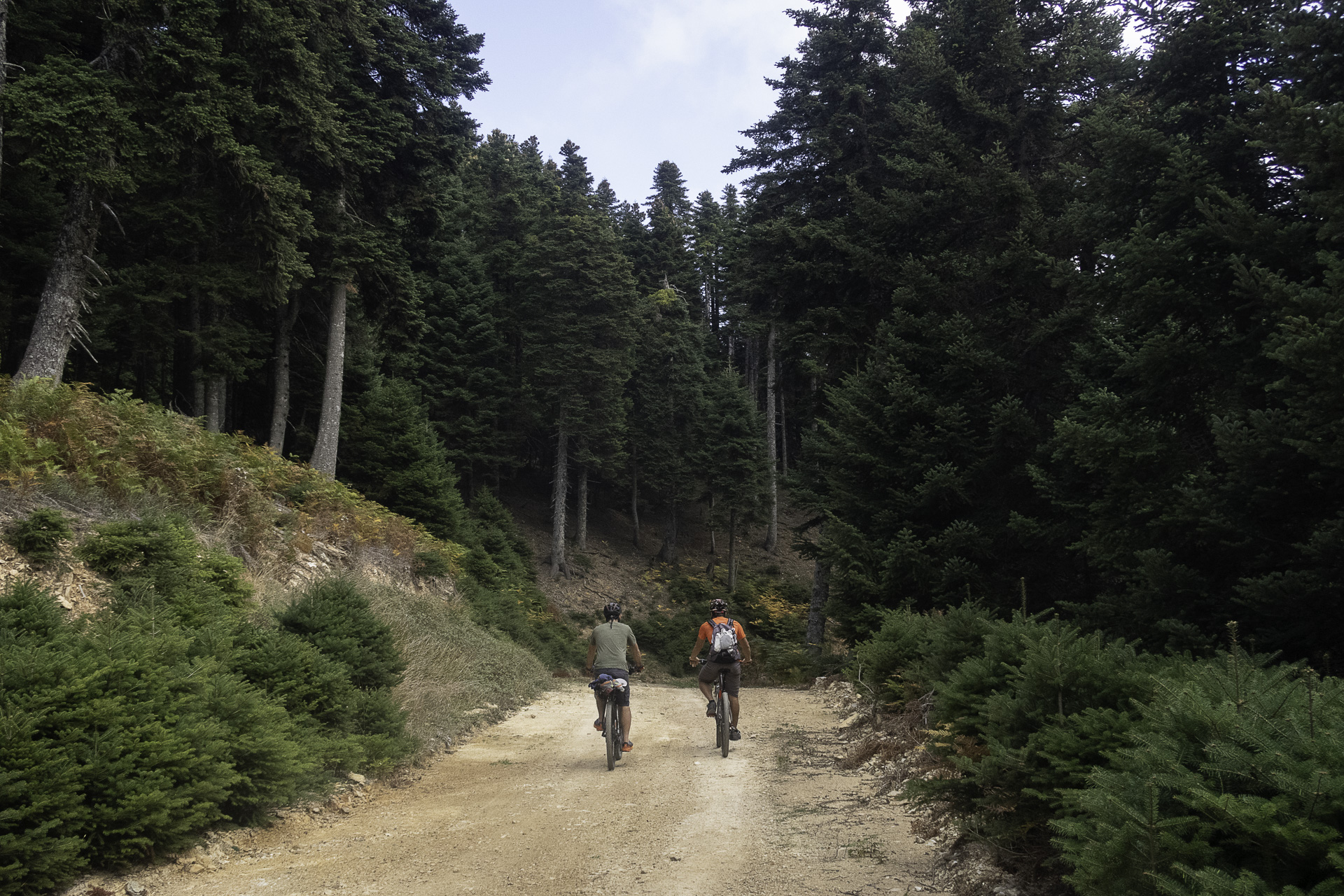
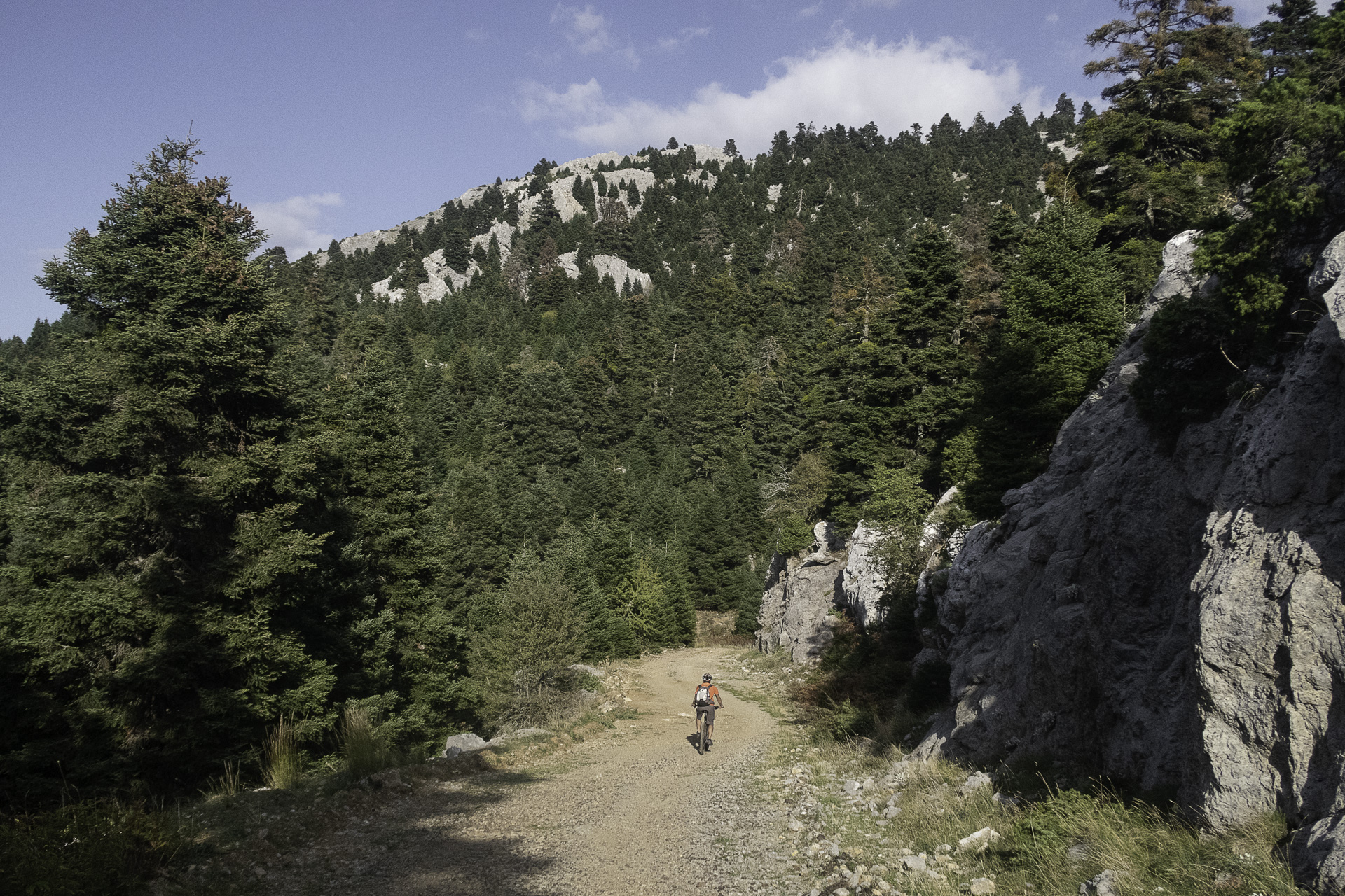
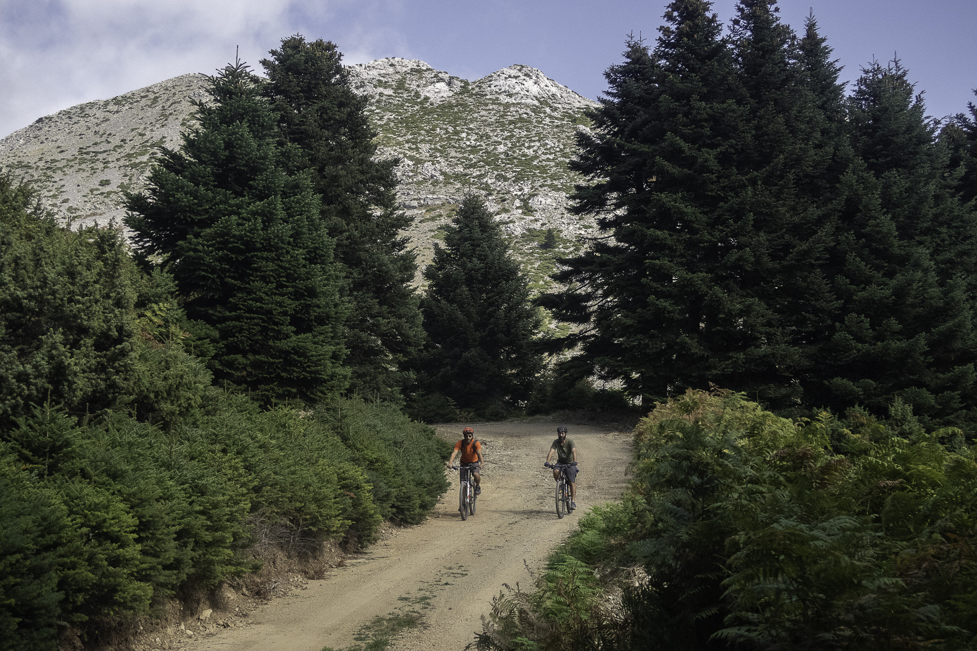
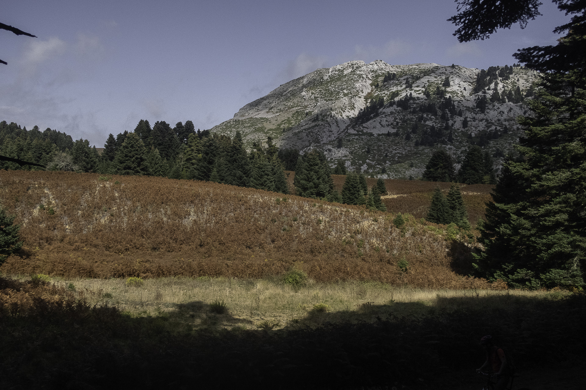
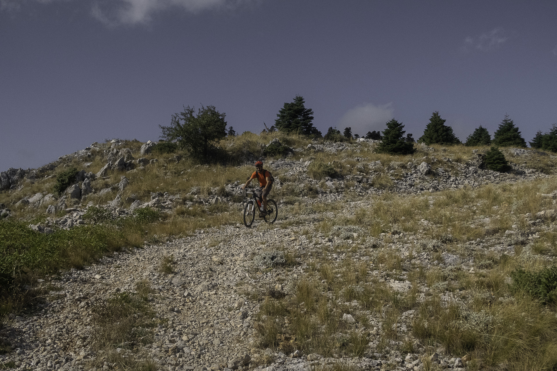
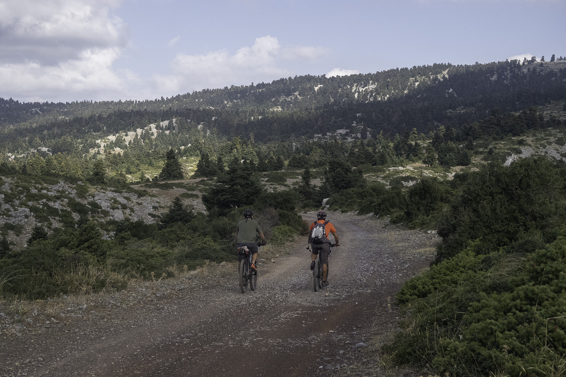
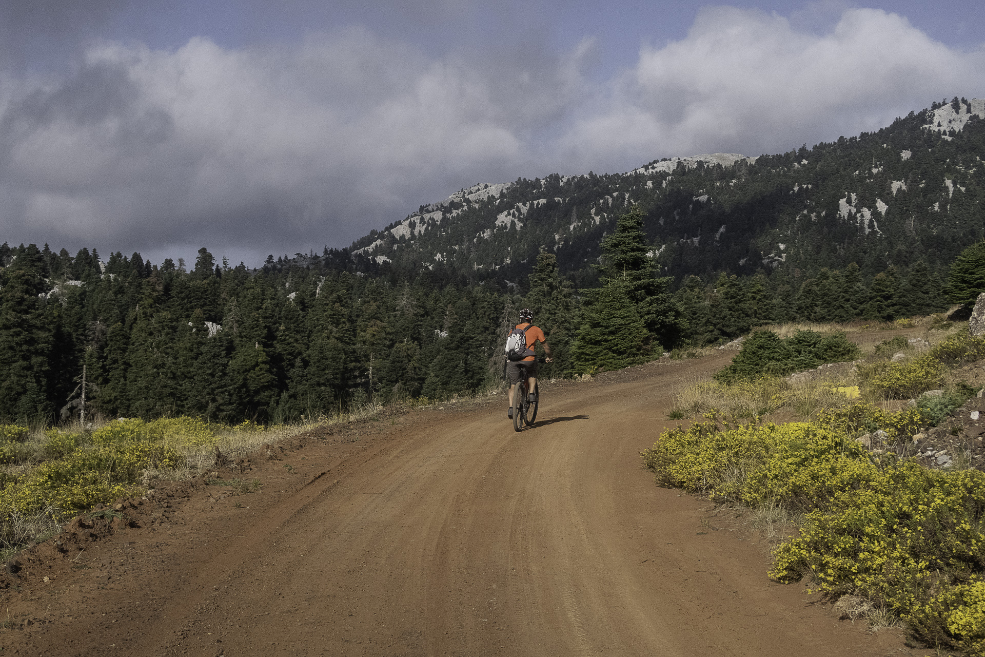
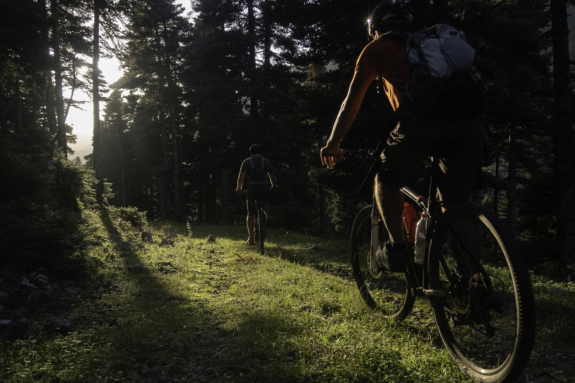
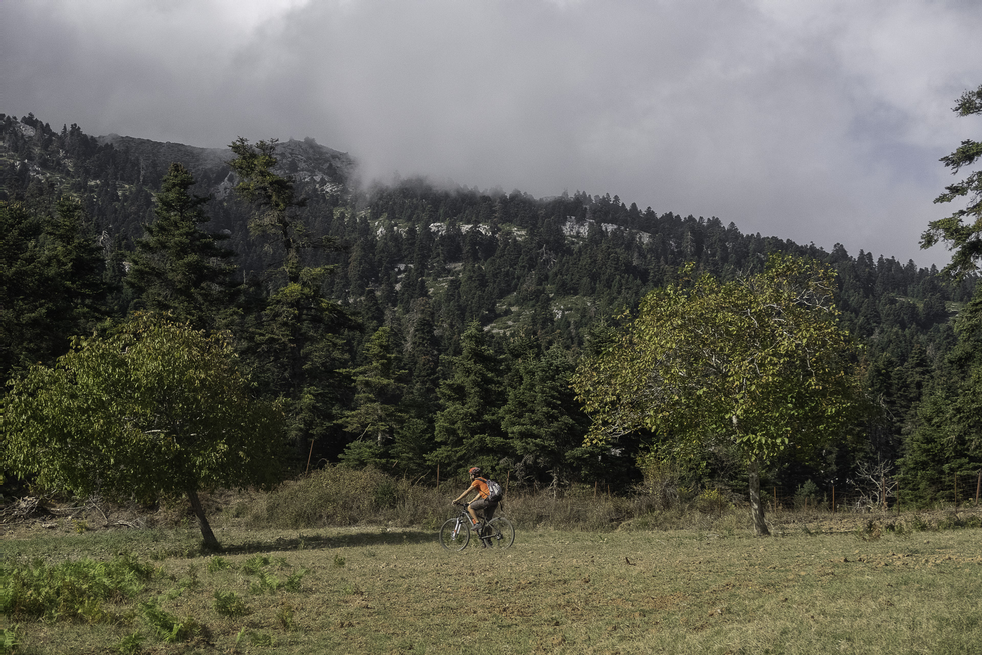
- POINTS OF INTEREST
The beautiful plateau of Skotini hides a rare geological gem. During winter and spring, the streams of the area flow to the lowest point of this blind plateau, forming a small river. Blind and seemingly dead-ended, the river cascades into the depths of the earth through an impressive swallow hole, continuing its journey toward the water table and eventually the sea. This imposing landform is a characteristic example of karst topography, resulting from the chemical weathering of the area’s limestone rocks.
The Vromonera area is the trademark of the Kotylaia. A series of lush green plateaus nestled between towering fir trees and imposing cliffs create a unique setting for mountain biking. A stop here is a must for a snack and some rest before the last uphill stretch and the downhill finish back to Metochi. These plateaus are yet another expression of the diverse karst topography. Dolines and sinkholes formed by the dissolution of limestone were filled with fine-grained deposits from the surrounding slopes, eventually creating, over time, these flat plateaus known as poljes.
ROAD BOOK
| Distance between points | Total distance | Description | |
|---|---|---|---|
| 0 | 0 |  |
Starting point: bridge at the entrance to Metochi |
| 0.2 | 0.2 | |
Continue uphill on the main road to the left |
| 0.5 | 0.7 |  |
At the junction for “Agioi Apostoloi,” turn right |
| 2.8 | 3.5 |  |
At the left switchback, continue on the asphalt road, leaving the dirt road to Chiliadou on the right |
| 5.6 | 9.1 |  |
At the pass, turn left onto the dirt road |
| 1.3 | 10.4 |  |
At the fork, turn right uphill |
| 2.1 | 12.5 | |
At the next switchback, keep right on the main dirt road |
| 0.6 | 13.1 |  |
At the three-way junction, continue straight uphill |
| 0.9 | 14 | |
A few meters after entering asphalt, take the first dirt road left |
| 1.5 | 15.5 | |
At the switchback junction, turn right downhill |
| 0.8 | 16.3 |  |
At the junction with a secondary dirt road, turn right |
| 0.2 | 16.5 | |
At the junction, turn left |
| 0.6 | 17.1 |  |
At the junction, turn left again |
| 0.2 | 17.3 |  |
At the crossroads, take the small detour left for Katavothra (sinkhole); otherwise, continue right uphill |
| 0.7 | 18 | |
At the junction, turn left |
| 2.4 | 20.4 |  |
At the junction, turn left. Follow the main dirt road until the next intersection, ignoring minor junctions |
| 2.5 | 23.9 | |
At the junction, turn left onto a wide dirt road
|
| 6.6 | 30.5 |  |
At the three-way junction, turn right |
| 1.7 | 32.2 | |
At the junction, turn left |
| 1.4 | 33.6 | |
At the clearing with fencing, enter diagonally left onto a path |
| 0.9 | 34.1 | |
At the path junction, turn left downhill |
| 0.4 | 34.5 | |
Enter the ruined dirt road on the left |
| 1.2 | 35.7 | |
At the junction, turn left onto a wide dirt road |
| 1.2 | 36.9 | |
At the fork in Vromonera, turn right uphill |
| 1.0 | 37.9 |  |
At the junction, turn left |
| 1.4 | 39.3 | |
At the fork, turn right downhill |
| 0.4 | 39.7 | |
At the junction, turn right downhill at the switchback |
| 2.2 | 41.9 | |
At the fork, turn right downhill |
| 0.6 | 42.5 | |
On the cement road, turn right at the switchback
|
| 3 | 45.5 | |
Entering the village, turn left onto asphalt |
| 0 | 45.5 | |
After 20 meters, turn left onto the cross asphalt road |
| 45.7 | |
At the fork, turn right downhill |
|
| 0.5 | 46.2 |  |
Finish at the bridge on the main asphalt road |