
GRAMMATIKO
KILOMETERS
DURATION
ELEVATION
PROPOSED SEASON
DIFFICULTY
PHYSICAL CONDITION
TECHNICAL DIFFICULTY
STARTING POINT
Author:
G. Koutrotsios
Photos:
V. Karalaios
The secrets of Stravaetos
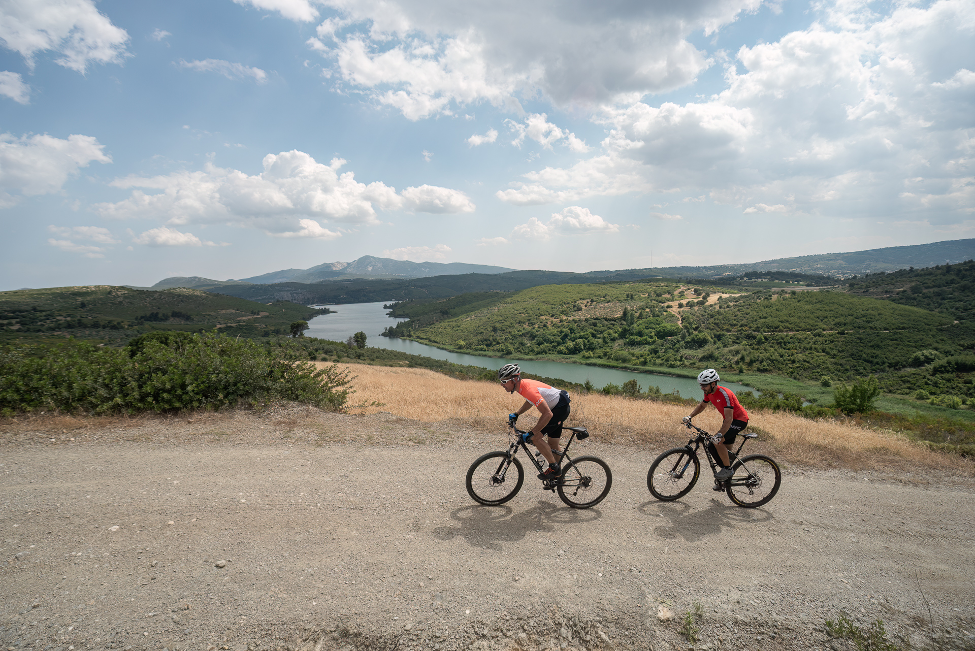
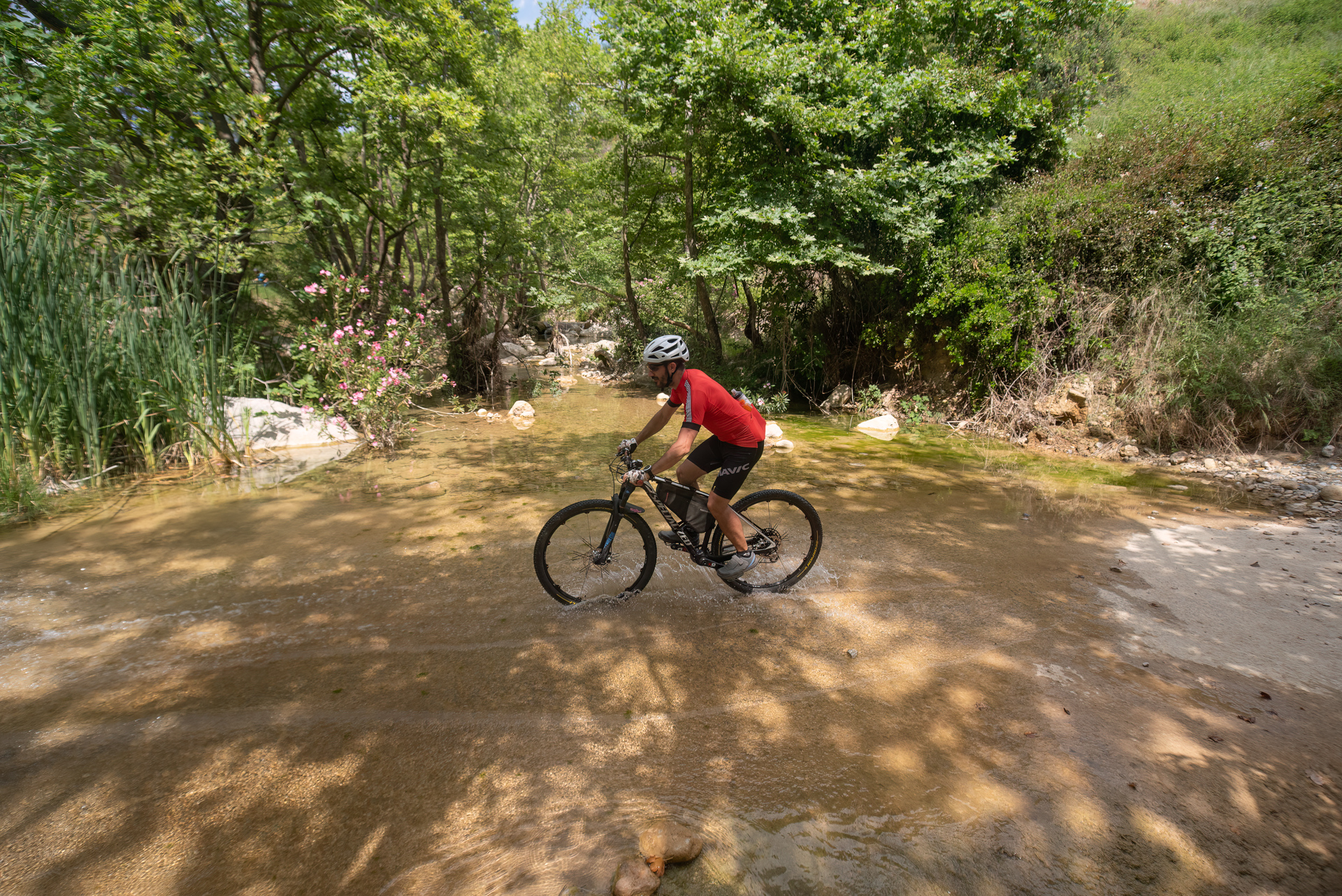
The route around Mount Stravaetos offers a full “menu”: a lush ravine shaded by plane trees and full of running water, a visit to abandoned iron mines, sweeping views reaching as far as Evia, challenging dirt roads — and, for dessert, a dip in cool green pools. As for the bill, it’s paid at the well-kept canteen of Varnavas, after enjoying a cold beer by the stream.
INTRODUCTION
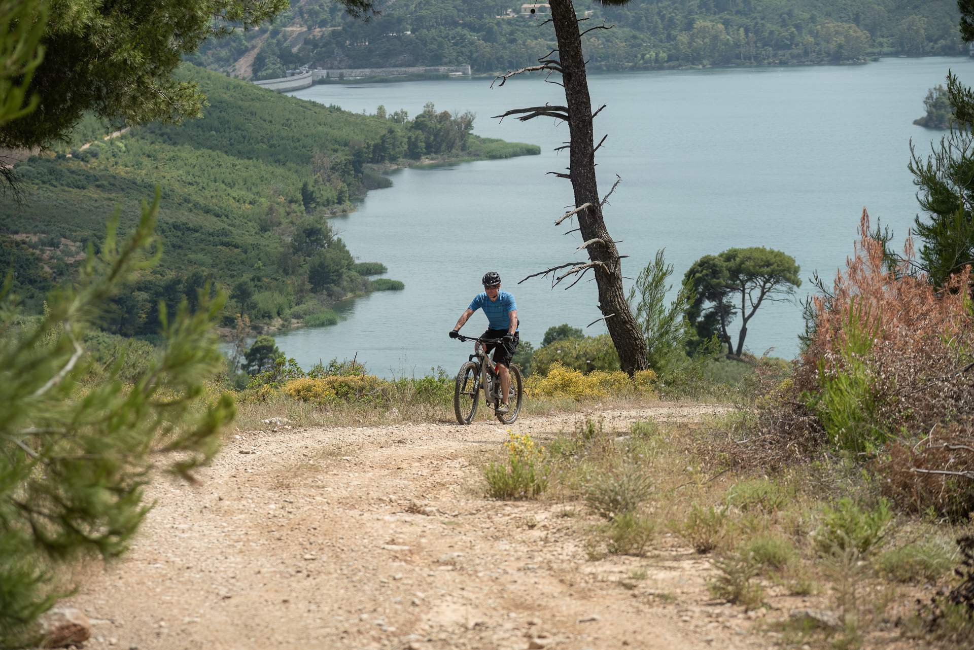
If you choose to explore the mountain with the imaginative name “Stravaetos” by bike, you’ll find yourself on a ride that combines diverse landscapes and unique highlights: a green ravine with plane trees and abundant water, old iron mines, views stretching toward Evia, demanding dirt sections, and refreshing natural pools — known locally as “Rathes.”
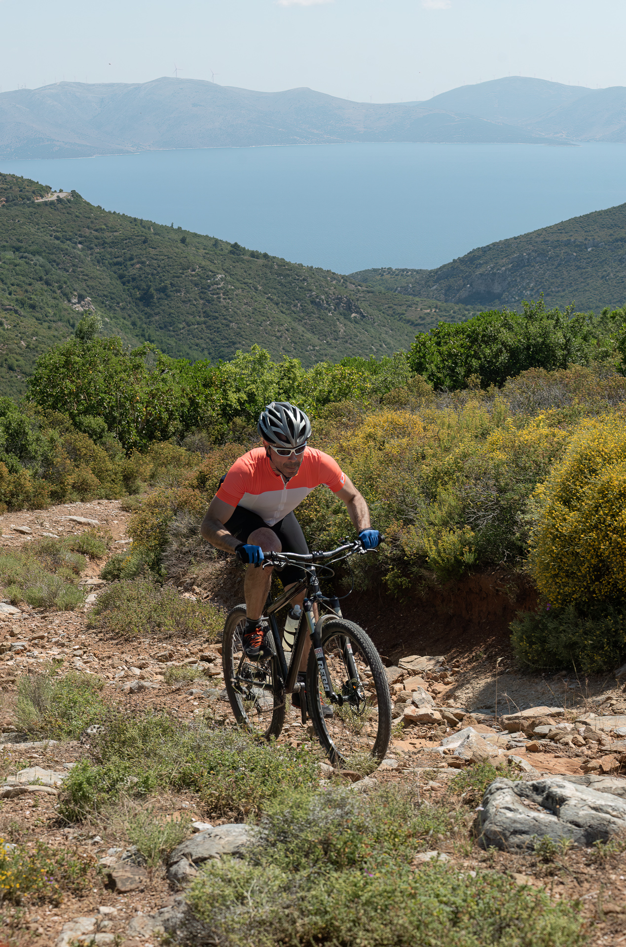
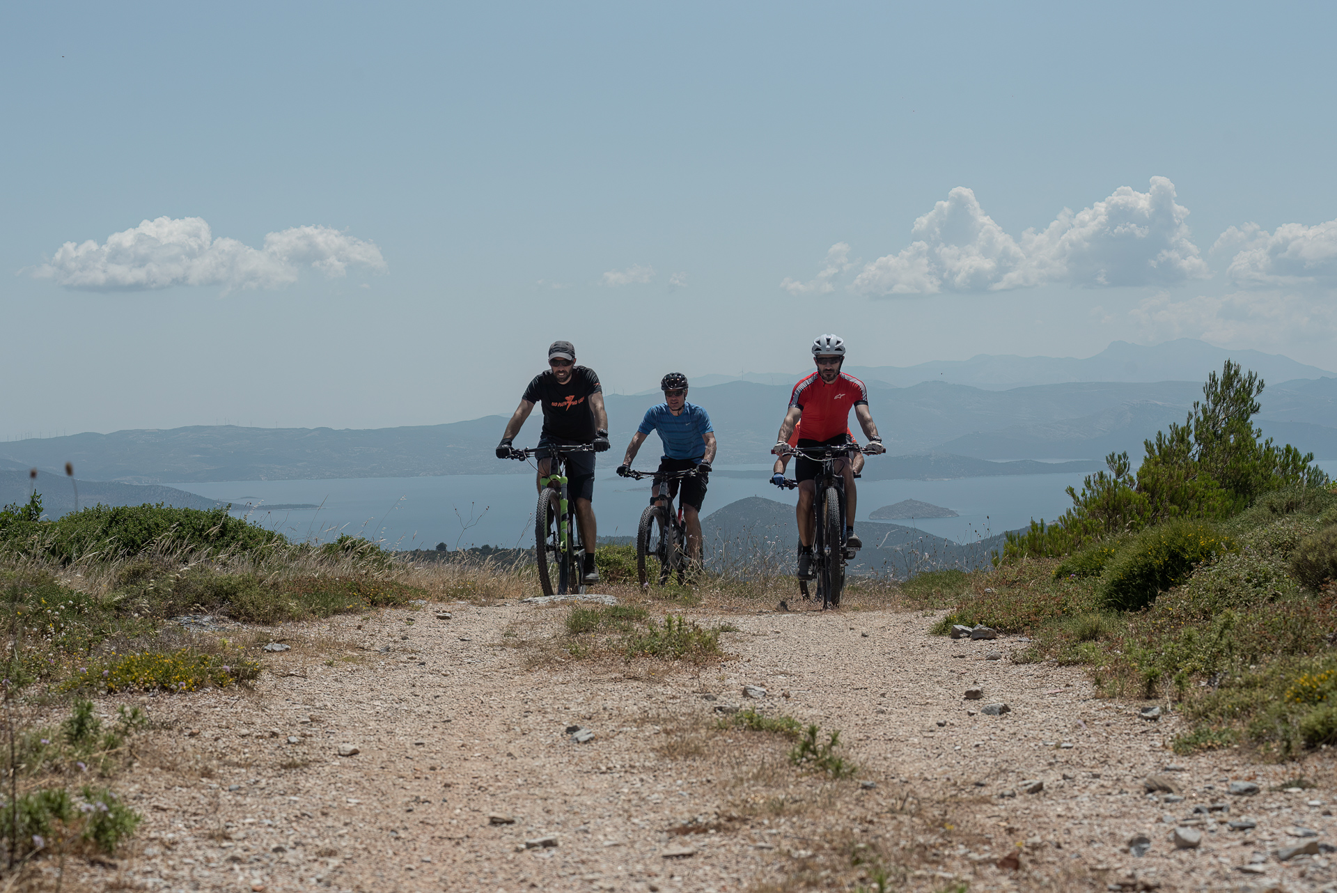
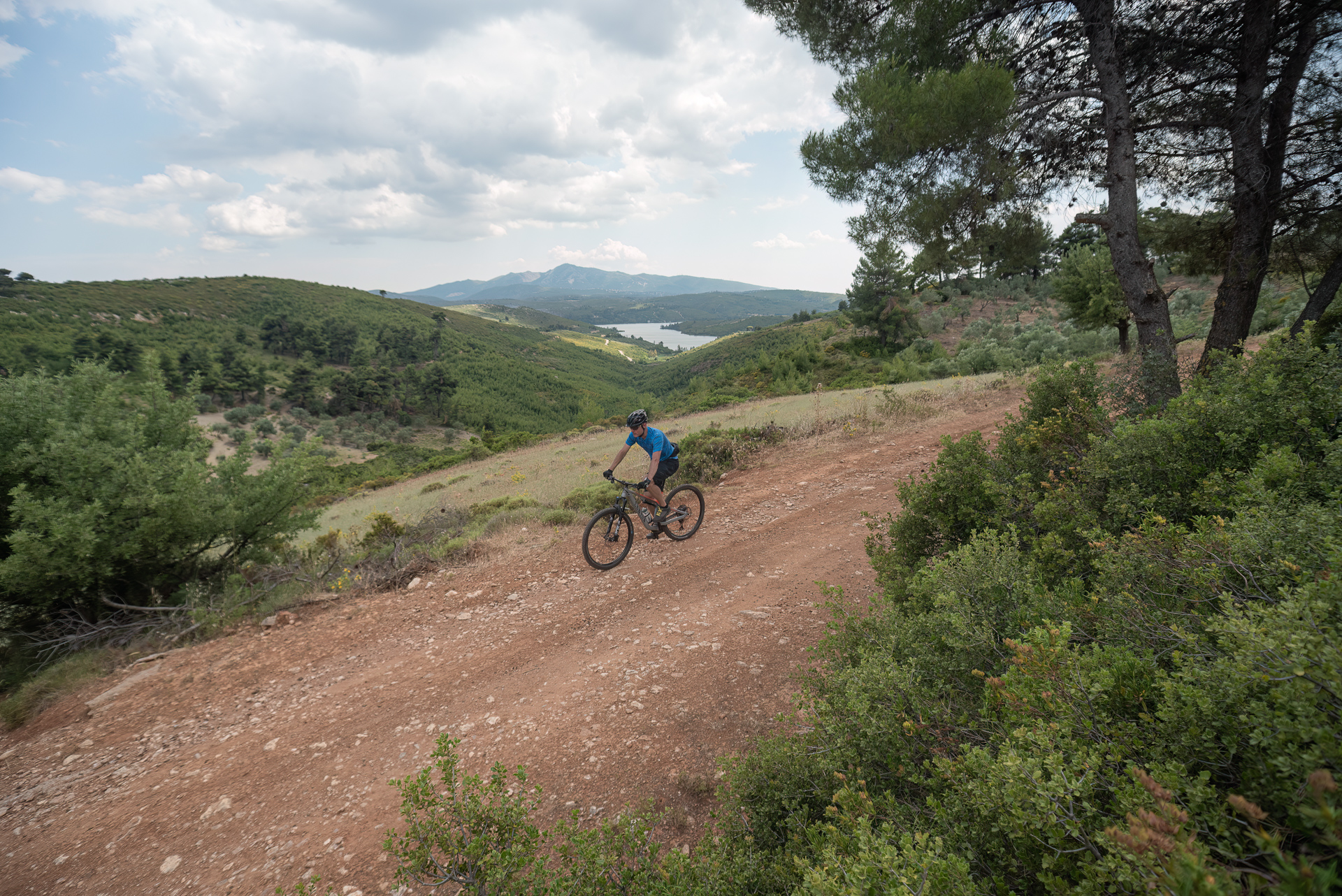
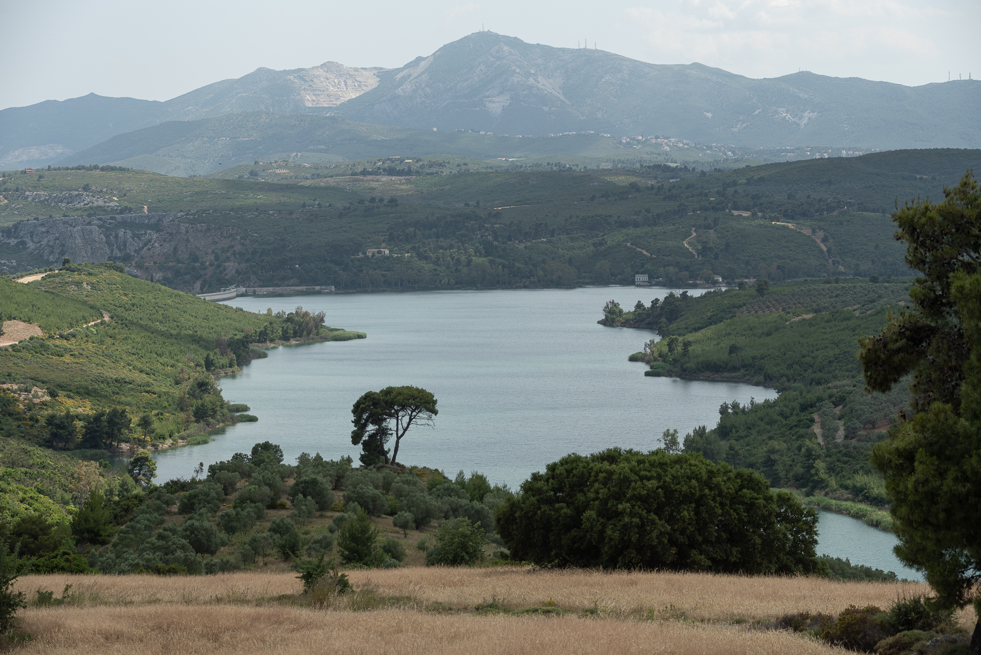
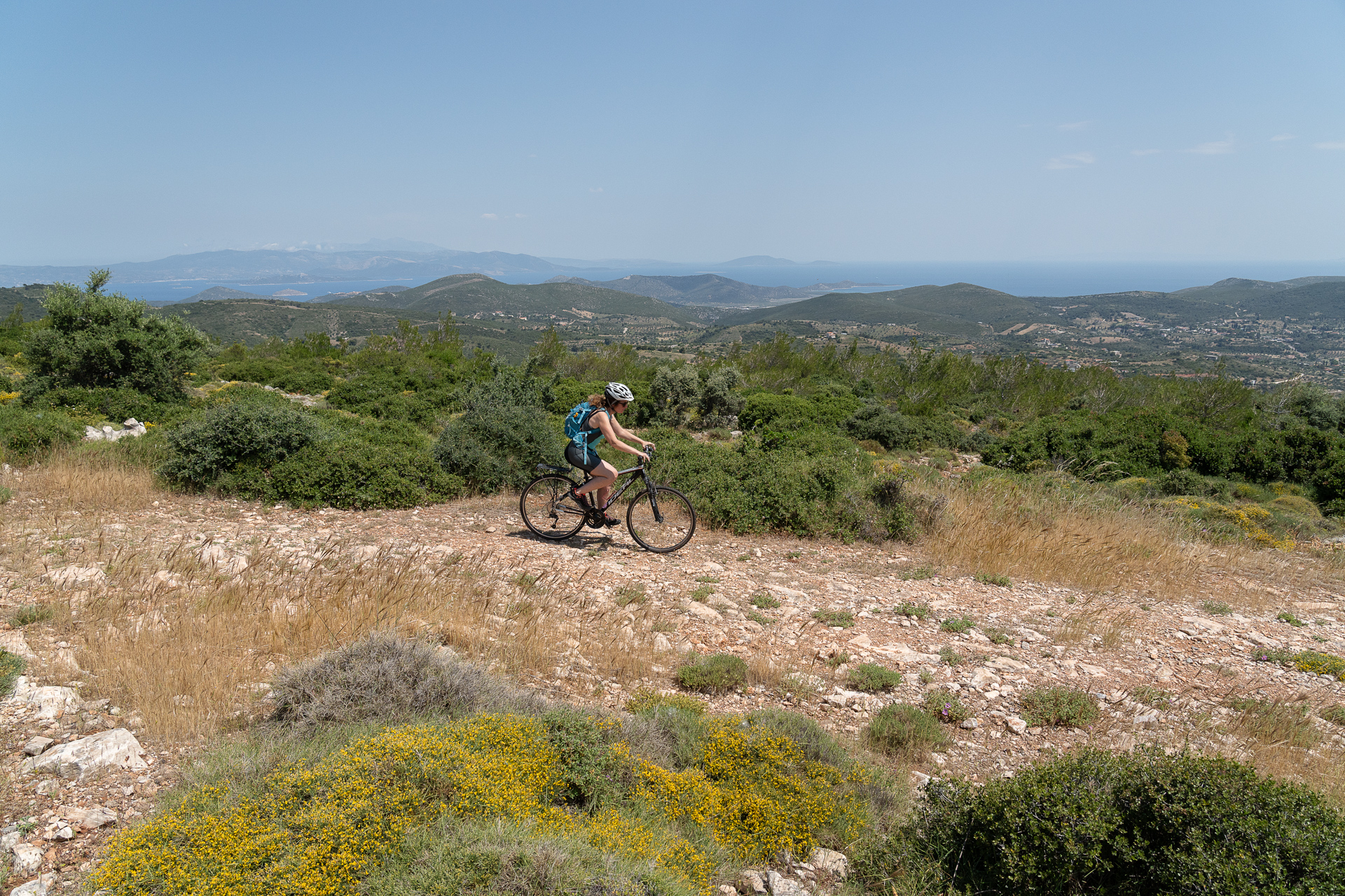
The suggested route circles Mount Stravaetos (elevation 591 m), located within the triangle formed by Varnavas, Grammatiko, and the Marathon Lake. The mountain slopes and surrounding hills have gentle gradients and are covered mainly with low shrubland, hosting a rich ecosystem with many rare plant species.
In early spring, the area blooms with wildflowers — including dozens of wild orchid species. In contrast, the western part of the route is forested, nourished by the Varnavas Stream and shaded by tall pines and plane trees. Hidden within it lies a beautiful natural pool — or “Rathes,” as the locals call it — an ideal spot for a stop and a swim during the summer months.
ROUTE DESCRIPTION
The ride starts from the well-known canteen in the ravine just before Varnavas, an ideal place for a pre-ride coffee or snack — and, afterward, for a “recovery” beer by the water.
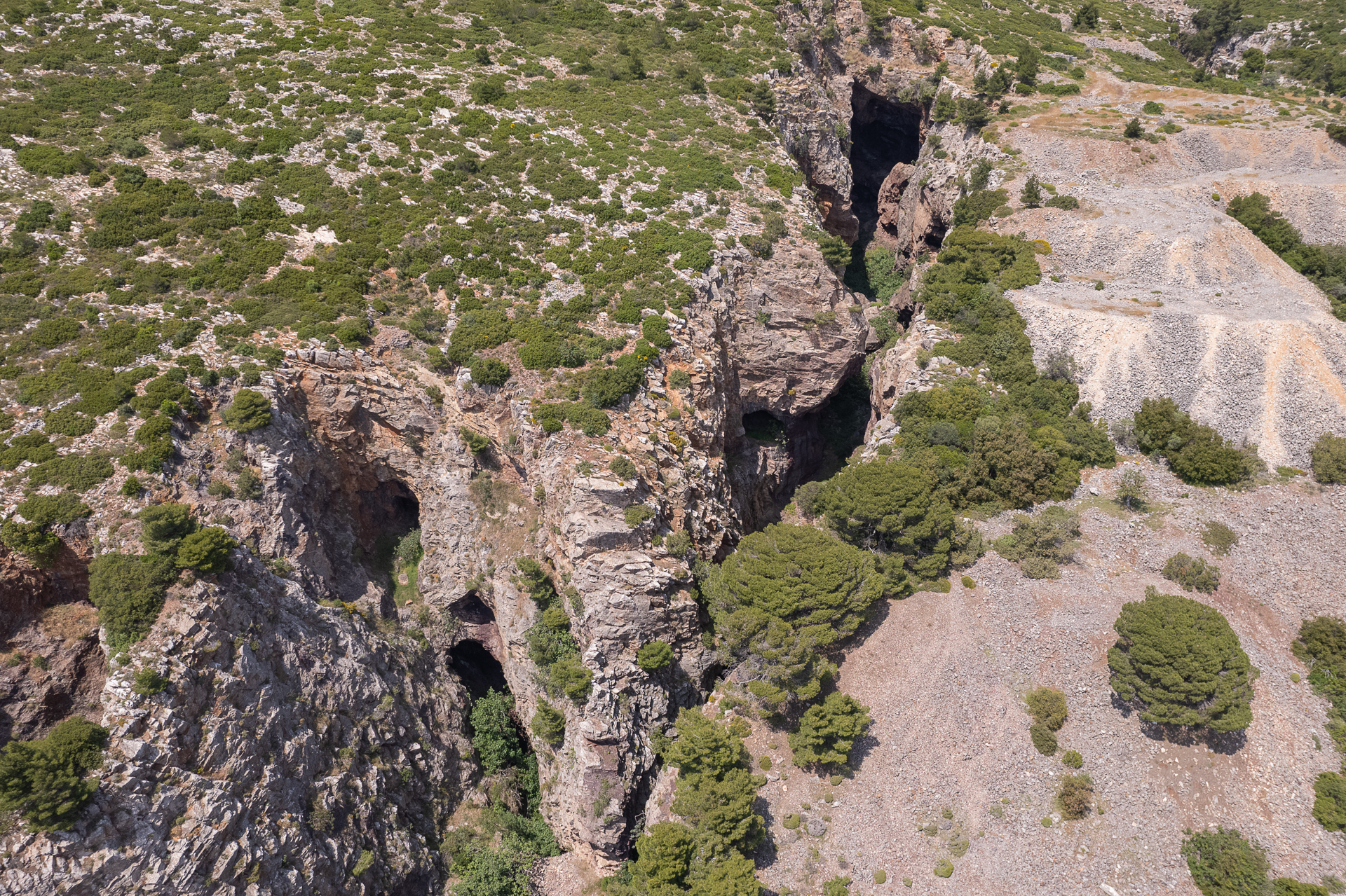
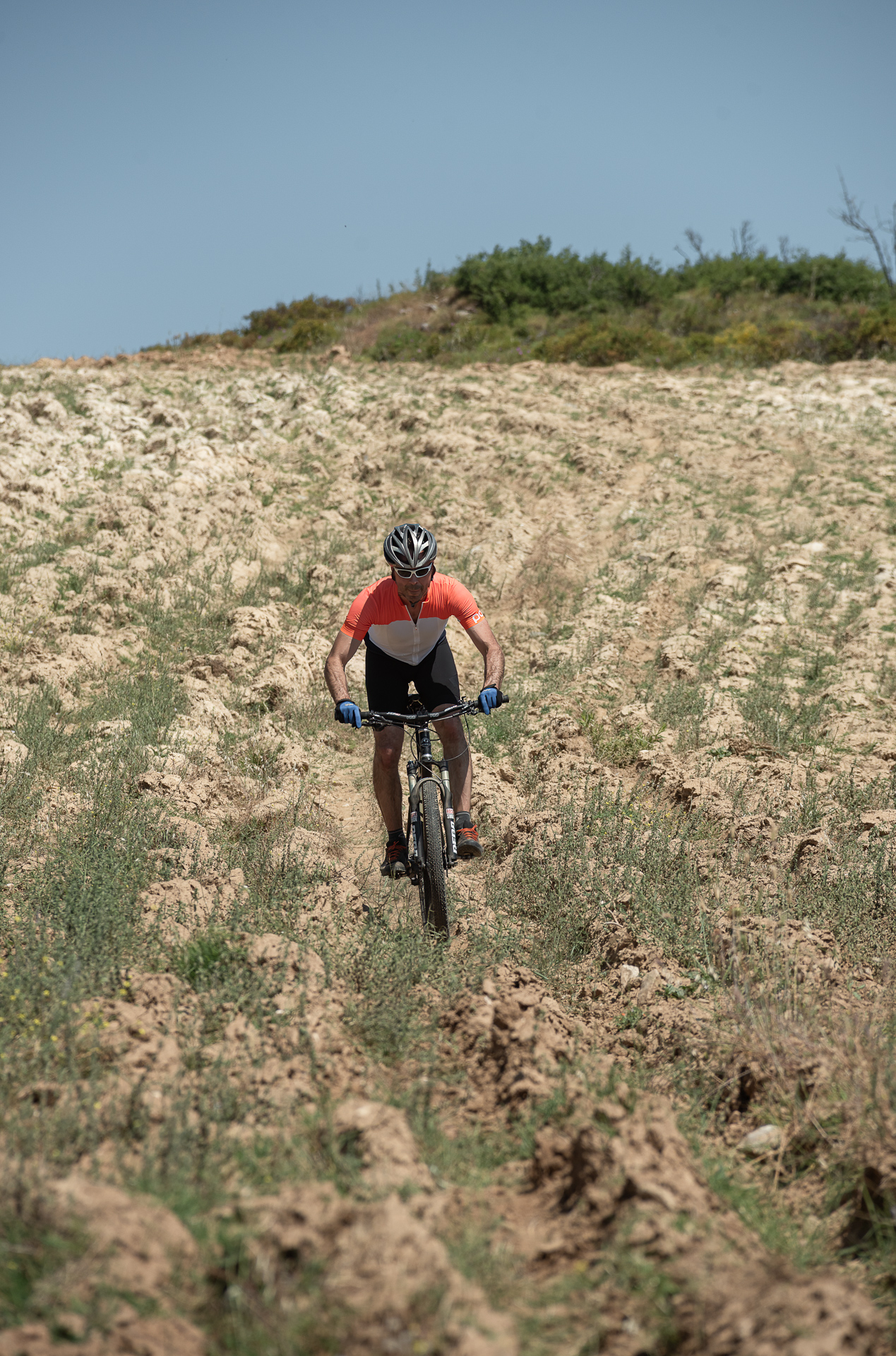
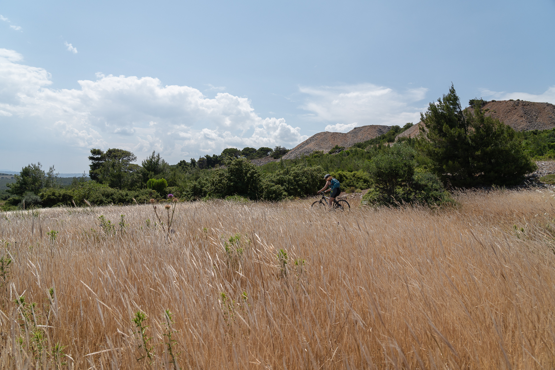
The first part follows smooth dirt roads through dense vegetation before descending toward Grammatiko, crossing a rough, rocky section that will test both your suspension and your grip. After passing Grammatiko, the route climbs for about 7 km, first on asphalt and then on dirt, passing by the old iron mines with their tunnels and deep trenches, before reaching the highest point of the ride, near the Stravaetos fire lookout tower.
The final section is mostly downhill and, about 2 km before the end, reaches the Rathes pools — a perfect spot for a refreshing break.
27.8 km.
ROAD
DIRTROAD
BAD DIRTROAD
PATH
27.8 km.
ROAD
DIRTROAD
BAD DIRTROAD
PATH
ROAD
BAD DIRTROAD
DIRTROAD
PATH
GALLERY
- POINTS OF INTEREST
A small natural pool (vathra) with clear waters and a small waterfall at one edge. The best time to visit is in spring and early summer, as the water level drops significantly after July and dries up in early autumn.
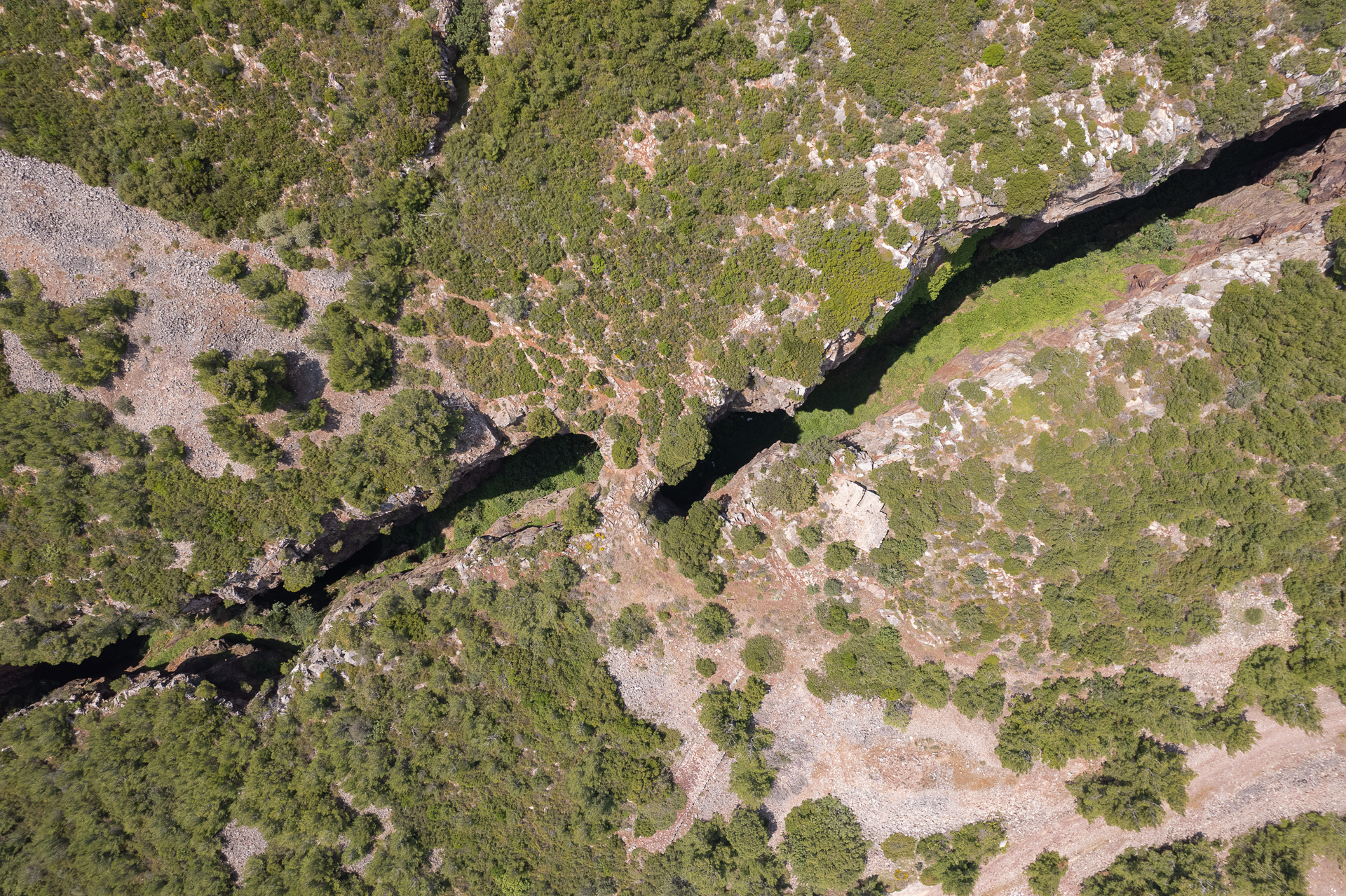
The deep excavations along the road were created for ore extraction. Their linear arrangement follows the underground mineral veins. Below the surface lies an extensive network of tunnels and shafts spreading across 8–9 levels.
Exploring the old mines requires extreme caution — the walls are unstable and may collapse, while entering the shafts demands specialized caving equipment.
ROAD BOOK
| Distance between points | Total distance | Description | |
|---|---|---|---|
| 0 | 0 |  |
Starting point: the canteen at Varnavas Ravine, just before entering the village (coming from Kapandriti). Head toward Kapandriti. |
| 1 | 1 |  |
Turn left at the first asphalt road |
| 0.3 | 1.3 |  |
At the start of the dirt road, keep left at the fork. |
| 0.8 | 2.1 |  |
Midway down the descent, go diagonally right onto a narrow dirt road. |
| 1.2 | 3.3 |  |
At the end of the road, facing Marathon Lake, turn diagonally left and back onto a descending dirt road. |
| 1.8 | 5.1 |  |
At the top of the next climb, turn right downhill at the junction. |
| 1.1 | 6.2 |  |
At the main asphalt road, turn left toward Grammatiko. |
| 1.9 | 8.1 | |
When Grammatiko comes into view, turn diagonally right onto a dirt road leading toward the antennas. |
| 0.2 | 8.3 |  |
Halfway up the climb, keep right at the fork. |
| 2.0 | 10.7 |  |
At the end of the rough section, turn left at the junction. |
| 0.5 | 11.2 | |
At the end of the dirt road, turn left onto asphalt toward Grammatiko. |
| 1.1 | 12.3 |  |
At the main asphalt road, turn left again toward Grammatiko. |
| 0.2 | 12.5 | |
At the village entrance, turn left uphill toward the square |
| 0.4 | 12.9 | |
At the square, turn left toward Varnavas. |
| 2.1 | 15.0 |  |
At the roundabout, take the first exit (straight ahead). |
| 0.7 | 15.7 |  |
Just before the concrete bridge, turn diagonally left onto a dirt road. |
| 2.0 | 17.7 |  |
At the top of the climb, near the fire lookout, turn right toward the antennas. |
| 0.3 | 17.9 | |
At the fork before the antennas, turn right downhill toward Varnavas. |
| 1.5 | 19.5 | |
Just before Varnavas Cemetery, at the fenced house, turn left at the fork. After 20 m, go straight (right) at the next fork. |
| 0.1 | 19.6 | |
At a left hairpin, go straight, and immediately after, at the next fork, turn right. |
| 0.7 | 20.8 | |
At the end of the rough section, turn right onto asphalt. |
| 0.8 | 21.6 | |
At the next fork, turn left toward Kapandriti and Athens. |
| 0.5 | 22.1 | |
At the bottom of the descent, turn sharply left onto a very steep downhill road. |
| 0.1 | 22.2 | |
After crossing the stream, turn right onto a dirt road. |
| 0.9 | 23.1 |  |
Ignore a side road on the left; after 20 m, on a right bend, continue straight off the main track. |
| 0.5 | 23.6 |  |
At the next fork, keep straight (left); the right road ends in a field. |
| 0.2 | 23.8 |  |
At the stream, turn right. |
| 0.2 | 24 | |
At the first fork, turn right downhill. |
| 0.2 | 24.2 | |
At the second fork, again right downhill. |
| 1.9 | 26.1 | |
At the top of the next climb, keep straight (right), then at the next fork right again. |
| 0.8 | 26.9 | |
At the main asphalt road, turn right toward Varnavas — and return to the starting point. |