
KASTELLIA – APOSTOLIAS
KILOMETERS
DURATION
ELEVATION
PROPOSED SEASON
DIFFICULTY
PHYSICAL CONDITION
TECHNICAL DIFFICULTY
STARTING POINT
Author:
G. Koutrotsios
Photos:
G. Koutrotsios
Through the Oak Forests of Ancient Doris
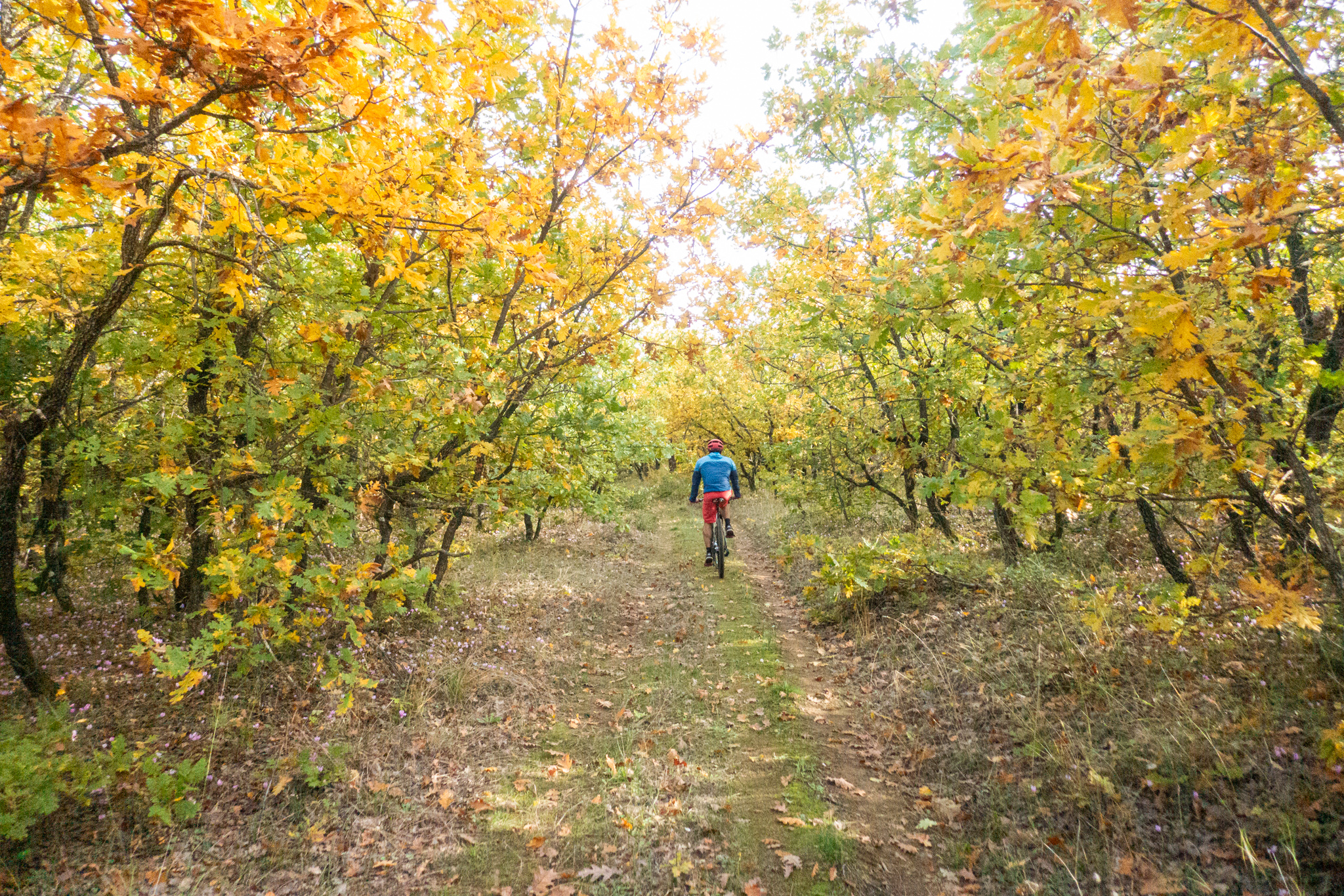
A delightful cycling route through the heart of ancient Doris, between the villages of Kastellia, Apostolias and Bralos. Quiet dirt roads wind through dense oak forests, offering magnificent views of the northern slopes of Mount Parnassus and the valley of the Boeotian Cephissus River. A route with no significant technical challenges, ideal for those who appreciate the tranquillity of nature and care little about performance statistics.
INTRODUCTION
At the northeastern edge of Phocis, nestled between the mountain ranges of Oeta, Giona and Parnassus, lies an area of exceptional natural beauty, characterised by extensive oak forests, small streams and traditional villages that preserve the traces of a long and fascinating history. Here, between the villages of Kastellia, Apostolias and Bralos, unfolds a beautiful cycling route, most of which follows quiet dirt roads through dense oak forests.
In ancient times, the wider region was the homeland of the Dorians, as it was here that the renowned Doric Tetrapolis flourished, comprising the four cities of Cytinium, Erineus, Boium and Pindus. Kastellia, situated at an altitude of approximately 450 metres, lies in the heart of ancient Doris. Its name is associated with a medieval castle, the ruins of which can still be found near the site of the original settlement. The village was initially located at Paliokastelli, from where its inhabitants gradually moved to its present location during the 19th century. The villagers also played a significant role in the Greek War of Independence in 1821, with some fighting alongside Odysseas Androutsos in the historic Battle of the Inn of Gravia. Today, Kastellia is one of the largest and best-kept villages in the area, with stone-built houses, flower-filled courtyards, traditional cafés and tavernas, and a permanent population of around 400.
A little further north lies Apostolias, a small village situated at an altitude of approximately 520 metres, at the foot of Mount Oeta. Until 1927, it was known as Kato Kaniani, while its present name is associated with the Church of the Holy Apostles, which stands prominently in the centre of the village. The village’s history is closely linked to agriculture and mining, as bauxite mines once operated in the surrounding area, providing employment for many local residents.
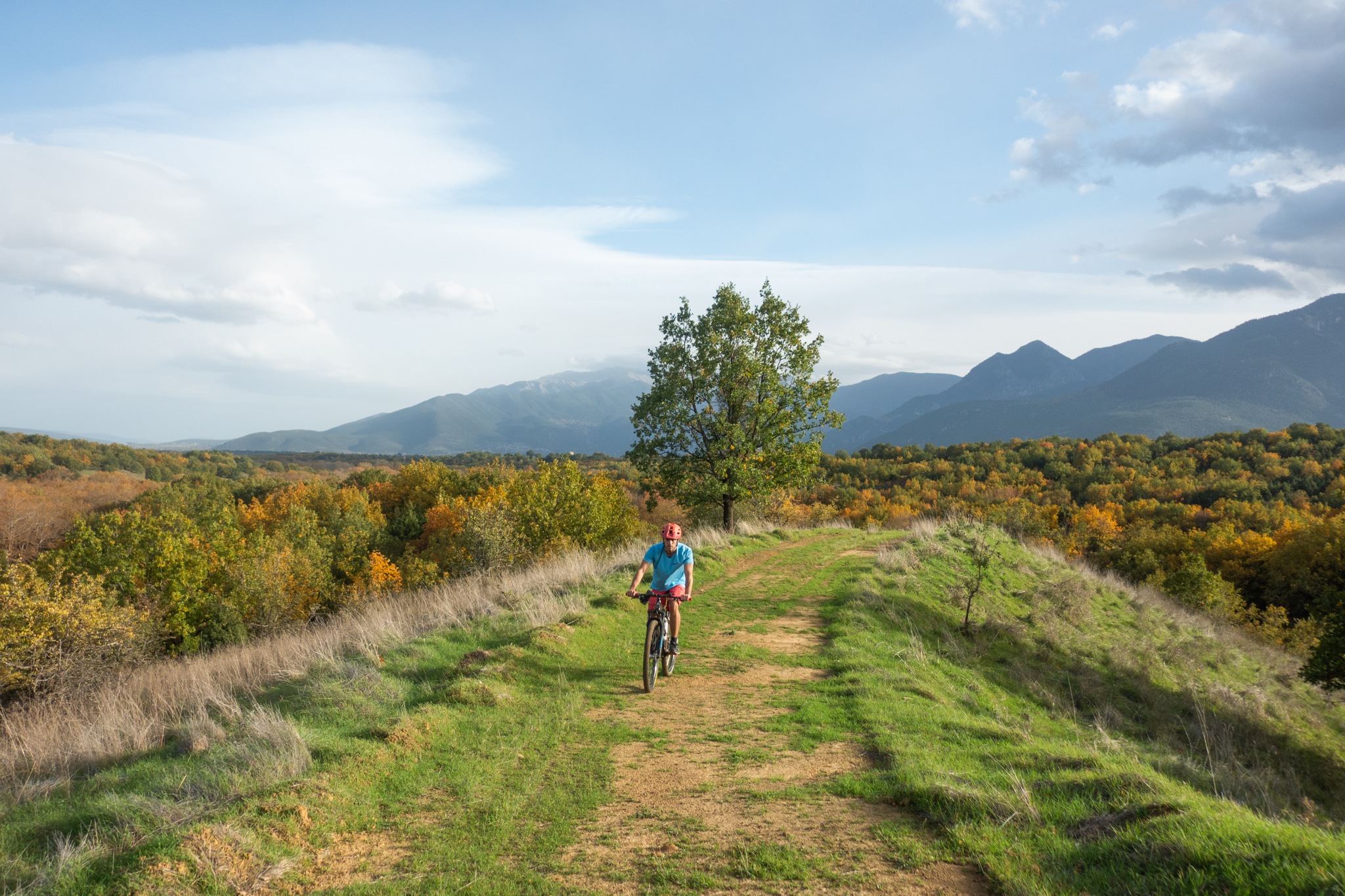
However, what truly makes this area special is its natural environment. The hills between Kastellia, Apostolias and Bralos are covered by extensive deciduous oak forests, creating a lush green landscape in spring and summer, before transforming into a spectacular mosaic of every imaginable shade of yellow and brown in autumn. These forests, like many others scattered throughout Greece, are remnants of ancient oak woodlands that once formed an important part of the natural vegetation across much of the country, particularly in its hilly and mountainous regions. Over the centuries, however, extensive logging for firewood and timber, land clearance for agriculture and intensive livestock grazing led to their gradual decline. In many areas, continuous grazing prevented the natural regeneration of oak trees, causing former woodlands to be replaced by shrublands, pastures or other types of forest vegetation.
The small streams that cross the area, particularly the Apostolias stream, which plays a central role in the route, have shaped a varied landscape of gentle hills and valleys. Meanwhile, openings in the forest reveal magnificent views of the northern slopes of Mount Parnassus and the valley of the Boeotian Cephissus River.
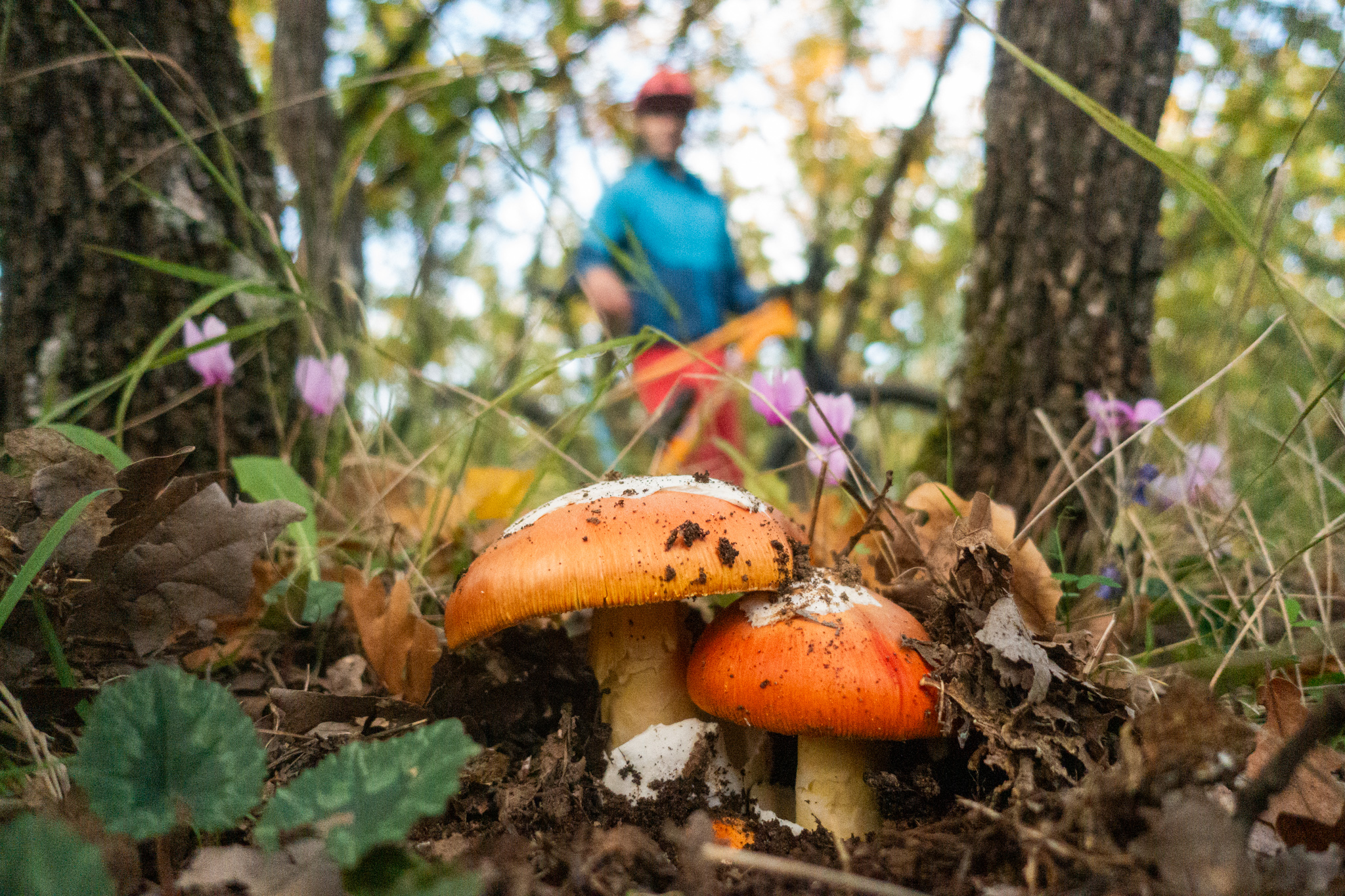
The area’s old forest tracks and agricultural roads, combined with its relatively gentle terrain, provide an ideal setting for cycling routes. In autumn, following the first substantial rainfall, the oak forests host an impressive diversity of mushrooms, including the highly prized edible boletes (porcini). A cycling excursion can therefore be combined with mushroom watching or even foraging, provided that participants have the necessary knowledge to identify edible species safely.
ROUTE DESCRIPTION
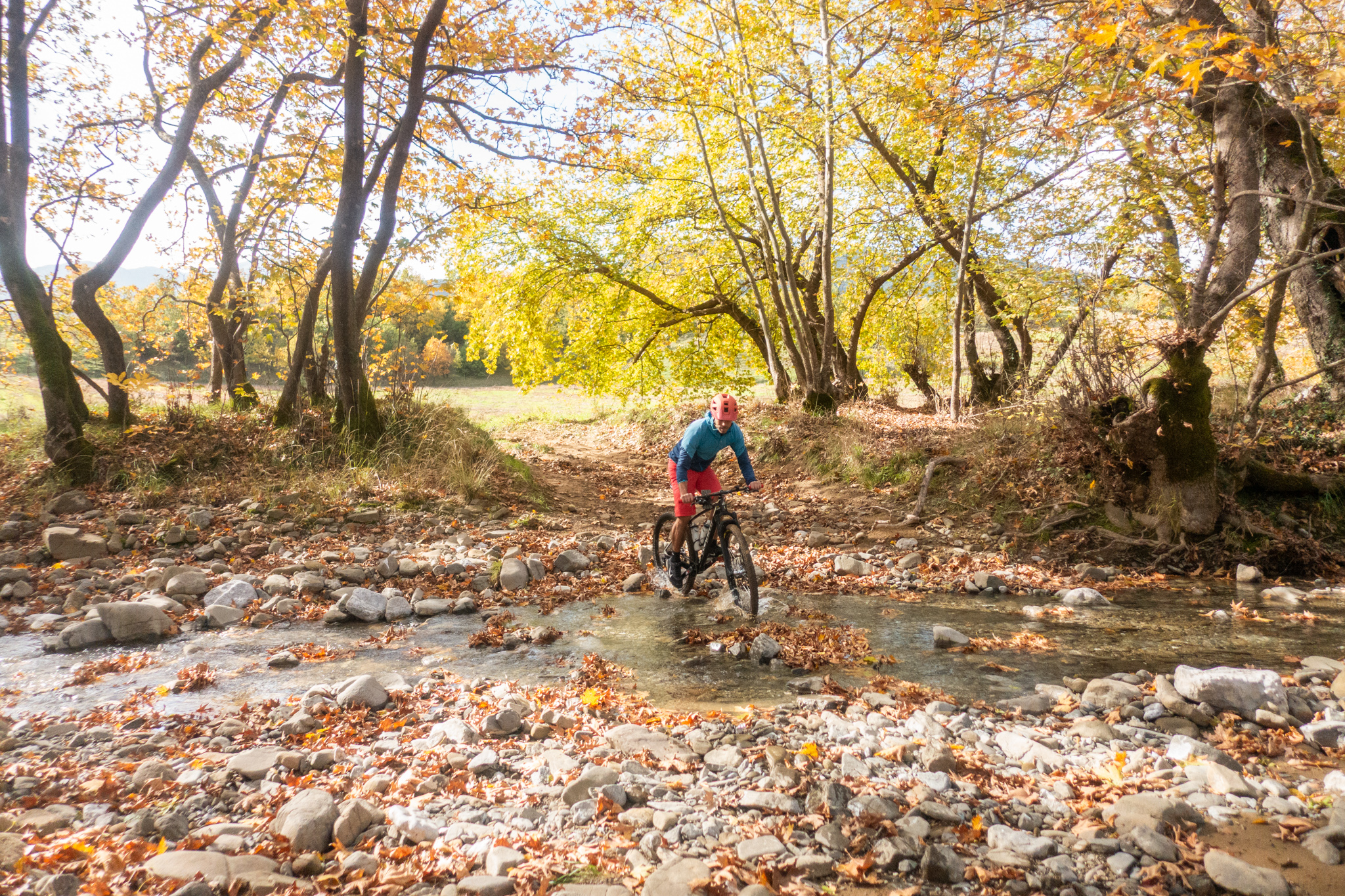
The route starts in the village of Kastellia, just 5 km from the historic village of Gravia. Shortly after leaving the village to the north, an easy dirt road descends towards the Apostolias stream and continues alongside its course until it meets the paved road connecting Apostolias with the main Bralos–Oeta road.
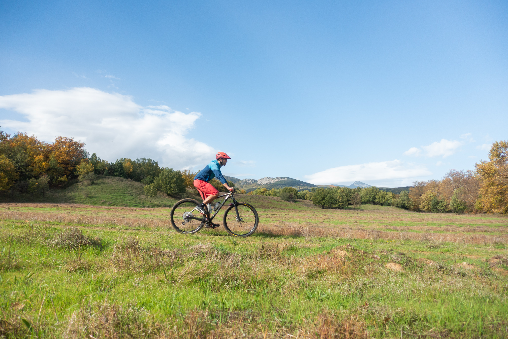
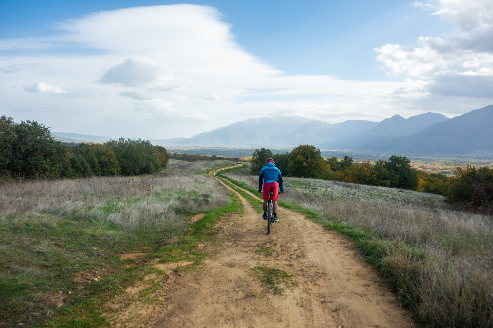
A short but steep paved climb follows, leading to the highest point of the route, at an altitude of approximately 600 metres. From here begins one of its most beautiful sections: a delightful 7 km descent along an almost forgotten dirt road winding through a magnificent, dense oak forest. Every now and then, the thick vegetation gives way to clearings that offer panoramic views of the northern slopes of Mount Parnassus and the plain of Tithorea.
The route then follows another easy dirt road until it meets the Apostolias stream once again. From there, a climb leads towards the village of the same name, through a beautiful landscape of fields and woodland. The final section follows a paved downhill road back to Kastellia, where the loop comes to an end.
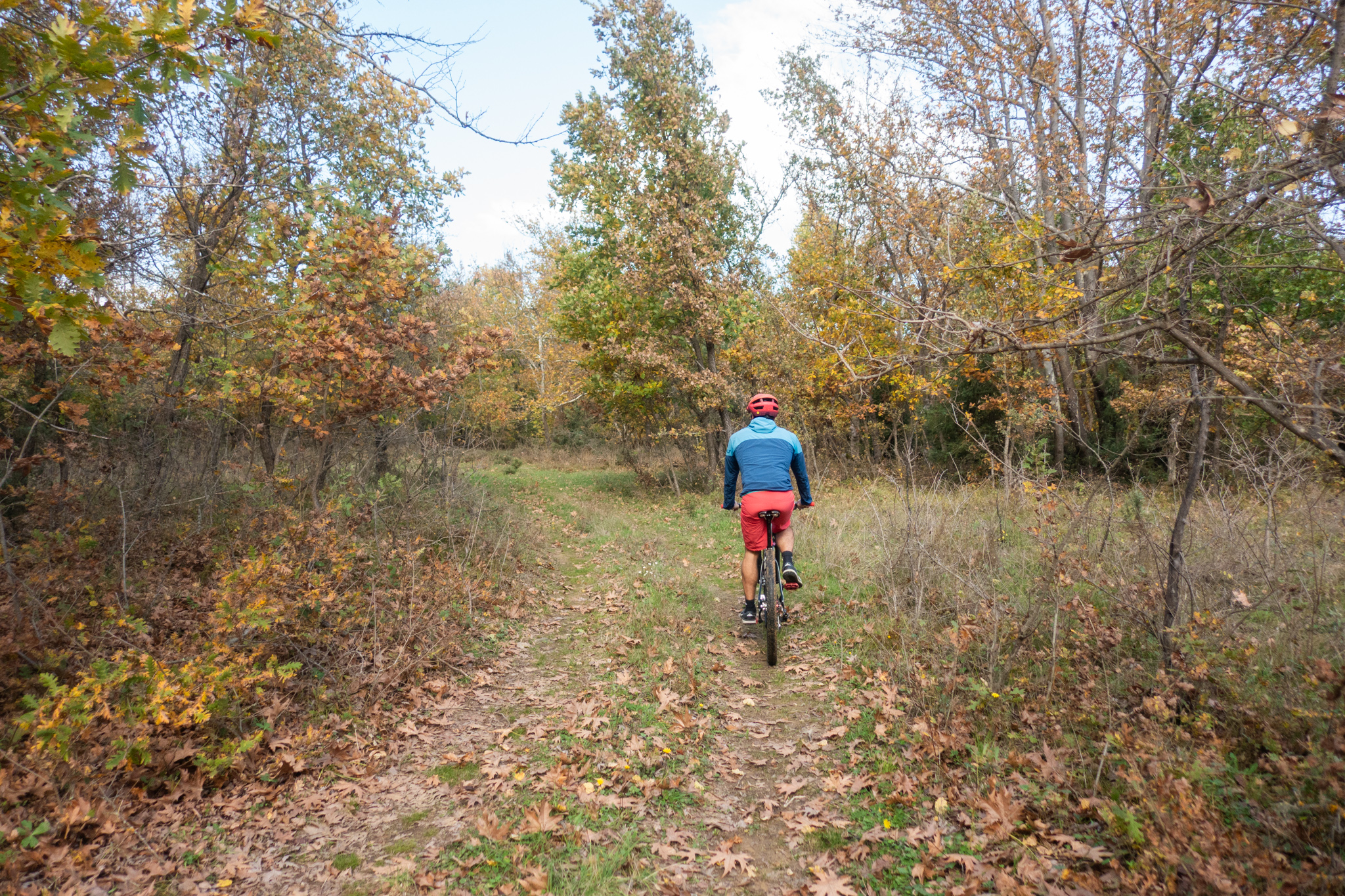
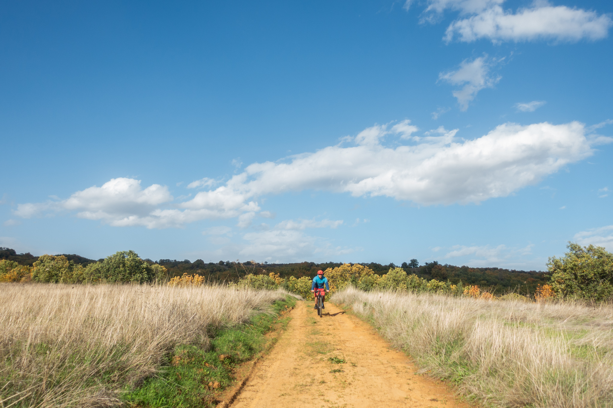
Overall, the route forms two loops that meet at the Apostolias stream, offering the option of completing just one of them and significantly reducing the total distance. Most of the dirt roads are smooth and easy to ride, with no major technical challenges, making the route suitable even for cyclists with limited off-road experience. However, the climbs do require a basic level of physical fitness.
20.7 km.
ROAD
DIRTROAD
BAD DIRTROAD
PATH
20.7 km.
ROAD
DIRTROAD
BAD DIRTROAD
PATH
ROAD
BAD DIRTROAD
DIRTROAD
PATH
GALLERY
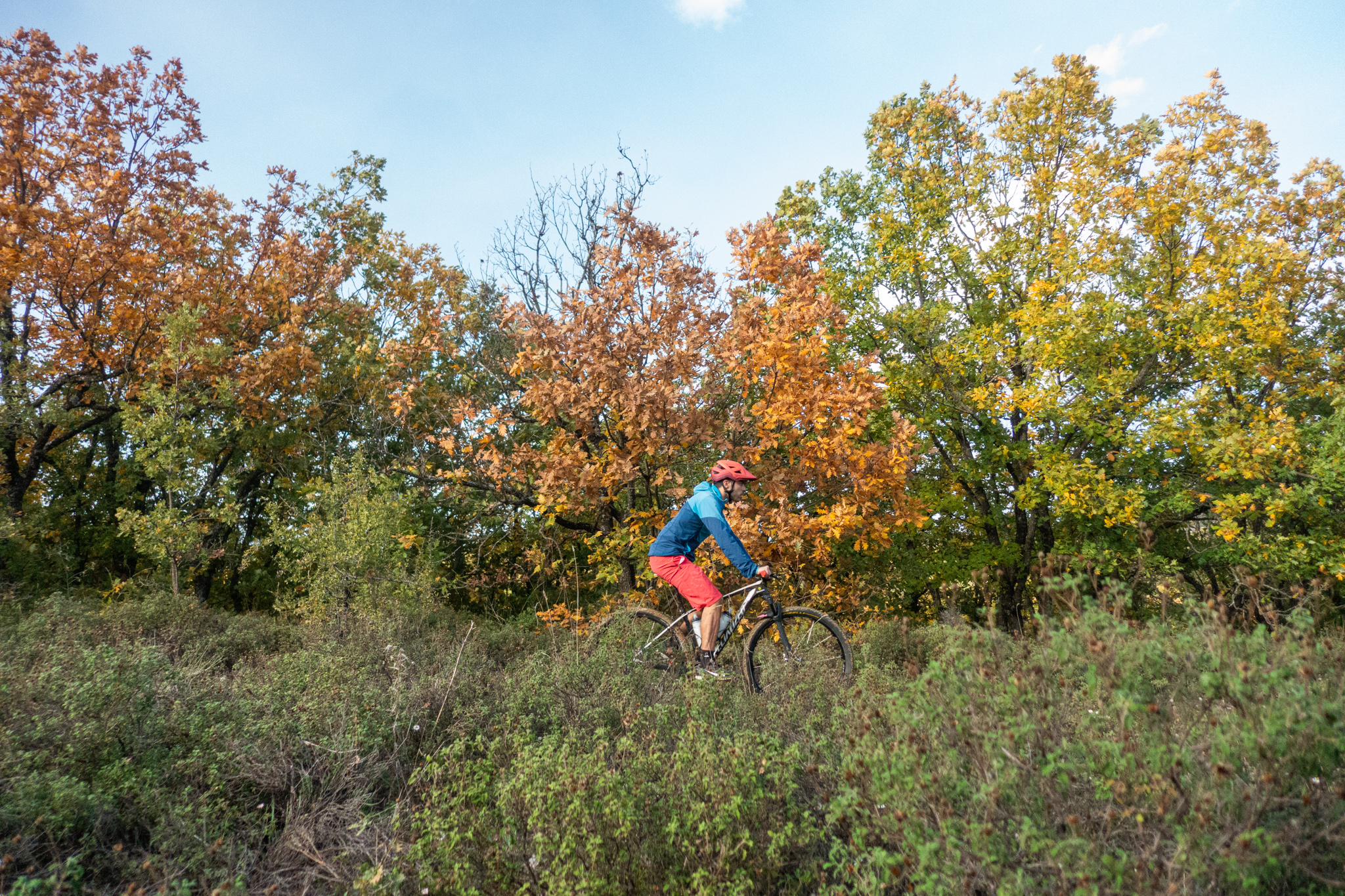
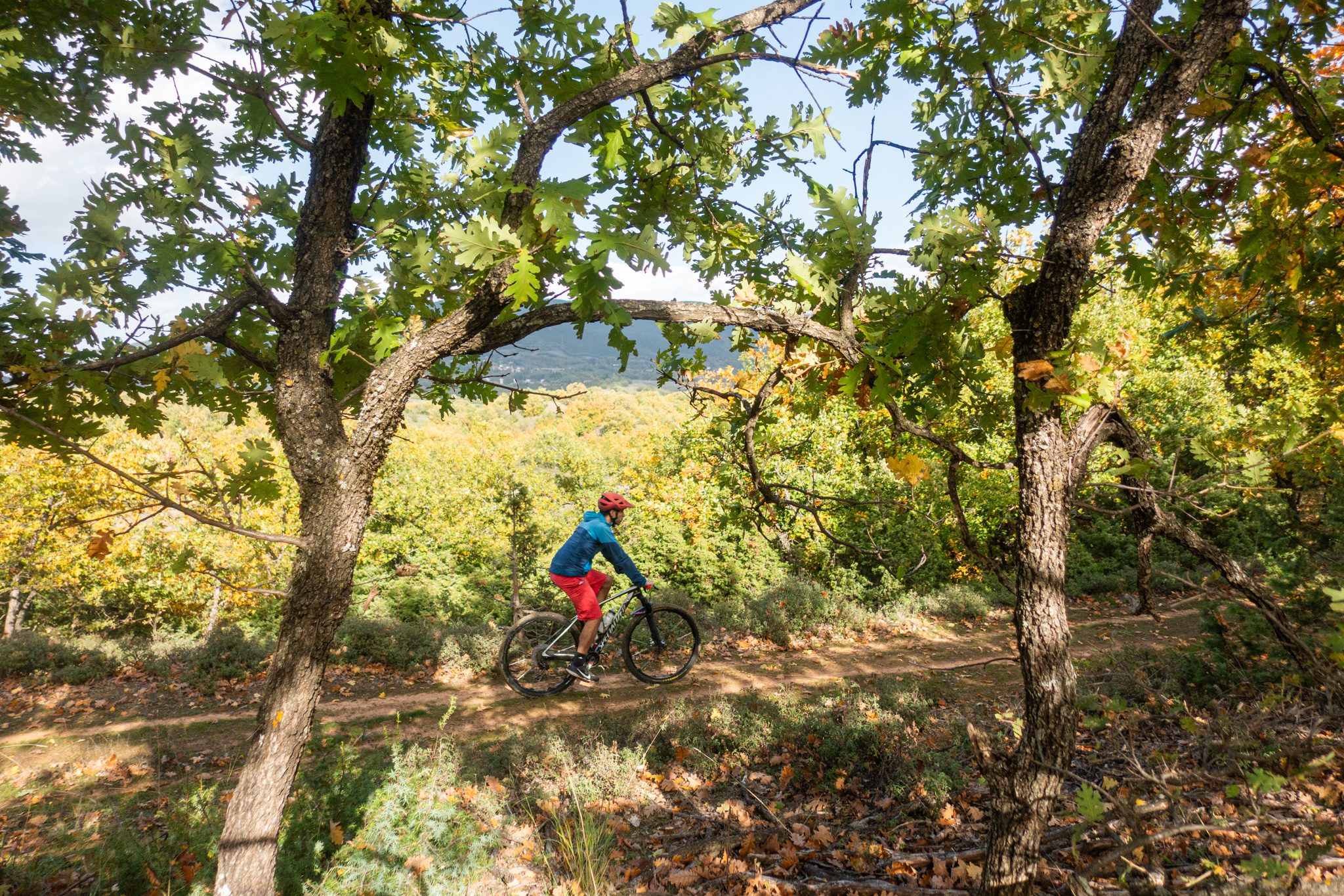
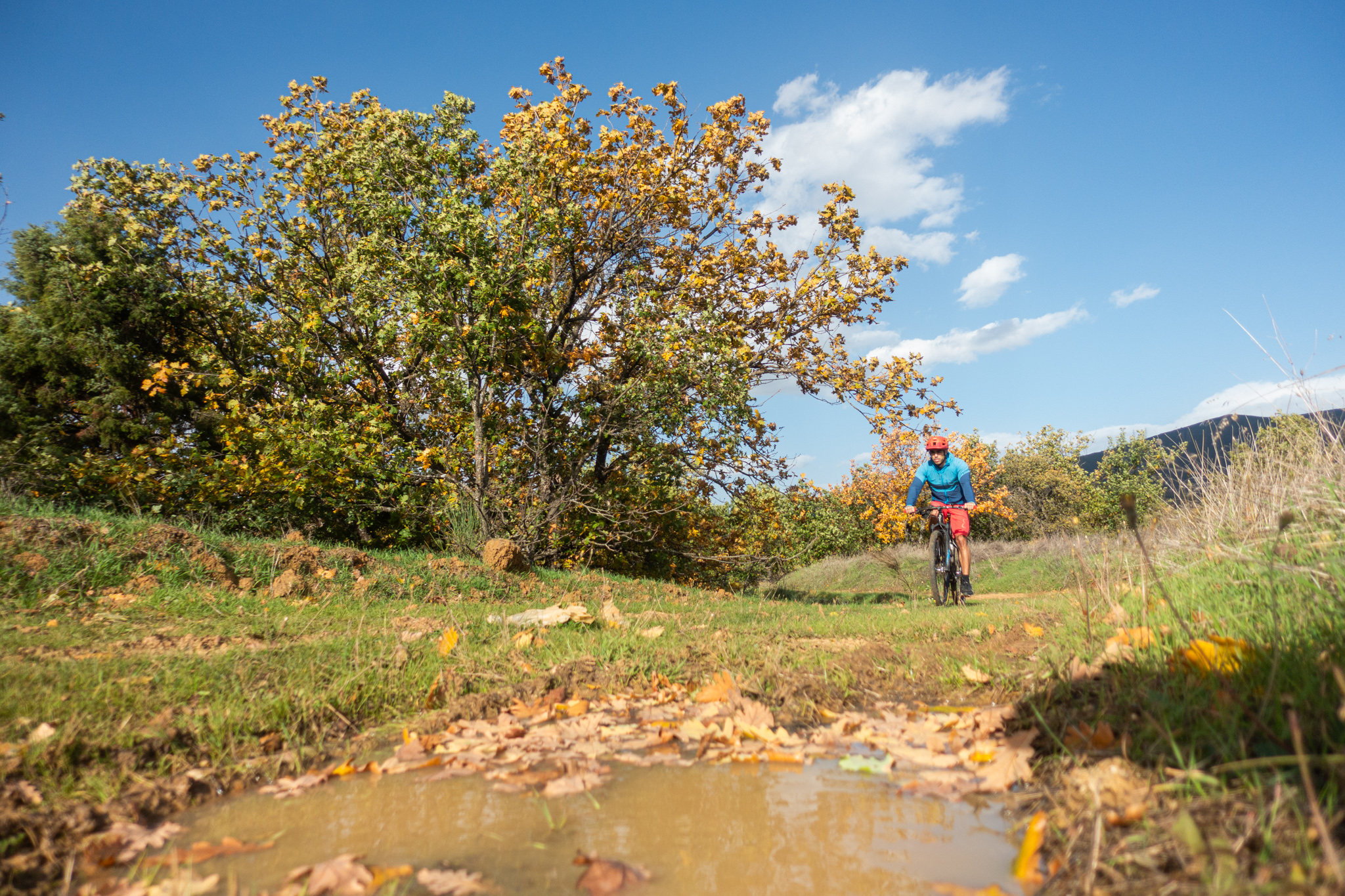
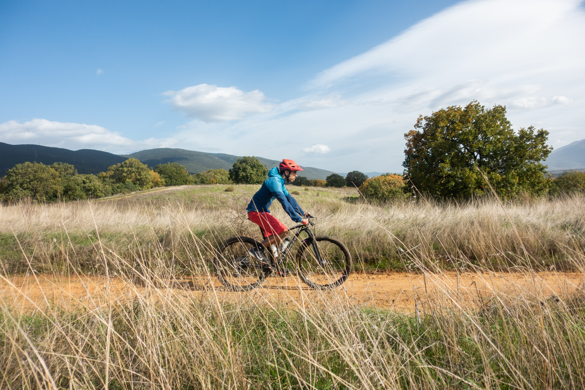
- WATER & FOOD
There are no drinking water refill points along the route, except in the two villages. It is therefore essential to carry an adequate supply of water, depending on the season and prevailing weather conditions.
If the beauty of the oak forest alone is not enough to tempt you to visit the area, there is another equally compelling reason: Miranda Taverna in Kastellia. One of the finest traditional tavernas in the whole of Roumeli (Central Greece), it serves excellent grilled meats, delicious home-cooked dishes and authentic local specialities, making it the perfect way to round off a cycling adventure. And perhaps, after all, one of the best reasons to come back and ride the route all over again!
ROAD BOOK
| Distance between points | Total distance | Description | |
|---|---|---|---|
| 0 | 0 |  |
Starting point: The centre of Kastellia village. We set off towards Apostolias. |
| 1.0 | 1.0 |  |
After leaving the village, take the first dirt road, bearing diagonally right. |
| 0.2 | 1.2 |  |
A little further on, at the fork, keep right. |
| 2.6 | 3.8 |  |
Ignore all minor dirt roads. Just before reaching the stream, turn right. |
| 0.2 | 4.0 |  |
Immediately after crossing the stream, turn left and follow the road alongside it. |
| 1.7 | 5.7 |  |
At the end of the road, turn right onto the paved road. |
| 1.8 | 7.5 | |
At the top of the climb, turn right onto the main paved road. |
| 0.4 | 7.9 |  |
At the first dirt road, make a sharp right turn, doubling back diagonally. |
| 1.1 | 9.0 | |
At the first fork, keep right. |
| 1.4 | 10.4 |  |
At the dirt road junction, turn left. |
| 2.8 | 13.2 | |
At the end of the road, turn right onto the main paved road. |
| 0.1 | 13.1 | |
Immediately afterwards, turn right onto the first dirt road. |
| 2.3 | 15.4 | |
At the fork, keep left towards the stream. |
| 0.4 | 15.8 | |
After crossing the stream, make a sharp right turn. |
| 2.1 | 17.9 | |
Just before reaching the village, at the fork, keep left uphill. |
| 0.2 | 18.1 | |
After the church, at the fork, keep left. |
| 0.1 | 18.2 |  |
At the village’s main road, turn left and continue back to the starting point. |