
ARTEMISIO
KILOMETERS
DURATION
ELEVATION
PROPOSED SEASON
DIFFICULTY
PHYSICAL CONDITION
TECHNICAL DIFFICULTY
STARTING POINT
Author:
A. Leontaritis
Photos:
A. Leontaritis - G. Koutrotsios
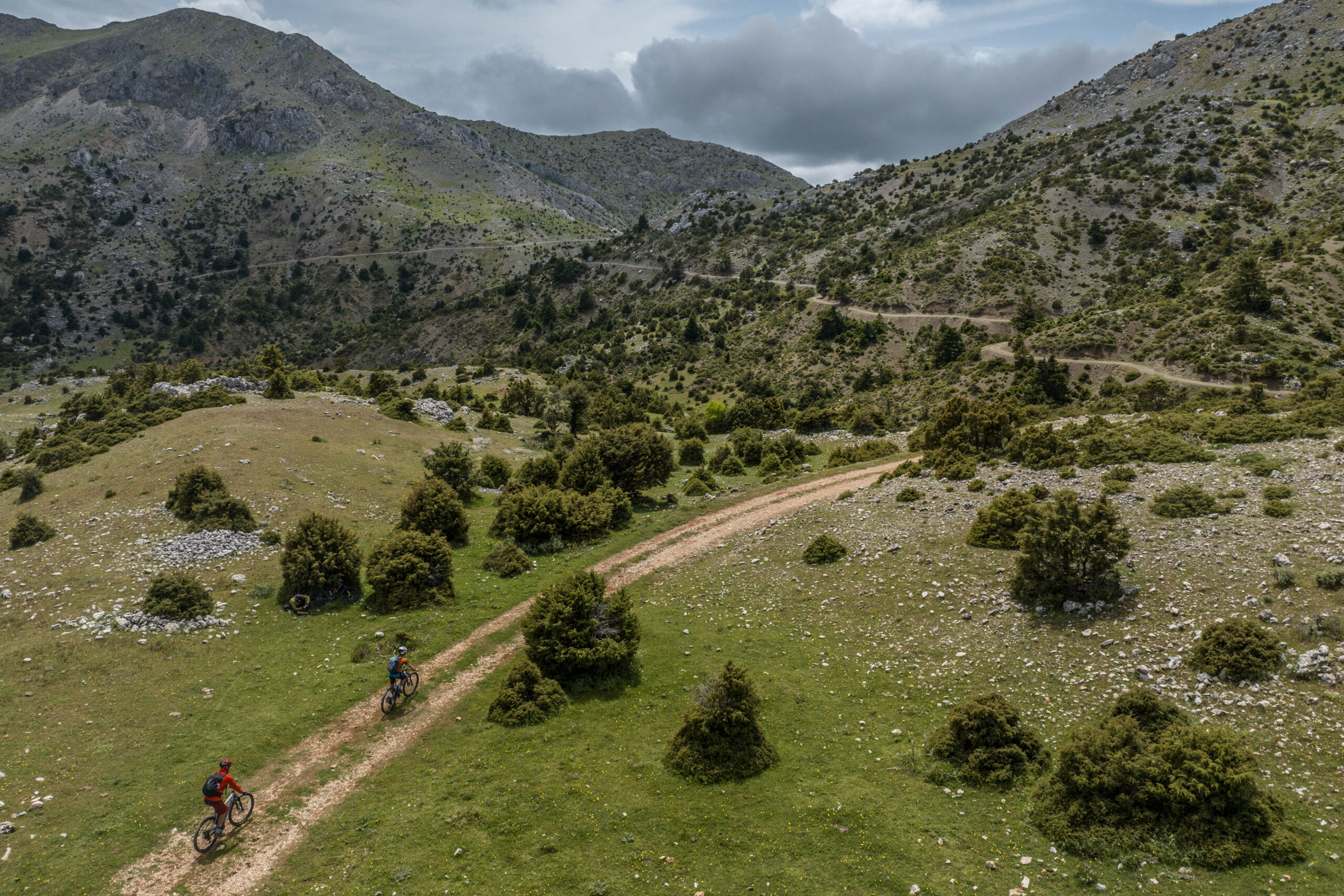
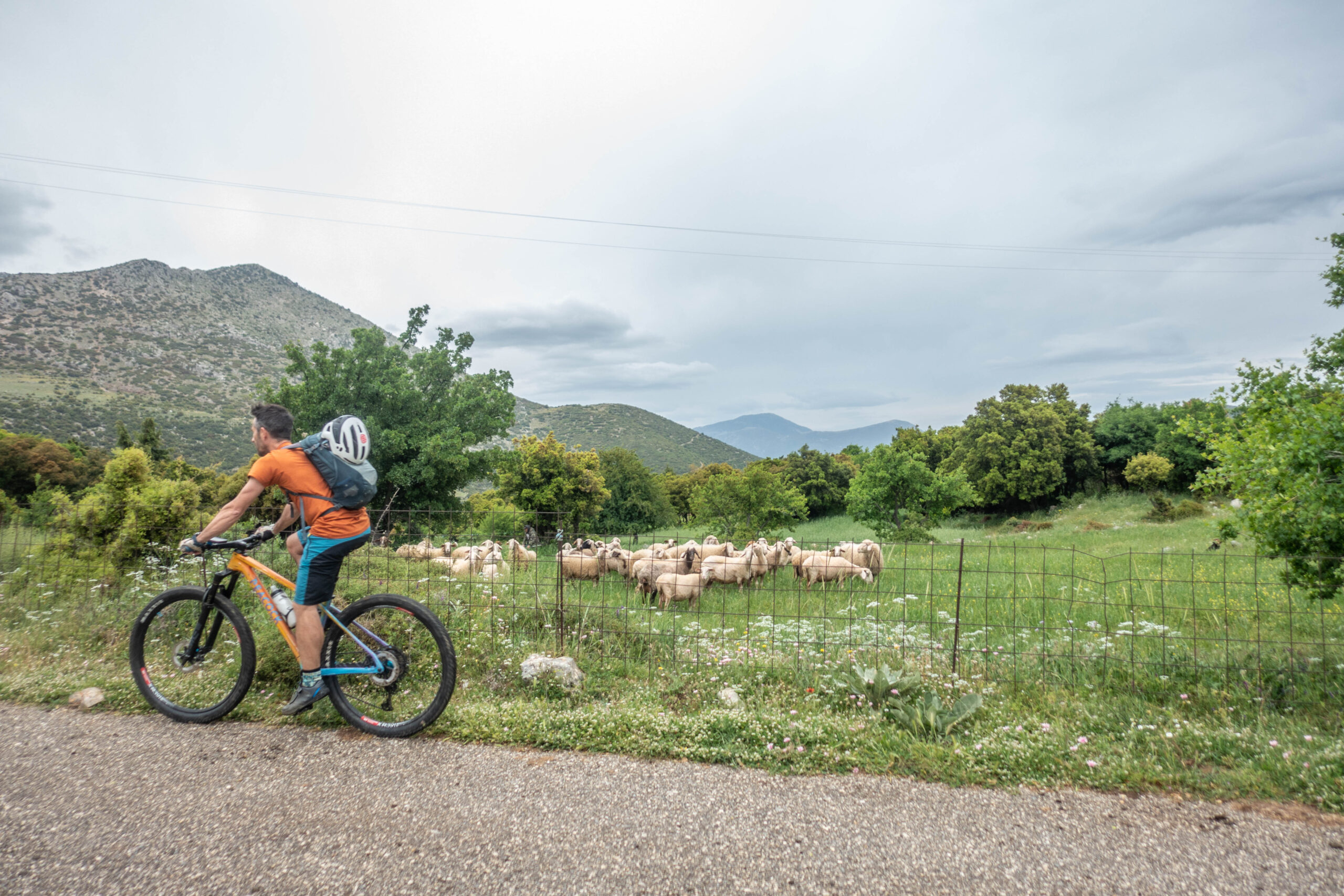
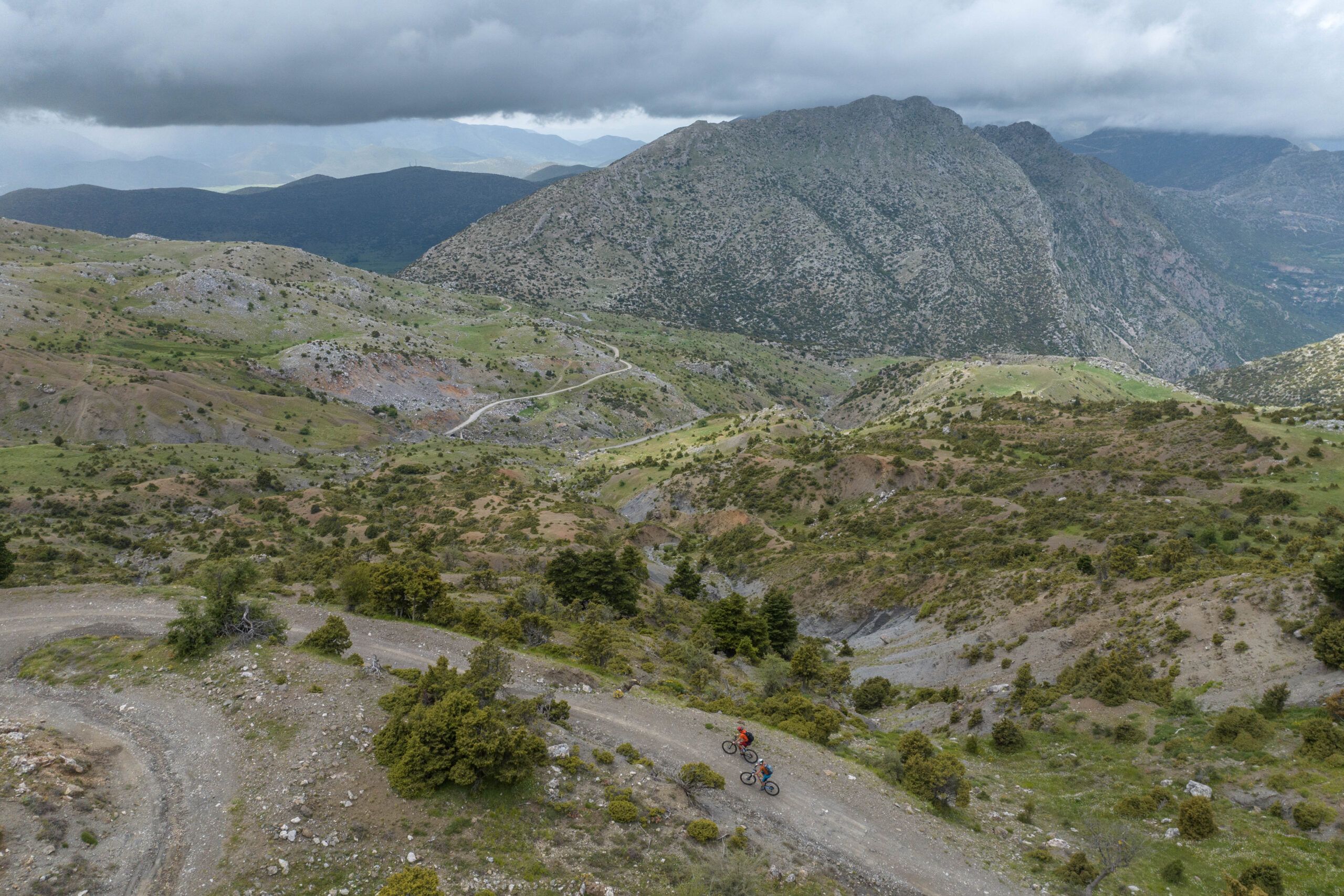
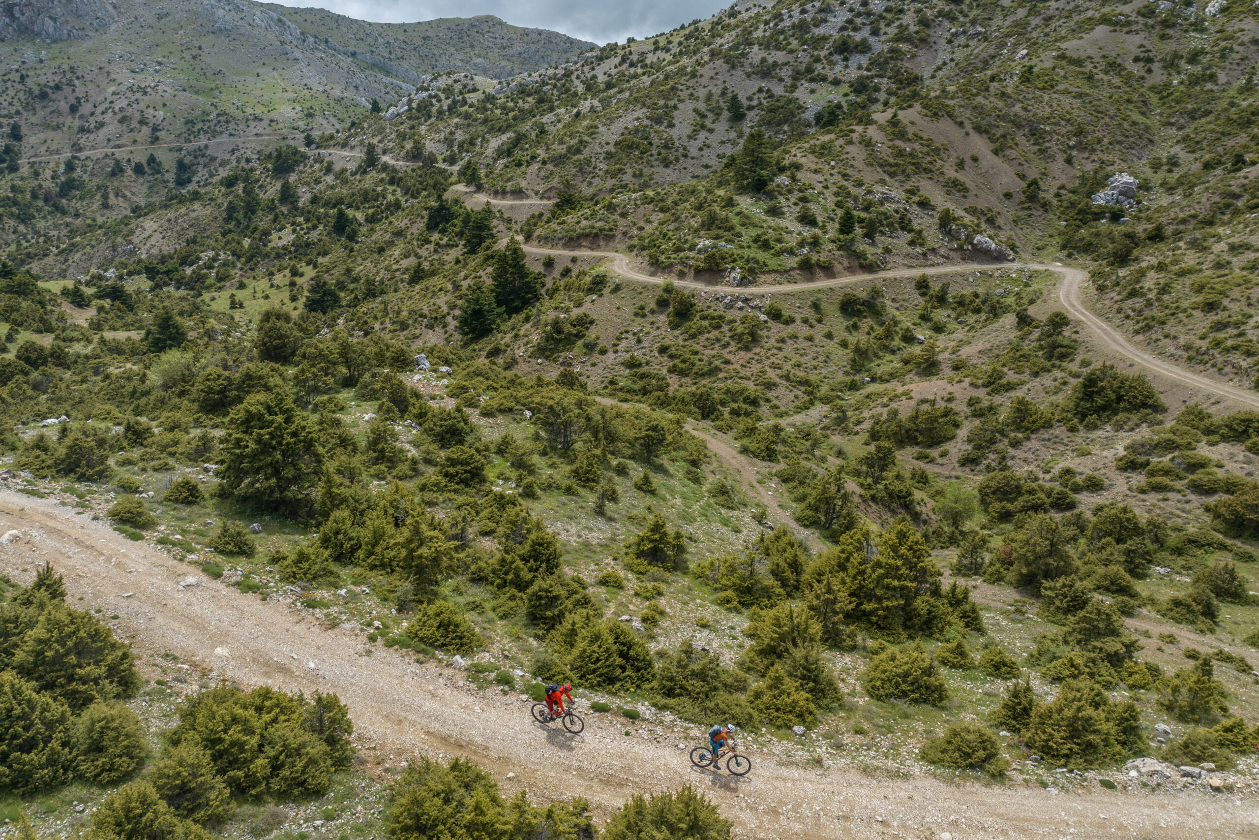
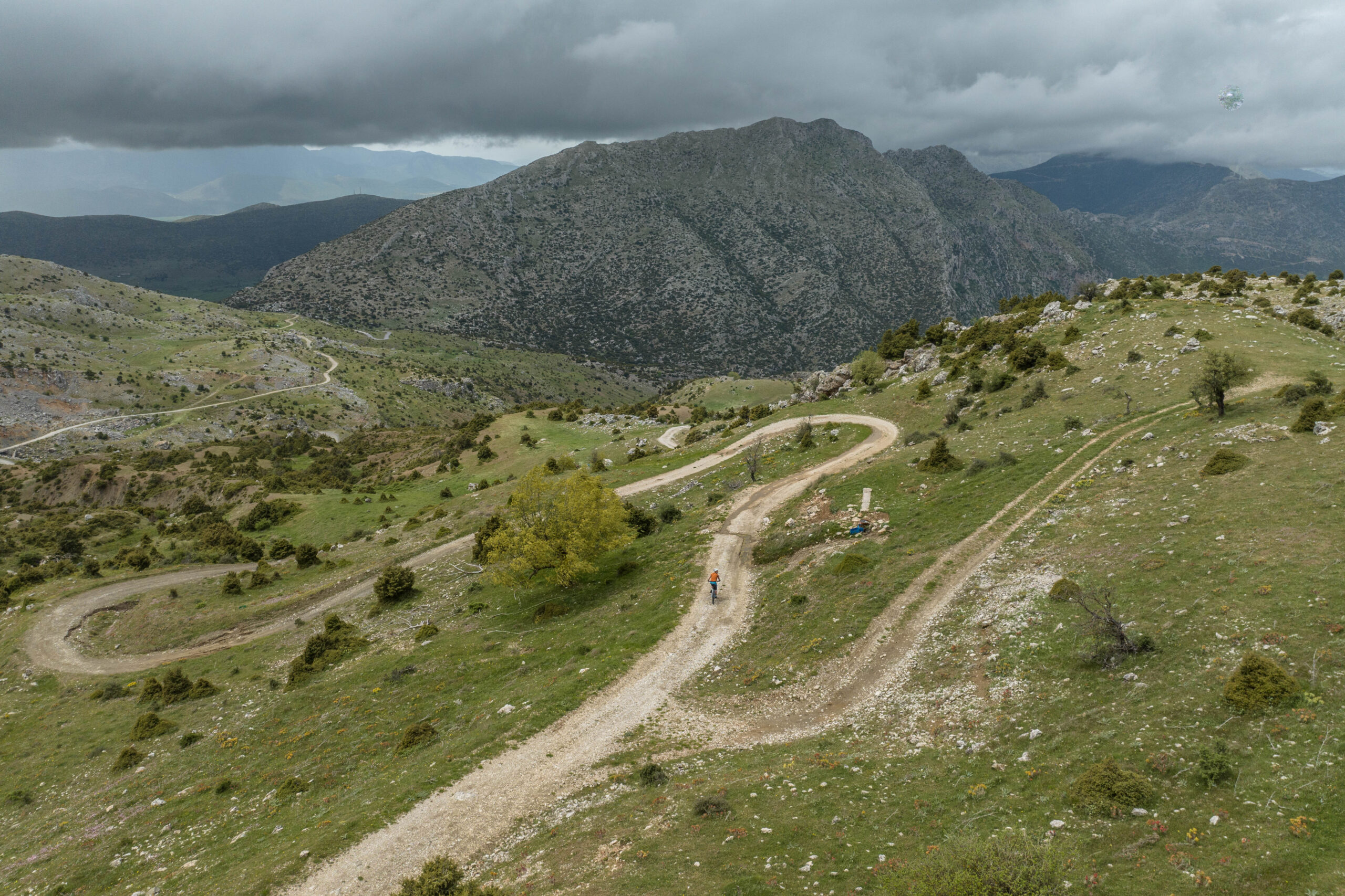
This is a truly beautiful mountain ride—one of those hidden surprises that the lesser-known corners of the Peloponnese so often deliver. Though relatively short in distance, it’s a moderately demanding route with no technical challenges, rewarding every hard-earned pedal stroke on the steep climbs with breathtaking scenery and constant variety. Circling Mount Artemisio, the route unfolds through ever-changing landscapes: dense fir forests, alpine meadows, forgotten chapels, pastoral countryside, crystal-clear springs, and dramatic mountain backdrops. It’s a ride that perfectly combines physical effort with the rich natural beauty of Greece’s mountainous heart.
INTRODUCTION
Mount Artemisio, together with nearby Mount Ktenias, Lyrkeio, Trachy, and Oligyrtos, forms part of the great limestone mountain chain stretching from Argos to western Corinthia, marking the northeastern boundaries of Arcadia. Artemisio takes its name from the goddess Artemis, whose worship was deeply rooted in this mountain since antiquity.
The ancient traveler Pausanias refers to the sacred significance of the area, noting the presence of shrines and statues dedicated to Artemis:
“Beyond this lies Oinoe, territory of the Argives; above Oinoe rises Mount Artemision, and on its summit stands a sanctuary of Artemis. Within this mountain are also the springs of the Inachos.”
Today, no visible remains of the ancient sanctuary survive on the summit itself. However, the route passes by the historic Monastery of Panagia Karya, where a cruciform church now stands, replacing an earlier 14th-century Byzantine church that was built atop the ruins of an ancient sanctuary of Artemis.
Above the monastery, perched on a rocky hill, stands the Castle of Karya—known locally as “Kastraki” or the “Venetian Castle.” Its exact history remains partly obscure, but traces of construction from antiquity through Byzantine, late Byzantine, and early Venetian periods are still visible. The site likely began as an ancient beacon tower before evolving into a fortified stronghold. While the Venetians were not typically known for constructing remote mountain fortresses, historical evidence suggests that the local name may indeed reflect reality, dating back to Venice’s control of the region in the late 14th century.
Nearby Mount Lyrkeio is also home to the springs of the Inachos River, which in antiquity supplied water to Argos and flowed around its city walls. Mythology surrounds the river as well: Inachos was said to be the father of Io, whose tragic tale intertwined her fate with Zeus and helped shape the river’s legendary name.
ROUTE DESCRIPTION
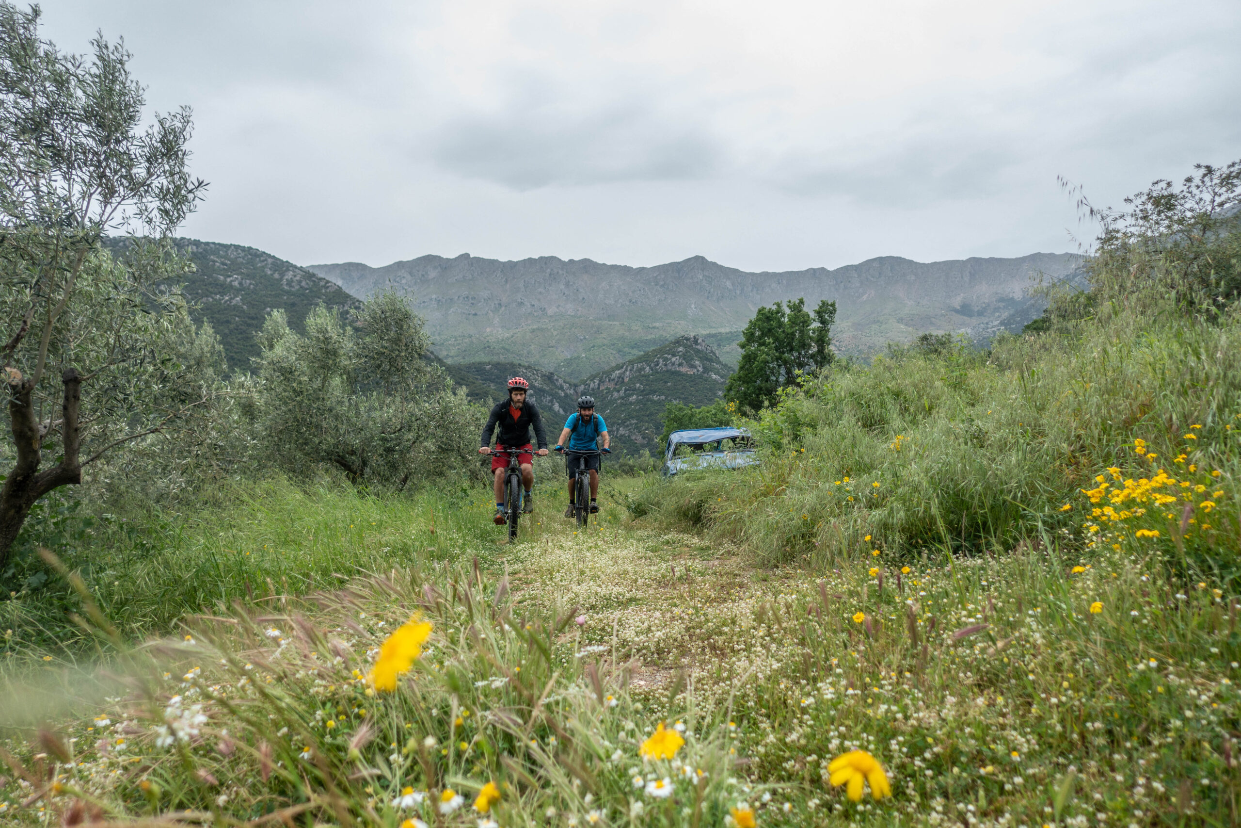
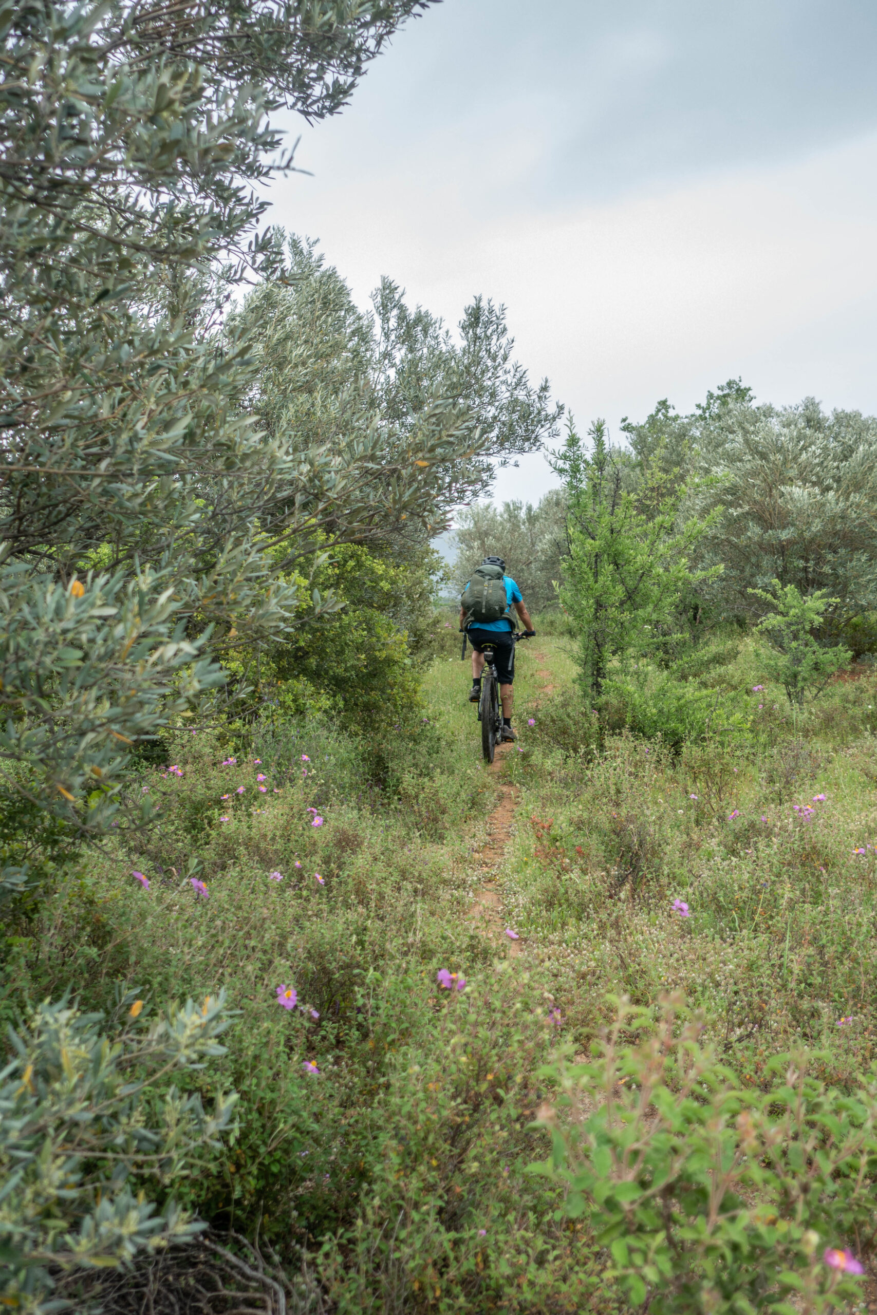
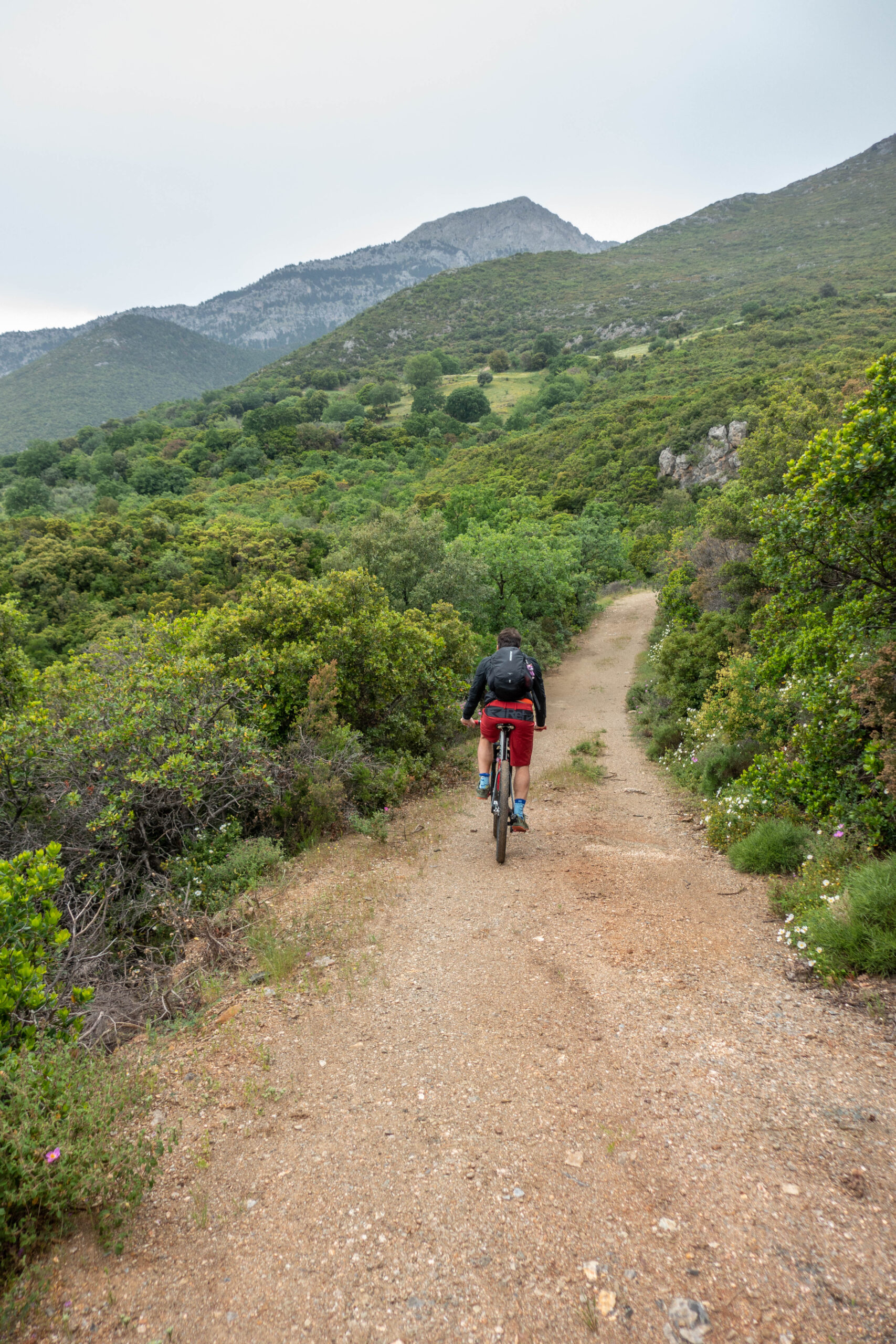
Starting from the rural settlement of Merkouri (350m elevation), nestled at the foothills of Artemisio, the route begins with a steady climb on reasonably good dirt roads through scrubland and scattered olive groves, gradually ascending toward the small village of Aria (also known as Mazi, 650m).
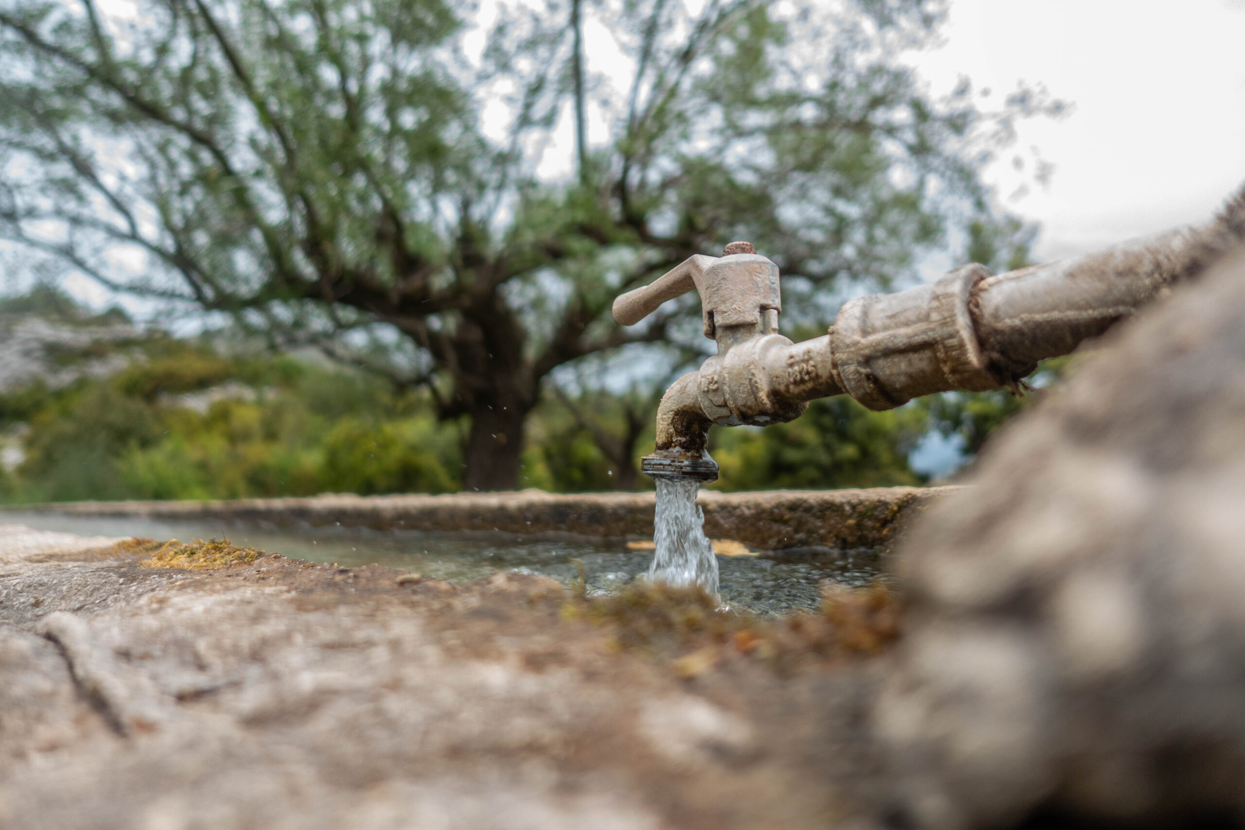
From there, a relaxing gravel road—once paved—leads easily toward Karya (700m), a worthwhile optional detour before tackling the steeper asphalt climb to the chapel of Panagia Artemisia (950m). This peaceful mountain refuge offers fresh spring water, shelter, and a perfect resting point before the ascent continues toward the lush fir-covered saddle between Karya and Nestani at 1,200m.
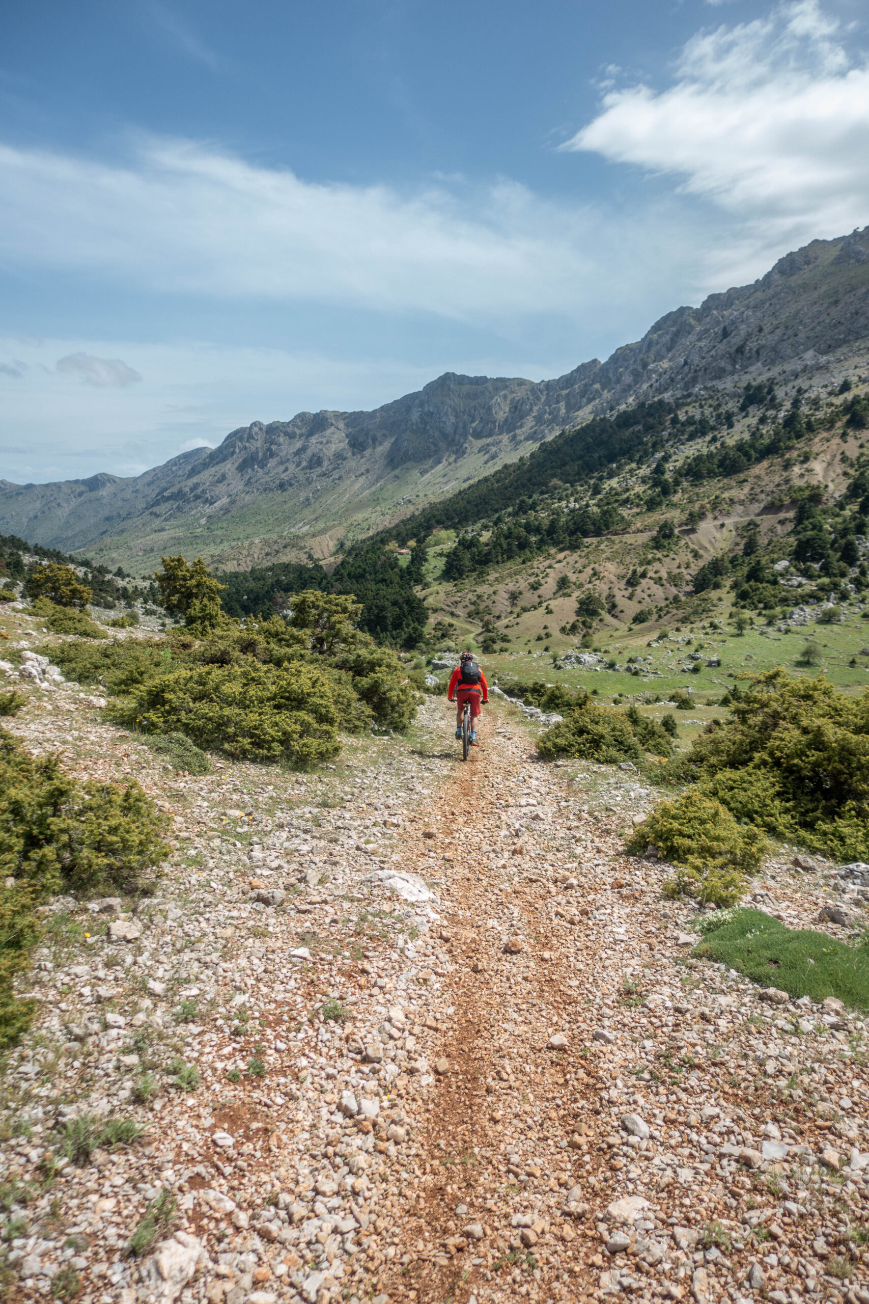
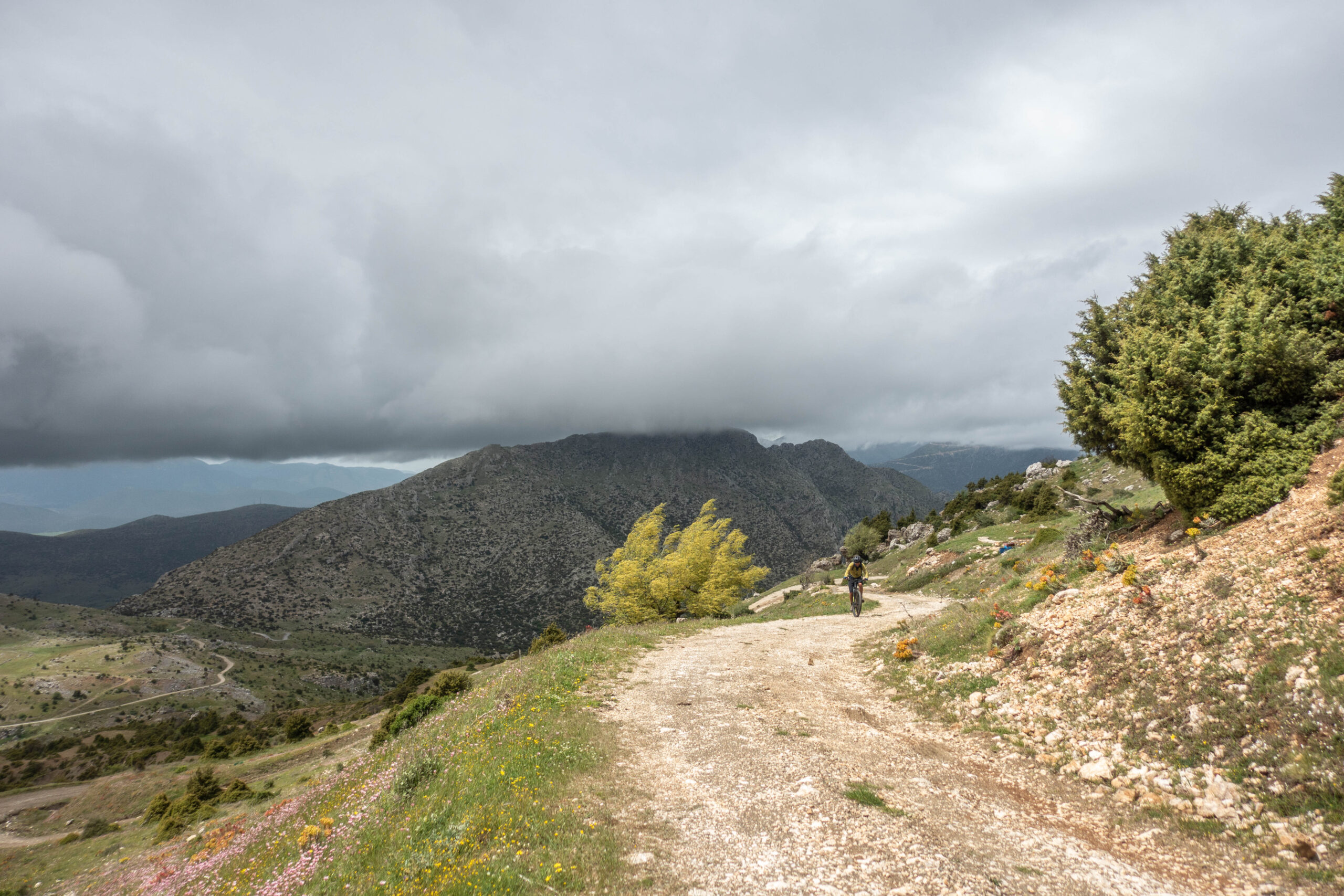
At this point, a quality mountain dirt road leads to the spring known as Athanato Nero (“Immortal Water”)—a name fully deserving of its reputation. With Mount Artemisio towering directly above, this marks the practical end of the main climb at around 1,350m elevation. A stop here is essential: cool water, deep breaths, and sweeping views of Mounts Lyrkeio and Trachy to the northwest, with Mainalo rising proudly to the west.
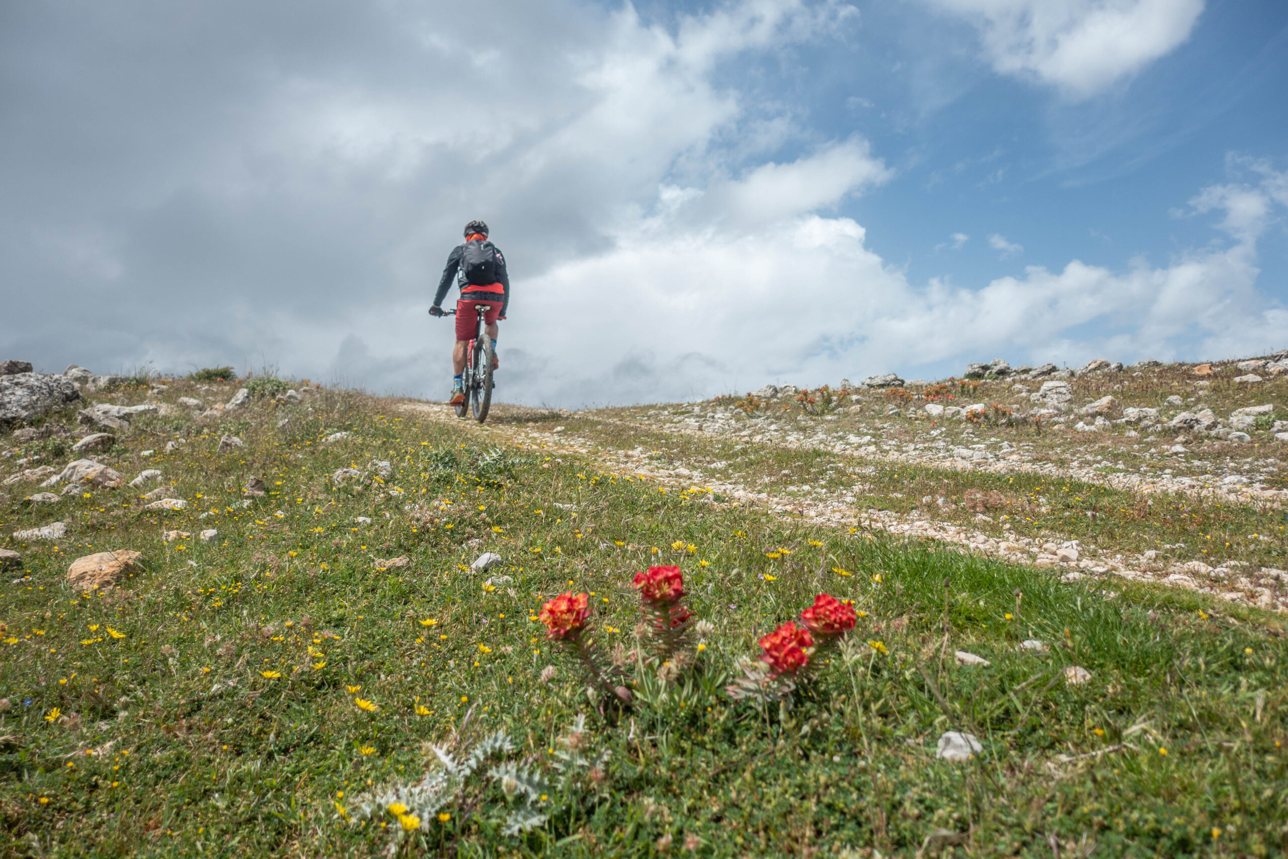
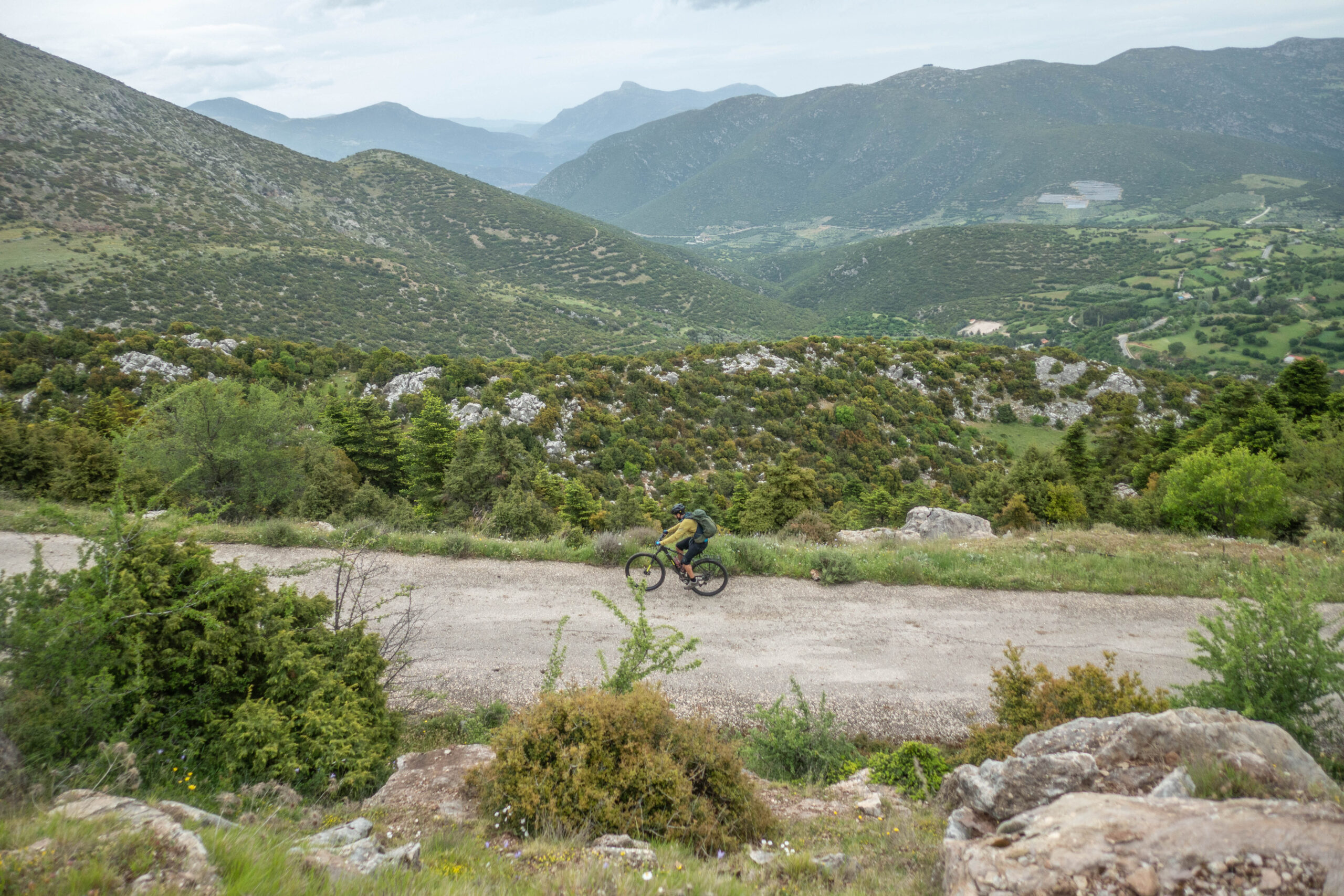
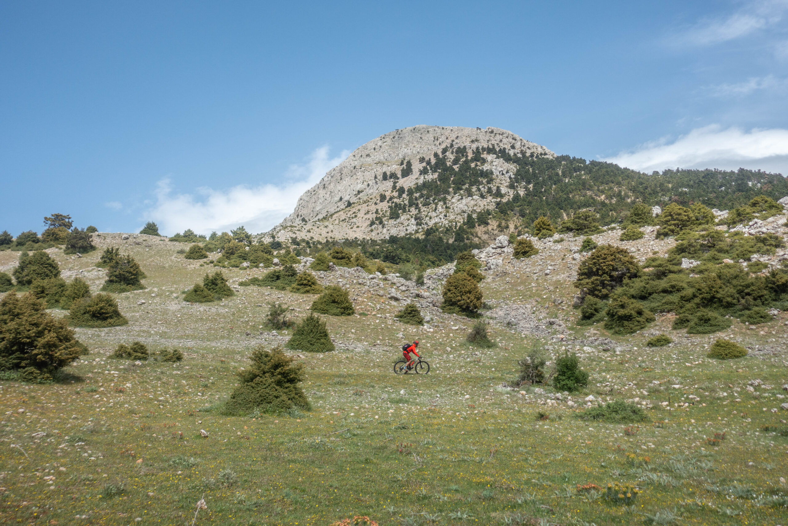
Soon after, the route turns downhill and enters its most enjoyable section. Stunning mountain meadows framed by fir forests, with the imposing ridgeline of Mount Ktenias dominating the horizon, create a landscape that briefly feels more like the Southern Pindus than the Peloponnese. Riders are treated to a mostly rideable singletrack section through this spectacular alpine scenery before rejoining dirt roads that descend smoothly to the nearly abandoned hamlet of Tourniki (920m), where a charming shaded square and another fresh spring offer a final peaceful pause.
The ride concludes with a satisfying descent of nearly 600 vertical meters back to the starting point, following dirt roads through a small yet striking gorge—an unforgettable finale to one of the Peloponnese’s finest hidden MTB adventures.
28.0 km.
ROAD
DIRTROAD
BAD DIRTROAD
PATH
28.0 km.
ROAD
DIRTROAD
BAD DIRTROAD
PATH
ROAD
BAD DIRTROAD
DIRTROAD
PATH
GALLERY
ROAD BOOK
| Distance between points | Total distance | Description | |
|---|---|---|---|
| 0.0 | 0.0 |  |
Start at Agia Irini Church in the center of Merkouri village, Argolida. Begin by climbing west on the main road. |
| 0.7 | 0.7 |  |
At the first fork, turn right (straight continues toward Agios Kalogeros). |
| 0.4 | 1.1 |  |
At the next fork, turn left. |
| 0.6 | 1.7 |  |
At the next road, turn diagonally left back uphill. |
| 0.4 | 2.1 |  |
At the next road, turn right. |
| 0.1 | 2.2 |  |
At the top of the climb, turn left onto a trail (for a few meters, you’ll need to push your bike uphill). |
| 0.2 | 2.4 | |
At the end of the trail, turn right onto a dirt road. |
| 0.5 | 2.9 |  |
At the end of the road, turn left. |
| 0.4 | 3.3 | |
At the end of the dirt road, turn left uphill onto a concrete road. |
| 0.2 | 3.5 | |
Inside Aria village, turn left at the fork toward Karya. |
| 0.2 | 3.7 |  |
At the exit of Aria village, continue straight (right) onto the paved road. |
| 3.1 | 6.8 | |
On the main paved road, turn left toward Karya. |
| 0.5 | 7.3 | |
Just before entering Karya village (20m before the basketball court), turn left uphill onto a secondary paved road. |
| 6.6 | 13.9 | |
At the top of the climb, turn sharply left onto a secondary dirt road toward Tourniki. |
| 3.1 | 17.0 | |
After exactly 3.1 km (at a left hairpin turn), turn left onto a visible trail. |
| 1.6 | 18.6 | |
At the end of the trail, turn left onto a dirt road. |
| 1.4 | 20.0 |  |
Ignore the road diagonally left back, which leads to the chapel. |
| 0.3 | 20.3 | |
Ignore a second road diagonally left back. |
| 1.6 | 21.9 | |
At the entrance of Tourniki village, turn diagonally left back. |
| 4.8 | 26.7 | |
At the end of the steep descent, turn left onto a concrete road, returning to the starting point. |