
NORTHEASTERN LEMNOS
KILOMETERS
DURATION
ELEVATION
PROPOSED SEASON
DIFFICULTY
PHYSICAL CONDITION
TECHNICAL DIFFICULTY
STARTING POINT
Author:
G. Koutrotsios
Photos:
Koutrotsios - Rigopoulos - Karalaios
The Wetlands of Lemnos
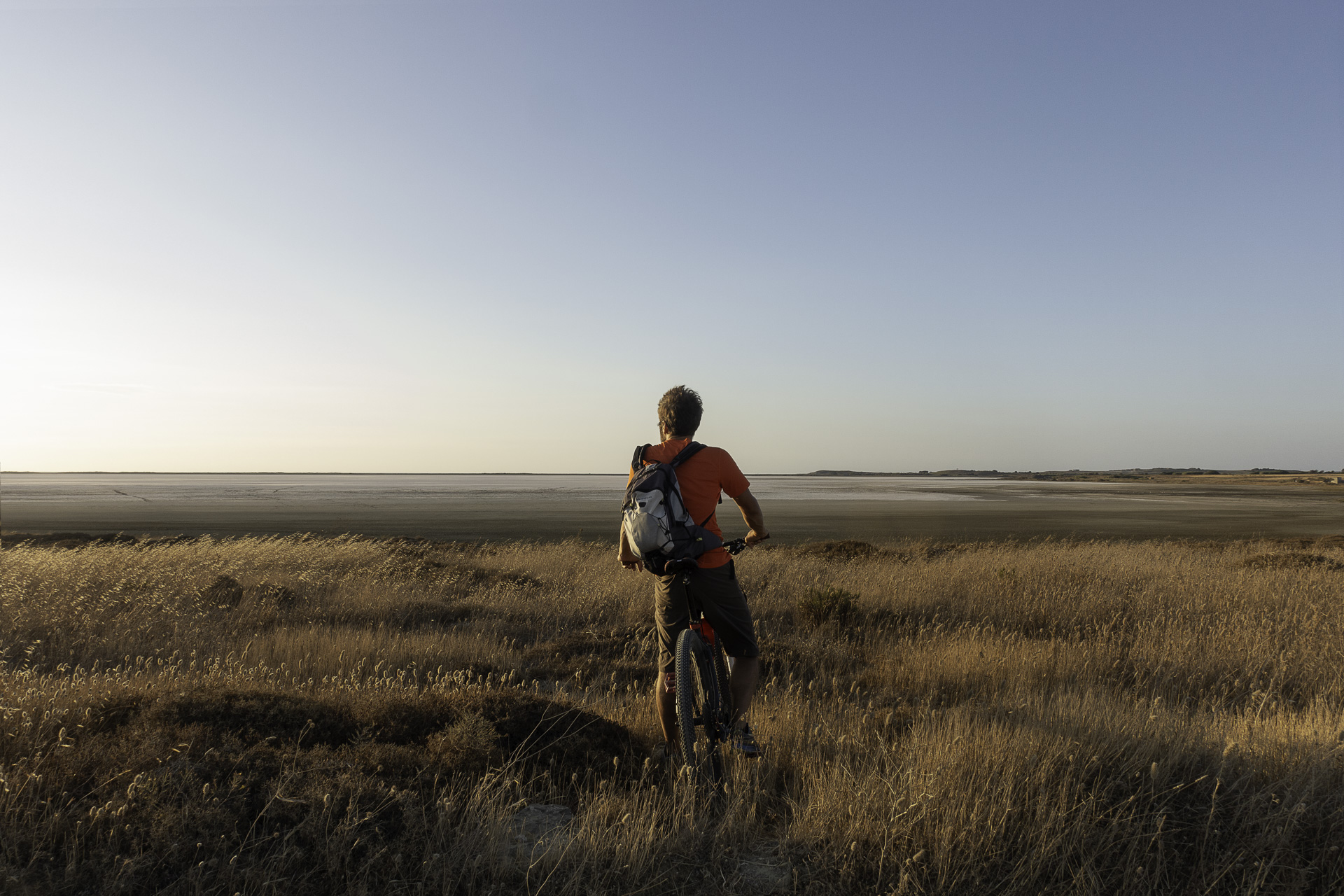
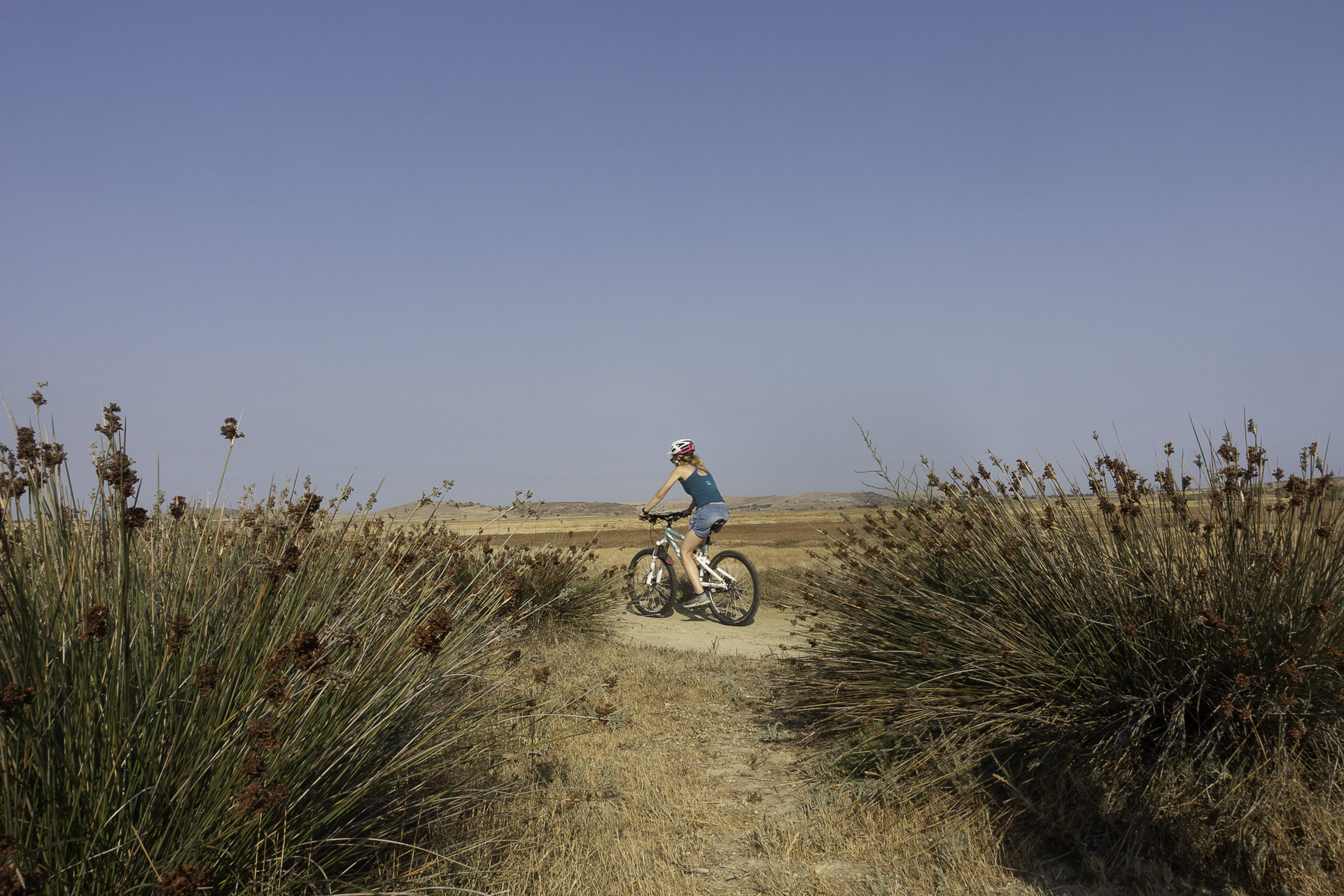
The proposed cycling route combines beautiful hills, picturesque plains, and wetlands of great ecological importance, allowing visitors to enjoy the serenity of the landscape and explore the unique natural beauty of Lemnos. If you love nature, birdwatching, and cycling, this ride will be unforgettable!
INTRODUCTION
Lemnos is a true cycling paradise in the Aegean. The island’s vast size, combined with its gentle terrain, many villages, and extensive network of dirt roads crisscrossing its land, make it a unique canvas for designing cycling routes. The beautiful and peaceful northeastern part of the island, from Kontopouli to Plaka, offers stunning landscapes and rich wetlands that host rare species of flora and fauna.
Three large seasonal lakes dominate the area—Alyki, Chortarolimni, and Asprolimni—forming a valuable ecosystem that attracts thousands of migratory birds, including flamingos, swans, herons, and rock partridges.
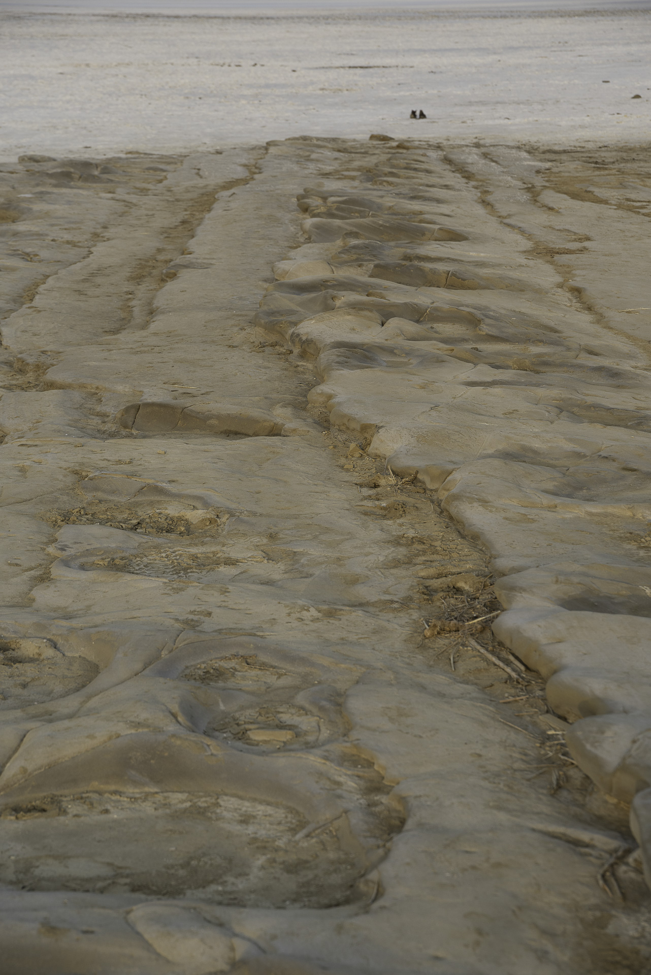
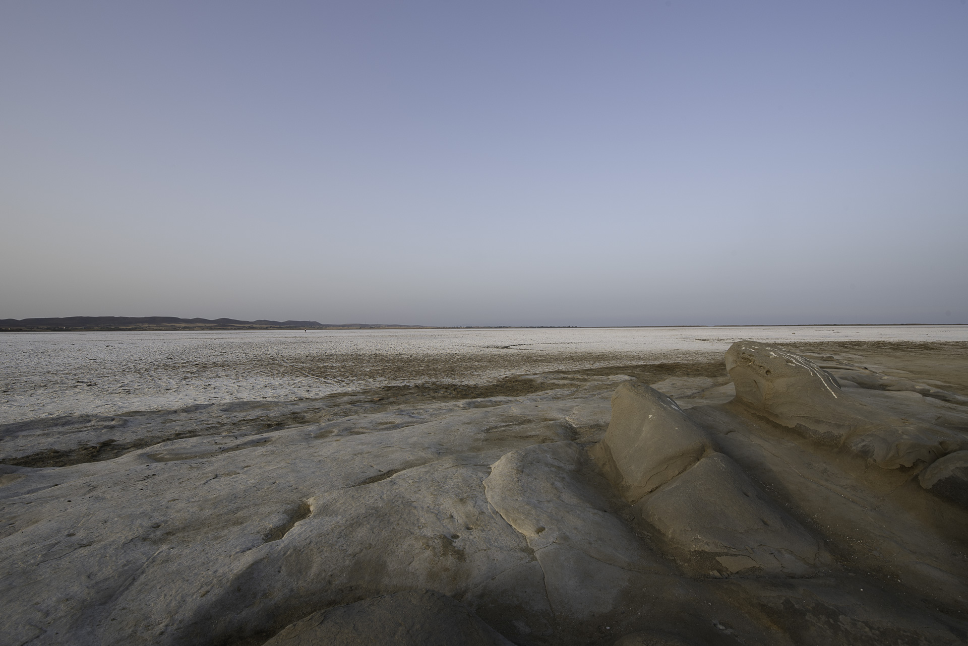
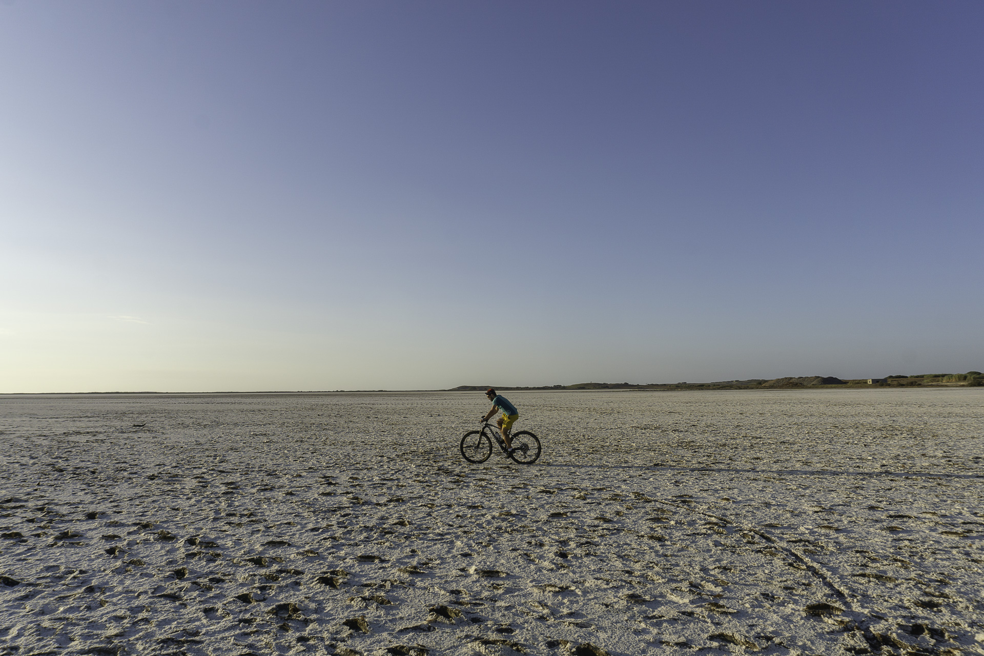
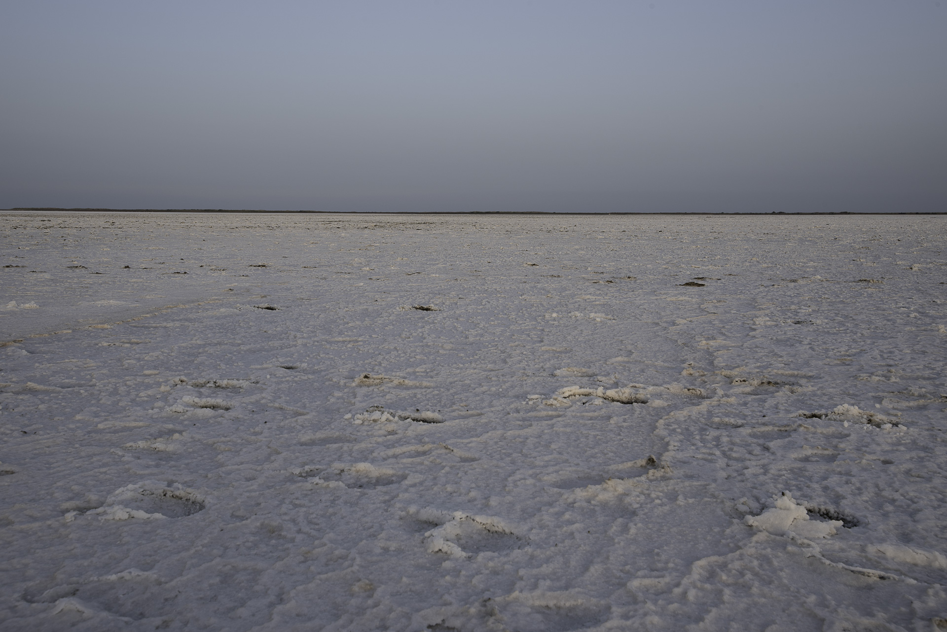
Alyki is the largest salt lake on the island and, especially in winter, offers spectacular images of pink flamingos covering its waters. By late spring, it dries up, forming a vast salt field. It is the only large natural lagoon in Greece with minimal human intervention. In past decades, it was an important source of salt for the island’s inhabitants, used for cooking, preserving food (cheese, meat, fish, vegetables), and tanning hides. During the summer months, caravans of villagers would set out with pack animals to collect salt. To avoid the heat, the work was done by moonlight! Perhaps from such an image, the poet Yannis Ritsos, who was exiled in Kontopouli in 1948, was inspired to write the verse in Lianotragouda of a Bitter Homeland: “Slim girls on the shore gather the salt…”
Alyki was also once a famous hunting ground, especially for wild ducks, until it was designated a Special Protection Zone and hunting was banned. It is worth mentioning that during the German Occupation, the area was mined, and in the post-war years many fishermen were injured or killed attempting to extract dynamite from the mines for fishing.
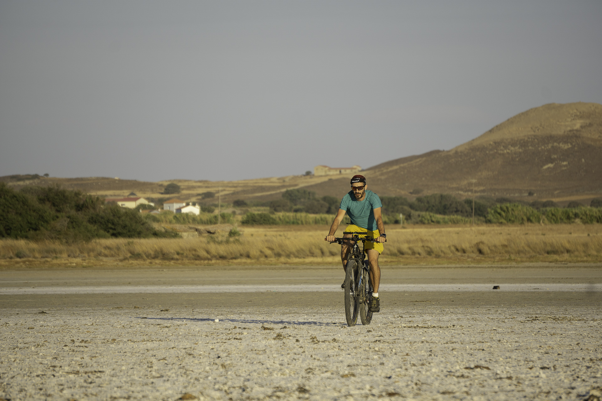
Chortarolimni and Asprolimni, brackish lakes with low salinity, are also important wetlands, ideal for observing rare birds and other animals, and have been included in the Natura 2000 network. Like Alyki, they dry out in summer, allowing pedestrians and cyclists to cross them. The French naturalist and traveler Pierre Belon (1548) and the English clergyman and travel writer Richard Pococke (1739) note that in the vast plain of Chortarolimni grazed small, light-colored ponies—a breed now extinct on Lemnos, surviving only on Skyros. They were incredibly fast, hardy, and the locals rode them.
ROUTE DESCRIPTION
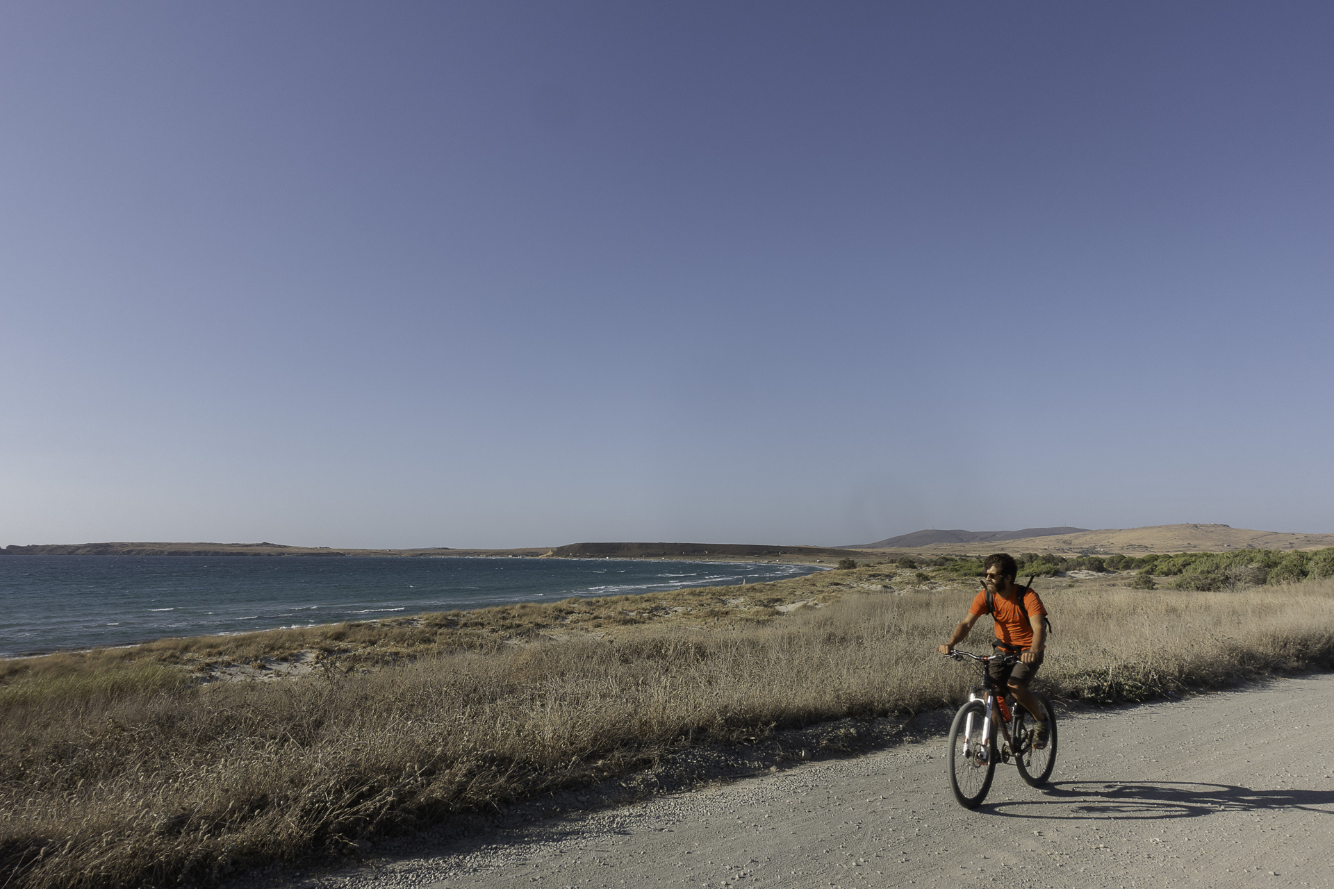
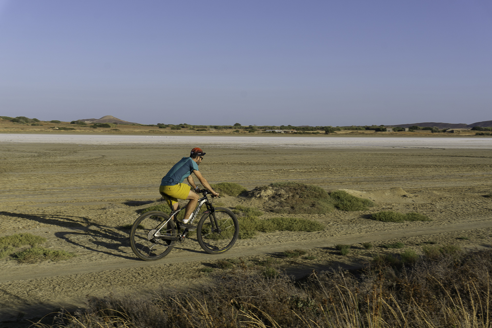
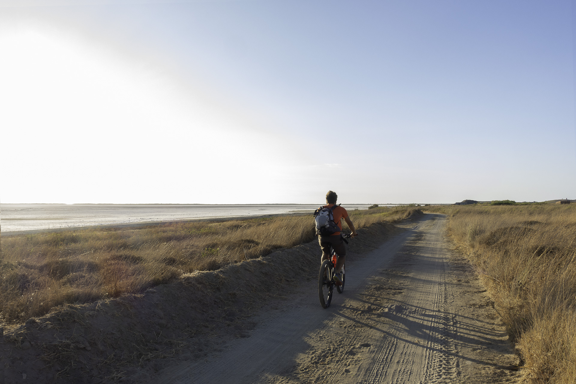
The proposed route runs along the northeastern tip of Lemnos and focuses on introducing visitors to the area’s significant wetlands. Starting from Kontopouli village, the route initially heads east across the plain before descending to the famous Alyki lagoon. For the next 5 km, it follows the western shore, offering unique views of the wetland and passing by two wooden observation towers—perfect for birdwatching.
It then continues past Asprolimni and crosses the famous Keros Beach, where, besides hundreds of kitesurf enthusiasts, you’ll find plenty of options for a quick meal or coffee. At the far end of the beach, the route enters Chortarolimni, the third important wetland of the area. After 2.5 km, it reaches the village of Kalliopi, from where a short ride brings you back to the starting point.
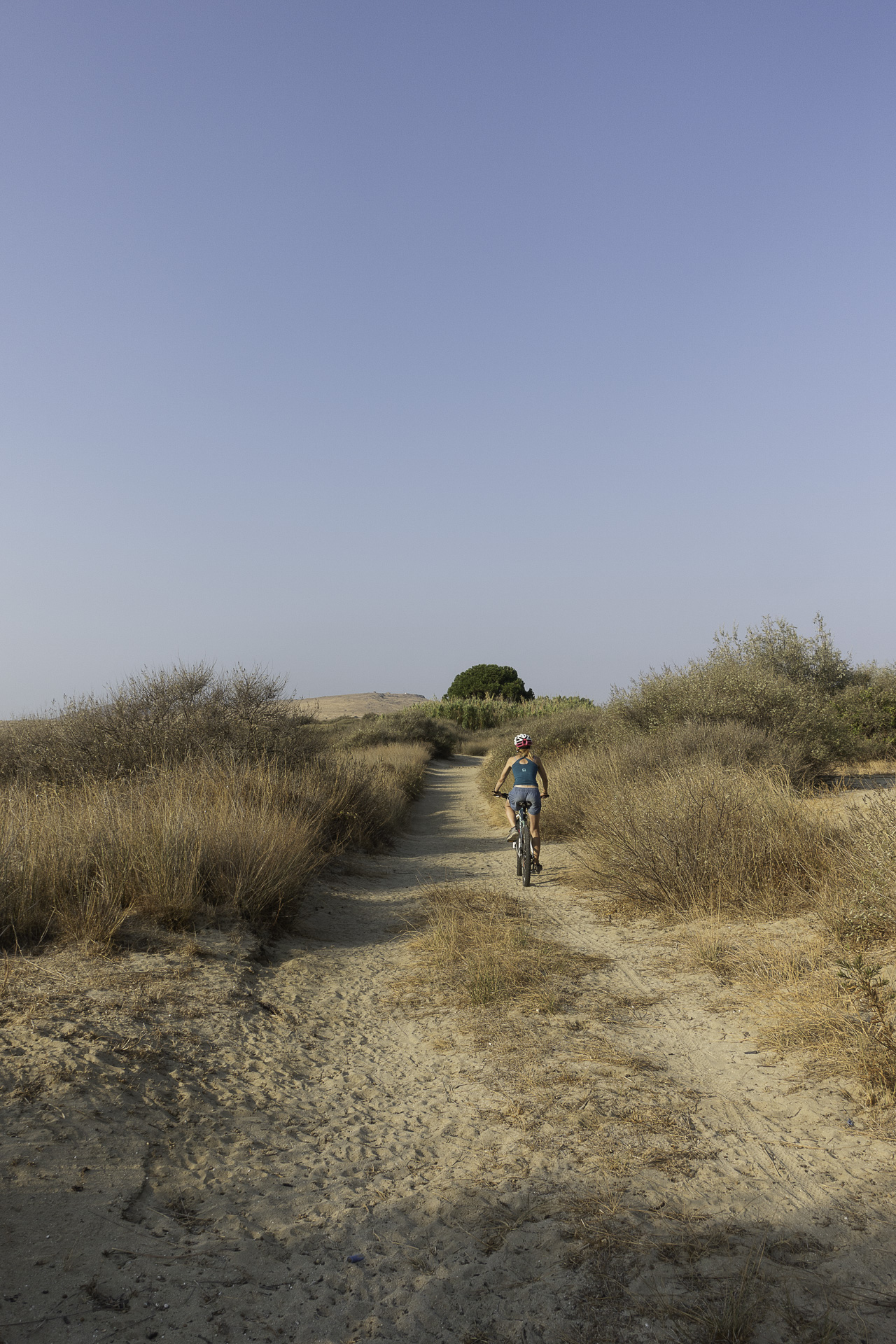
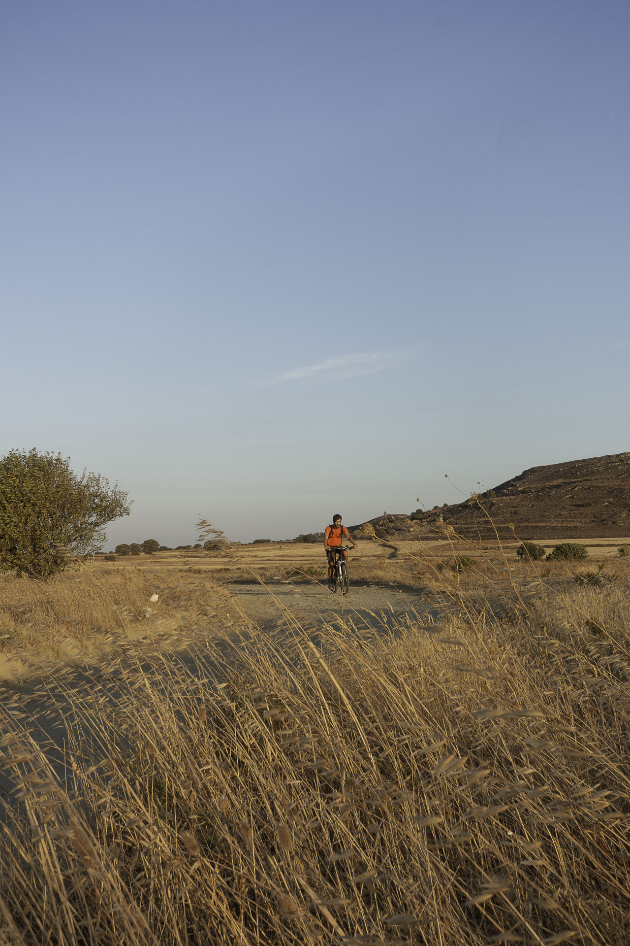
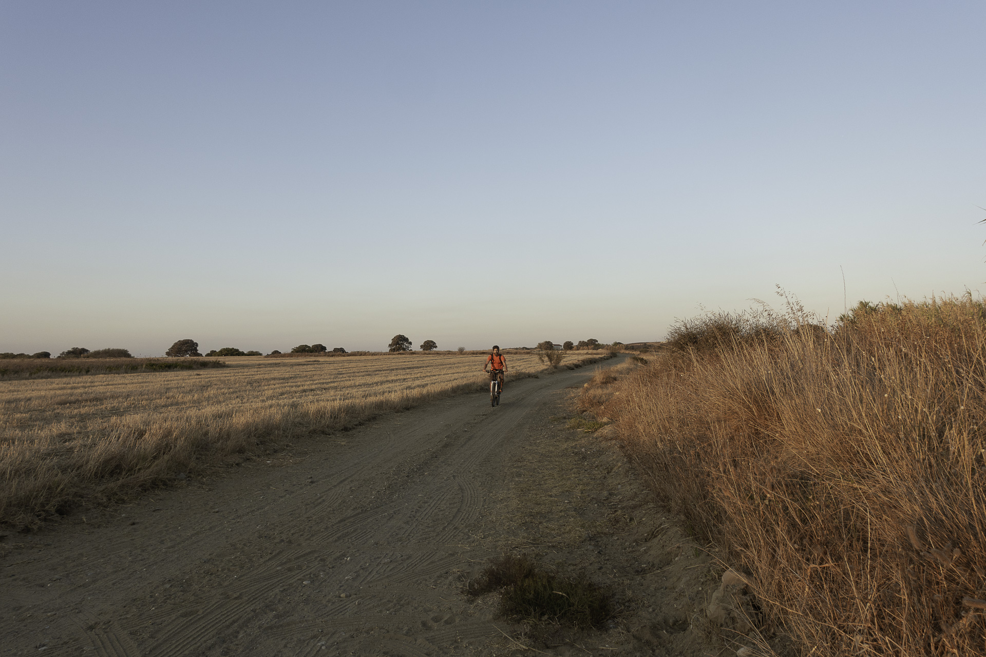
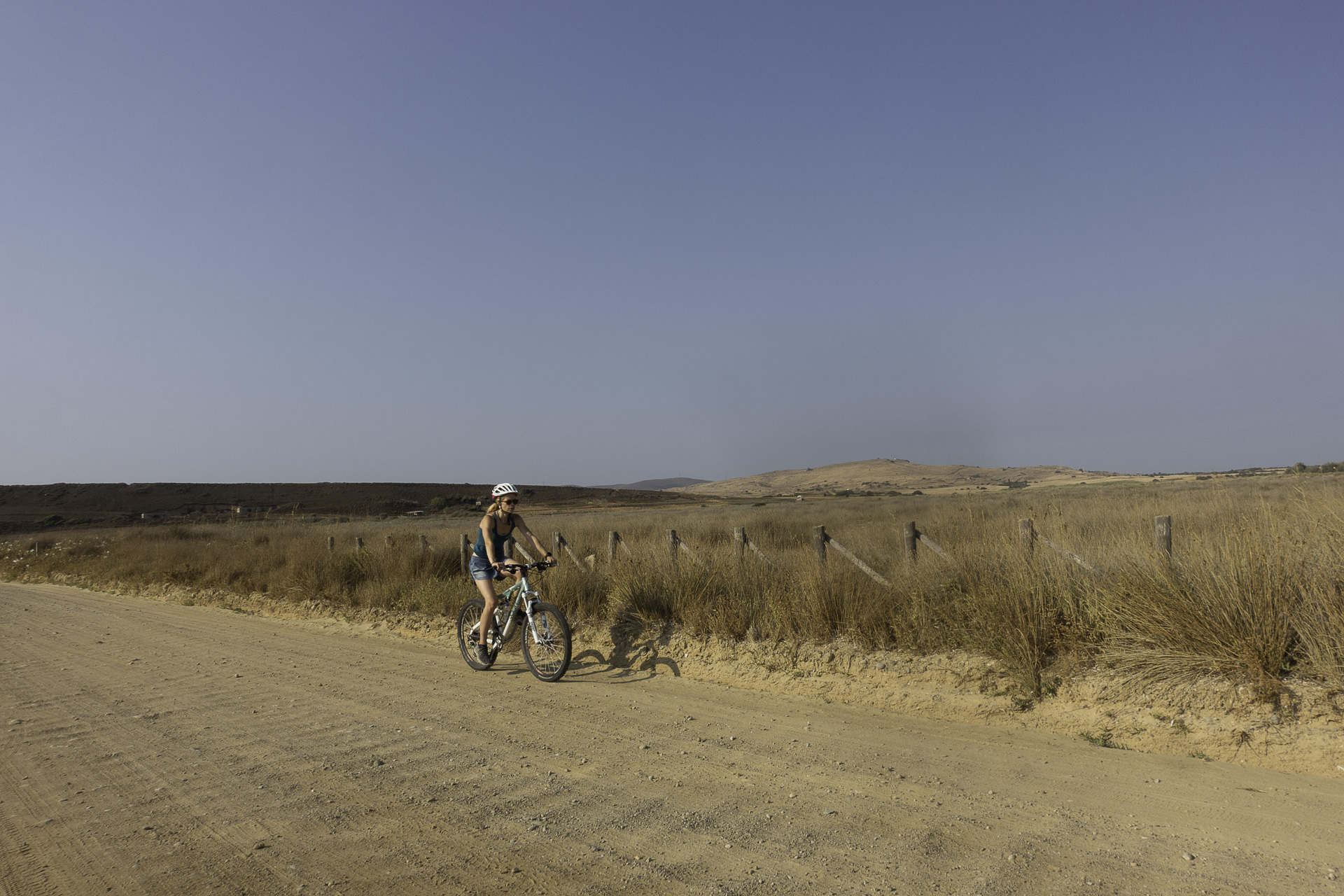
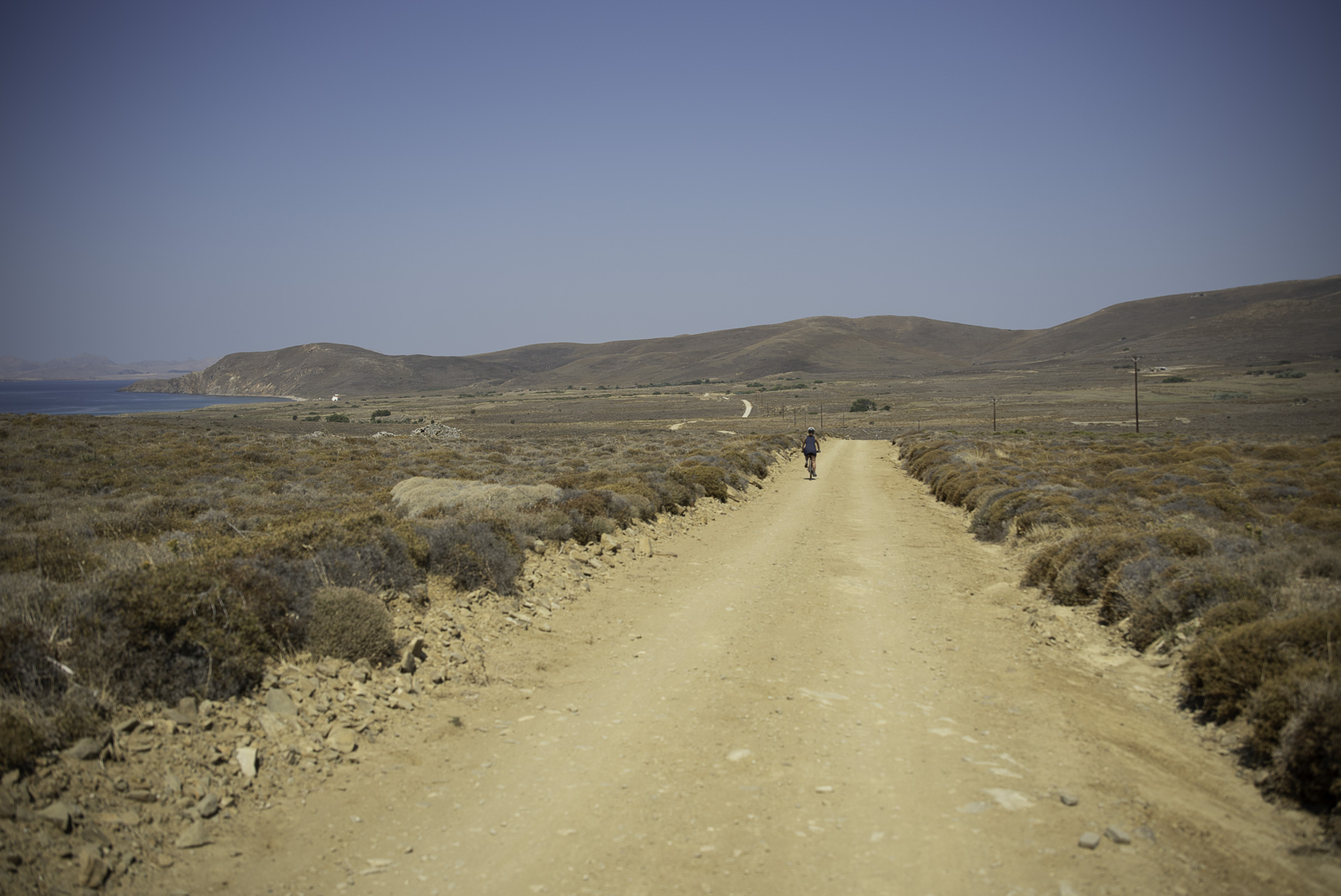
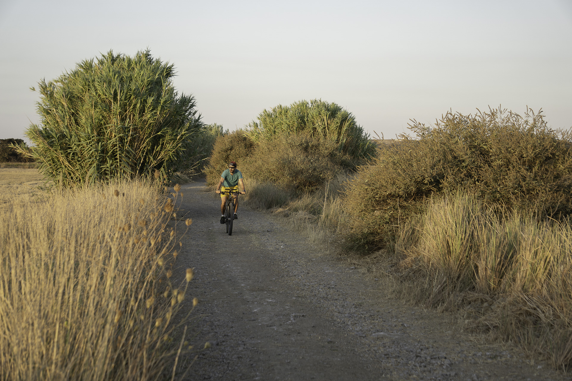
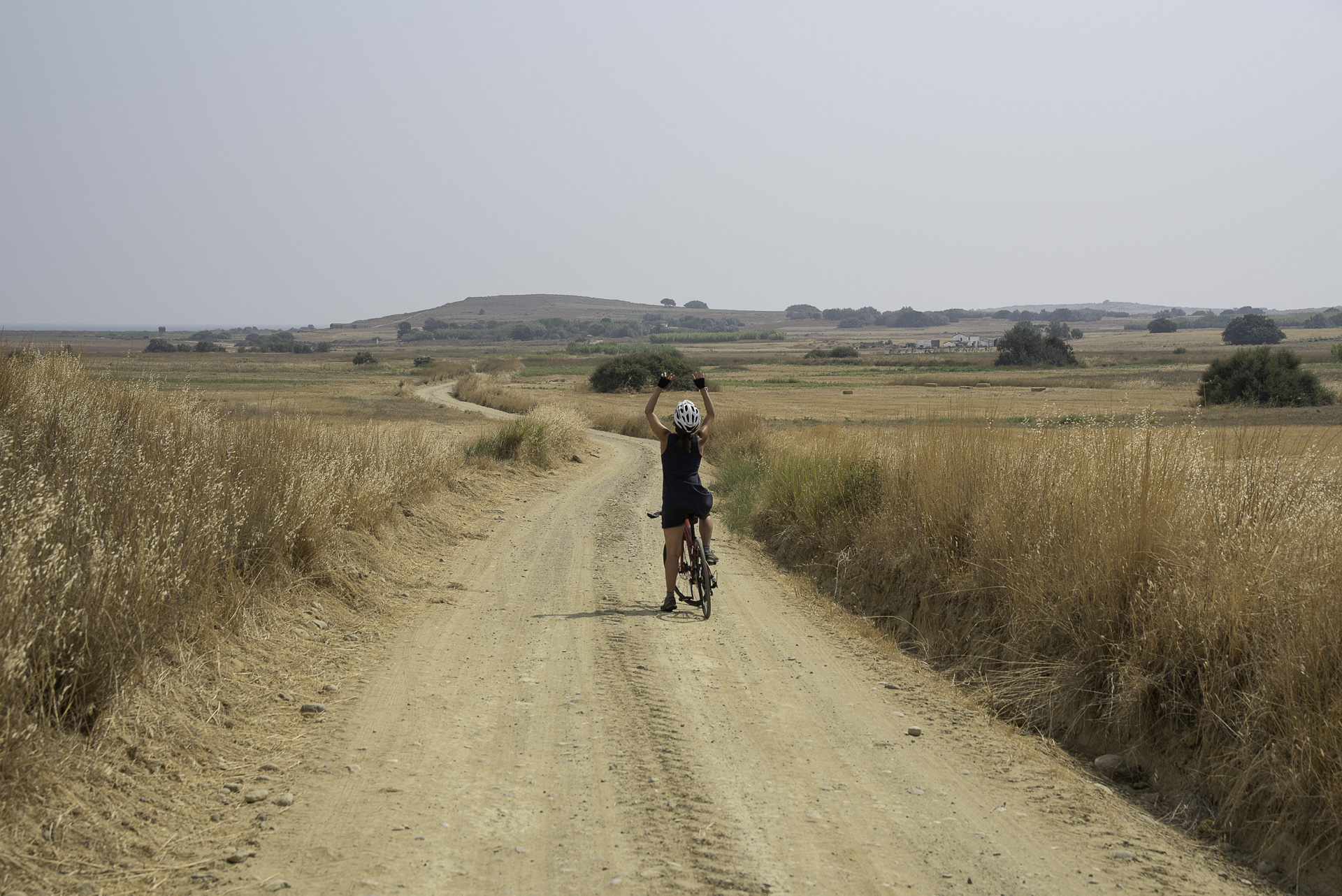
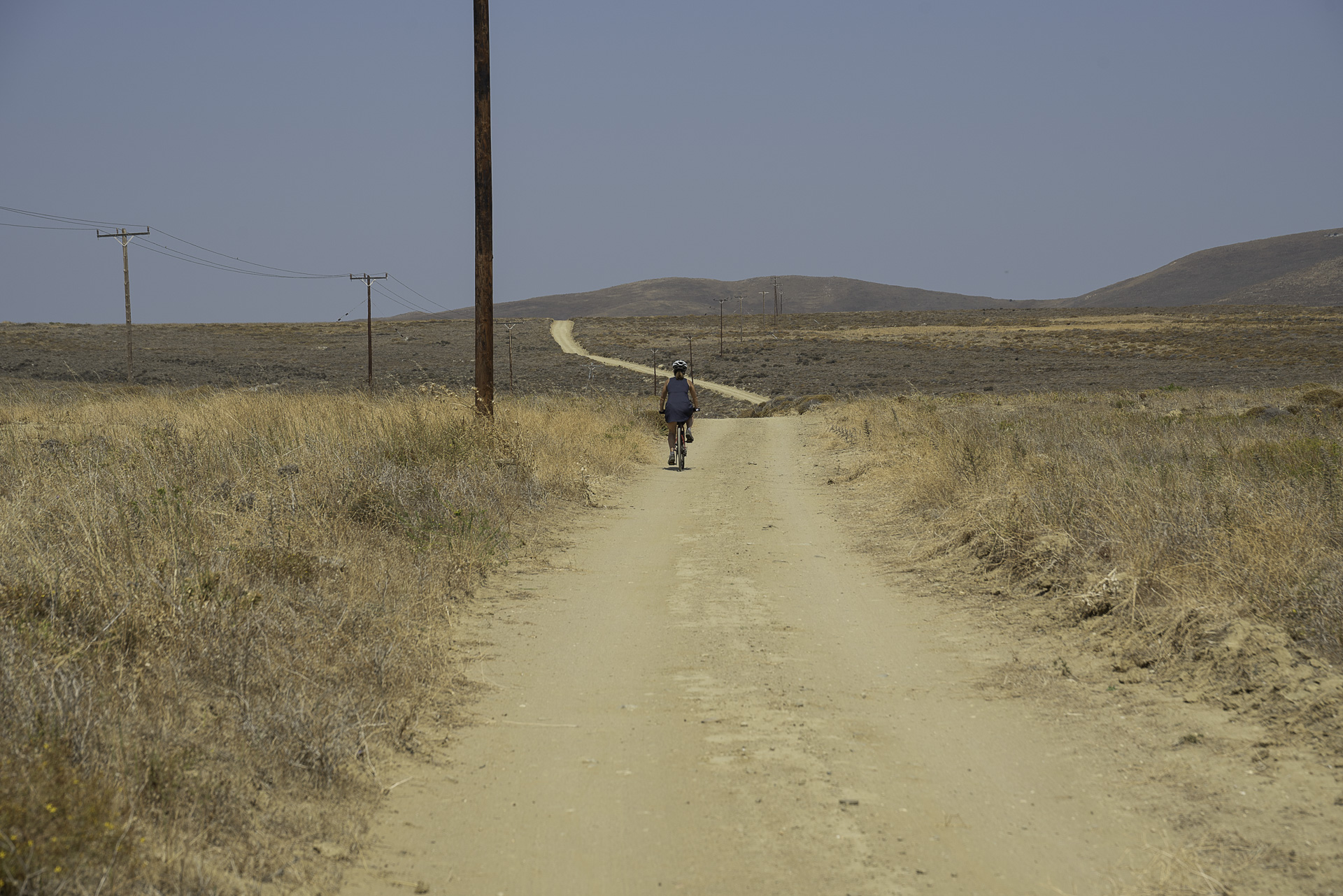
The entire route follows dirt roads in good condition, with minimal incline, making it suitable even for beginner cyclists. Avoid riding inside Alyki itself, not only because the salt damages the bike’s mechanical parts but, above all, to protect this highly sensitive ecosystem.
21.9 km.
ROAD
DIRTROAD
BAD DIRTROAD
PATH
21.9 km.
ROAD
DIRTROAD
BAD DIRTROAD
PATH
ROAD
BAD DIRTROAD
DIRTROAD
PATH
GALLERY
ROAD BOOK
| Distance between points | Total distance | Description | |
|---|---|---|---|
| 0 | 0 |  |
Starting point the square of Kontopouli. Head NW towards Plaka – Hefaistia |
| 0.2 | 0.2 |  |
At the village exit, diagonally left onto asphalt road. |
| 0.3 | 0.5 |  |
At the wide dirt road, turn right. |
| 0.1 | 0.6 |  |
At the 1st junction, straight. |
| 0.6 | 1.2 | |
At the 2nd junction (with the white roadside shrine), straight. |
| 0.8 | 2.0 | |
At the 3rd junction, straight. |
| 0.5 | 2.5 |  |
Ignore the 1st road perpendicular to the right. |
| 0.5 | 3.0 |  |
Ignore the 2nd road diagonally back to the right. |
| 0.7 | 3.7 |  |
At the next junction, right. |
| 0.4 | 4.1 |  |
At the end of the road, left onto the main asphalt road. |
| 0.1 | 4.2 |  |
At the 1st dirt road, right. |
| 1.3 | 5.5 | |
At the end of the road, left onto main asphalt road. |
| 0.2 | 5.7 |  |
At the 1st dirt road, immediately after the chapel of Agios Panteleimonas, left. |
| 1.1 | 6.8 | |
Παραβλέπουμε τον κεντρικό χωματόδρομο κάθετα δεξιά. Συνεχίζουμε έχοντας Ignore the main dirt road going perpendicular right. Continue with Alyki on your left. |
| 1.3 | 7.9 | |
At the western edge of Alyki, at a fork, go straight (take the right branch). |
| 0.5 | 8.4 | |
At the end of the road, left. |
| 1.1 | 9.5 | |
Right at the 1st road after Alyki. |
| 1.0 | 10.5 | |
At the entrance of “Surf Club Keros” Resort, left towards the sea. |
| 0.5 | 11.0 | |
On the coastal road, right. |
| 1.7 | 12.7 |  |
In the pine forest, diagonally left back towards the sea. |
| 1.4 | 14.1 | |
Shortly before the end of the beach, right at the 1st dirt road. |
| 0.4 | 14.5 |  |
At the 1st fork, left towards the small bridge. |
| 0.1 | 14.6 | |
At the next fork (with the ruined wooden observation tower), left. |
| 0.5 | 15.1 | |
At the end of the road, right at the junction. |
| 0.4 | 15.5 | |
At the 1st road after the house with the sheepfold, perpendicular right towards Chortarolimni. |
| 0.1 | 15.6 |  |
After 100 m at a three-way fork, take the middle road. |
| 1.4 | 17.0 | |
At the end of the lake, at a fork before the sheepfold, left. |
| 0.6 | 17.6 | |
At the fork inside the lake, left onto the less obvious road. |
| 0.7 | 18.3 |  |
At the 2nd fork, just after the reed bed, right. |
| 0.4 | 18.7 | |
At the end of the road, right towards the stone structure. |
| 0.1 | 18.8 | |
At the stone structure, right at the fork onto a secondary dirt road. |
| 0.7 | 19.5 | |
At the junction, straight. |
| 1.1 | 20.6 | |
At the start of Kalliopi village, at a large parking lot, right at the fork. |
| 0.1 | 20.7 | |
At the end of the road, left. |
| 0.05 | 20.7 | |
At the church, straight (slightly right) at the junction. |
| 0.1 | 20.8 |  |
At the central square, follow the dirt road starting left of the playground. |
| 0.3 | 21.1 | |
At the junction of the dirt road, straight towards Kontopouli. |
| 0.6 | 21.7 | |
On the village’s main road, right to return to the starting point. |