

WESTERN AGRAFA
KILOMETERS
DURATION
ELEVATION
PROPOSED SEASON
DIFFICULTY
PHYSICAL CONDITION
TECHNICAL DIFFICULTY
STARTING POINT
Author:
G. Koutrotsios
Photos:
G. Koutrotsios - V. Karalaios
Into the Untamed Mountains
If you haven’t seen the Agrafa Mountains, I can’t really describe them to you. Every cyclist who respects themselves should pay them a visit. The proposed route winds along beautiful, deserted dirt roads, passes through dense forests and ravines, climbs into alpine meadows, and visits some of the most remote villages in the Agrafa region. All of this is just a small taste of what one can encounter in these wild mountains!
INTRODUCTION
No matter how hard you try, it’s difficult to find words to describe this place. Perhaps that’s why it was named Agrafa—literally “unwritten.” Here, the ruggedness of the mountains has blended with the kindness of the people, a fruitful relationship that has lasted for centuries. Very little has changed over the years in these lands. The mountains have kept their wild beauty, barely touched by human interventions, while the locals have preserved their humanity, far from the alienation of big cities.
A mountain bike is perhaps the best way to experience the Agrafa. It’s slow enough to let you truly enjoy the scenery, yet fast enough to cover the relatively long distances between the isolated villages. The following route is just a glimpse of what you may find in these mountains—and surely a reason to come back…

ROUTE DESCRIPTION
The route runs along the slopes of Fteri and Liakoura, the highest peaks of western Agrafa. It starts from the village of Lithochori (960 m), climbing steeply up to 1,450 m just before the “Goupata” plateau, offering unmatched views of the surrounding mountains and Lake Kremaston. From there, it descends for 11 km to the villages of Vasilesi and Fousiana.
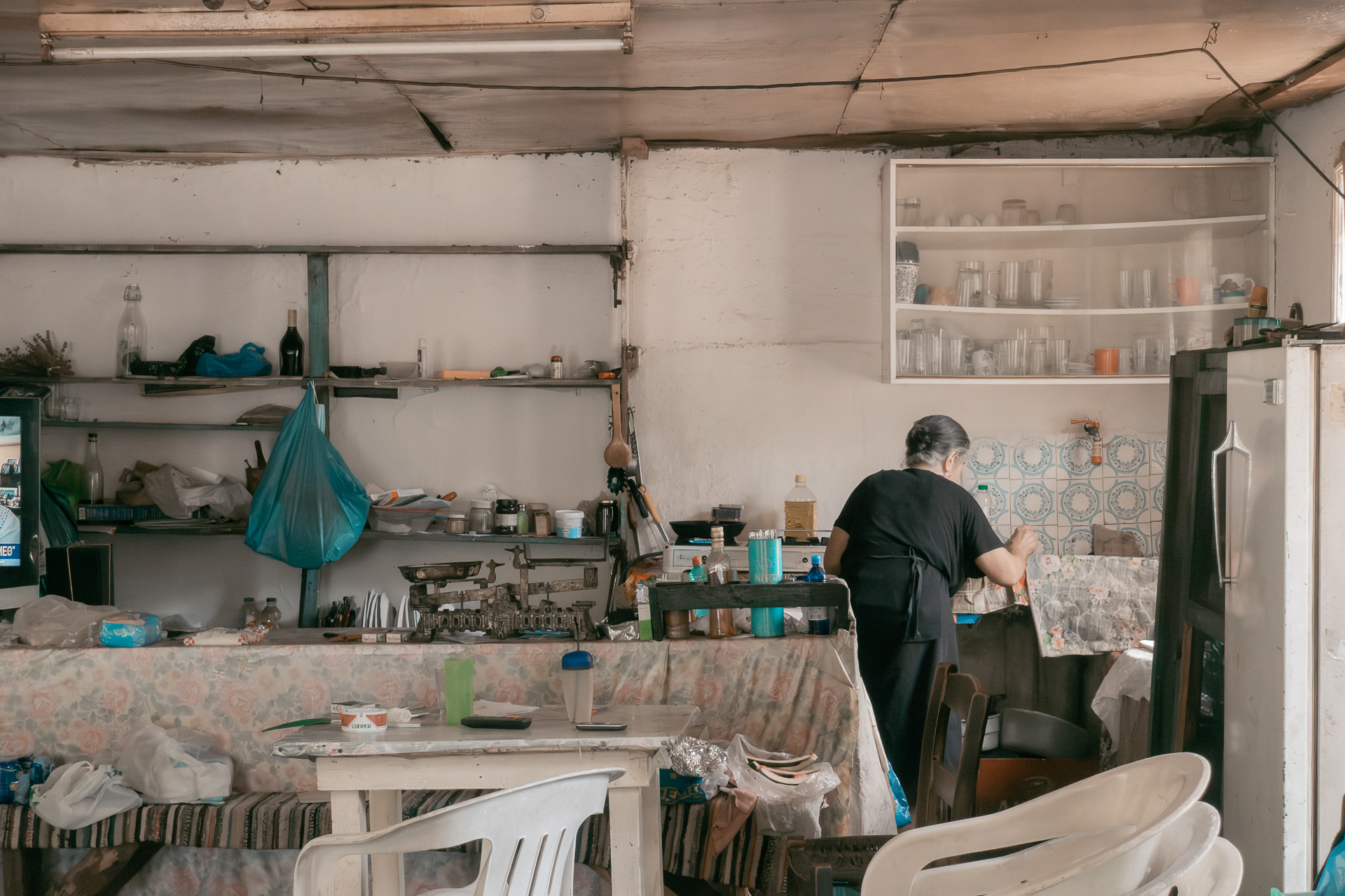
In the square of Fousiana you’ll find Panagiotis and Vasiliki’s coffeehouse—a time machine of sorts—and a stop here is absolutely mandatory!
After Fousiana, the route climbs again for 6 km, this time more gently and through a dense oak forest, leading to the pass above the village of Raptopoulo. The hardest part ends here, since only 6 downhill kilometers remain to bring you back to Lithochori.
With the exception of the Vasilesi–Fousiana stretch, the entire route follows deserted dirt roads of varying difficulty and steepness. It crosses unique fir and oak forests, climbs into alpine landscapes surrounded by sheer peaks, and passes through villages and pastoral settlements, offering an authentic glimpse of Agrafa’s nature and way of life.


29.2 km.
ROAD
DIRTROAD
BAD DIRTROAD
PATH
29.2 km.
ROAD
DIRTROAD
BAD DIRTROAD
PATH
ROAD
BAD DIRTROAD
DIRTROAD
PATH
GALLERY


- TIPS
- ΣΗΜΕΙΑ ΕΝΔΙΑΦΕΡΟΝΤΟΣ
From Lithochori to Fousiana there are several springs. However, from Fousiana back to Lithochori there are none.
As in all livestock areas, you should be cautious around sheepdogs. During the survey of this route, though, we encountered no problems.
Visiting Vasiliki and Panagiotis’ café in the village square is a unique experience. The place may be simple, but the coffee and Mrs. Vasiliki’s food are excellent. Don’t rush to leave—take the time to enjoy and imprint this image in your memory. In a few years, places like this may only exist in photographs.
ROAD BOOK
| Distance between points | Total distance | Description | |
|---|---|---|---|
| 0 | 0 |  |
Starting point: Lithochori, Evrytania. Begin at the uphill road directly opposite the football field. At the first two forks, keep left. |
| 1.5 | 1.5 |  |
At the end of the steep climb, by the metal water tank, take the left fork. |
| 2.1 | 3.6 |  |
At the hairpin, go left, ignoring the side dirt road. |
| 2.0 | 5.6 |  |
After the sheepfold, turn left (the right road leads to the “Goupata” plateau). |
| 2.0 | 7.6 |  |
At the sheepfold junction, go right. |
| 1.4 | 9.0 | |
At the next fork, take the downhill left. If you go right, a spring is 20 m ahead |
| 0.9 | 9.9 | |
At the end of the descent, turn sharply left |
| 1.4 | 11.3 | |
At the next downhill, again sharply left onto a better dirt road. |
| 0.6 | 11.9 | |
At the next junction, turn left towards the little bridge. |
| 0.7 | 12.6 |  |
At the fork before the village, take the slightly downhill right. |
| 3.7 | 16.3 |  |
Stop at the square of Fousiana, at the café opposite the church. |
| 0.2 | 16.5 |  |
On the way back, head to Vasilesi and turn right at the first cement road. |
| 6.1 | 22.6 |  |
At the end of the climb, at the pass, take the second road from the left (out of four). |
| 1.3 | 23.9 |  |
At the first junction after the pass, go straight–left (right leads to Raptopoulo). |
| 2.1 | 26.0 |  |
Halfway down the descent, ignore the diagonal road to the left. |
| 1.5 | 27.5 | |
Ignore all minor dirt tracks. On the paved road, turn left and return to the starting point. |