
AGIOS KONSTANTINOS – LEGRENA
KILOMETERS
DURATION
ELEVATION
PROPOSED SEASON
DIFFICULTY
PHYSICAL CONDITION
TECHNICAL DIFFICULTY
STARTING POINT
Author:
G. Koutrotsios
Photos:
V. Karalaios
The Hidden Trails of Lavreotiki
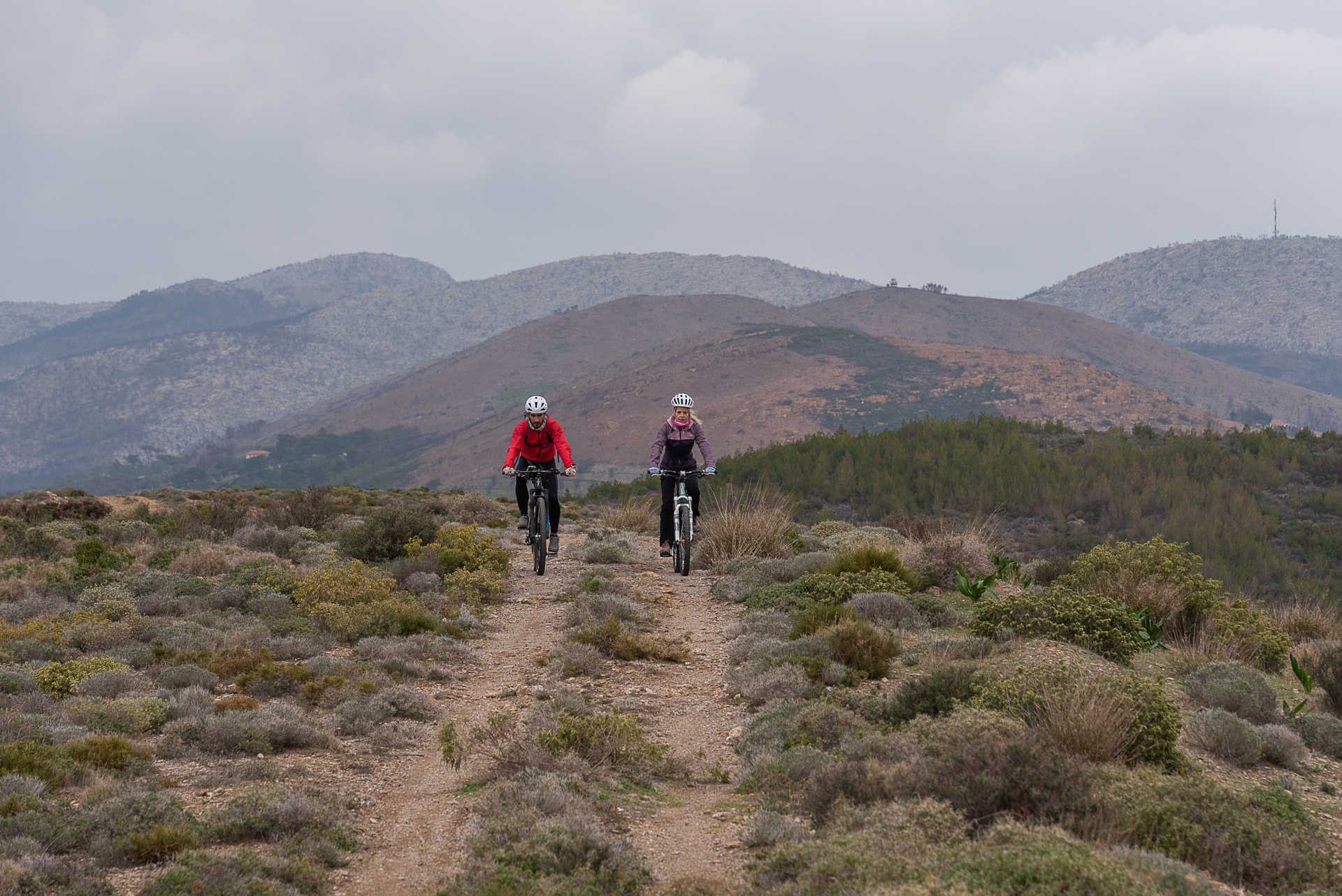
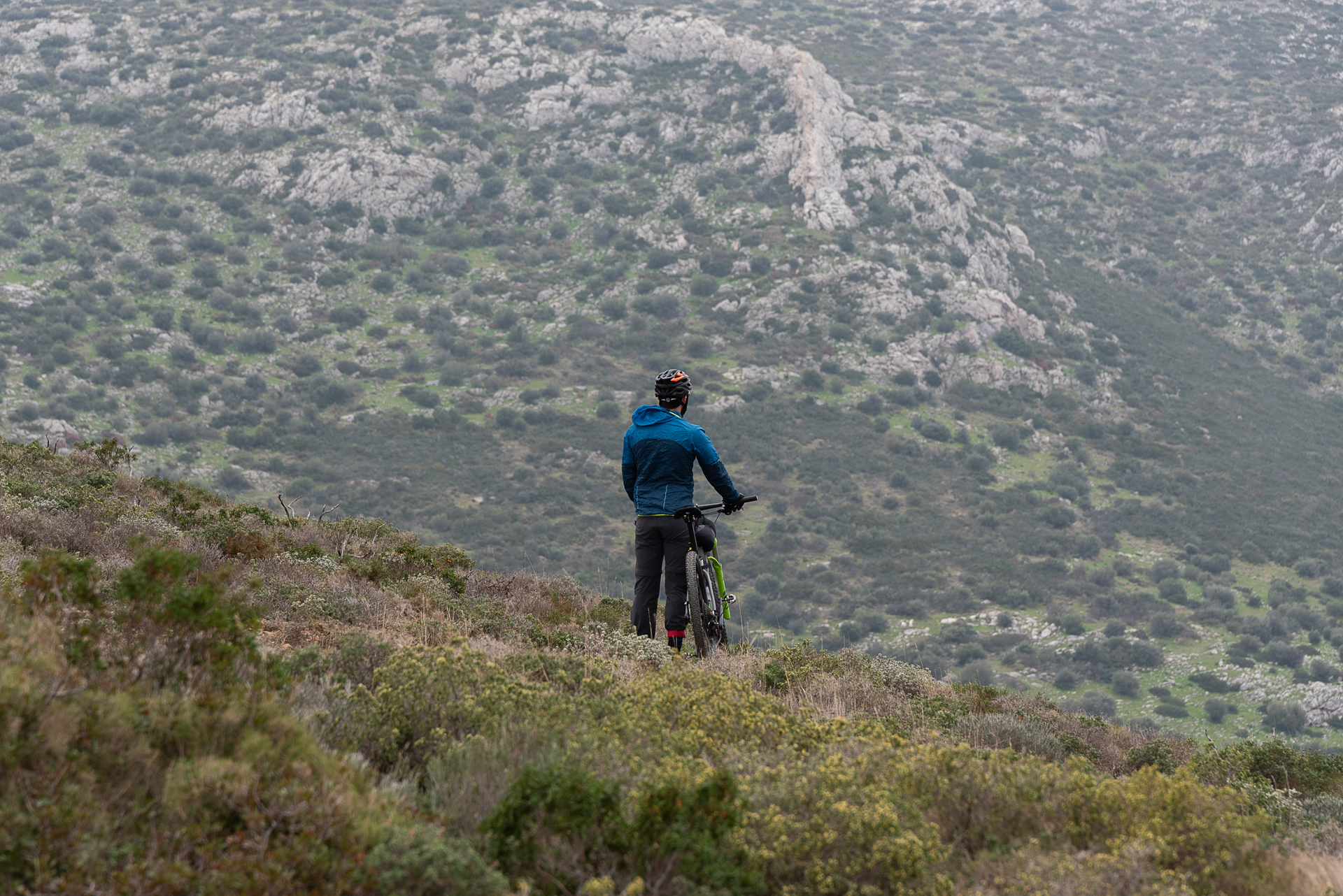
Uninterrupted views of the Aegean and the Saronic Gulf, a visit to the idyllic Legrena beach, and cycling along the quiet, lesser-known trails of the region all come together in a route that is pleasantly easy in terms of effort, across the western slopes of Lavreotiki.
INTRODUCTION
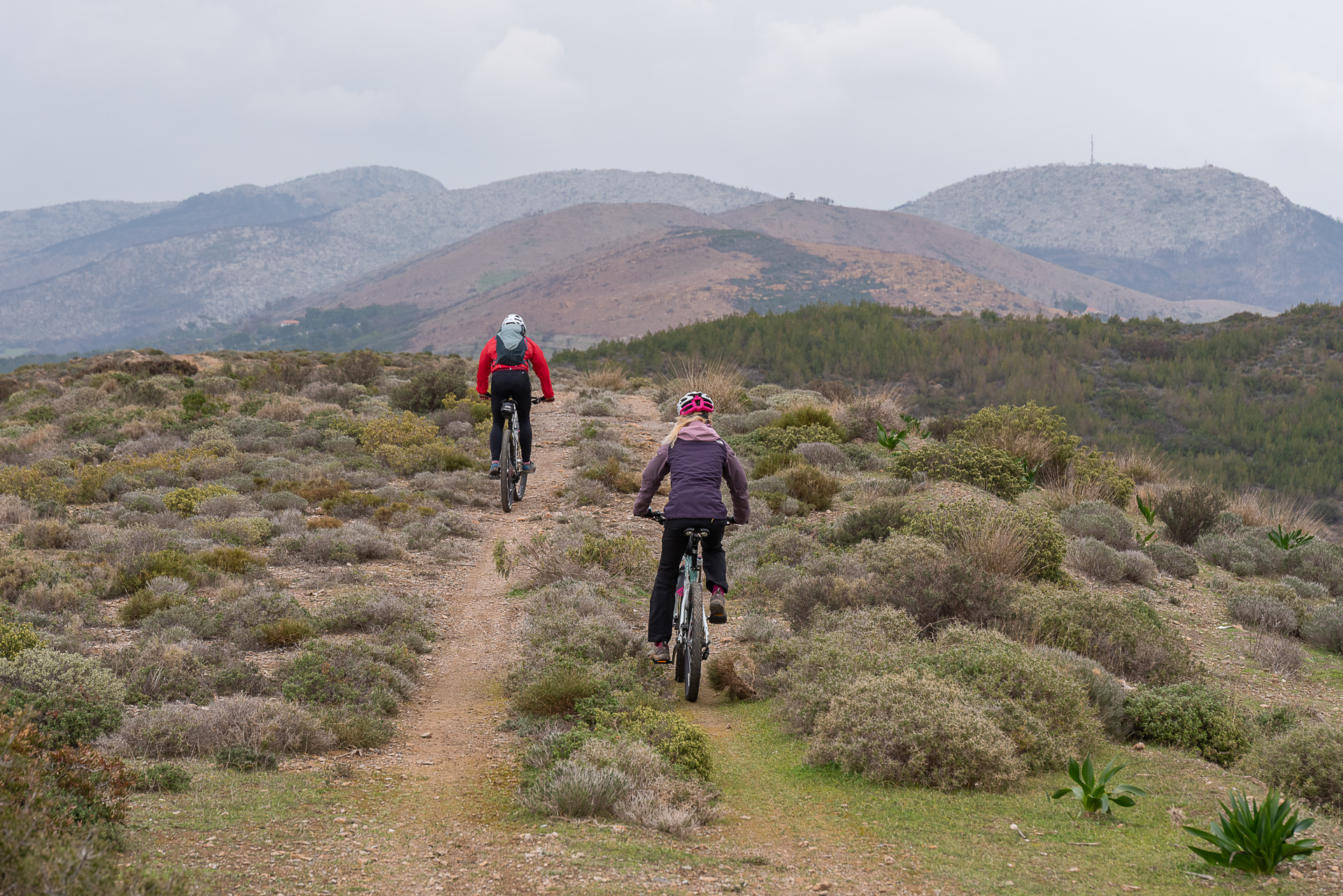
For mountain bike enthusiasts, Lavreotiki is nothing short of paradise. The western part—from Agios Konstantinos to Legrena—though less known, has nothing to envy from the rest of the area. The scenery is equally beautiful, with mostly low vegetation and clusters of pine forests around the ravines. The trail network here is vast as well, largely due to mining activity that began in the region 5,000 years ago. To transport the ore, countless kilometers of roads and trails were opened over the centuries, many of which remain to this day.
ROUTE DESCRIPTION
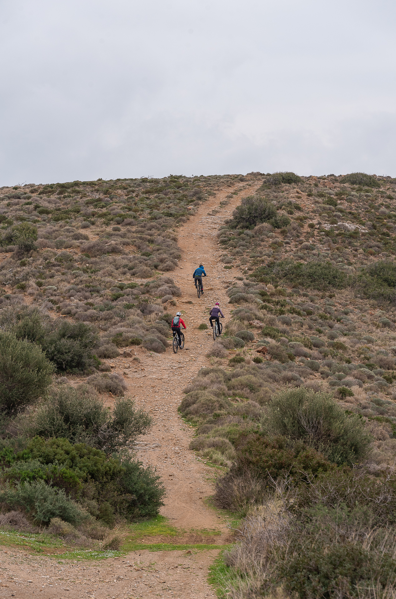
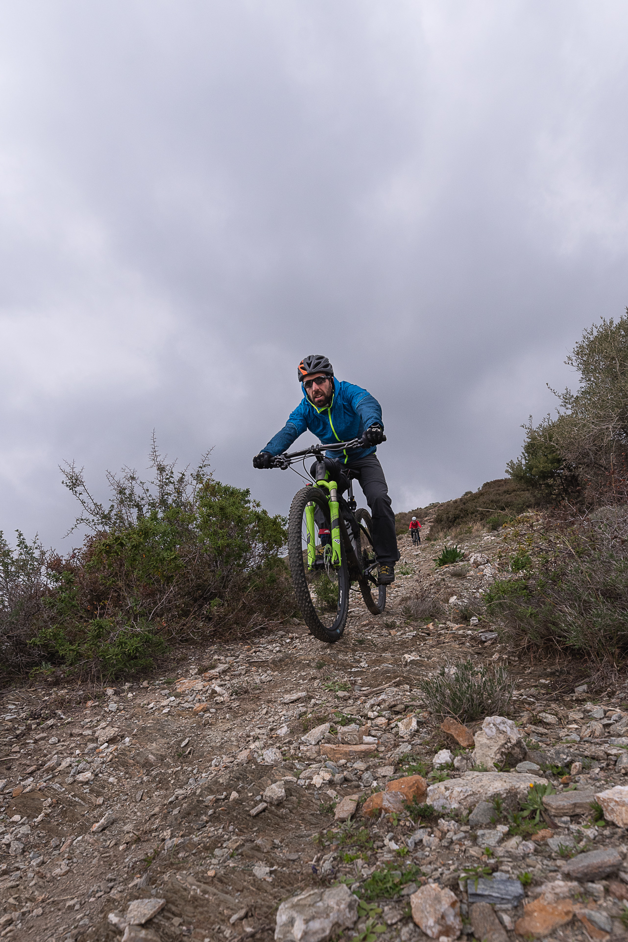
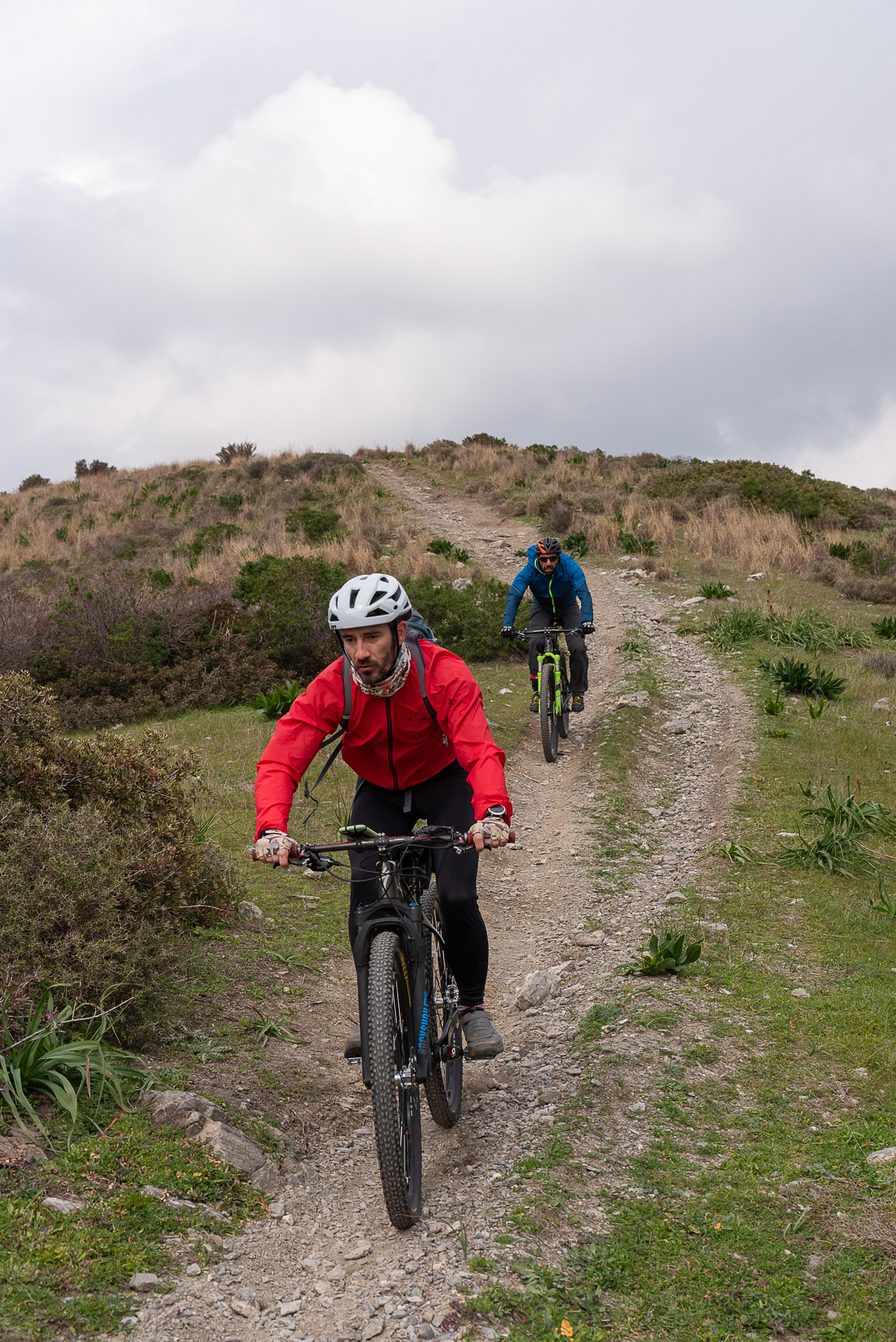
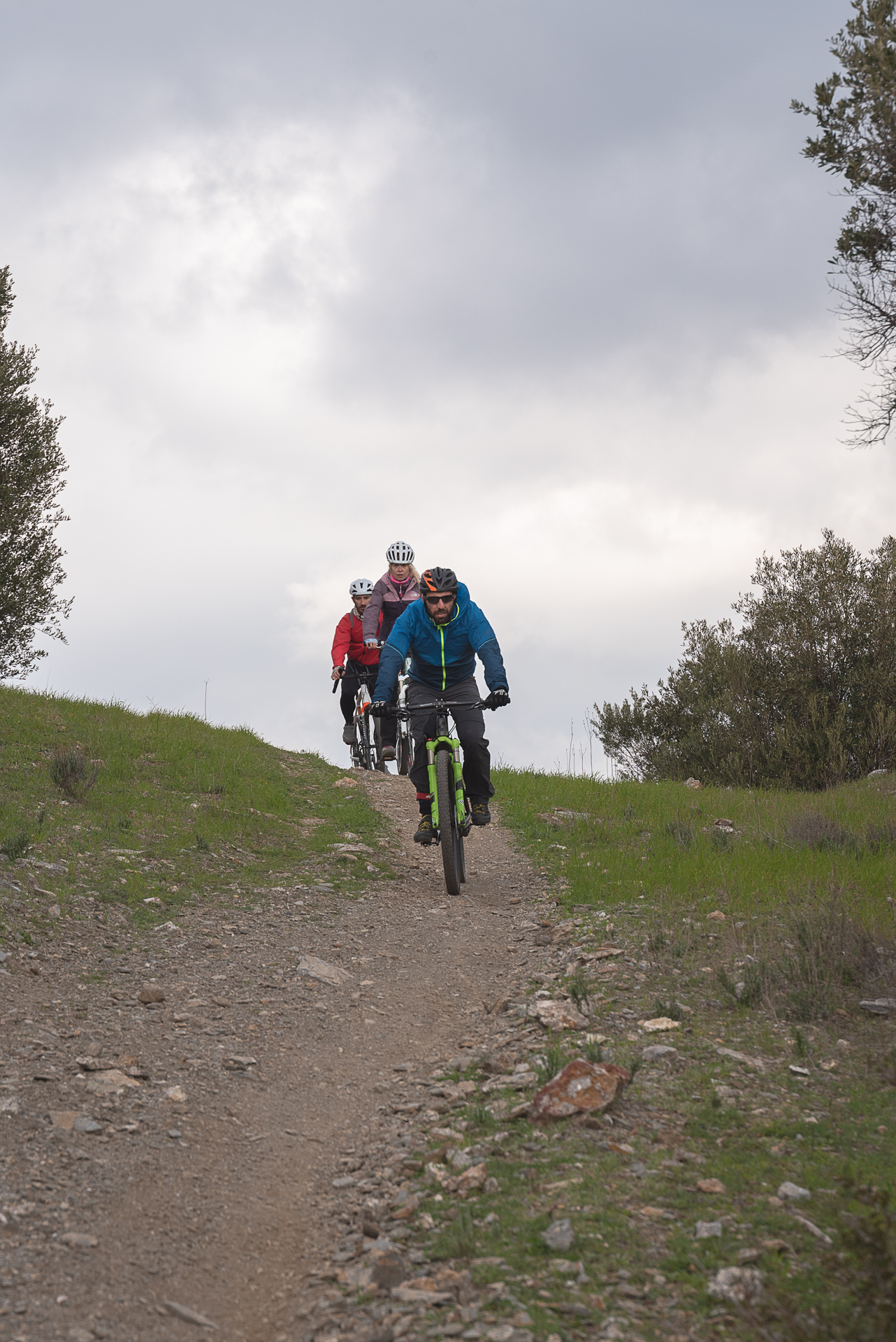
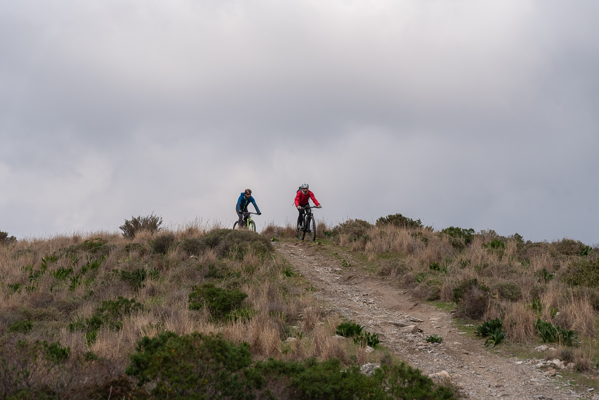
The suggested ride starts from the village of Agios Konstantinos. After the first 3 km of asphalt, it enters a beautiful 5.5 km trail. Initially, it rolls up and down a series of hills—sometimes with steep gradients—but the final 2.5 km are downhill and delightful, leading to the asphalt road that ends at Legrena beach. If you happen to be here during summer, a swim is the perfect refreshment.
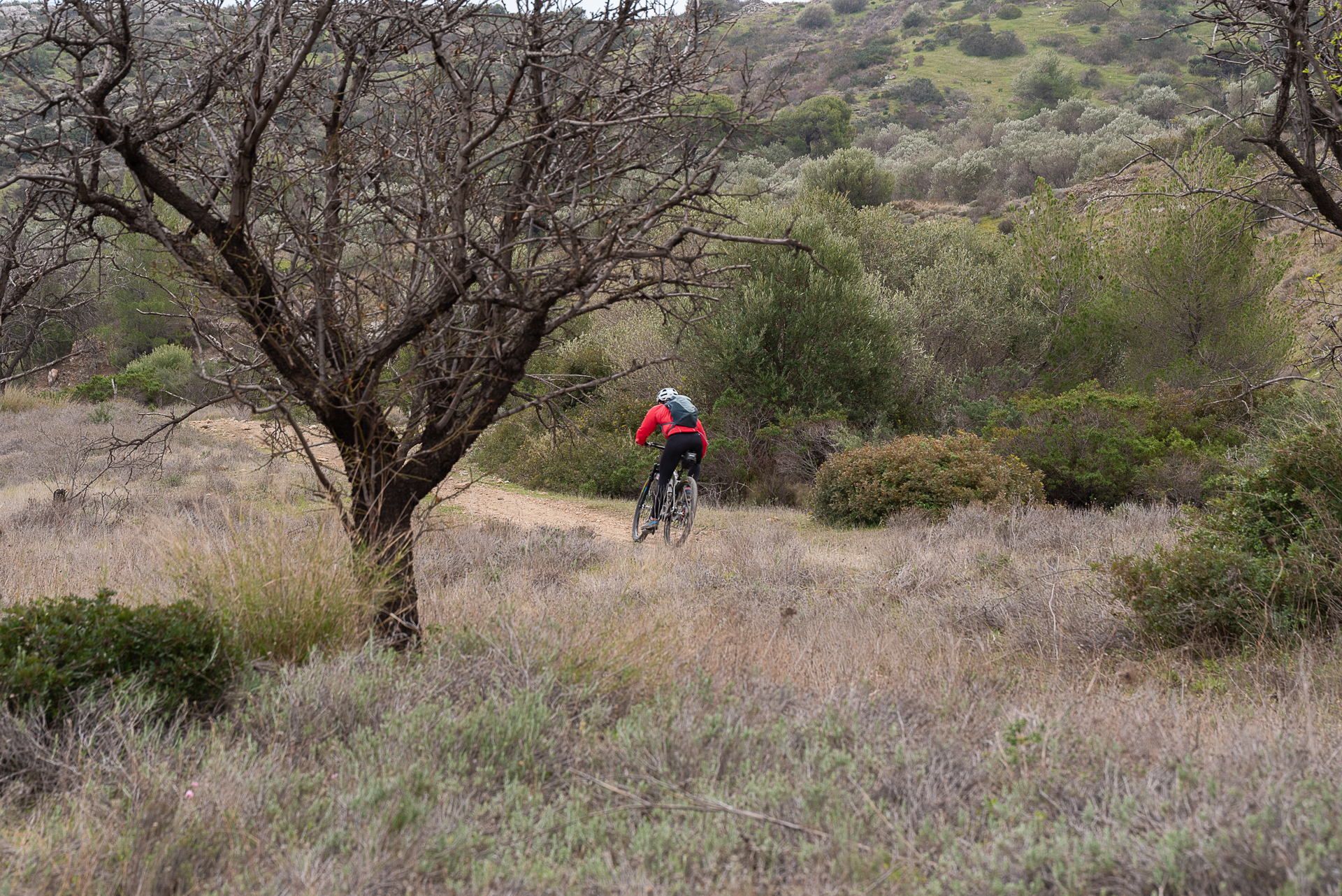
The return is along an easy dirt road with almost no incline—so easy, in fact, that it has been nicknamed the “Agios Konstantinos Boulevard”! At first, it traverses the western foothills of the mountain, then drops into the bed of a stream. A final “singletrack gift” awaits, to pull us away from the “boulevard” and guide us to the end of the route. Overall, despite its generous share of trails, the ride won’t challenge most riders—thanks to the minimal and very localized technical sections, and the short climbs that aren’t enough to cause fatigue.
23.4 km.
ROAD
DIRTROAD
BAD DIRTROAD
PATH
23.4 km.
ROAD
DIRTROAD
BAD DIRTROAD
PATH
ROAD
BAD DIRTROAD
DIRTROAD
PATH
GALLERY
ROAD BOOK
| Distance between points | Total distance | Description | |
|---|---|---|---|
| 0 | 0 |  |
Starting point: the parking lot next to the gas station on the main road of Agios Konstantinos (Lavrio–Anavyssos). Head towards Anavyssos. |
| 2.7 | 2.7 |  |
Immediately after the church, at the spot called “Megala Pefka,” turn left towards Legrena. |
| 0.6 | 3.3 |  |
At the first dirt road, go right. |
| 0.8 | 4.1 |  |
At the top of the climb, keep right and slightly uphill at the fork. |
| 0.9 | 5.0 |  |
After the second hill, go straight at the trail junction. |
| 0.3 | 5.3 | |
At the top of the third hill, turn right at the fork. |
| 0.2 | 5.5 |  |
At the end of the trail, turn left onto a dirt road. |
| 0.2 | 5.7 |  |
At the fence with cement blocks, turn left onto the trail. |
| 0.1 | 5.8 |  |
At the dirt road, go left. |
| 0.1 | 5.9 | |
After a few meters, diagonally left onto a trail. |
| 0.4 | 6.3 | |
Cross the dirt road straight ahead, continuing on the trail. |
| 0.7 | 7.0 | |
At the next dirt road, once again straight ahead onto the trail. |
| 1.9 | 8.9 |  |
At the end of the trail, turn right onto a dirt road. |
| 1.5 | 9.4 |  |
At the fork with trash bins, turn left. |
| 1.7 | 11.1 | |
Inside Legrena, keep right at the fork. |
| 0.8 | 11.9 | |
At the sea (Athens–Sounio road), go left and immediately right onto a dirt road running parallel to the main road. |
| 0.8 | 12.7 | |
At the end of this seaside dirt road, turn right onto asphalt. |
| 0.4 | 13.1 |  |
On the dirt road, ignore the cement road on the left, continue straight along Agias Marinis. |
| 0.3 | 13.4 | |
At the Athens–Sounio highway, turn right. |
| 0.1 | 13.5 |  |
At the first dirt road, turn left. |
| 0.0 | 13.5 | |
At the beginning of the dirt road, turn left at the fork (“Aspro Lithari” location). |
| 0.1 | 13.6 | |
At the next fork, left again. |
| 2.6 | 16.2 | |
At the fork opposite the cemetery, turn left. |
| 0.3 | 16.5 | |
At the following fork, left downhill. |
| 0.5 | 17.0 | |
At the end of the descending cement road, turn right. |
| 1.5 | 18.5 | |
Riding along the streambed, turn left at the fork. |
| 0.1 | 18.6 | |
At the main, very easy dirt road, keep right (straight). |
| 1.5 | 20.1 | |
At the next fork, turn right onto Agios Konstantinos Boulevard. |
| 1.8 | 21.9 |  |
Ignore all side roads, and just after the large fork (where the right branch climbs the mountain), turn diagonally right onto a trail. |
| 0.6 | 22.5 | |
Follow parallel to the road and, just after the shaft, turn right. |
| 0.3 | 22.8 | |
At the end of the trail, turn left onto a dirt road. |
| 0.2 | 23.0 | |
At the asphalt road, left at the fork onto N. Bourda street. |
| 0.1 | 23.1 | |
At the small bridge, right uphill (still on N. Bourda). |
| 0.2 | 23.3 | |
At the top of the climb, turn right to return to the starting point. |