
WESTERN PENTELI
KILOMETERS
DURATION
ELEVATION
PROPOSED SEASON
DIFFICULTY
PHYSICAL CONDITION
TECHNICAL DIFFICULTY
STARTING POINT
Author:
G. Koutrotsios
Photos:
V. Karalaios
On the western slopes of Mount Penteli
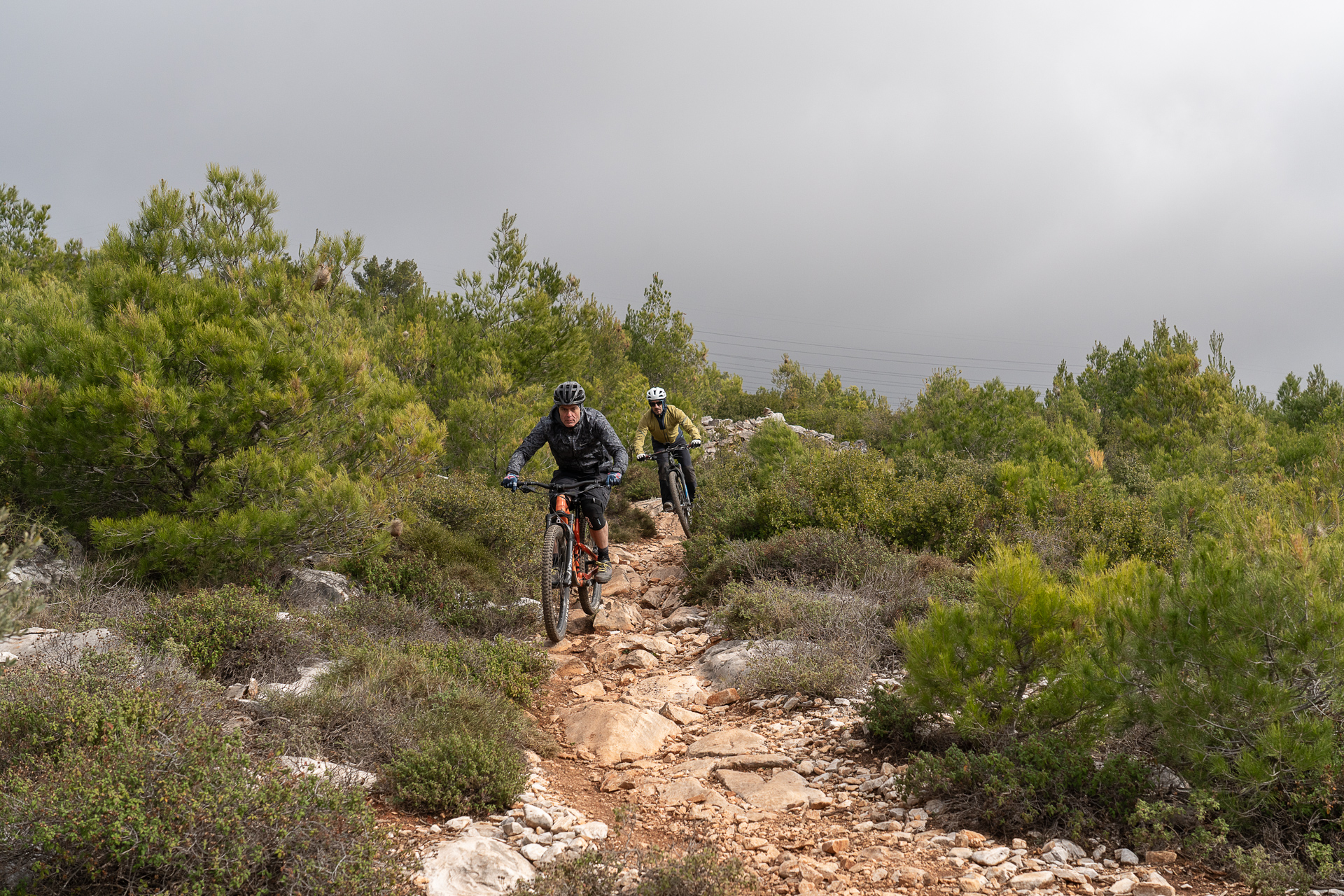
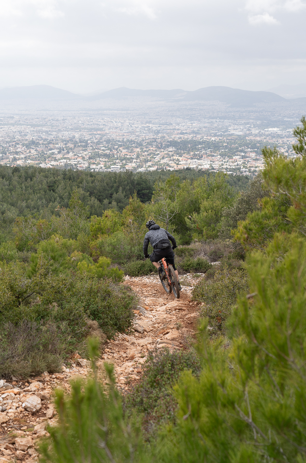
A short ride on the western slopes of Mount Penteli, starting on gentle dirt roads and finishing with a demanding trail overlooking the Athens basin. Throughout the area you’ll find a dense network of MTB trails, perfect for exploration and training. Best enjoyed in the late afternoon, when the sunset paints the landscape in warm colors.
INTRODUCTION
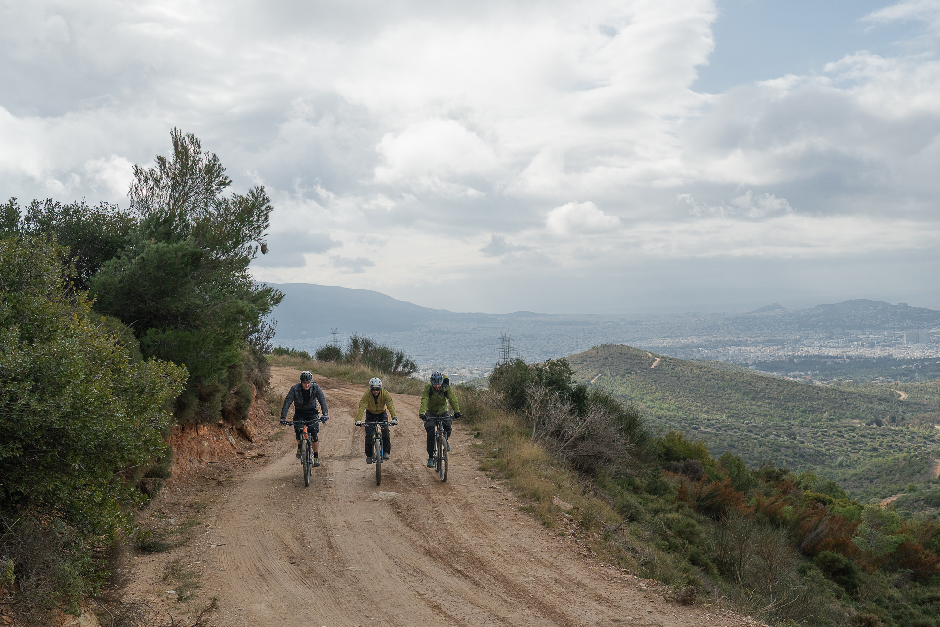
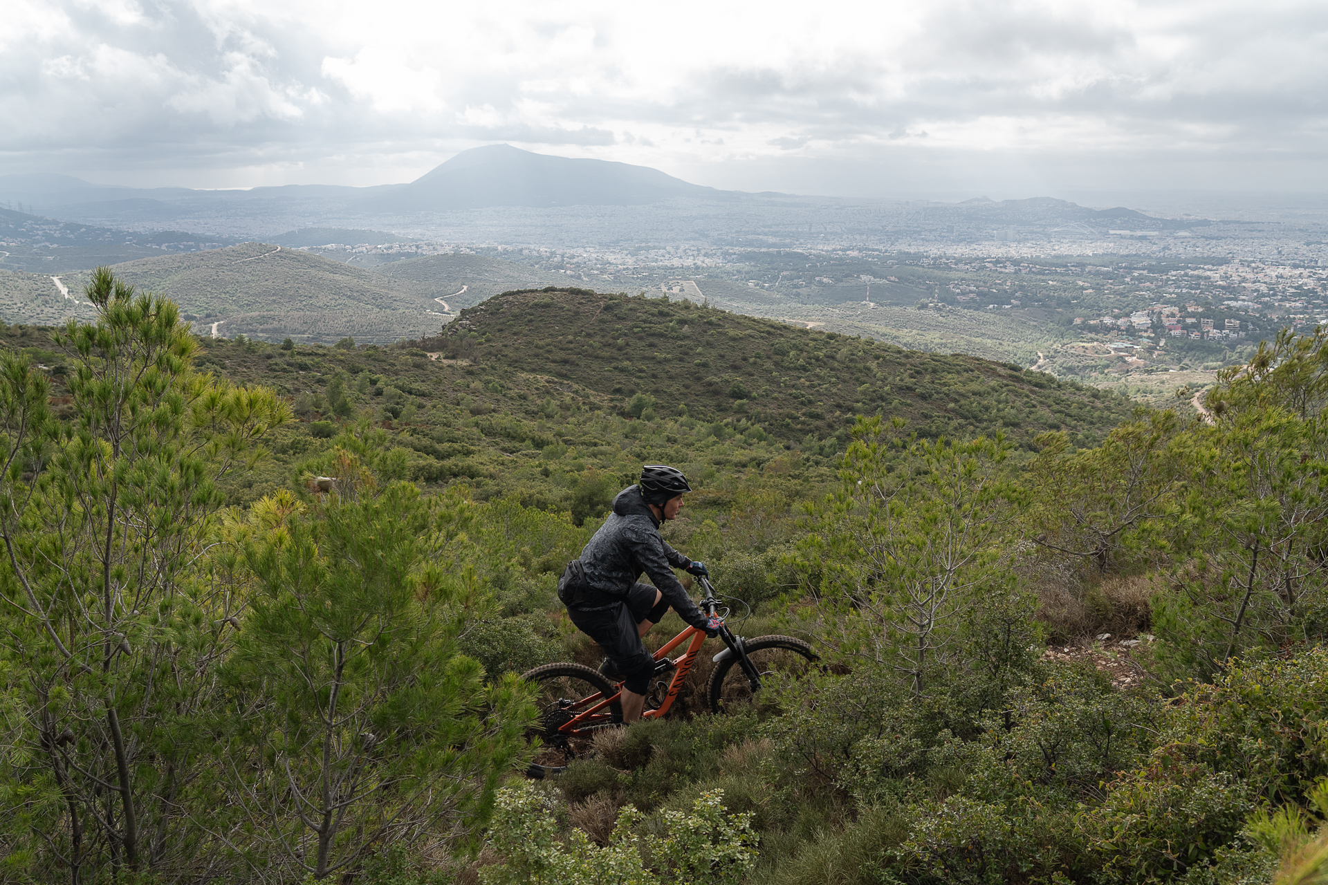
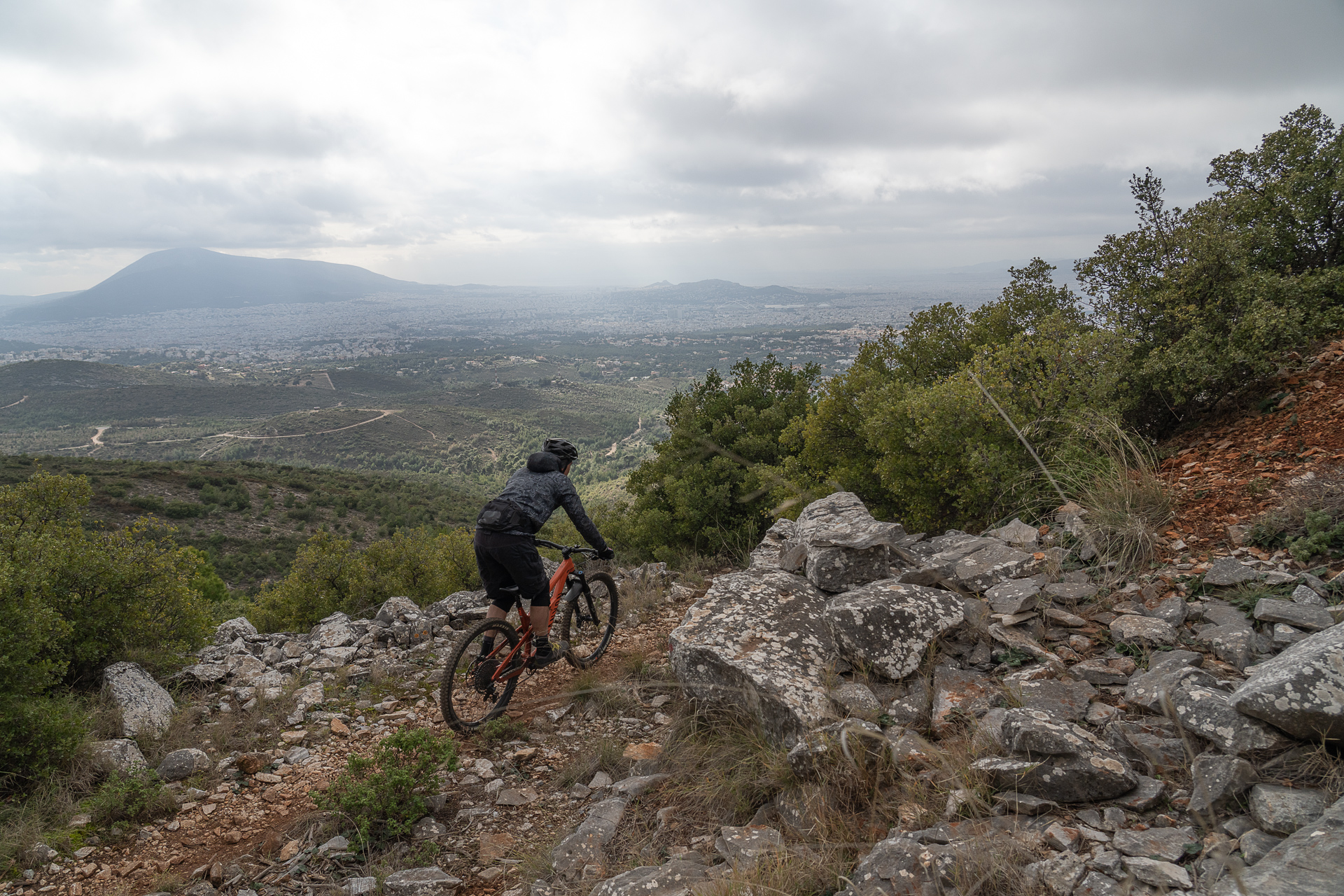
The western slopes of Mount Penteli, above Melissia and Nea Erythraia, have suffered greatly from repeated wildfires. Over the last decade, however, the area has been regenerating, gradually turning green again. Within this reborn landscape lies a rich network of dirt roads, hiking and mountain biking trails. The trails vary in difficulty and gradient: from smooth, mellow dirt paths to steep, rocky lines with big drops. So, caution is advised—know what you’re getting into! For the more romantic riders, an afternoon visit is highly recommended, combining the ride with stunning sunset views over the city basin.
ROUTE DESCRIPTION
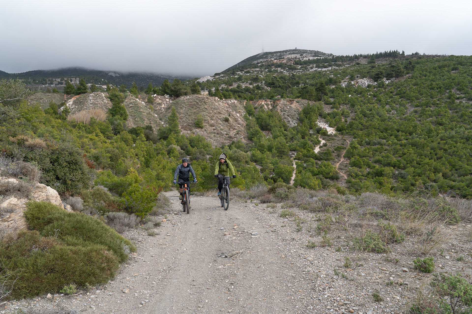
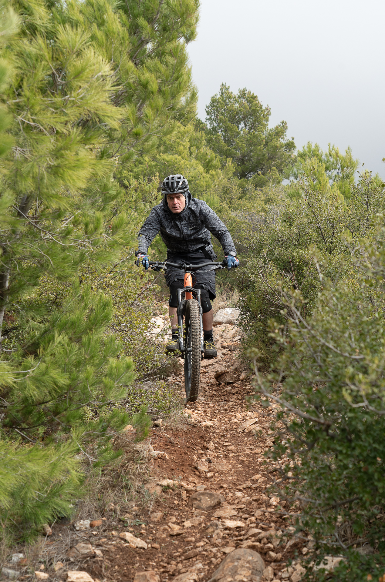
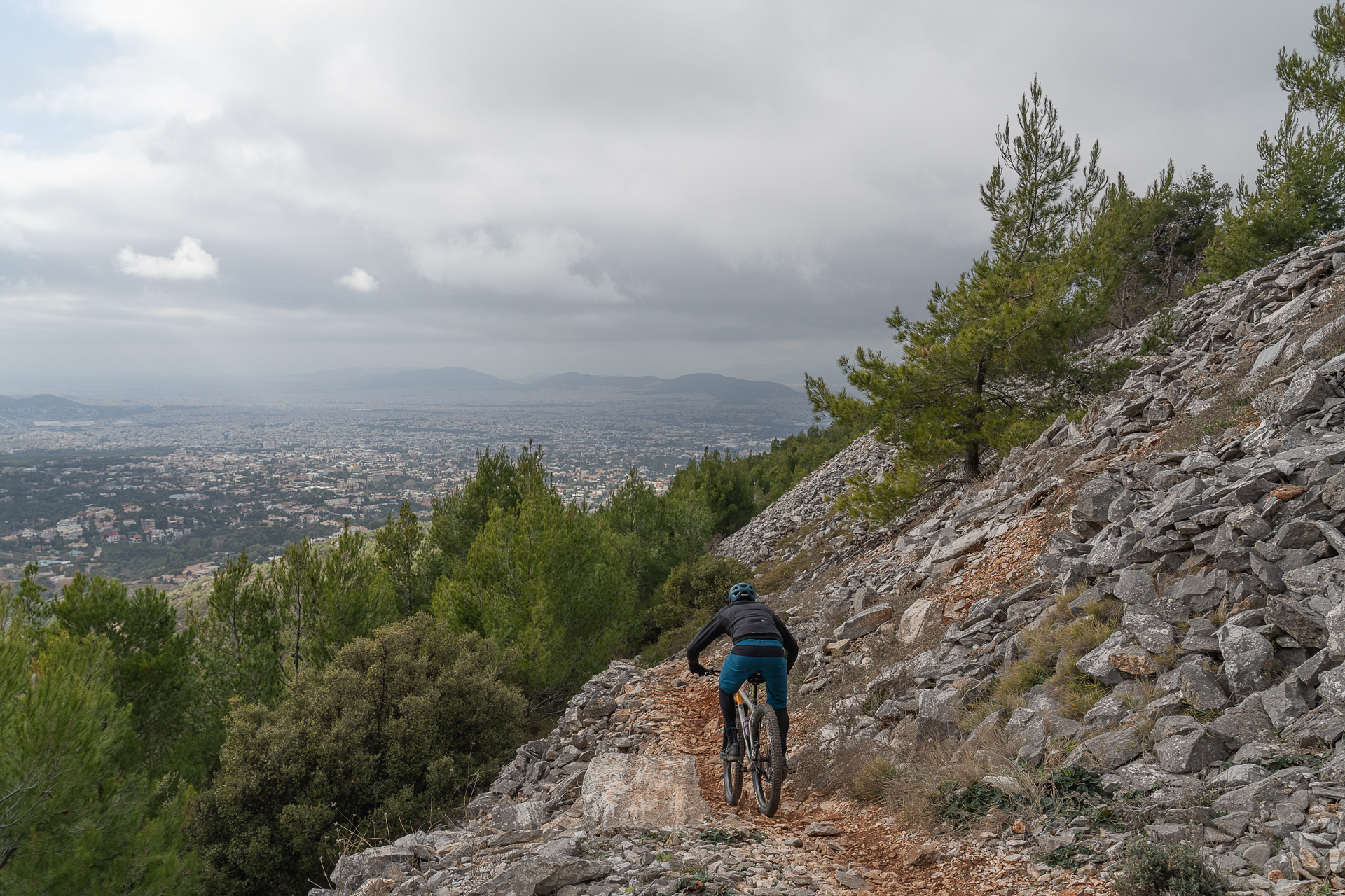
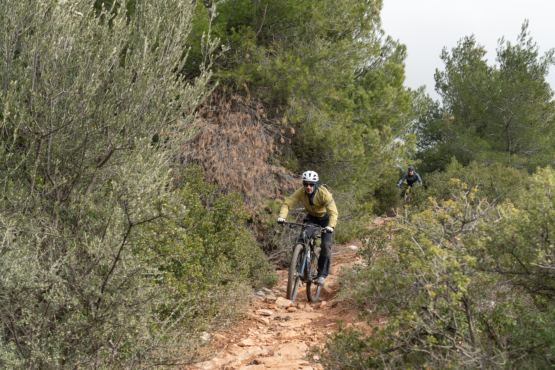
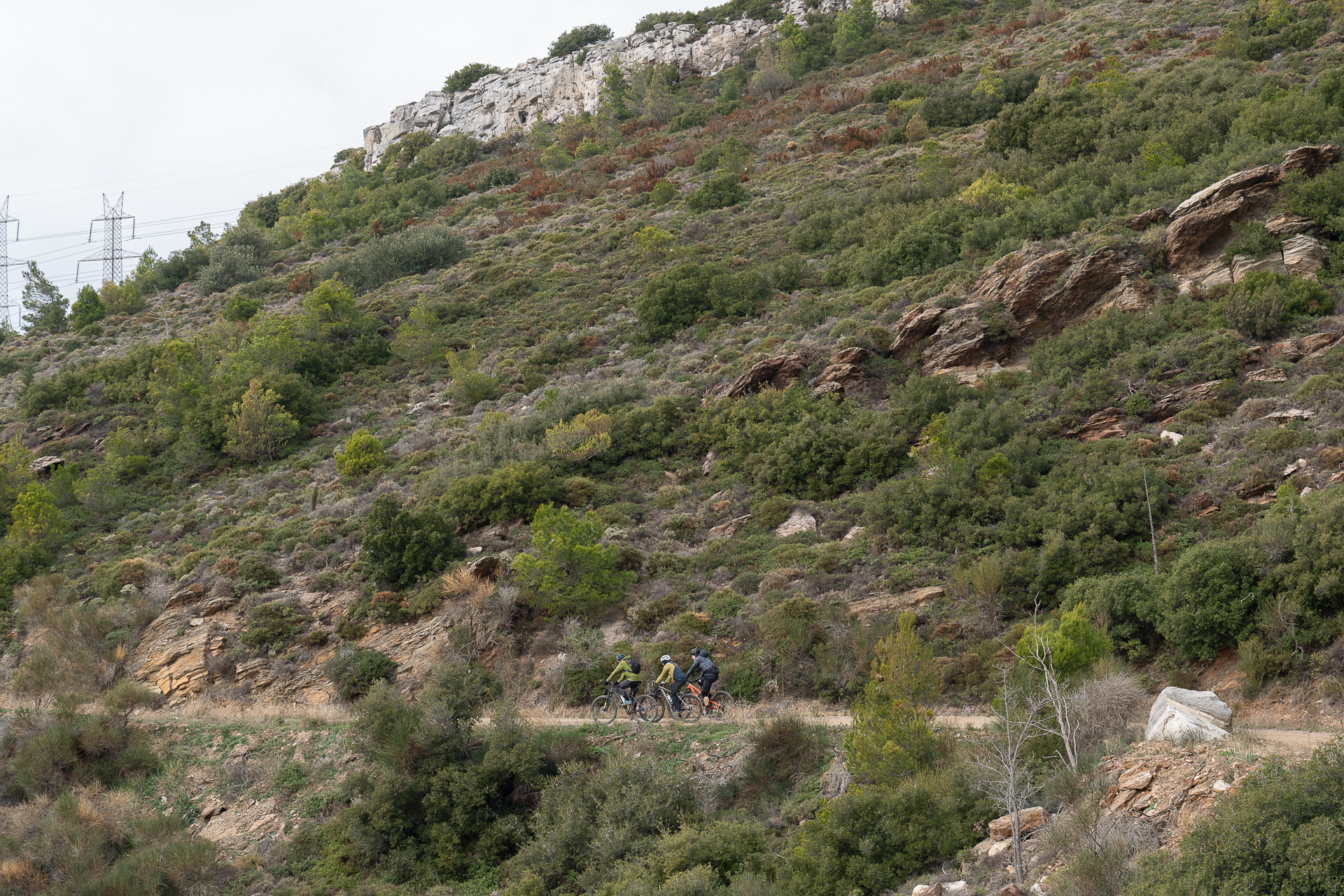
This suggested loop is relatively short, but mostly dirt terrain, and can easily be combined with other rides in the wider area. The starting point is the first dirt road on the left as you exit Nea Penteli, heading toward the summit of Mount Penteli. The climb follows scenic dirt tracks with moderate gradients, except for the last steep section below the Monastery of Agios Panteleimonas. But the real reason you’ve come here is the descent! A beautiful trail—rocky at first, then smoother dirt further down—that traverses briefly before dropping across the entire western slope of the mountain. By repeating the loop, you can try several more downhill trails in the area, always with due caution.
9.0 km.
ROAD
DIRTROAD
BAD DIRTROAD
PATH
9.0 km.
ROAD
DIRTROAD
BAD DIRTROAD
PATH
ROAD
BAD DIRTROAD
DIRTROAD
PATH
GALLERY
ROAD BOOK
| Distance between points | Total distance | Description | |
|---|---|---|---|
| 0 | 0 |  |
Start on the first dirt road on your left, just outside Nea Penteli, heading toward the mountain summit. Initially follow the asphalt road toward Nea Penteli; after 50 m turn left onto a dirt road. |
| 0.9 | 0.9 |  |
At the first fork, turn right. |
| 0.1 | 1.0 |  |
On the asphalt road, turn right uphill |
| 0.5 | 1.5 |  |
After the large open area (motocross track), on the right-hand hairpin, turn left onto a dirt road. |
| 1.7 | 3.2 |  |
At the junction under the power lines, turn right onto a steep climb. |
| 0.3 | 3.5 | |
20 m after the power pole on your right, turn left carefully onto the trail (don’t miss the entrance!). |
| 0.7 | 4.2 | |
At the first trail fork, turn right |
| 0.1 | 4.3 | |
At the second fork, turn right again |
| 0.2 | 4.5 |  |
At the third fork, turn left (not toward the red arrows) |
| 0.5 | 5.0 | |
On the dirt road, turn left downhill (towards Penteli) |
| 0.1 | 5.1 |  |
At the junction, go straight, taking the middle of the three roads |
| 0.5 | 5.6 |  |
Ignore the dirt road and trails to your left leading to the motocross track, keep right downhill. |
| 0.4 | 6.0 |  |
At the end of the dirt road, turn left onto the asphalt road |
| 0.6 | 6.6 |  |
Turn right onto the second dirt road |
| 0.6 | 7.2 |  |
Ignore the first road going right, continue straight |
| 0.5 | 7.7 | |
At the fork, turn left |
| 0.2 | 7.9 | |
At the junction just above the cemetery, go straight ahead and return to the starting point |