
KITHAIRON
KILOMETERS
DURATION
ELEVATION
PROPOSED SEASON
DIFFICULTY
PHYSICAL CONDITION
TECHNICAL DIFFICULTY
STARTING POINT
Author:
G. Koutrotsios
Photos:
V. Karalaios
THE MYTHICAL KITHAIRON LOOP
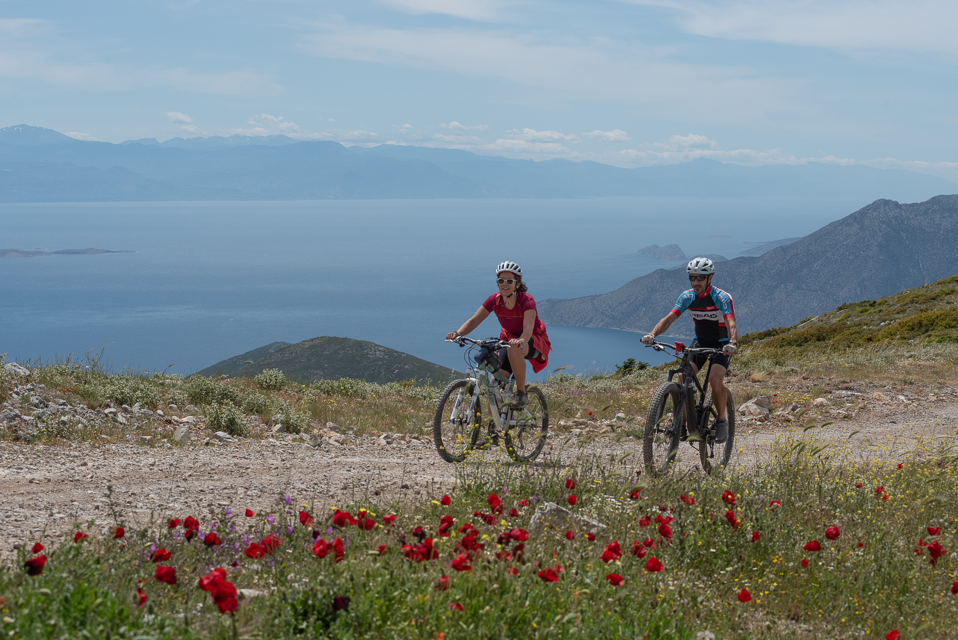
The loop around the mythical Kithairon demands endurance but rewards cyclists in many ways! Dense forests, scenic dirt roads, a technical downhill trail, and a traverse along the ridge amid wind “giants” are just some of the elements that make this route special. The rest you will discover while riding.
INTRODUCTION
Kithairon rises proudly from the Corinthian Gulf to Mount Pastra and forms the natural boundary between the regions of Attica and Boeotia. Its lower slopes are covered with Aleppo pines, intermixed with strawberry trees, kermes oaks, and other shrubs, while a beautiful forest of Cephalonia fir spreads around the peaks.
Since antiquity, the mountain has been famous for its rich, wild forests, which were the setting for Dionysian rituals and are steeped in mythological references. Oedipus was abandoned here as an infant, the ferocious lion slain by Heracles roamed its dense forests, the terrifying Erinyes launched their pursuits from here, and in a gorge of the mountain, the children of Antiope—Zethus and Amphion, later kings of Thebes—were raised.
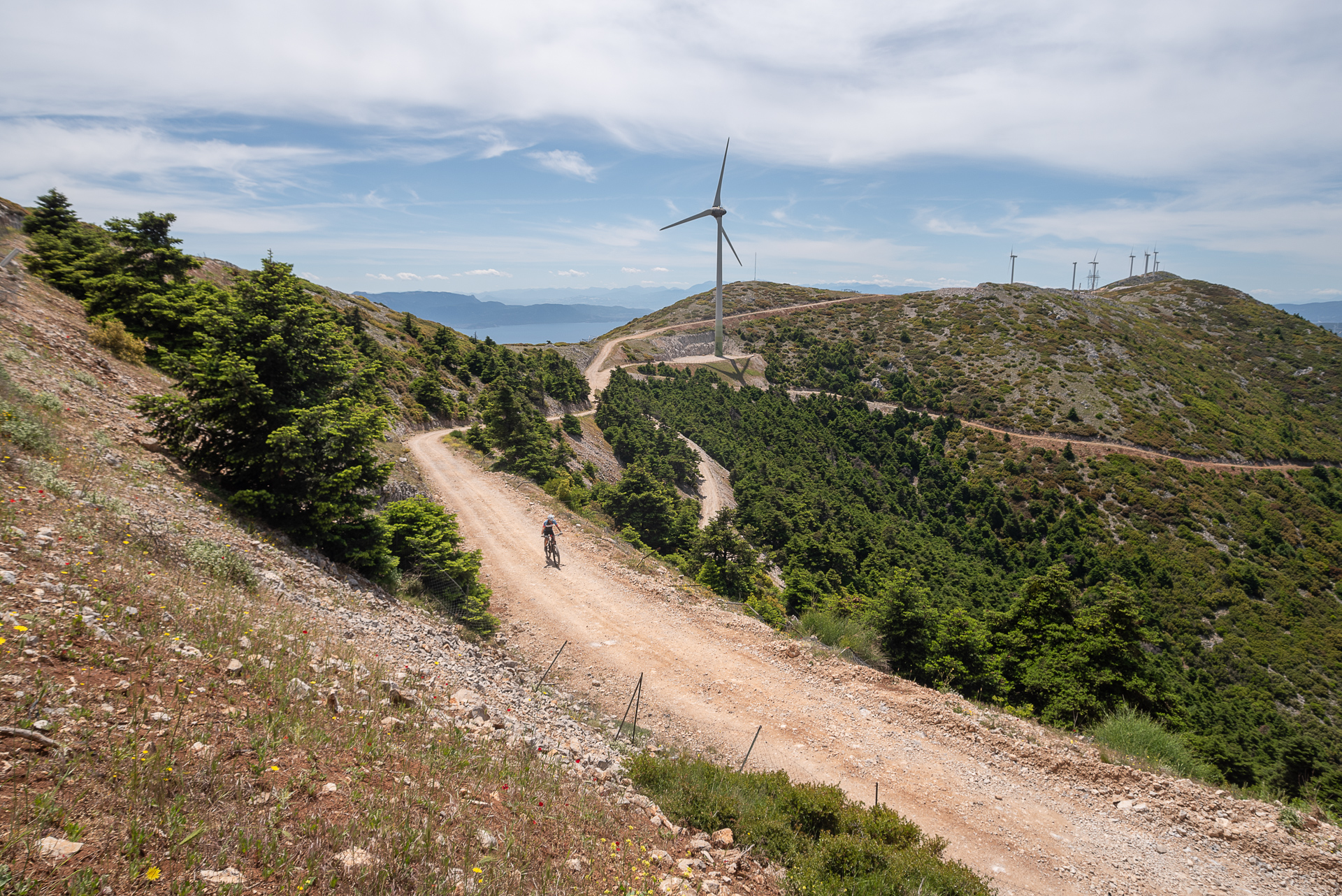
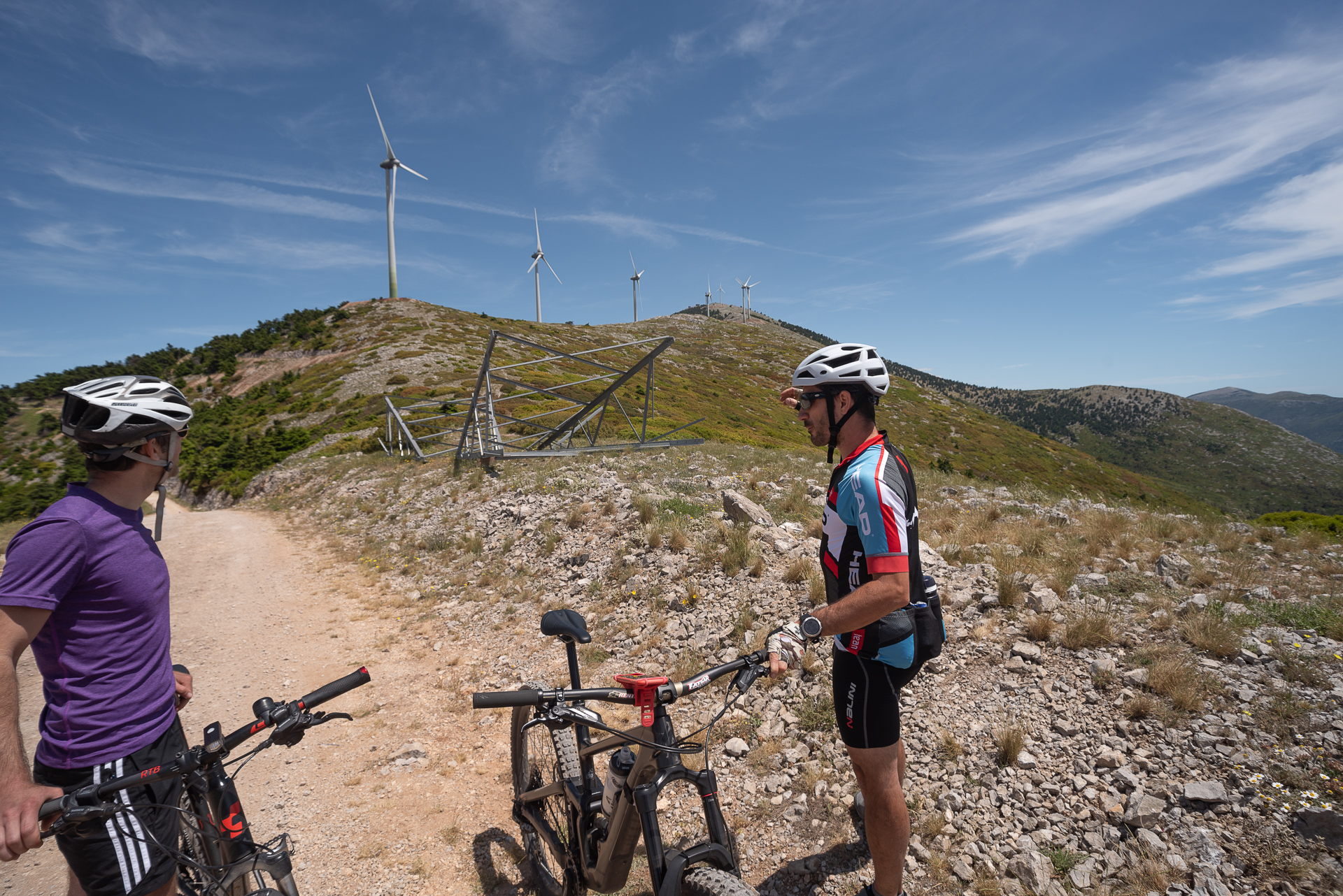
The beauty that protected and mythologized Kithairon for millennia has been brutally altered in the past decade by “green development” with a dark face. Mythical figures were replaced by towering wind turbines, trails by wide roads, and the natural environment of the ridge transformed into an energy production construction site. Yet, Kithairon remains imposing and majestic, its forests dense, and the cycling options plentiful.
ROUTE DESCRIPTION
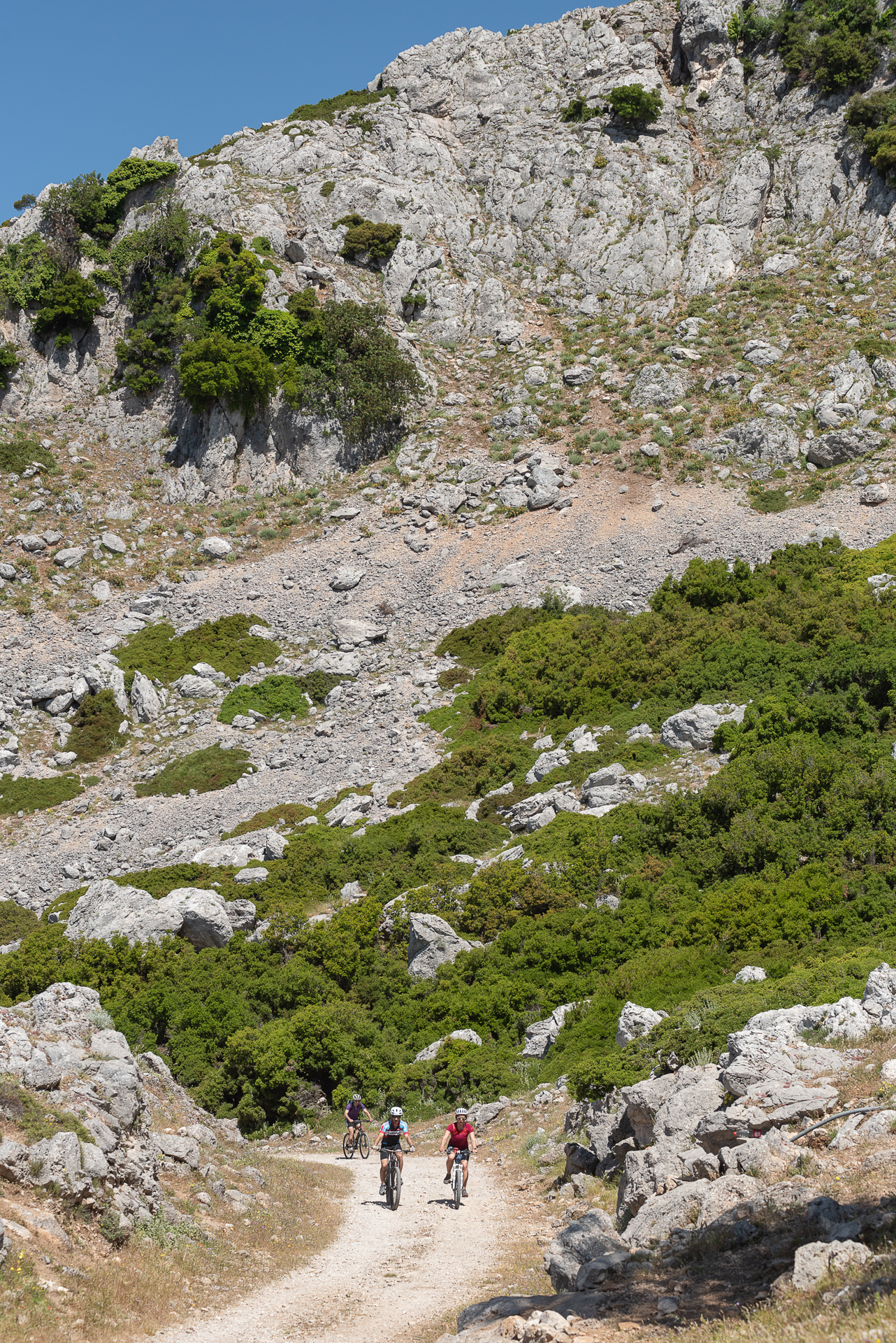
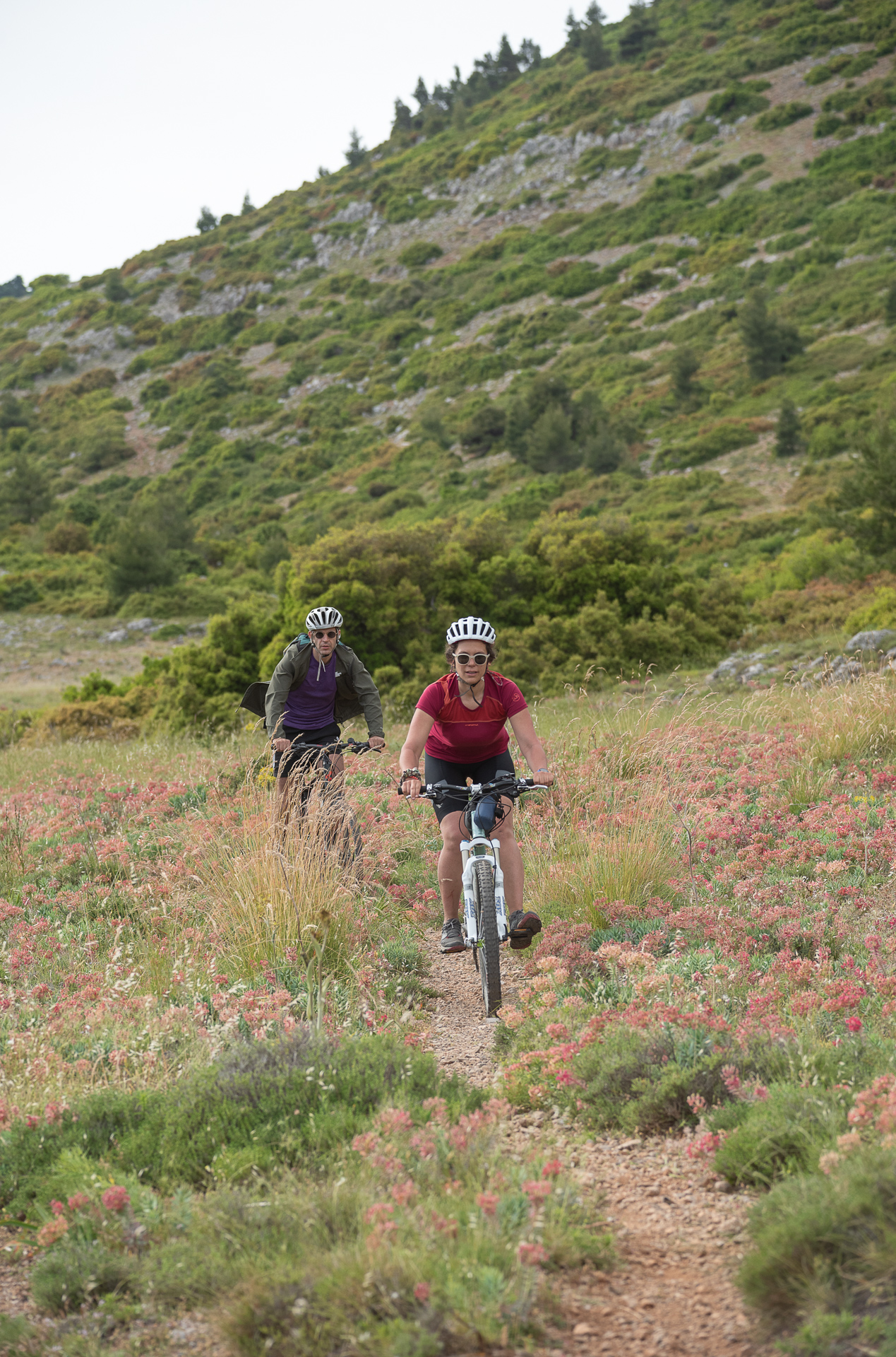
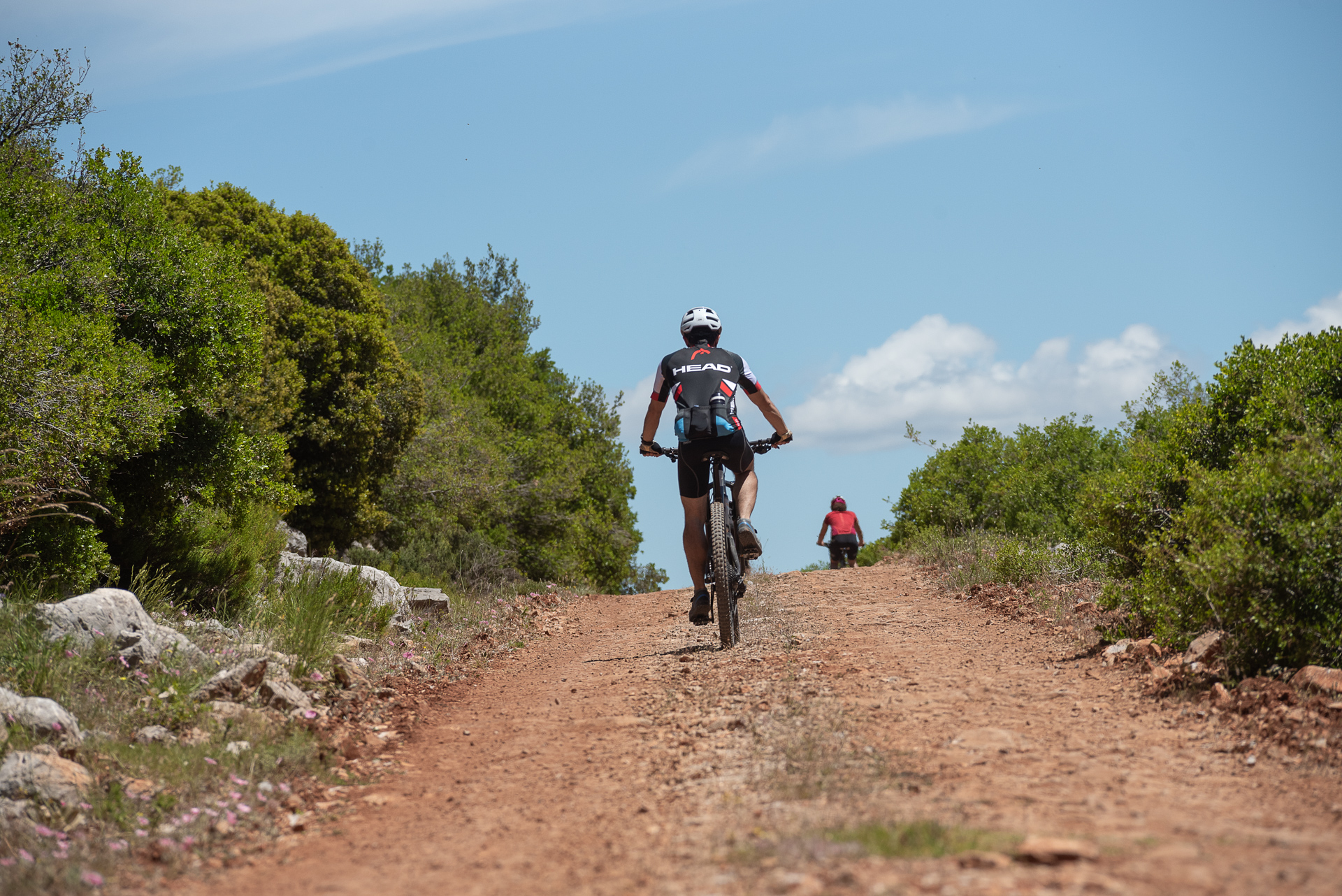
The proposed route starts at the Tsiás spring, just outside the village of Vilia, ascending the eastern slopes of the mountain. It then crosses the northern slopes via passable, scenic dirt roads shaded by firs.
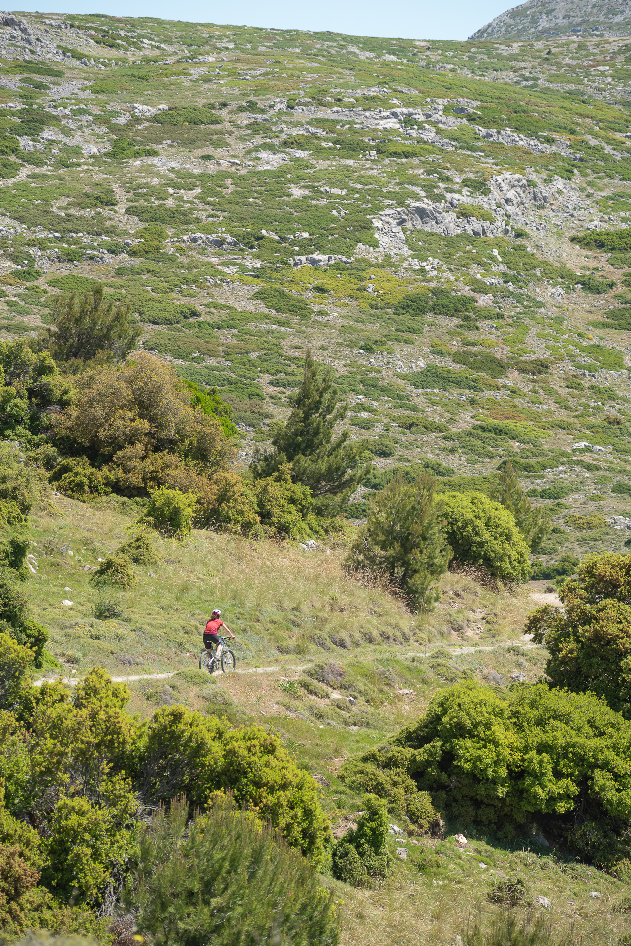
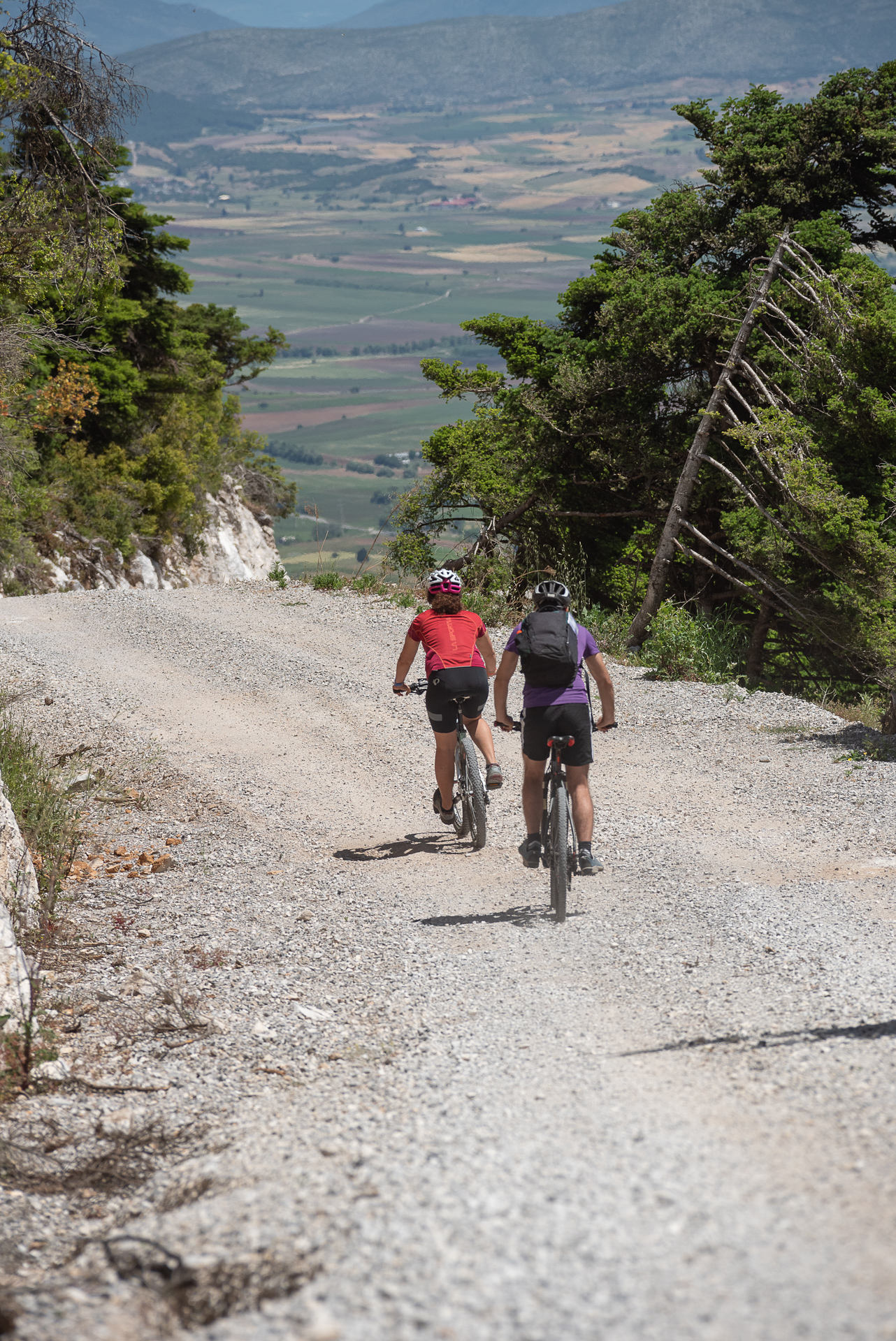
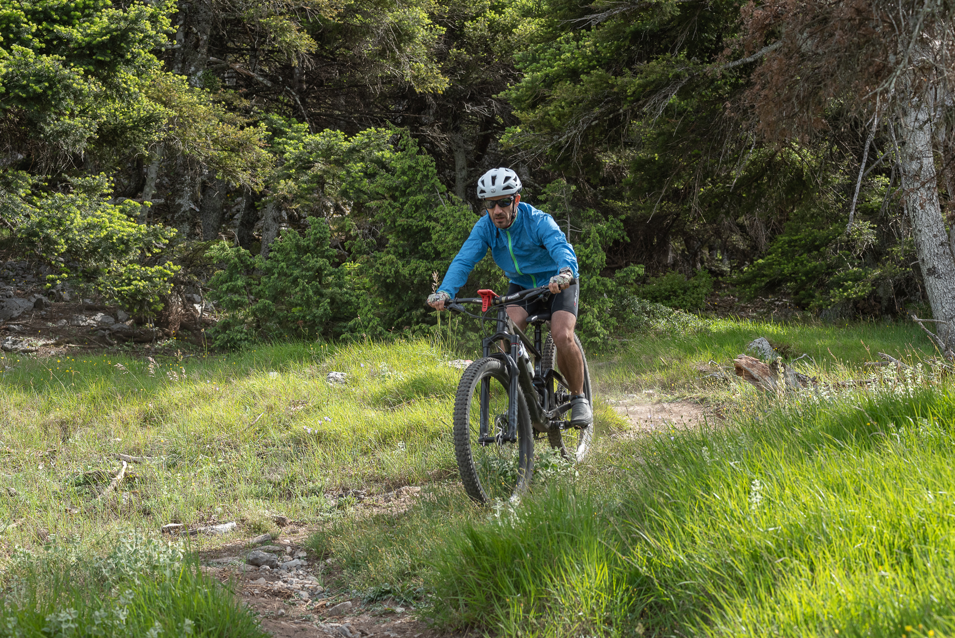
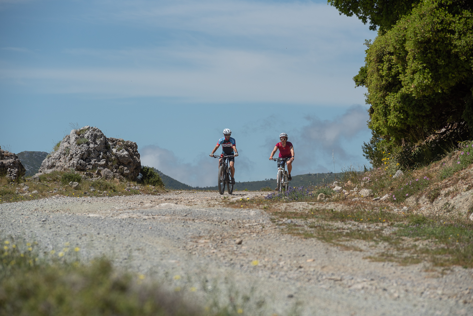
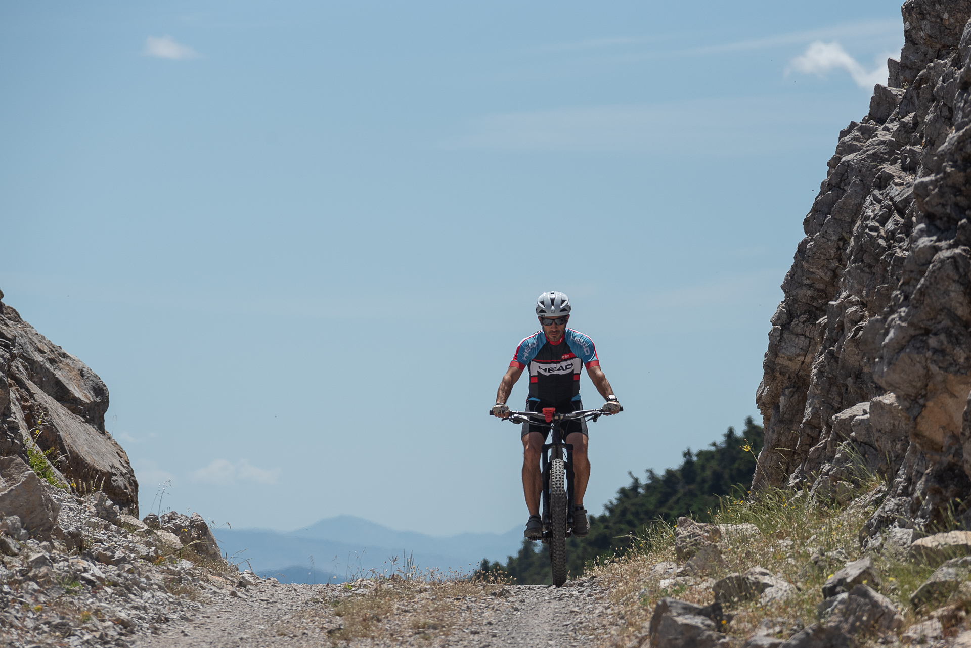
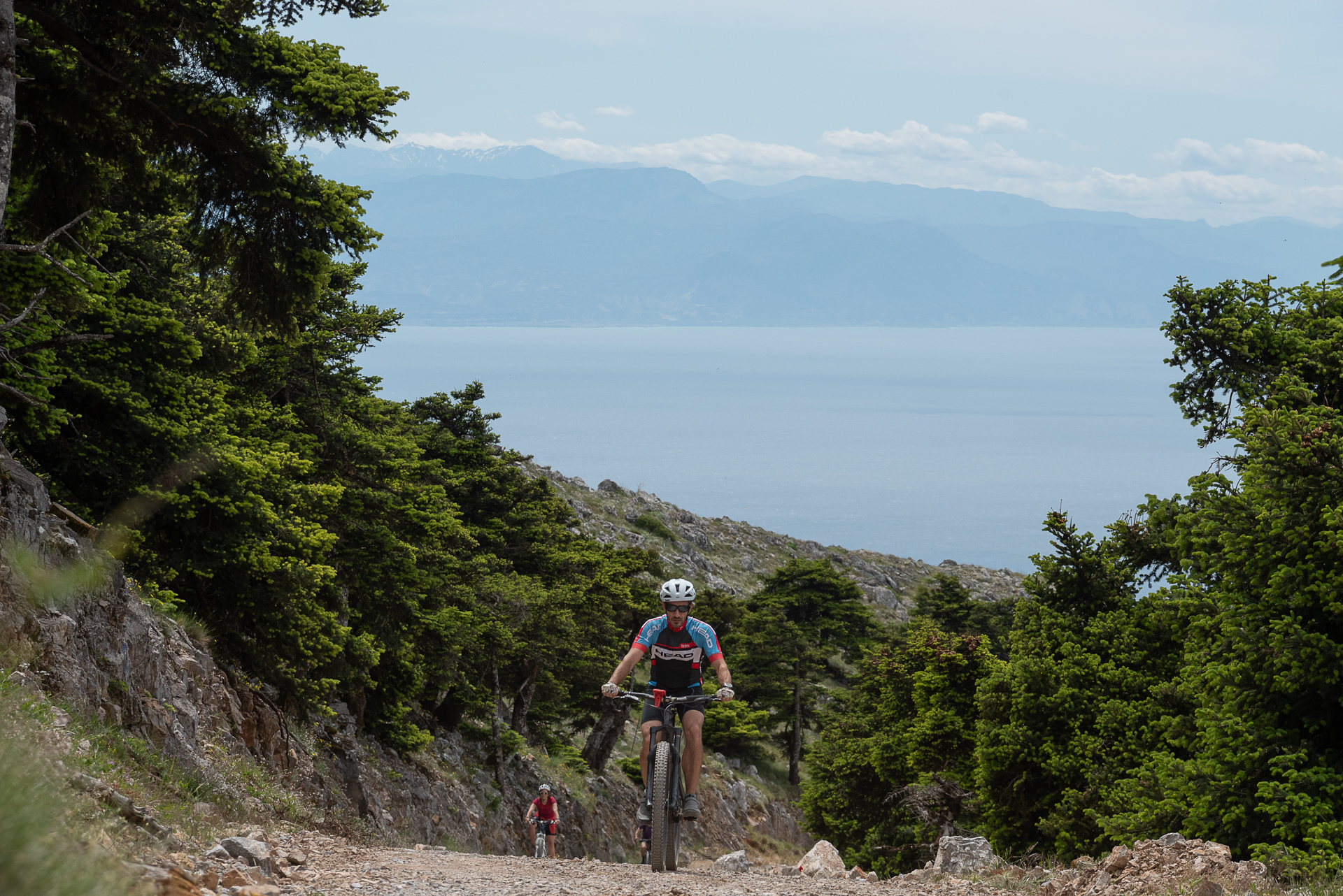
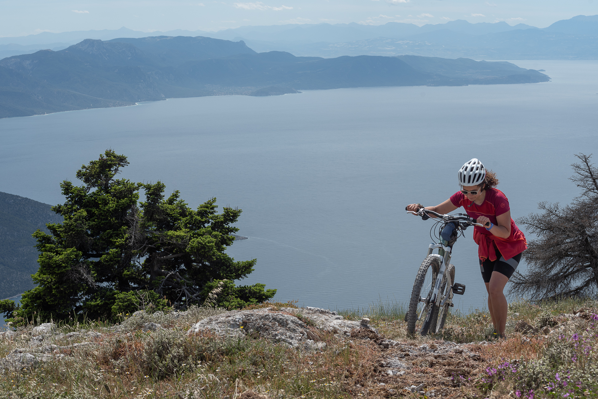
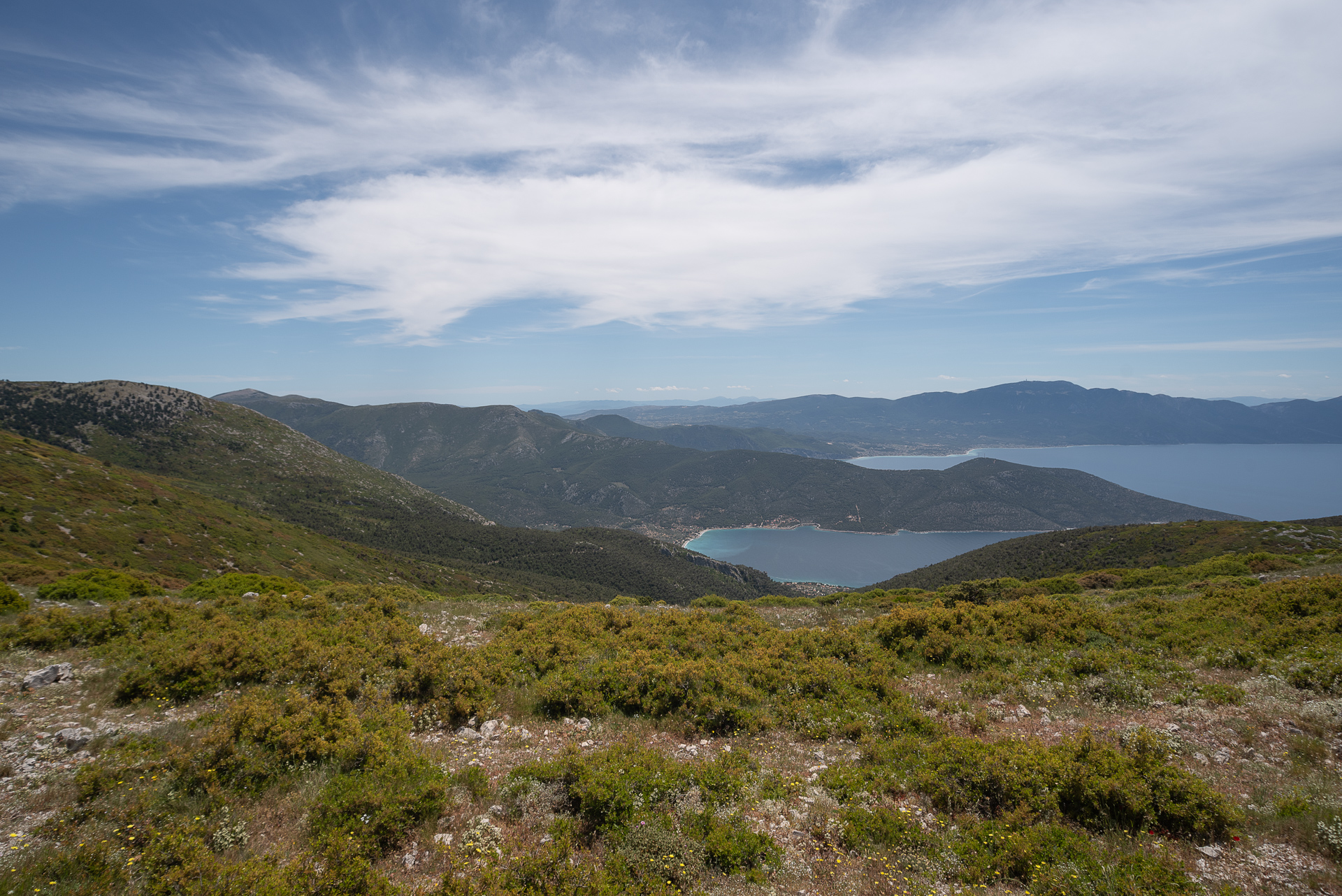
A demanding 6 km uphill section with roughly 600 m of elevation gain leads to the summit, offering panoramic views of the Corinthian Gulf, the Thiva plain, and surrounding mountains. The final 11.6 km are exclusively downhill, easy and enjoyable. The initial asphalt section is fast, the trail after the mountain refuge is technical, and the final dirt road satisfies every cyclist’s taste. The terrain is often rough with loose gravel. Overall, the route requires good physical fitness, while the trail demands solid technical skills.
34.1 km.
ROAD
DIRTROAD
BAD DIRTROAD
PATH
34.1 km.
ROAD
DIRTROAD
BAD DIRTROAD
PATH
ROAD
BAD DIRTROAD
DIRTROAD
PATH
GALLERY
ROAD BOOK
| Distance between points | Total distance | Description | |
|---|---|---|---|
| 0 | 0 |  |
Starting point: Tsiás spring, on the provincial road Oinoi–Porto Germeno, shortly after Vilia. Park at the spring and take the old asphalt road to the right of the spring. |
| 3.8 | 3.8 |  |
First fork, left, slightly uphill. |
| 2.6 | 6.4 |  |
Ignore the diagonal-back right road, continue straight toward Kithairon’s summit. |
| 0.7 | 7.1 |  |
At the fork, right, under the power lines. |
| 0.4 | 7.5 | |
Next fork, left |
| 0.2 | 7.7 |  |
At the saddle, go straight through the intersection. |
| 7.7 | 15.4 | |
At the fork under the wind turbines, left uphill. |
| 2.3 | 17.7 |  |
Just before the wind turbine saddle, ignore diagonal-back left road, continue straight. |
| 0.4 | 18.1 |  |
At the wind turbine saddle, diagonal-back left. |
| 2.7 | 20.8 | |
At the last wind turbine, straight toward the summit. No clear path, but the summit is visible. |
| 1.7 | 22.5 |  |
Just before the summit, at the antenna, right downhill onto an old asphalt road. |
| 4.4 | 26.9 |  |
At the mountaineering refuge V. Tsakos, left onto trail 22 (left of the refuge). |
| 1.5 | 28.4 | |
At the forest exit, right downhill onto a faint dirt road. |
| 0.7 | 29.1 | |
At the end of the poor dirt road, right downhill. |
| 0.2 | 29.3 | |
End of descent, right. |
| 3.4 | 32.7 | |
End of dirt road, left onto asphalt toward Vilia. |
| 1.3 | 34 | |
At the intersection, straight (left) and after 50 m, you reach the starting point. |